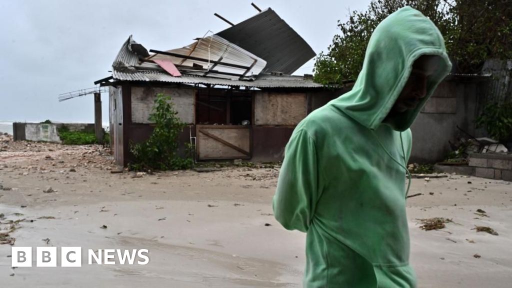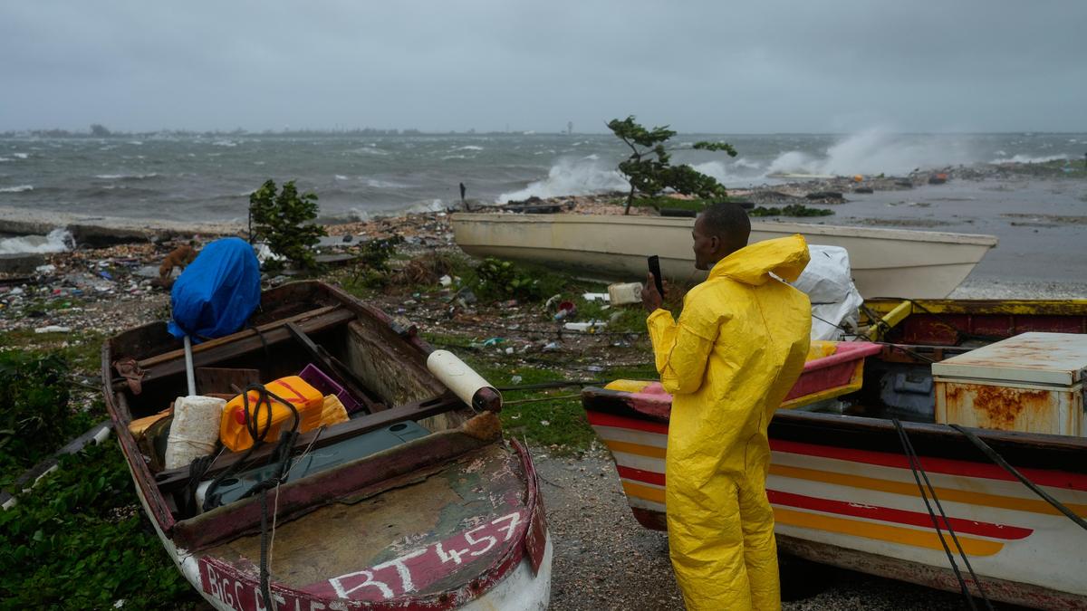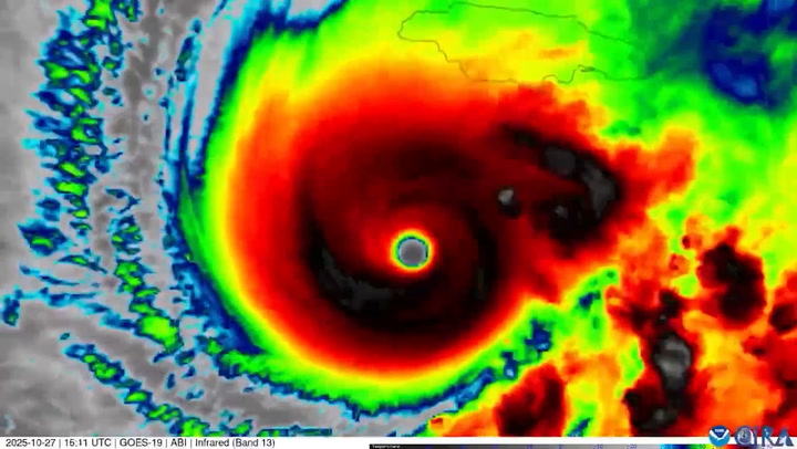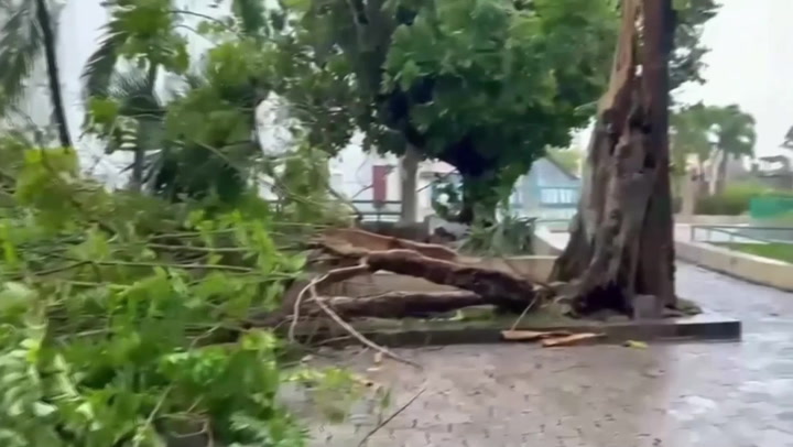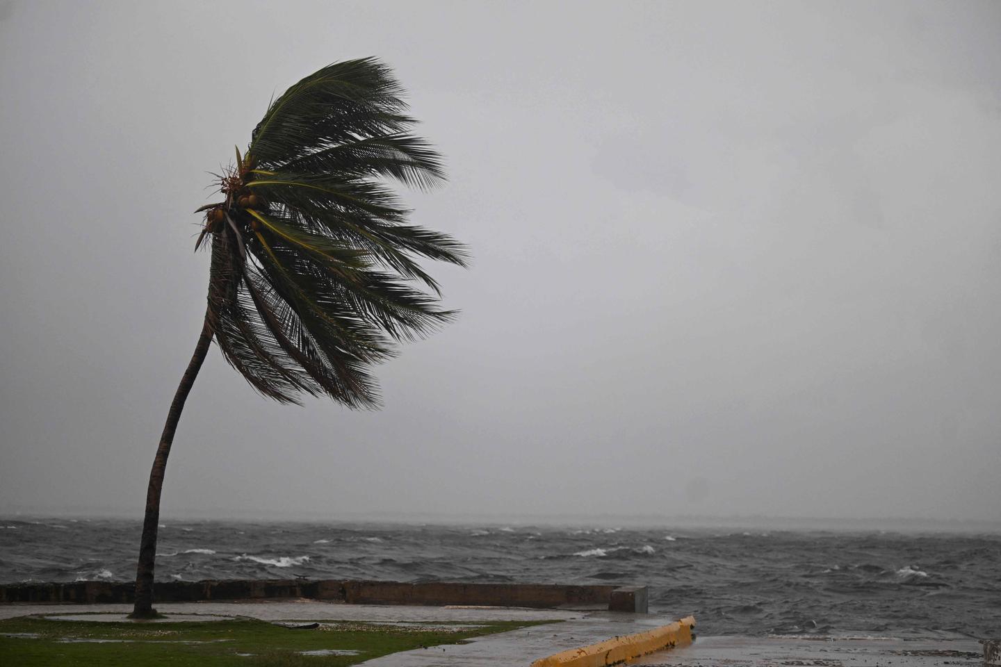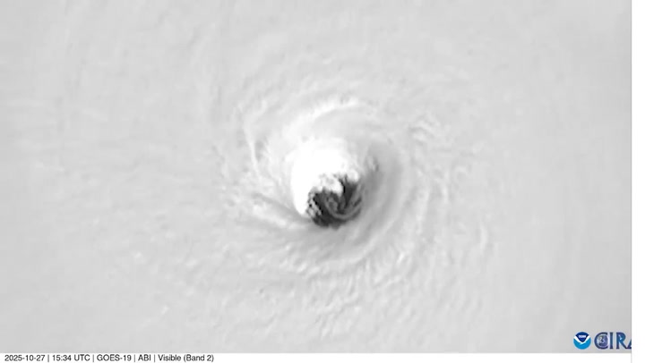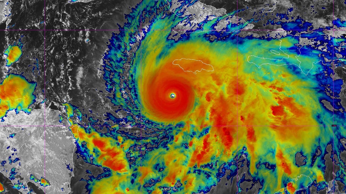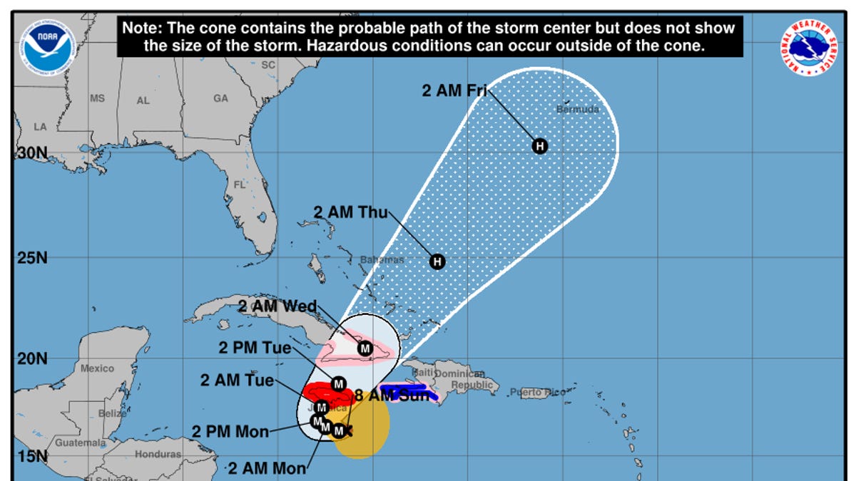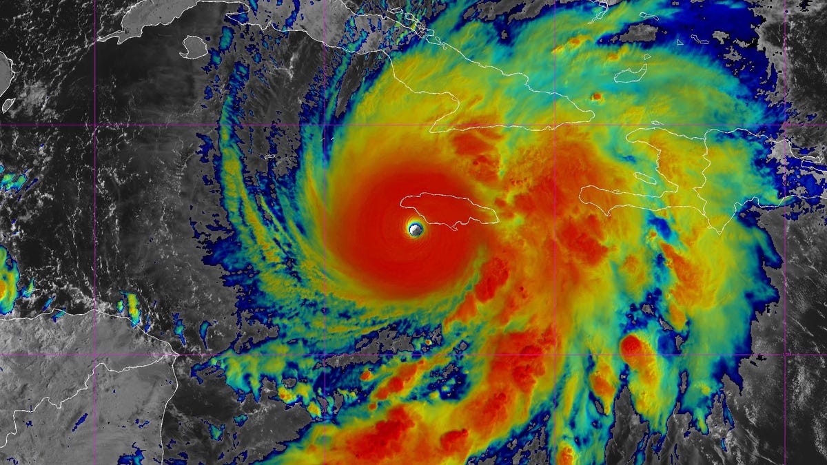
As Hurricane Melissa neared the Jamaican coast, winds in the spiraling wall of clouds around its eye gusted to almost unimaginable speeds.
How fast? Faster than most tornadoes. Faster than a race car at Daytona. Faster than the fastest roller coaster and approaching some of the higher wind speeds in a jet stream.
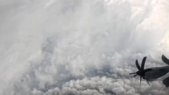
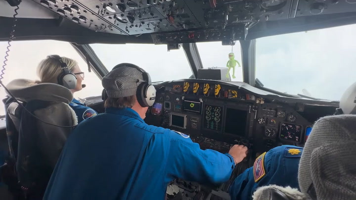
As the fierce storm headed for Jamaica on Oct. 28, Andy Hazelton was aboard Kermit, one of the National Oceanic and Atmospheric Administration’s reconnaissance aircraft. An associate scientist at the University of Miami, Hazelton was processing the data flowing in from the weather instruments being dropped into the storm. At one point, he watched a squiggly line showing a wind gust that veered right off the graph display.
“I couldn’t believe it,” he posted on X. The data point? A spot wind gust of 219 knots. That’s 252 mph.
“That’s booking,” said James Franklin, a retired former branch chief for the hurricane specialist’s unit at the National Hurricane Center. If the measurement verifies, as Franklin believes it will, it would be the highest speed ever recorded in a tropical cyclone by a dropsonde, one of the workhorse instruments used for decades to measure conditions inside the storms.