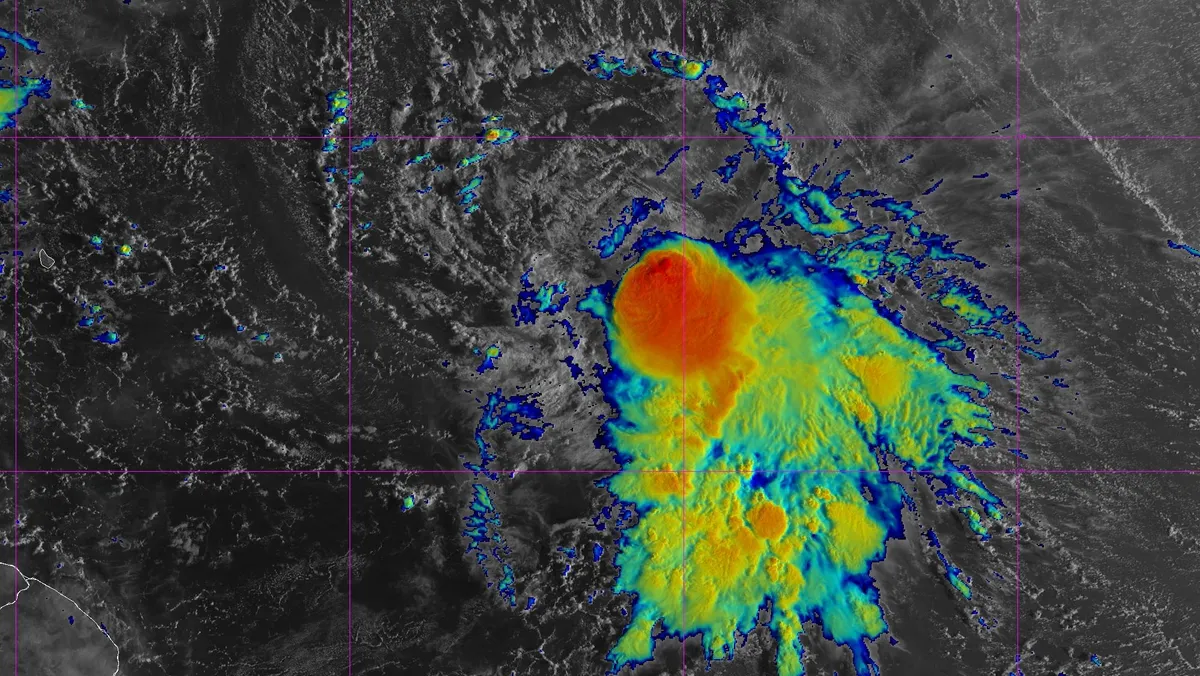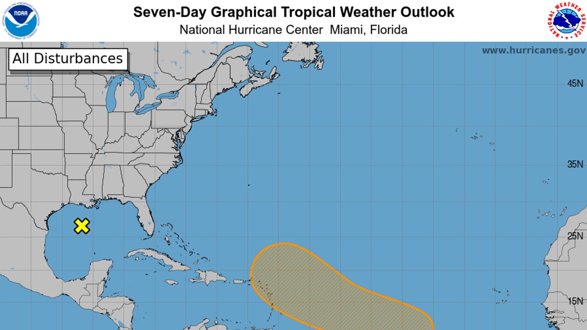
Tropical Storm Jerry continues to spin in the Atlantic Ocean, posing a flash flooding threat for the Leeward Islands as it brings heavy rain across the region.
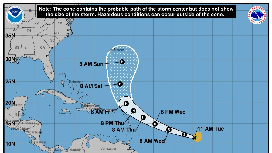
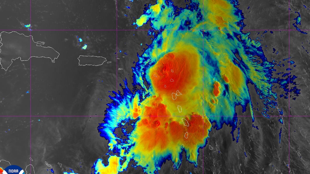
The National Hurricane Center said in an Oct. 10 advisory that Jerry is located about 80 miles north-northeast of the northern Leeward Islands with maximum sustained winds near 50 mph with higher gusts.
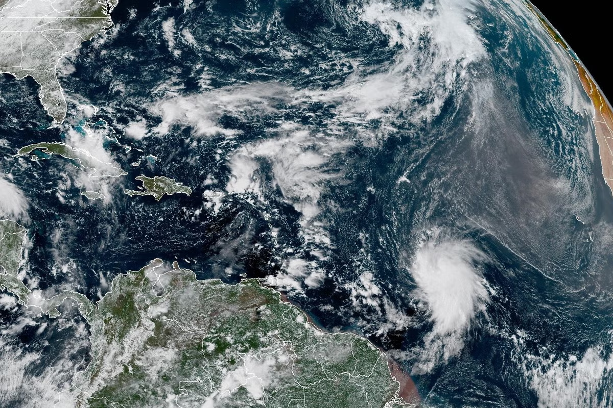
Forecasters said little change in strength is expected Friday; however, "slow strengthening" is possible over the weekend. The hurricane center said Jerry is moving northwest near 17 mph, with a turn toward the north expected Friday night into Saturday, Oct. 11, and a northeastward motion through the rest of the weekend.
On the forecast track, the center of Jerry is expected to pass to the north of the Leeward Islands on Friday morning, Oct. 10, and then move away from the islands later in the day.
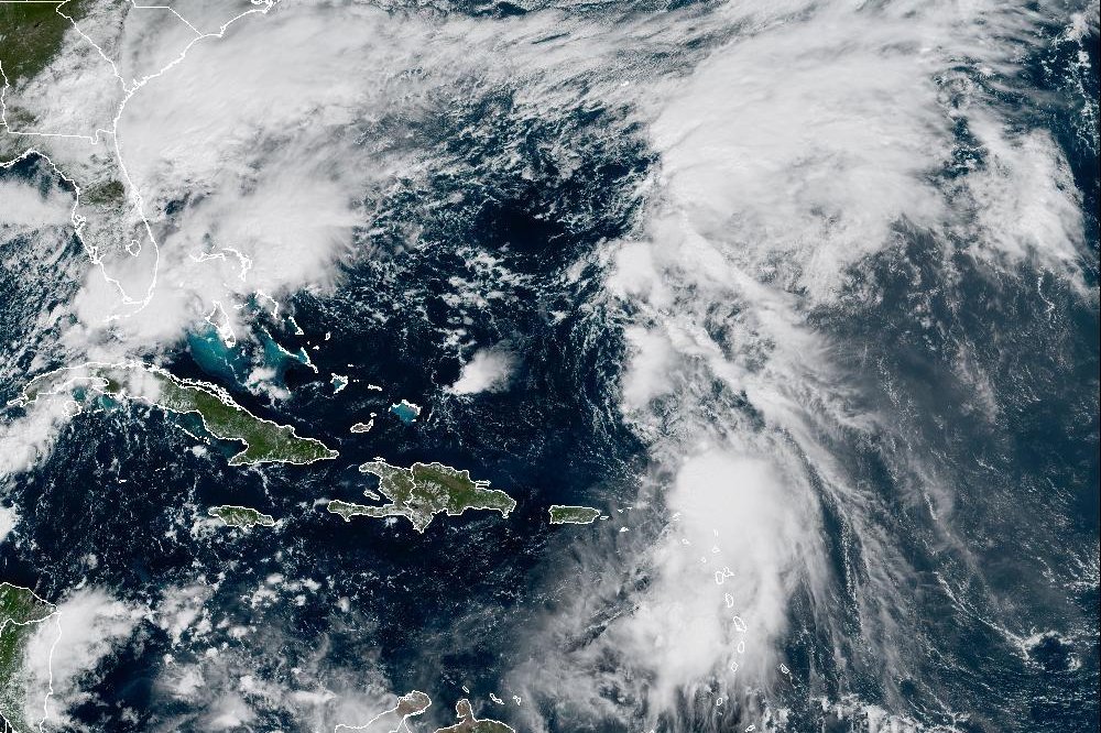
Forecasters said 4 to 6 inches of rain are expected across the island of Barbuda, while areas across the Leeward and Virgin Islands can expect 2 to 4 inches of rain. Portions of Puerto Rico could also see anywhere from 2 to 6 inches of rain due to moisture associated with Jerry, according to the hurricane center.