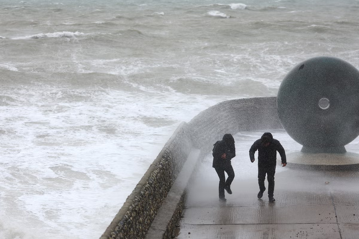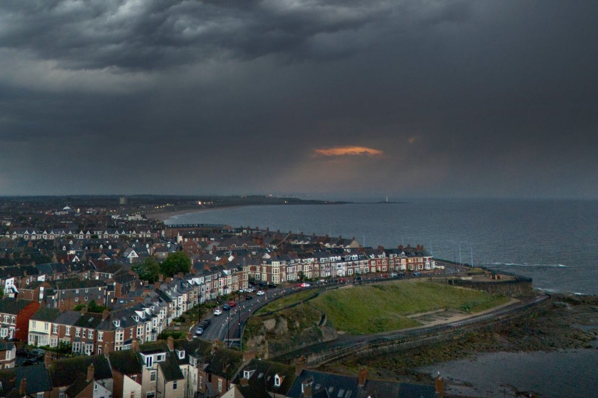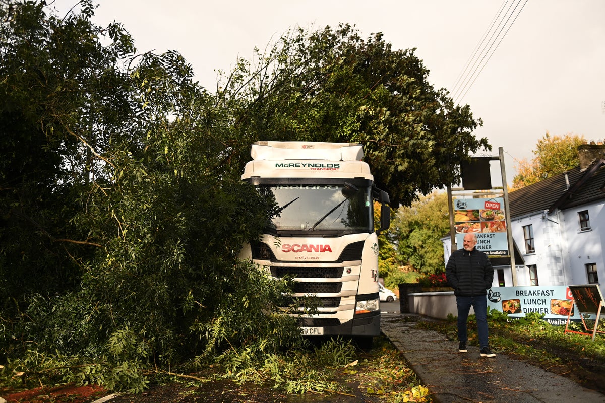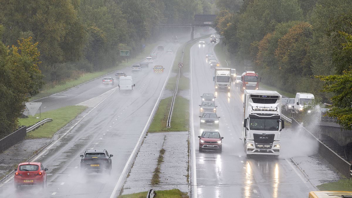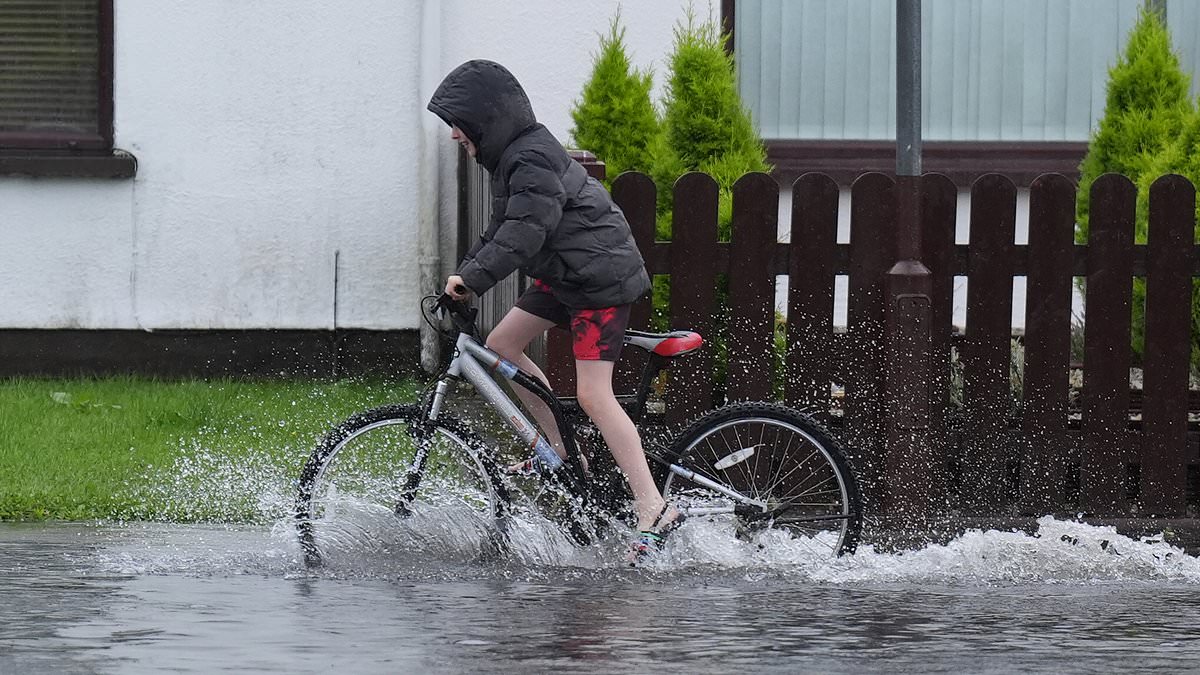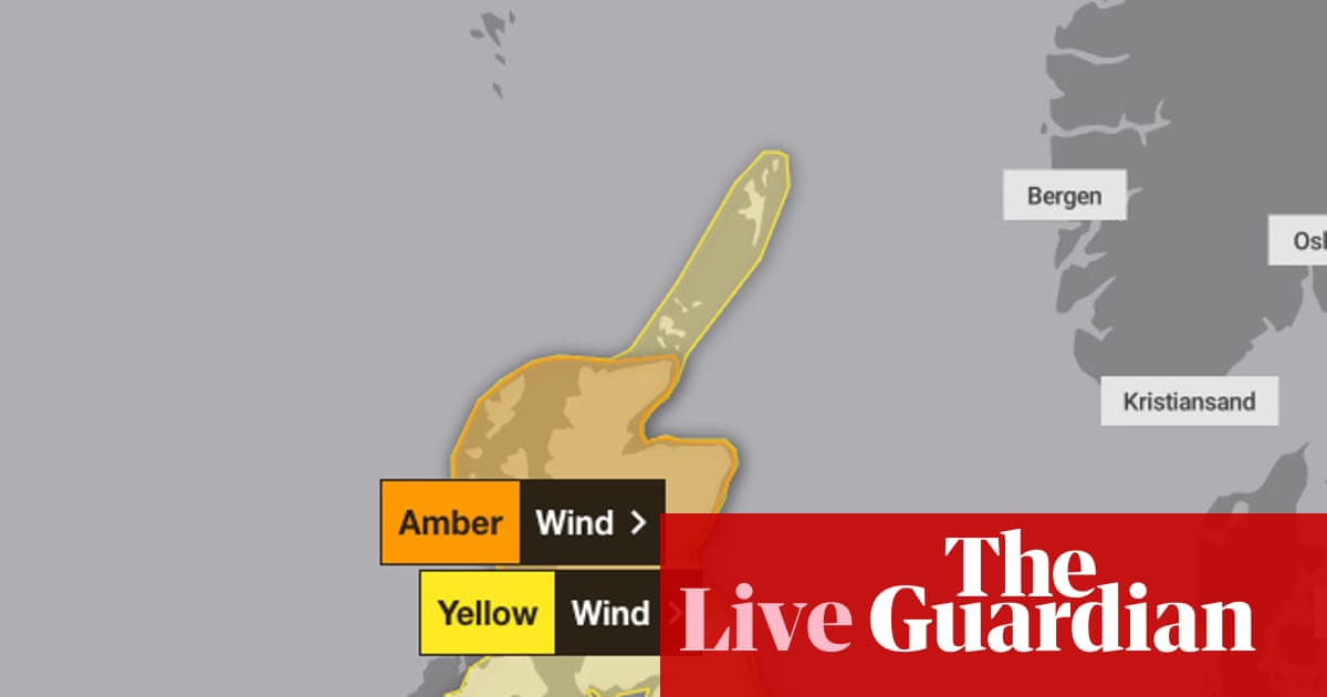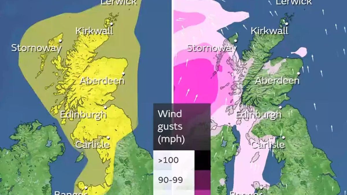
A map has revealed when torrential rain and 95mph gales will batter the country, as Brits prepare for Storm Amy.The Met Office has issued an amber severe wind warning for parts of northern Scotland and warned of damaging gusts across the countryScotland will receive a rain warning at midday on Friday which will last until the end of Friday.In the meantime, yellow wind warnings will be imposed on Scotland and northern England from 3pm on Friday to the end of Saturday, and on Northern Ireland from 4pm on Friday until 6am on Saturday.Winds of 70mph are expected to hit affected areas, while exposed spots in northern and western Scotland face gusts of 80mph. Northern and western areas of the UK are expected to be worst hit by Storm Amy, with its development influenced by the remnants of Hurricanes Humberto and Imelda causing rapid cyclogenesis, a sharp drop in pressure known as a 'weather bomb'.The Met Office expects possible disruption to transport, power supplies and outdoor activities, especially from Friday evening into Saturday. The forecaster has imposed a 31-hour yellow rain warning for western Scotland from 5pm on Wednesday until the end of Thursday, at which point the first named storm of autumn will officially arrive. A similar warning will apply to Northern Ireland from 10pm on Thursday.Yellow wind warnings will be imposed on Scotland and northern England from 3pm on Friday to the end of Saturday Scotland will receive a fresh rain warning at midday on Friday which will last until the end of Friday
Map reveals when Storm Amy's rain and 95mph gales to batter Britain
The Met Office imposed a 31-hour yellow rain warning for western Scotland from 5pm on Wednesday until the end of Thursday, at which point the first named storm of autumn will officially arrive.
1,235 words~6 min read