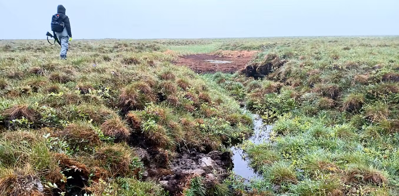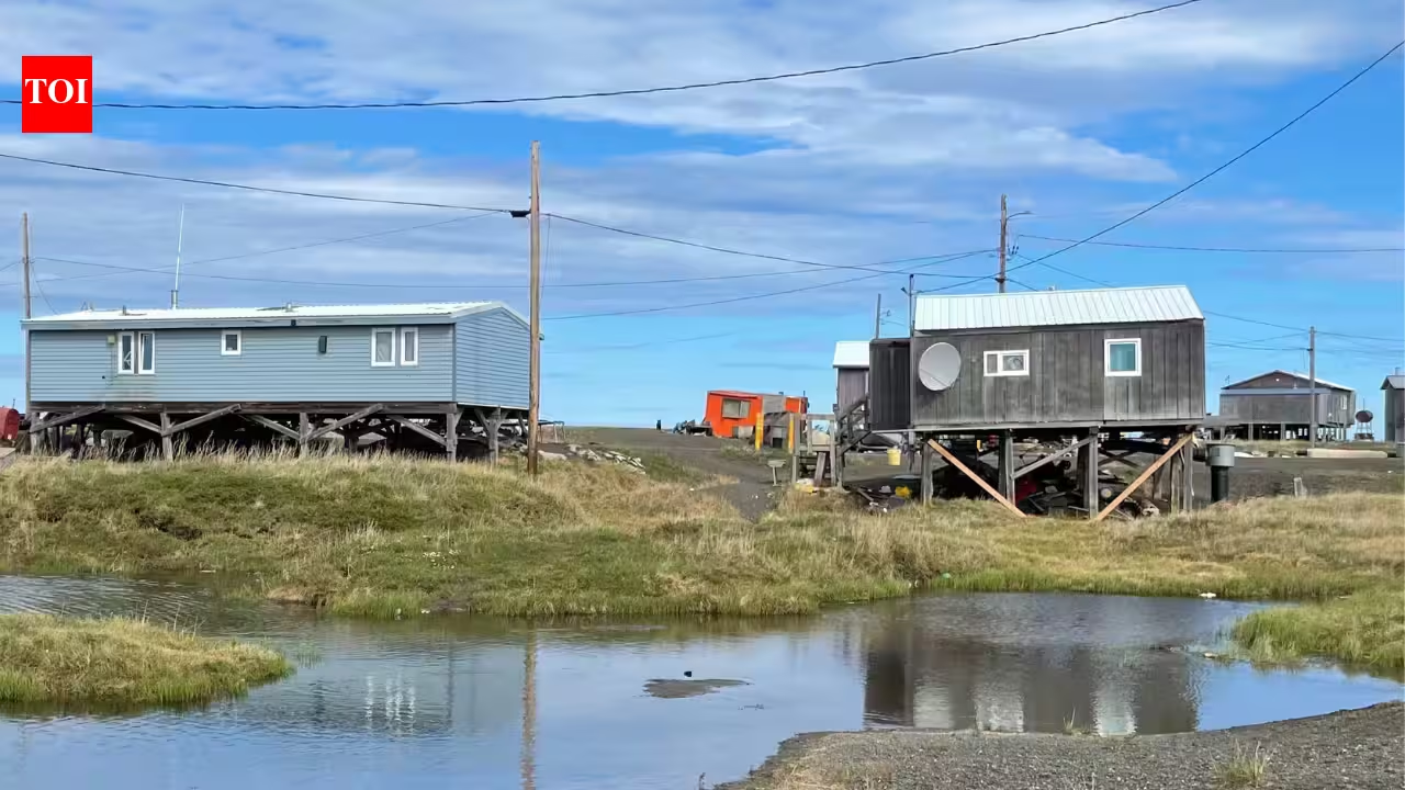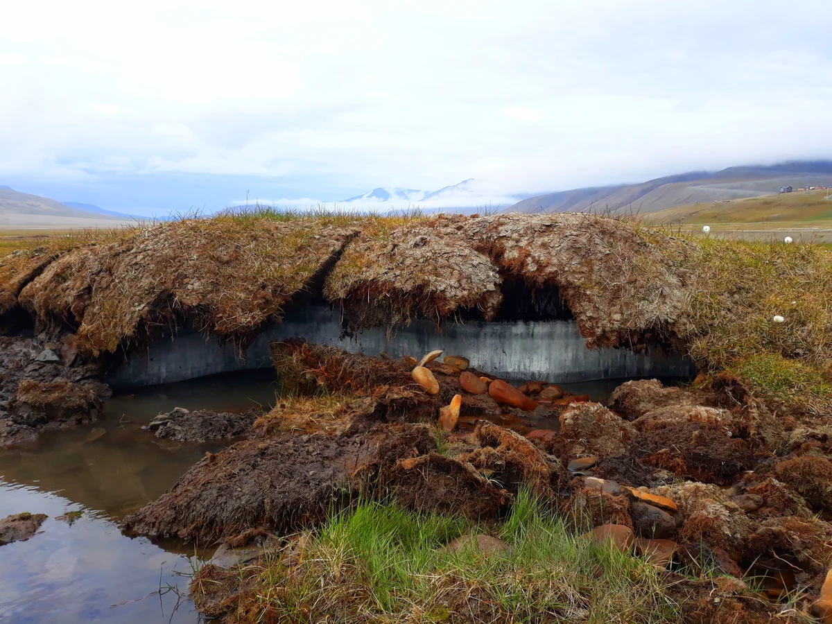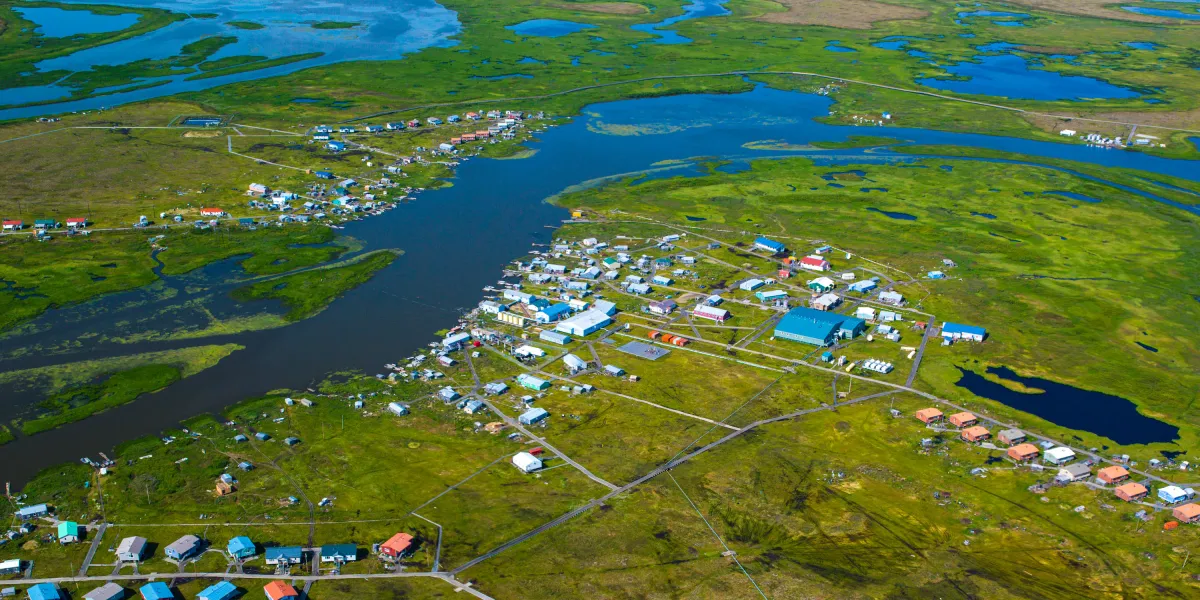
Something is rotten in the city of Nunapitchuk. In recent years, a crack has formed in the middle of a house. Sewage has leached into the earth. Soil has eroded around buildings, leaving them perched atop precarious lumps of dirt. There are eternal puddles. And mold. The ground can feel squishy, sodden. This small town in northern Alaska is experiencing a sometimes overlooked consequence of climate change: thawing permafrost. And Nunapitchuk is far from the only Arctic town to find itself in such a predicament. Permafrost, which lies beneath about 15% of the land in the Northern Hemisphere, is defined as ground that has remained frozen for at least two years. Historically, much of the world’s permafrost has remained solid and stable for far longer, allowing people to build whole towns atop it. But as the planet warms, a process that is happening more rapidly near the poles than at more temperate latitudes, permafrost is thawing and causing a host of infrastructural and environmental problems. Now scientists think they may be able to use satellite data to delve deep beneath the ground’s surface and get a better understanding of how the permafrost thaws, and which areas might be most severely affected because they had more ice to start with. Clues from the short-term behavior of those especially icy areas, seen from space, could portend future problems.
Scientists can see Earth’s permafrost thawing from space
New ways to measure thawing permafrost could help us understand its potential impacts on infrastructure, military outposts, and communities.
3,563 words~16 min read