I
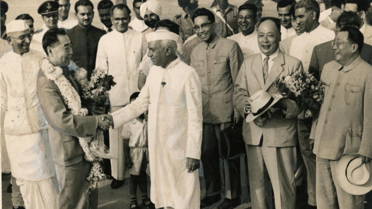
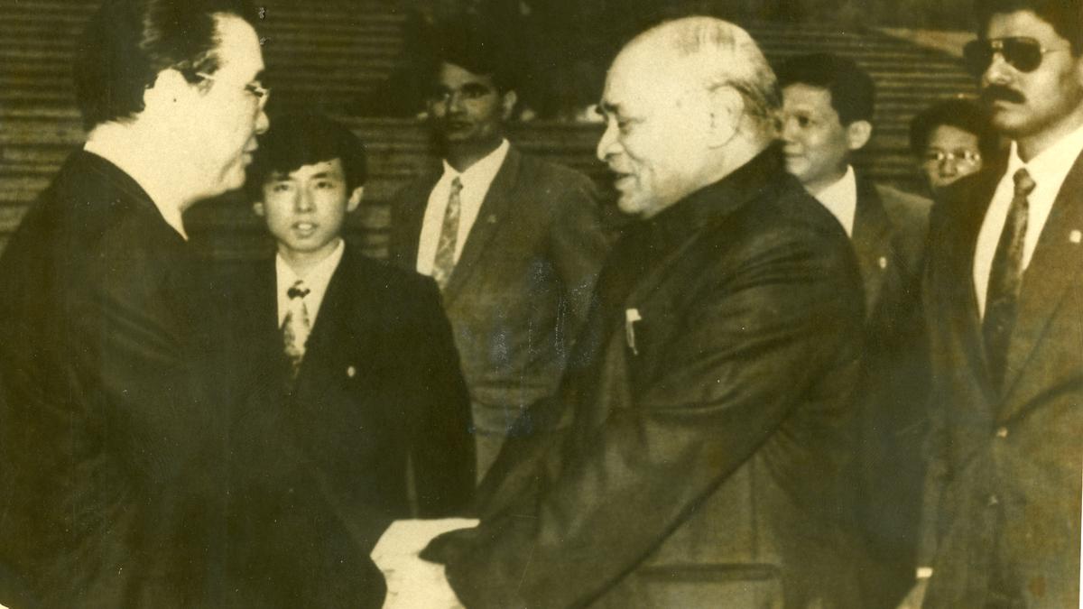
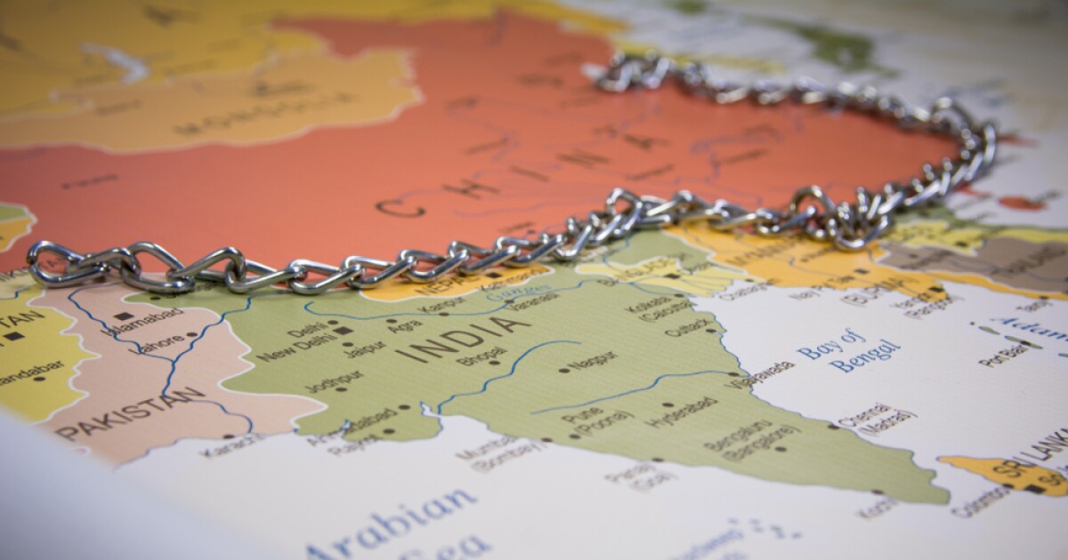
n a three-part series on the India-China border issue that appeared in the columns of The Hindu from September 5-9, 2025, the author, Manoj Joshi, develops a narrative on the assertion that the India-China border was not properly defined. This article presents another view on the same.
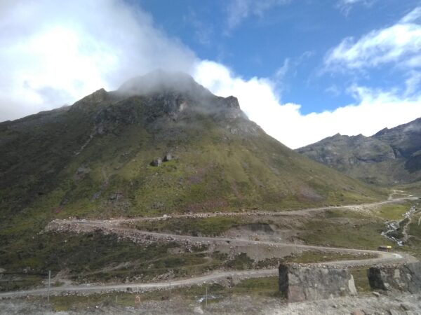
Official Manchu maps
During the 267-year Manchu rule (1644-1911), two major maps of the Empire, drawn to scale with coordinate lines, were prepared with the assistance of European Jesuits. The first is Emperor Kang-hsi’s map (1721), depicting the territorial bequest of the Tibet-Assam segment to the then Republic of China (RoC). In the map, Tibet was never conceived as a trans-Himalayan state. Its southern boundary extended only upto the Himalayas, for Tibetans never resided on the southern side of the Himalayan divide. Consequently, non-Tibetan Tawang, south of the Himalayan divide, although Buddhist, was not depicted as Tibetan territory. Corroborative evidence in this regard comes from the RoC delegate’s statement during the Simla Conference (1913-14), in which he categorically maintained that Tibet had no claim to the territories of the tribal belt (corresponding to present day Arunachal Pradesh) on the Assam side of the Himalayan divide, for they were not ethnically Tibetan and were self-governing.