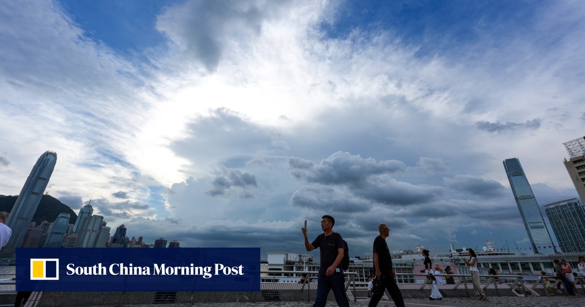
Forecaster says Ragasa is expected to enter northern part of South China Sea on Monday in ‘extensive’ circulation and at ‘relatively high’ speed
Hong Kong’s weather forecaster will issue the No 1 standby signal at 12.20pm on Monday and consider upgrading it to the No 3 alert later in the evening as Super Typhoon Ragasa moves towards the city at a “relatively high” speed.
The Hong Kong Observatory also warned that local winds would gradually intensify on Tuesday, with conditions expected to “rapidly” deteriorate shortly afterwards.
“It is expected that gale-to-storm-force winds will prevail locally on Wednesday and winds may reach hurricane force offshore and on high ground,” it said. “The weather will be adverse with heavy squally showers and thunderstorms.”
The Observatory also said it would consider issuing the No 3 typhoon warning signal between 8pm and 10pm.