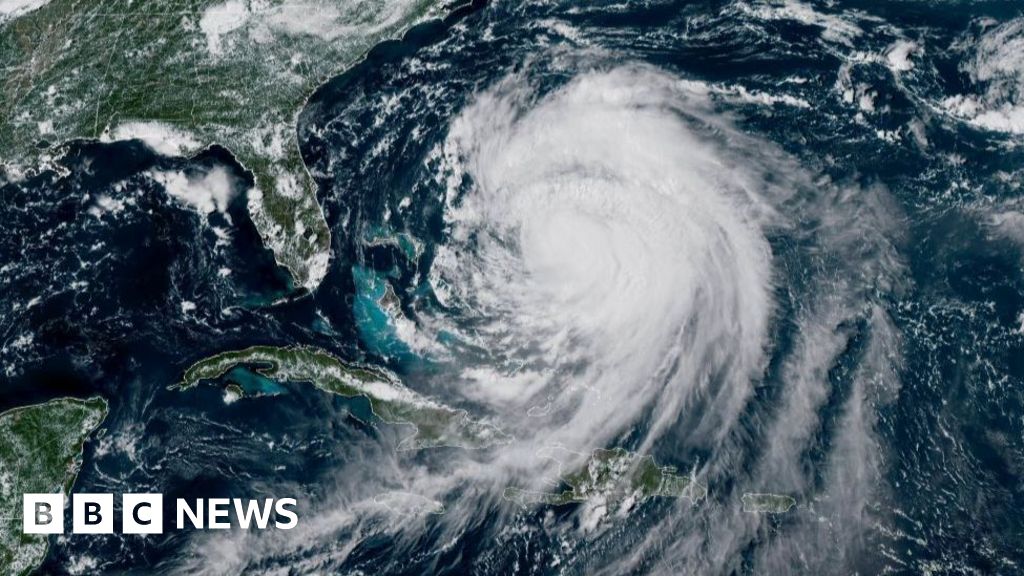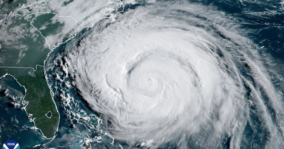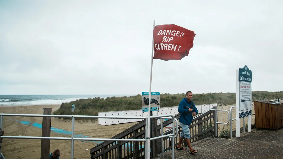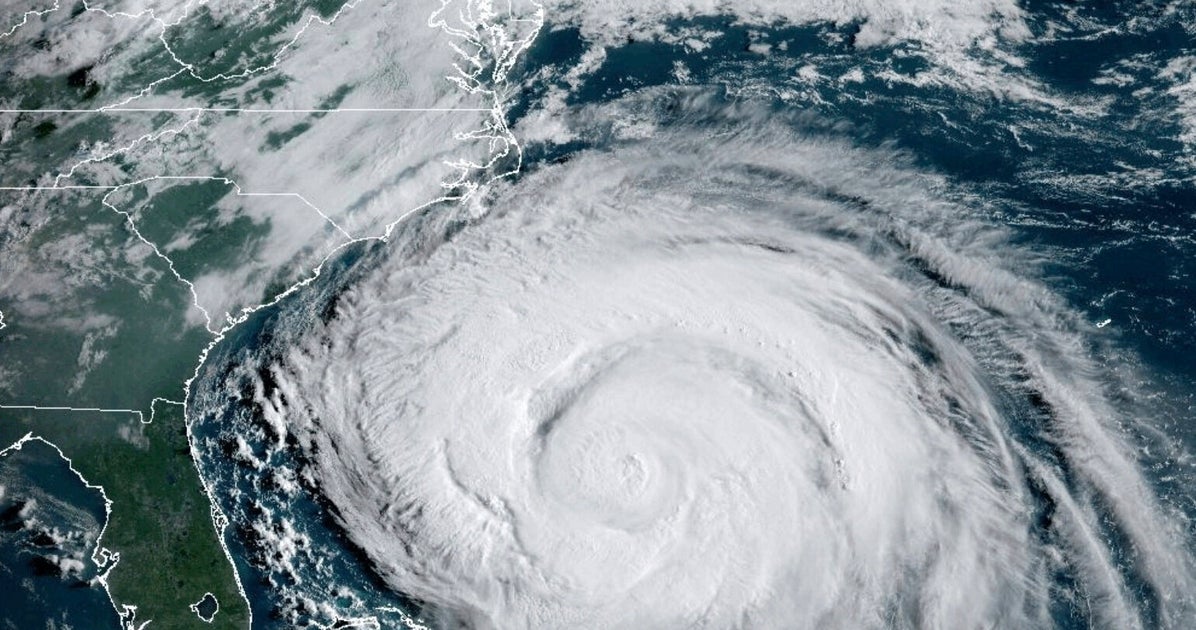
The center of Hurricane Erin will roar past North Carolina’s Outer Banks at a distance of less than 300 miles, setting up a vulnerable region for an intense battering as forecasters warn of two-story waves towering in the ocean and storm surge rushing inland that could destroy dunes, threaten beachfront houses and flood roads.
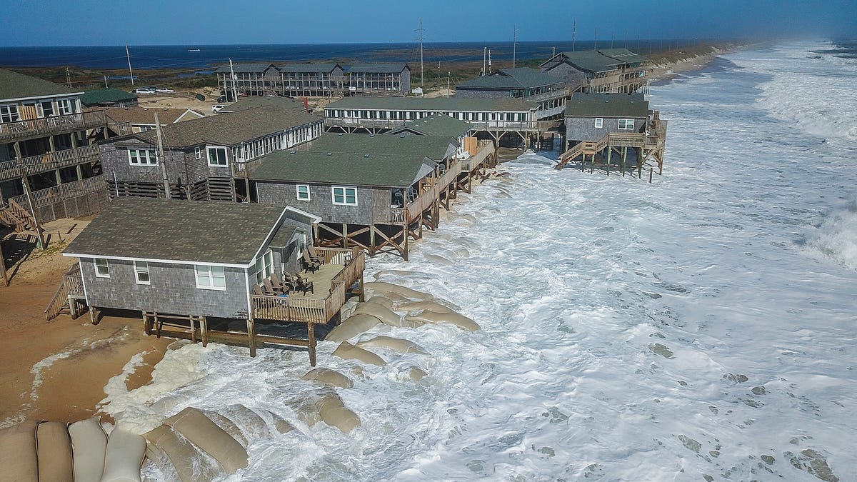
The ribbon of narrow, barrier islands is home to tens of thousands of permanent residents, but its population swells during the summer and more than 2 million people visit the region yearly. The Outer Banks' remote beaches, dunes and oceanfront houses, are among the "most dynamic natural landscapes occupied by man," U.S. Geological Survey scientists wrote in 2016.
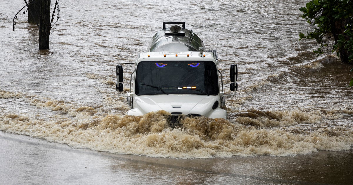
As Erin tracked north, surfers took advantage of the building swells and others evacuated along Highway 12, the sole highway that connects the Outer Banks. Officials warned the road – known to flood even during seasonal high tides – could be impassable for days.
Long popular with beach dwellers and tourists for its scenic vistas and remote ambiance, the Outer Banks have more recently become known for the homes on eroded beaches that collapse into the ocean during hurricanes, winter nor’easters and other tidal events. But islanders say the videos can't convey the enormous complexities of the challenges their communities face.