Elongated area of low pressure likely to bring higher-than-usual levels of rainfall to normally arid region
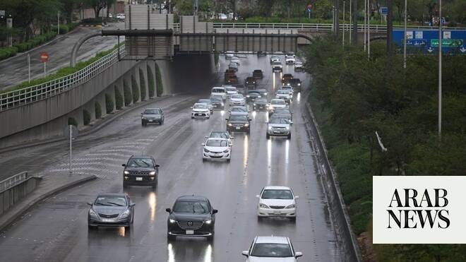
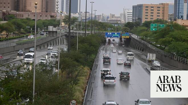
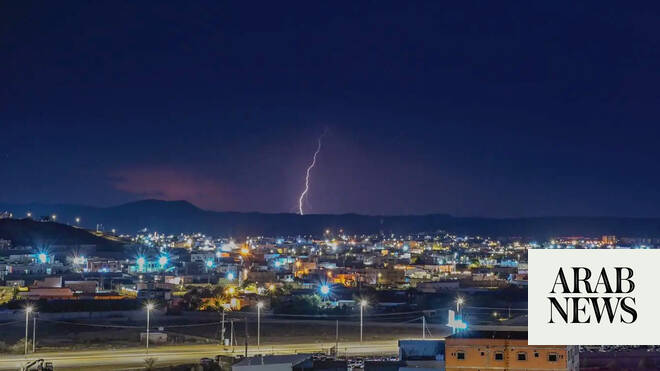
Unusual levels of rainfall are due to hit the southern Arabian peninsula this week, as a tropical wave – an elongated area of low pressure – progresses across the region, triggering a marked increase in convective activity across western Yemen and south-western Saudi Arabia this week. There is a risk of thunderstorms until Wednesday, with forecast rainfall totals reaching about 50mm for Al Hudaydah region in Yemen and the Jazan province of Saudi Arabia.
Although 50mm is not a particularly large rainfall total in most places, in this region it is enormous: Al Hudaydah typically records only 65mm annually, while Jazan averages about 150mm.
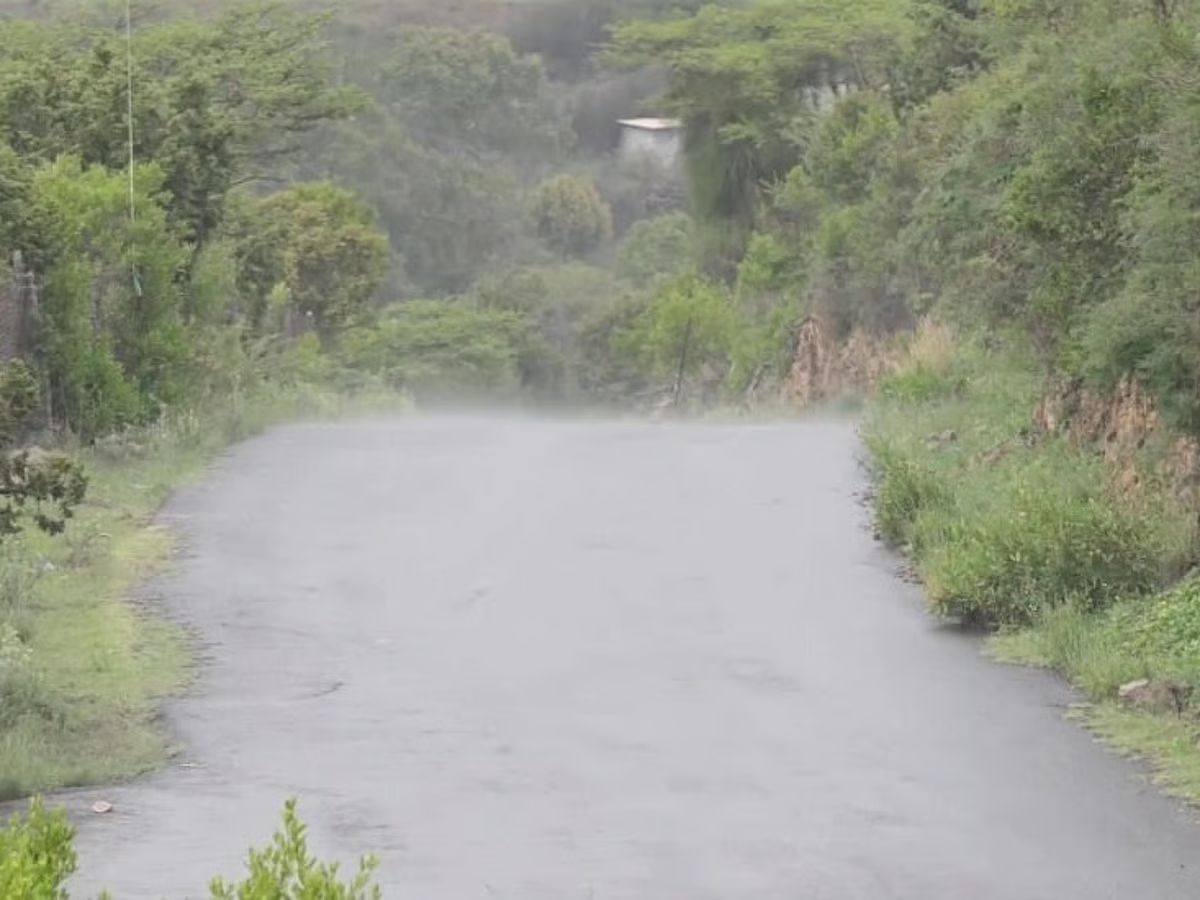
Orographic enhancement – when air rising over mountains or other upland terrain can invigorate or produce areas of heavy rain – along the Red Sea coastal escarpments further amplifies the risk of high rainfall totals here and this, combined with the arid surface conditions, brings a significant risk of flash flooding; runoff from upland rainfall is efficiently channelled into valleys, often toward more densely populated coastal settlements.
Hail and strong outflow winds are likely from these thunderstorms, with the outflow winds potentially producing short-lived but impactful intense dust storms owing to the dry desert terrain, leading to sudden reductions in visibility and localised transport disruption.