HomeAI · summaries
Storia in 3 fonti
Tides can vary by almost a meter across a single bay, four decades of satellite images reveal
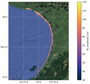
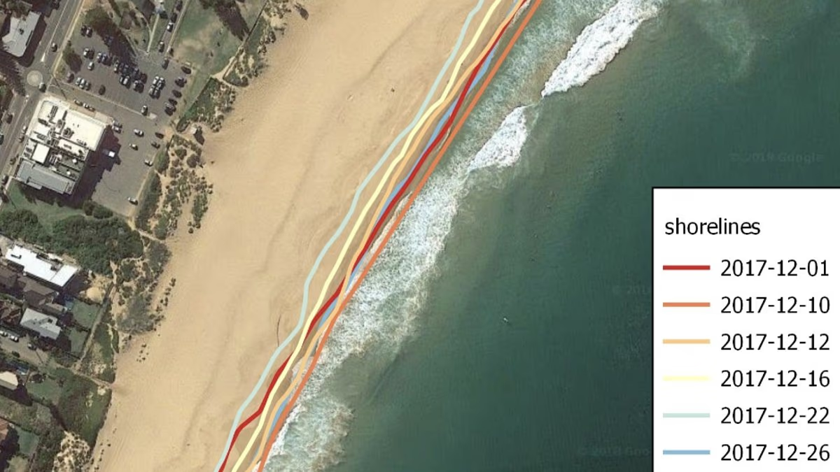
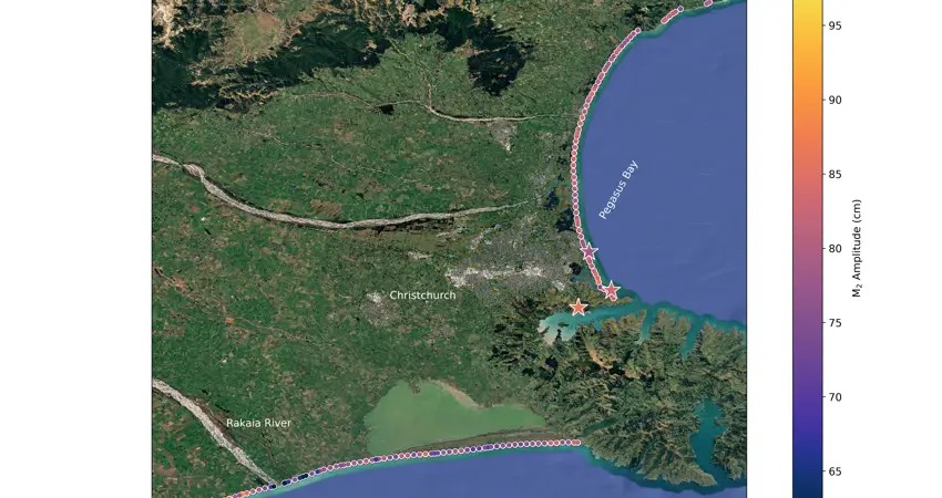
Tide levels can vary by almost a metre across a single bay, according to a new study that uses decades of satellite images to measure tides at the scale of individual beaches. Researchers at Technische Universität München and the University of Oxford have led the development of a new technique that can estimate tides along the coast at intervals of just 100 metres. This provides a level of local detail that is difficult to capture using existing tide gauges and satellite measurements. The study has been published today (25 August) in Nature Communications: Earth and Environment.
Confronto fonti
3 prospettive sulla stessa storiaTimeline cronologica
- ·
dailymail.com
Satellites reveal tides can vary by almost a metre across a single bay
Sea level rises could be even worse than previously thought for some unlucky coastal communities, as scientists uncover a massive difference in local tides.
- ·
eng.ox.ac.uk
Tides can vary by almost a metre across a single bay, four decades of satellite images reveal
New method extracts beach-scale tide measurements from satellite images, revealing significant variations between beaches missed by existing systems.