Home
Storia in 1 fonti
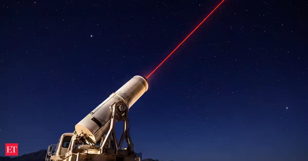
In 1964, NASA first tracked a satellite with lasers; the method later helped measure sea-level rise and ice loss
Discover how NASA's pioneering laser tracking technology, first tested on Beacon Explorer C in 1965, has evolved to measure sea level rise and polar ice loss, providing vital insights into climate change and Earth's dynamics.
Raccontata da economictimes.indiatimes.com