HomeAI · summaries
Storia in 4 fonti
‘Once in five-year’ storm set to hit WA’s coast over long weekend
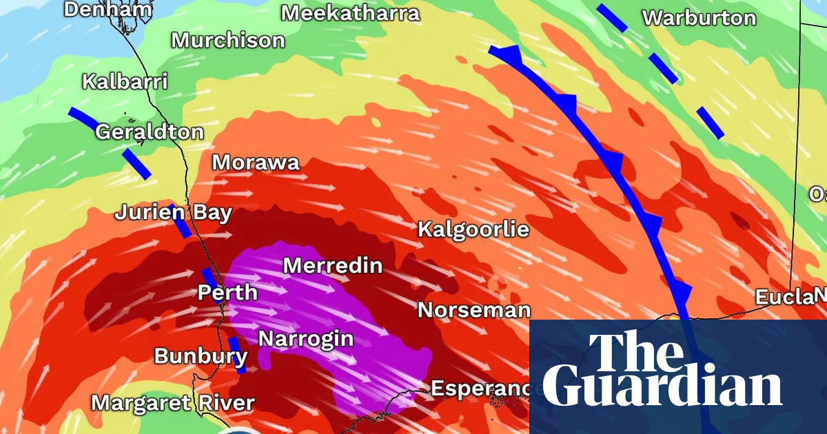
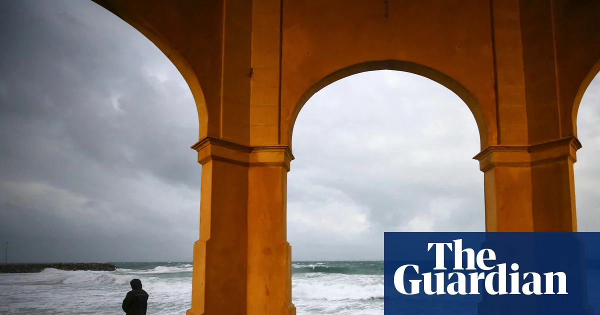
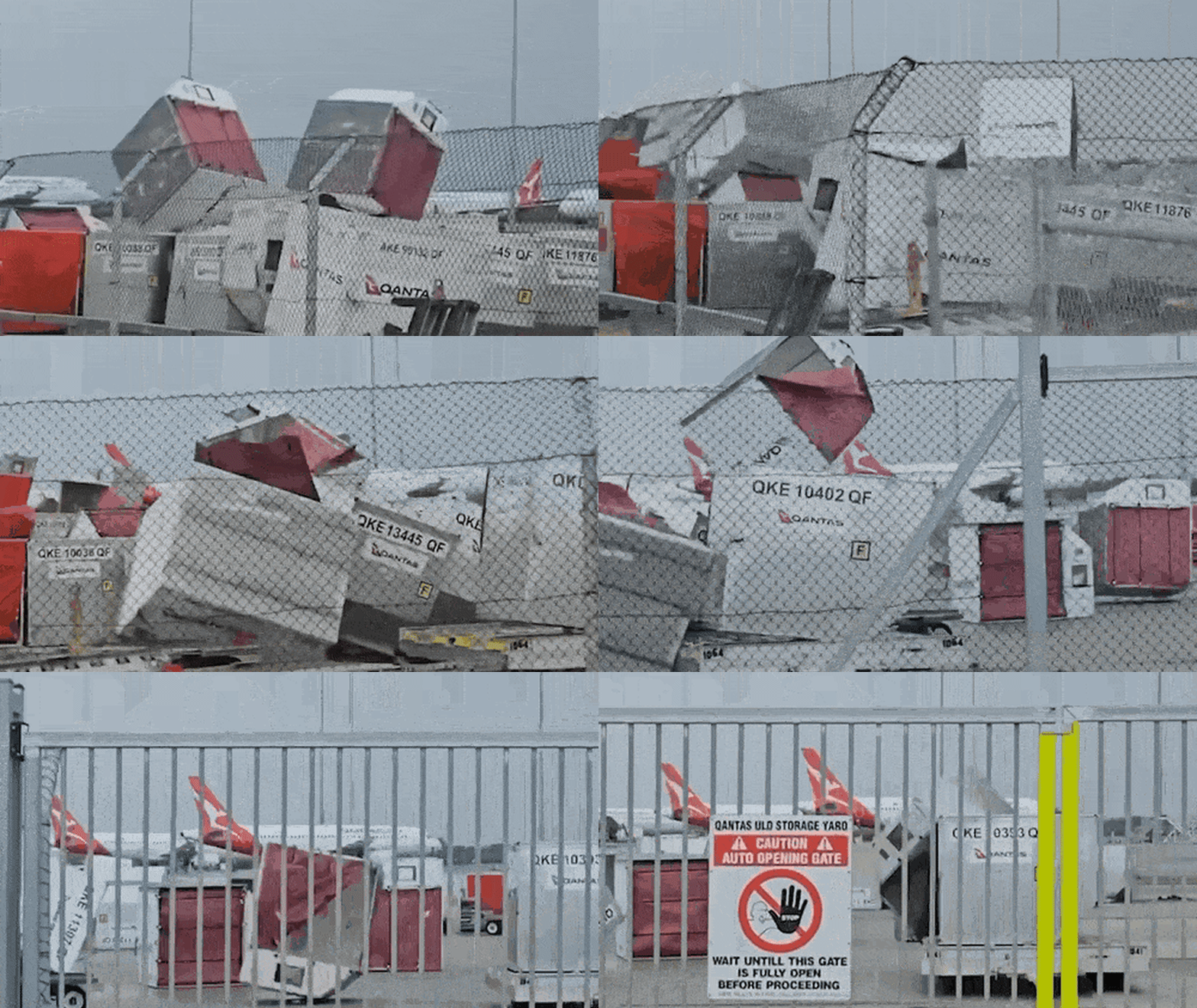
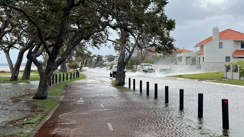
The Bureau of Meteorology is warning the “deep low” system will begin impacting west-facing towns as far north as Geraldton as of Saturday evening, before moving down the coast and smashing parts of Lancelin and heading towards the state’s south west.
Confronto fonti
4 prospettive sulla stessa storiaTimeline cronologica
- ·
smh.com.au
‘Once in five-year’ storm set to hit WA’s coast over long weekend
The Bureau of Meteorology is warning the “deep low” system will begin impacting west-facing towns as far north as Geraldton as of Saturday evening, before moving down the coast…
- ·
theage.com.au
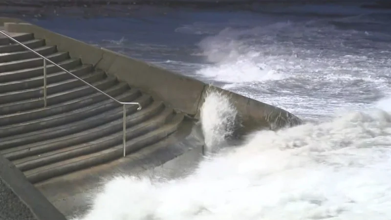
WA bracing for 'once in five-year' storm
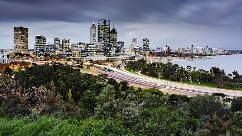
Perth and the South West are set to be pummelled by "tornado-strength" wind gusts and dangerous swells in "once in five-year" storm.