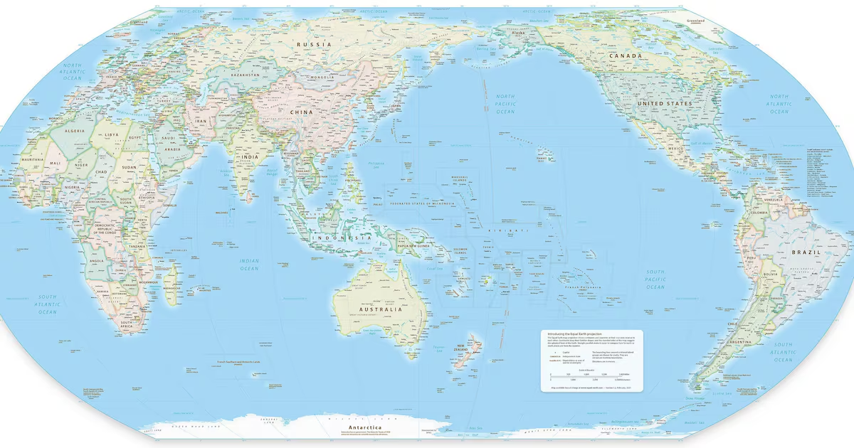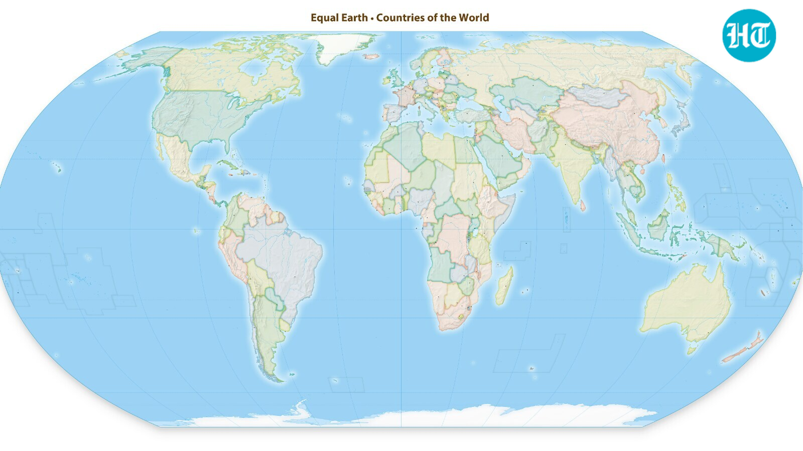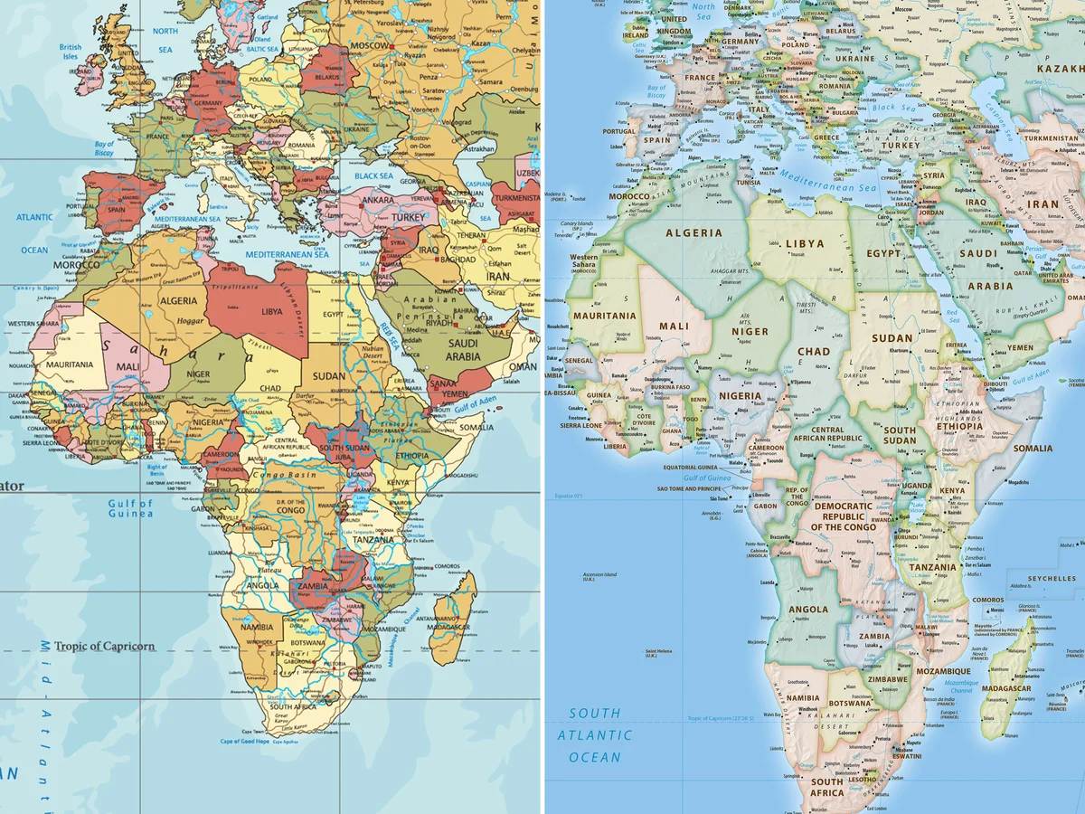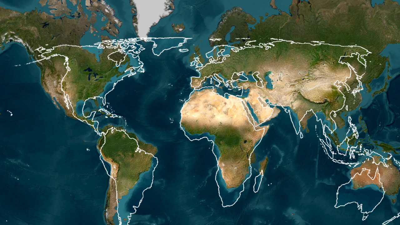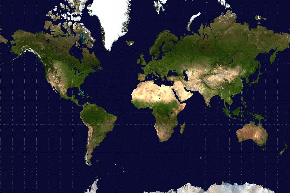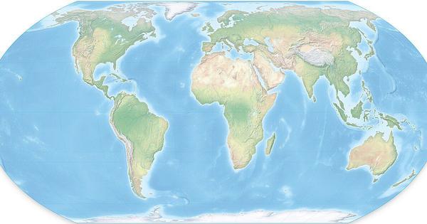
On Friday, the UN General Assembly voted to adopt a new world map that accurately depicts Africa’s size. Togo introduced the resolution. It sought to replace the age-old Mercator map with the Equal Earth projection, which is considered more accurate.
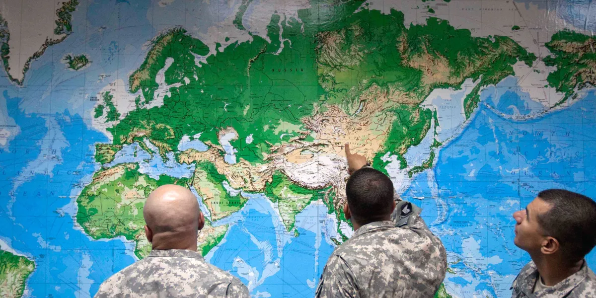
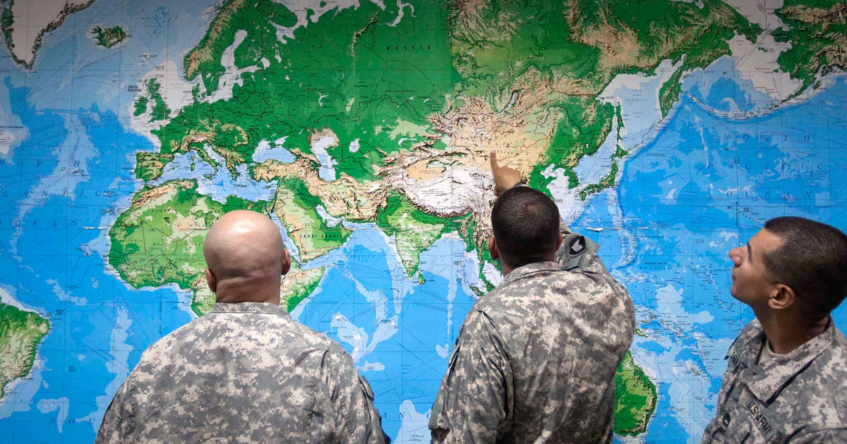
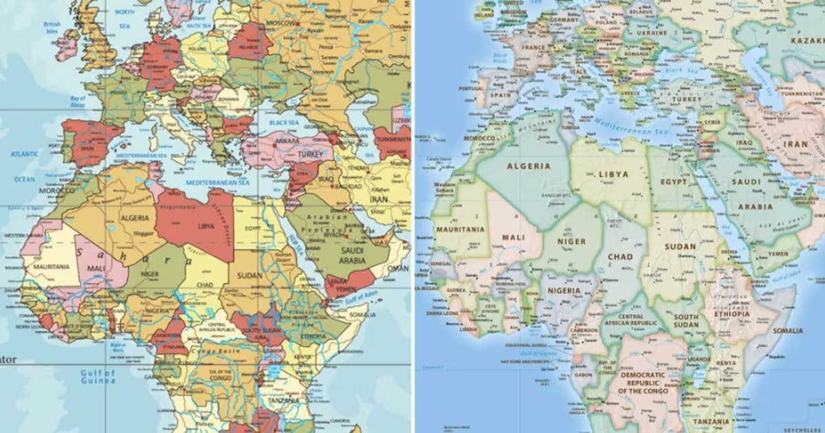
The traditional Mercator map is inaccurate not only in its depictions of Africa and other regions close to the equator — the imaginary line that circles the Earth halfway and divides the North and South poles — but also in its exaggeration of the size of countries and regions farther from the equator.
As cartography Professor James Cheshire at University College London puts it, the Mercator projection was created in 1659 to help European sailors navigate the oceans. “That was what it was intended to do, and that’s what it does brilliantly well,” he told the BBC.
But it carries a colonial legacy and reinforces a long-standing Eurocentric hierarchy of global importance.
Yet on Friday, the US voted against adopting the modern, more accurate equal-earth projector.