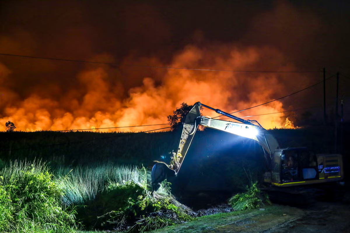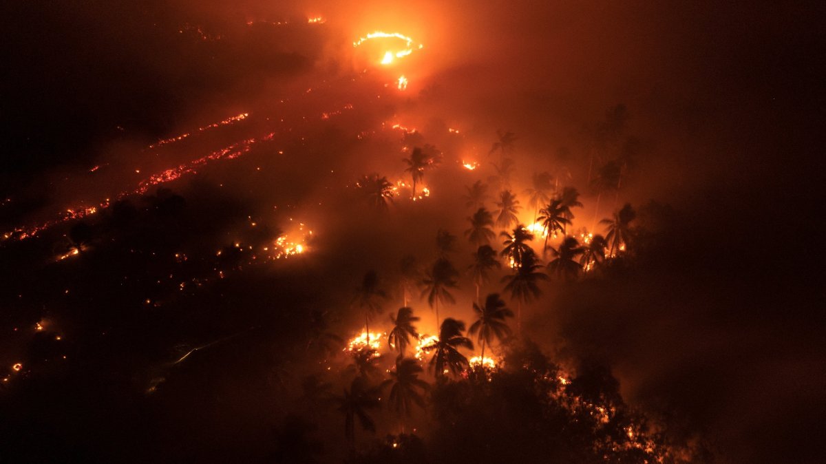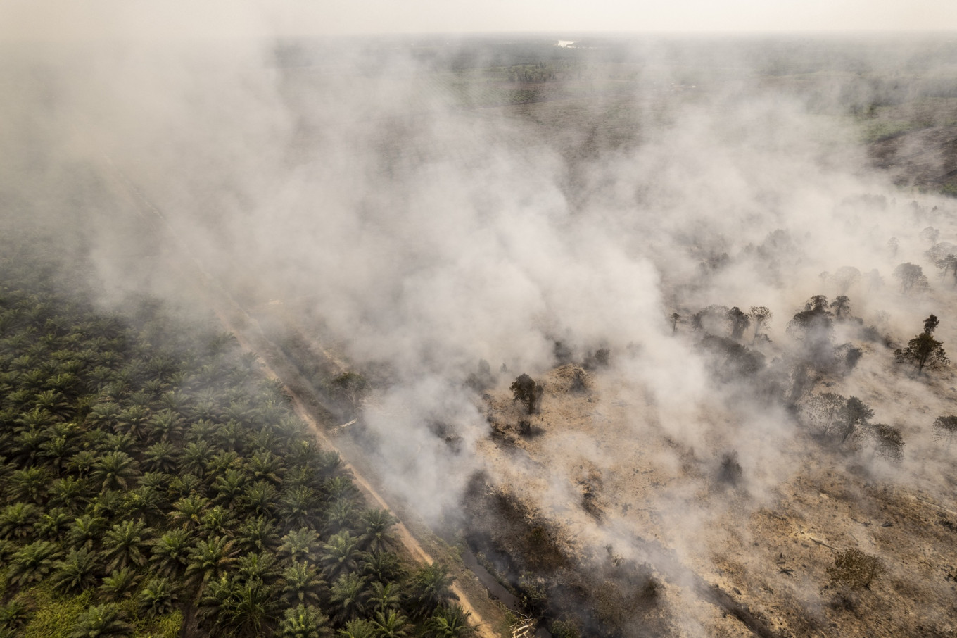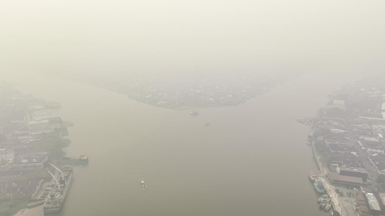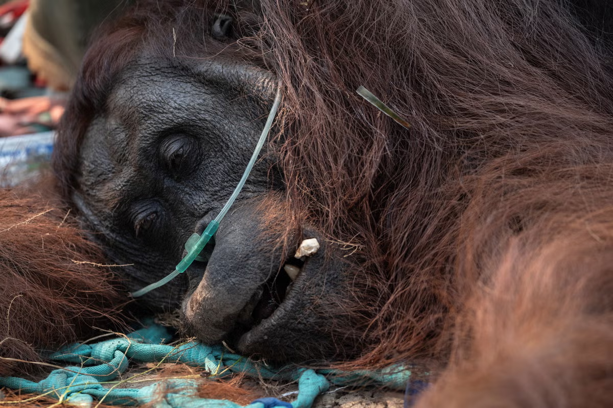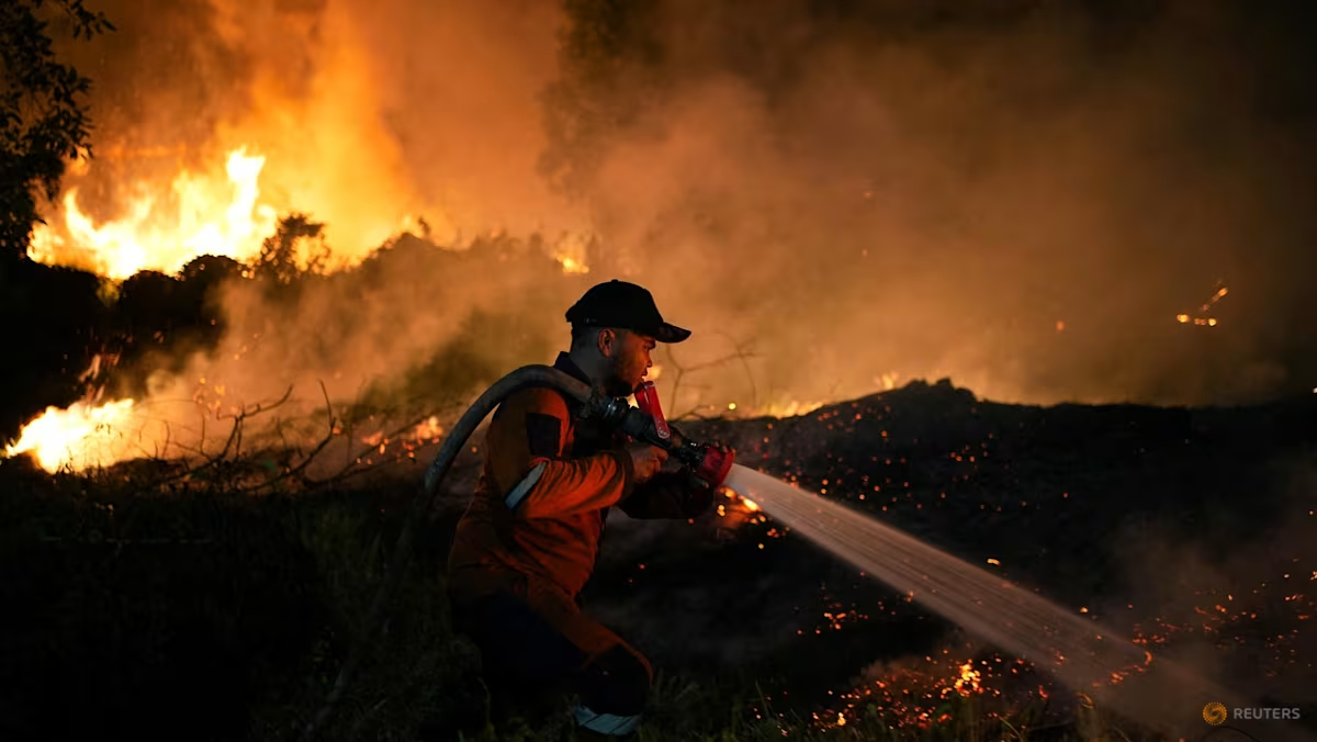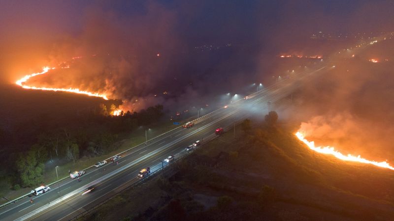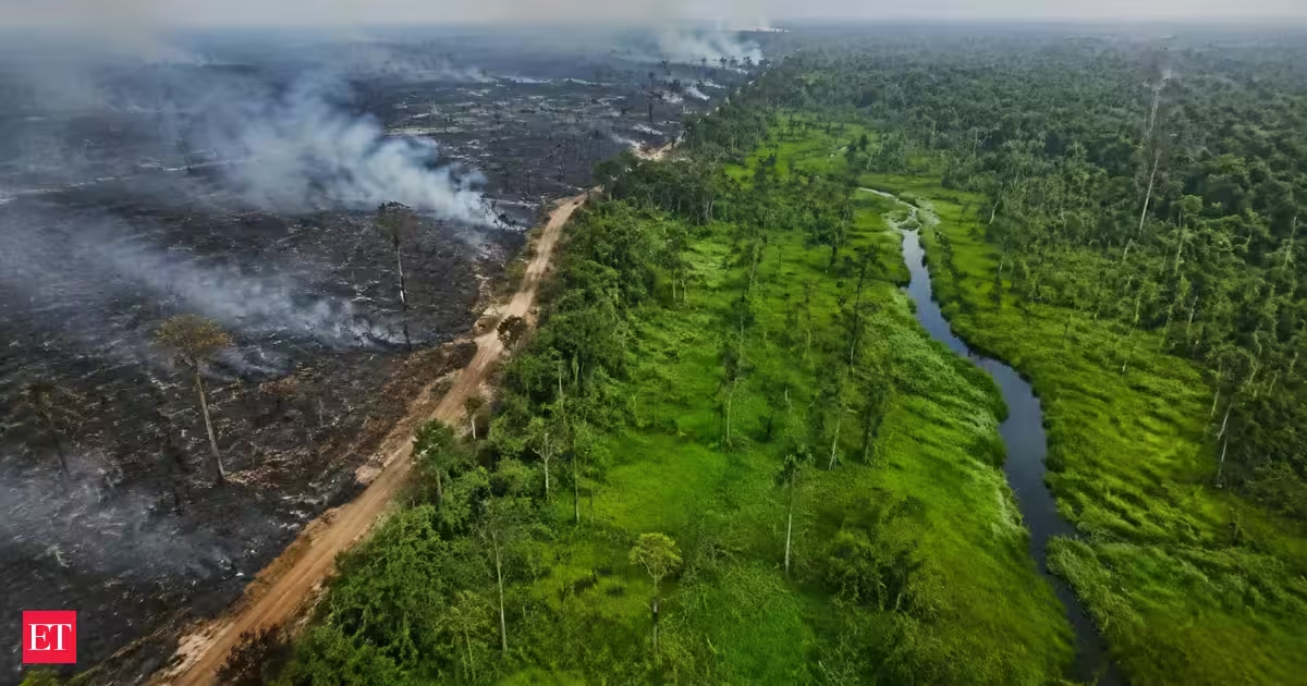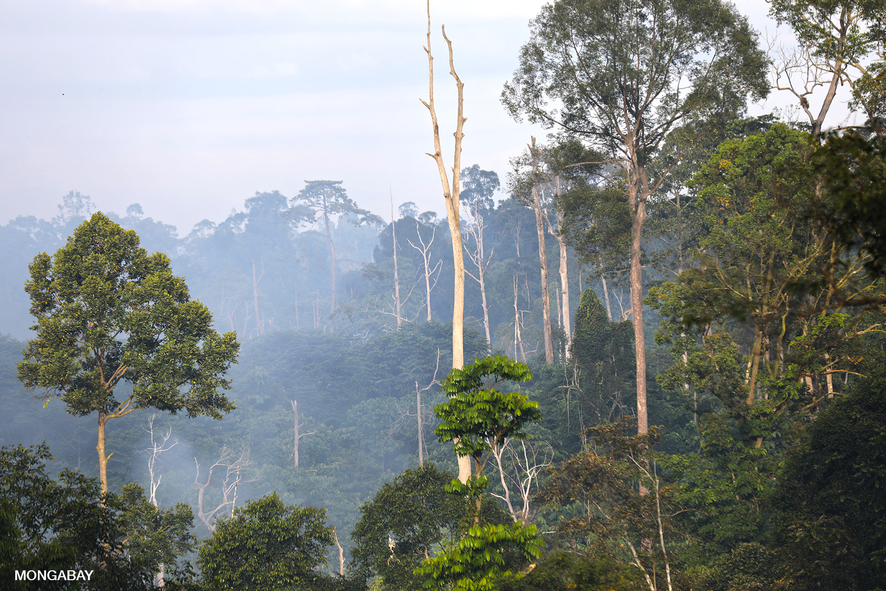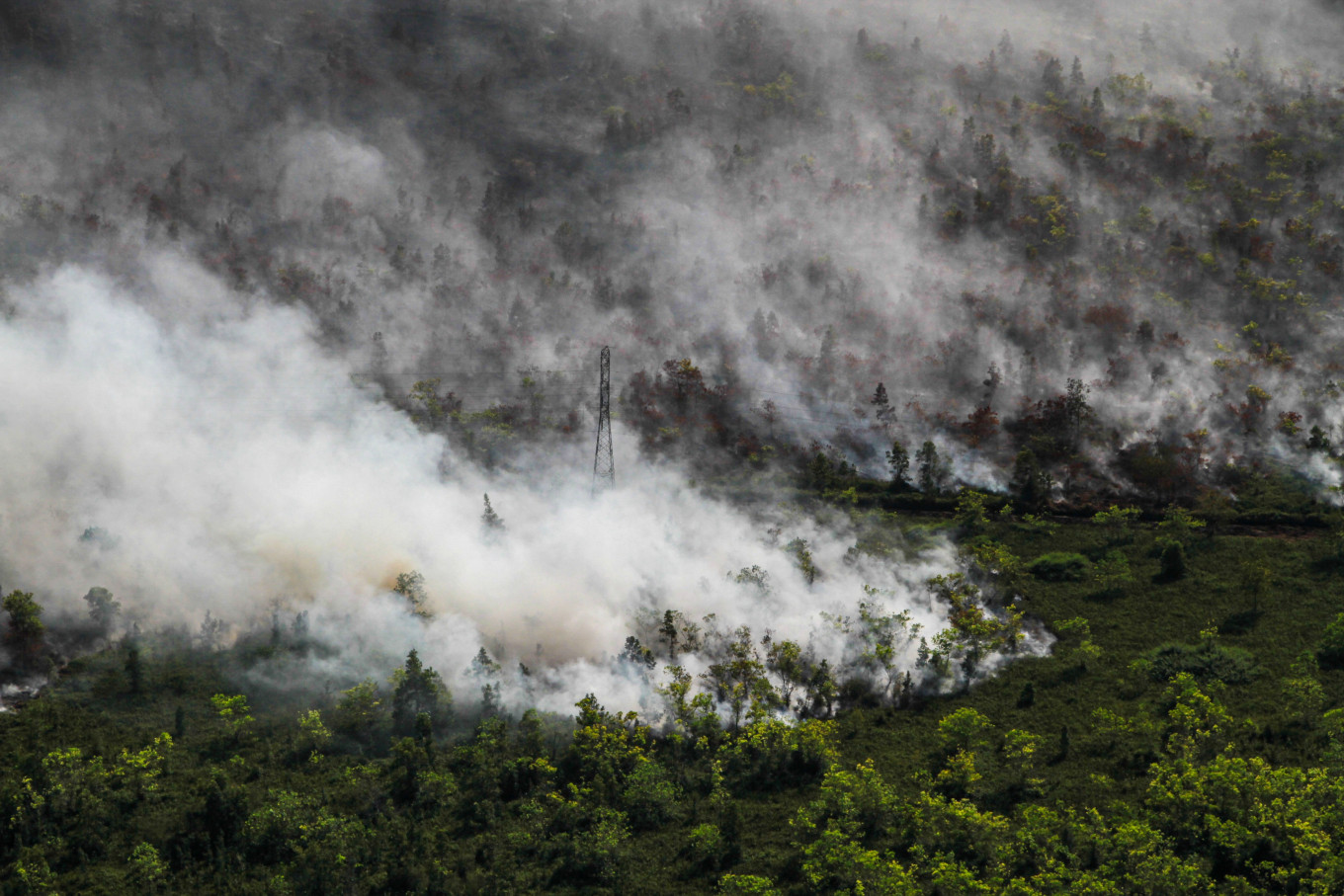
Tropical peatland fires rank among the most dangerous and stubborn fires on Earth. Instead of racing through trees and vegetation, these fires smolder through dried wetland soils and large deposits of peat, often continuing underground at relatively low temperatures. That makes them extremely difficult to extinguish and exceptionally polluting.
By one estimate, peat fires produce three times more fine particulate matter than other tropical forest fires, along with five times more sulfur dioxide, three times more organic carbon, and twice as much methane and carbon monoxide.
Satellite Images Reveal Indonesia's Fire Season
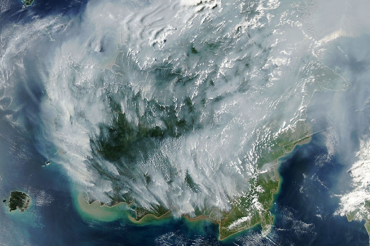
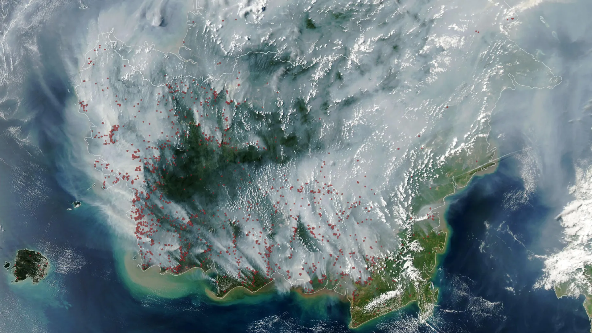
Indonesia's 2026 fire season was already underway when the MODIS (Moderate Resolution Imaging Spectroradiometer) instrument aboard NASA's Aqua satellite captured an image of the region on September 1, 2026.
On the annotated map, each red dot represents a "fire detection." This means the satellite sensor and an algorithm identified a pixel containing thermal anomalies associated with fire. A single fire can produce multiple detections.