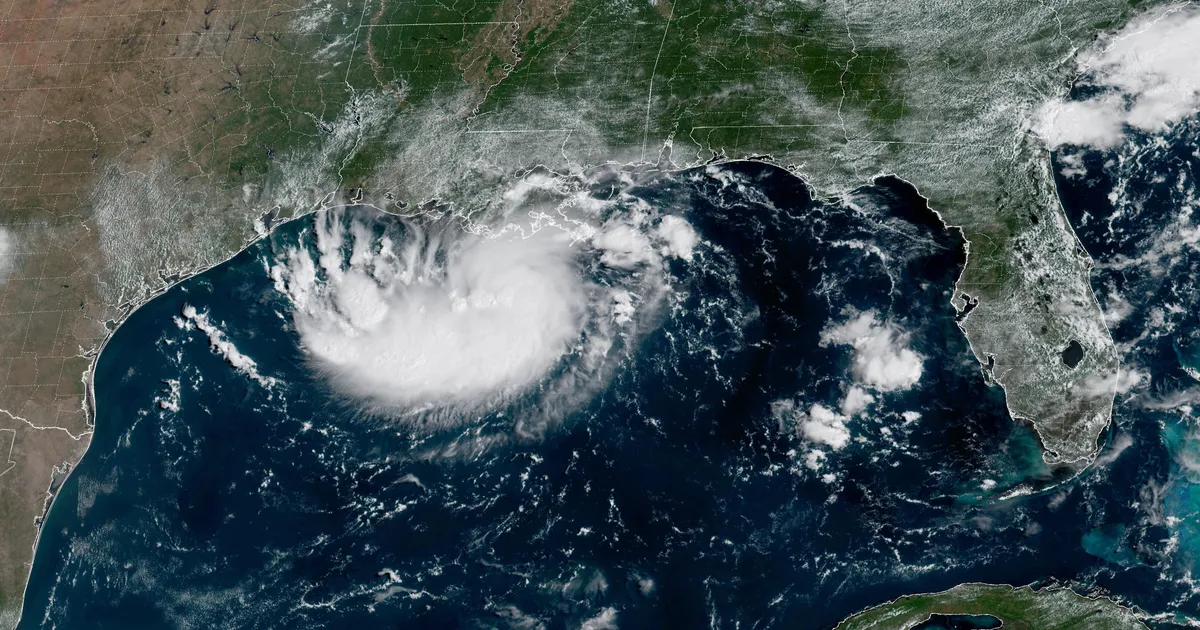
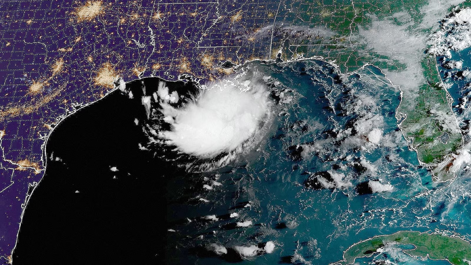
Enhanced infrared satellite image of Tropical Depression Edouard over eastern Texas at 1410Z (9:10 a.m. CDT) Wednesday, September 2, 2026. (Image credit: RAMMB/CIRA/CSU)
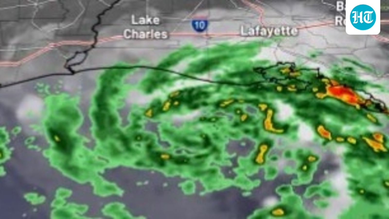
Tuesday’s landfall of short-lived Tropical Storm Edouard on the southeast Texas coast may have seemed as mercifully benign as it gets, but its rains have ended up causing more trouble than expected well inland. Although the National Weather Service National Hurricane Center has ceased advisories on Edouard, a corridor of intense rains was causing locally catastrophic flooding.
Edouard was drifting northward as a depression at midday Wednesday with top sustained winds of 35 mph. The NWS Weather Prediction Center alerted residents in a broad swath from roughly Houston and Beaumont-Port Arthur to Dallas-Fort Worth of the risk of flash flooding on Wednesday, with a top-end threat at the center of this swath over parts of far east Texas. Additional major flash flooding could erupt on Wednesday afternoon and evening as Edouard crawls northward. The towns of Kountze, Village Mills, and Honey Island were placed in a flash flood emergency around dawn on Wednesday.
Edouard continues to produce prolific rainfall across southeastern TX this morning as it slowly moves northward. Widespread damaging and potentially catastrophic flooding is possible with a HIGH risk of flooding in effect. #TurnAroundDontDrownweather.gov— National Weather Service (@nws.noaa.gov) 2026-09-02T14:57:15.526Z