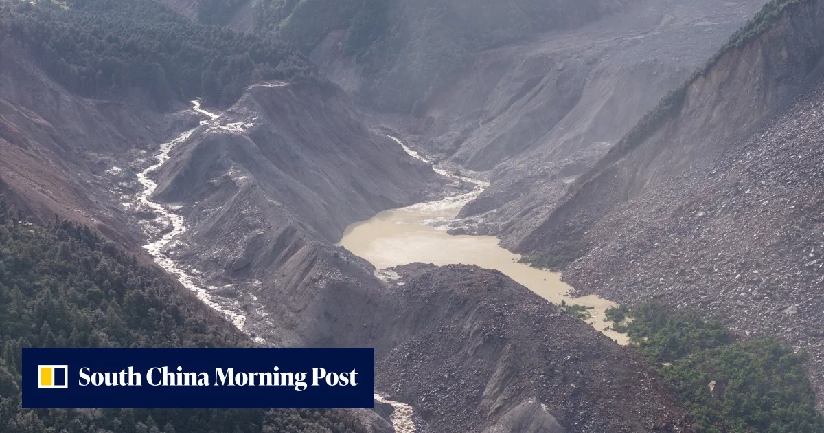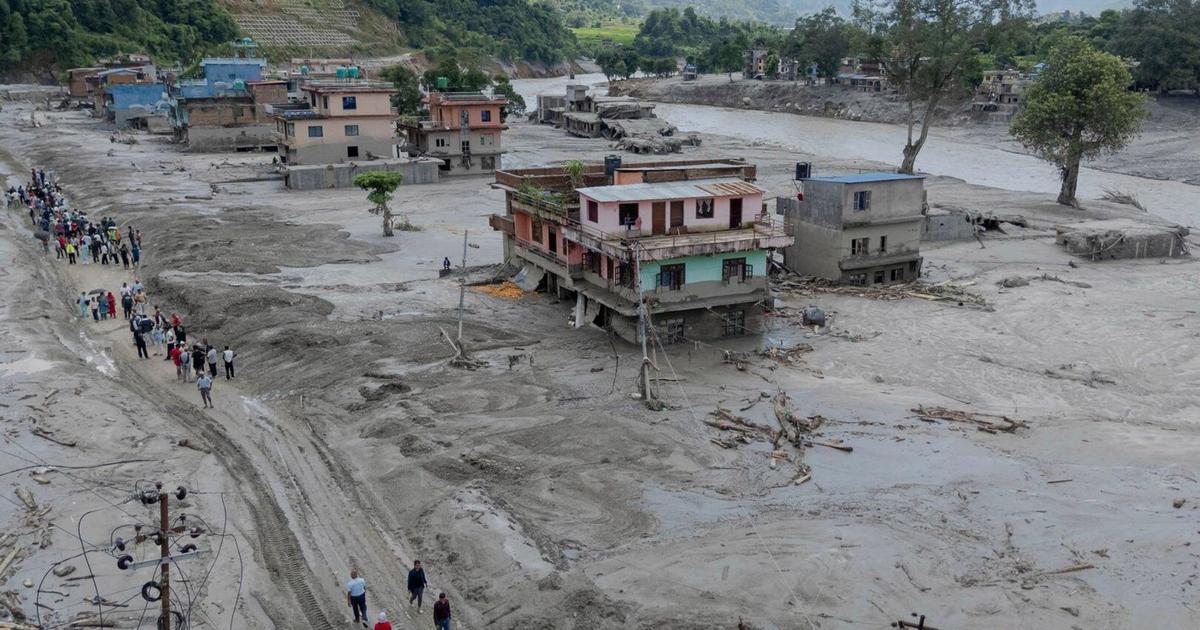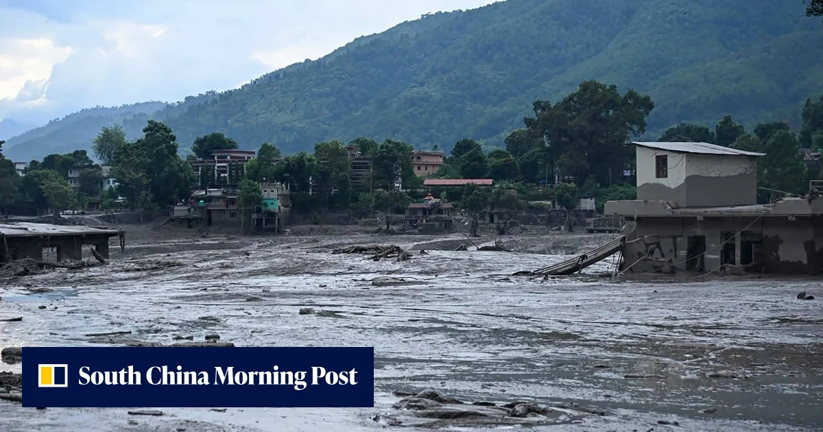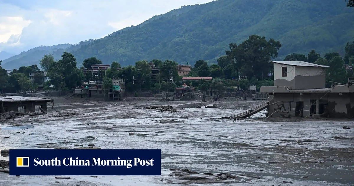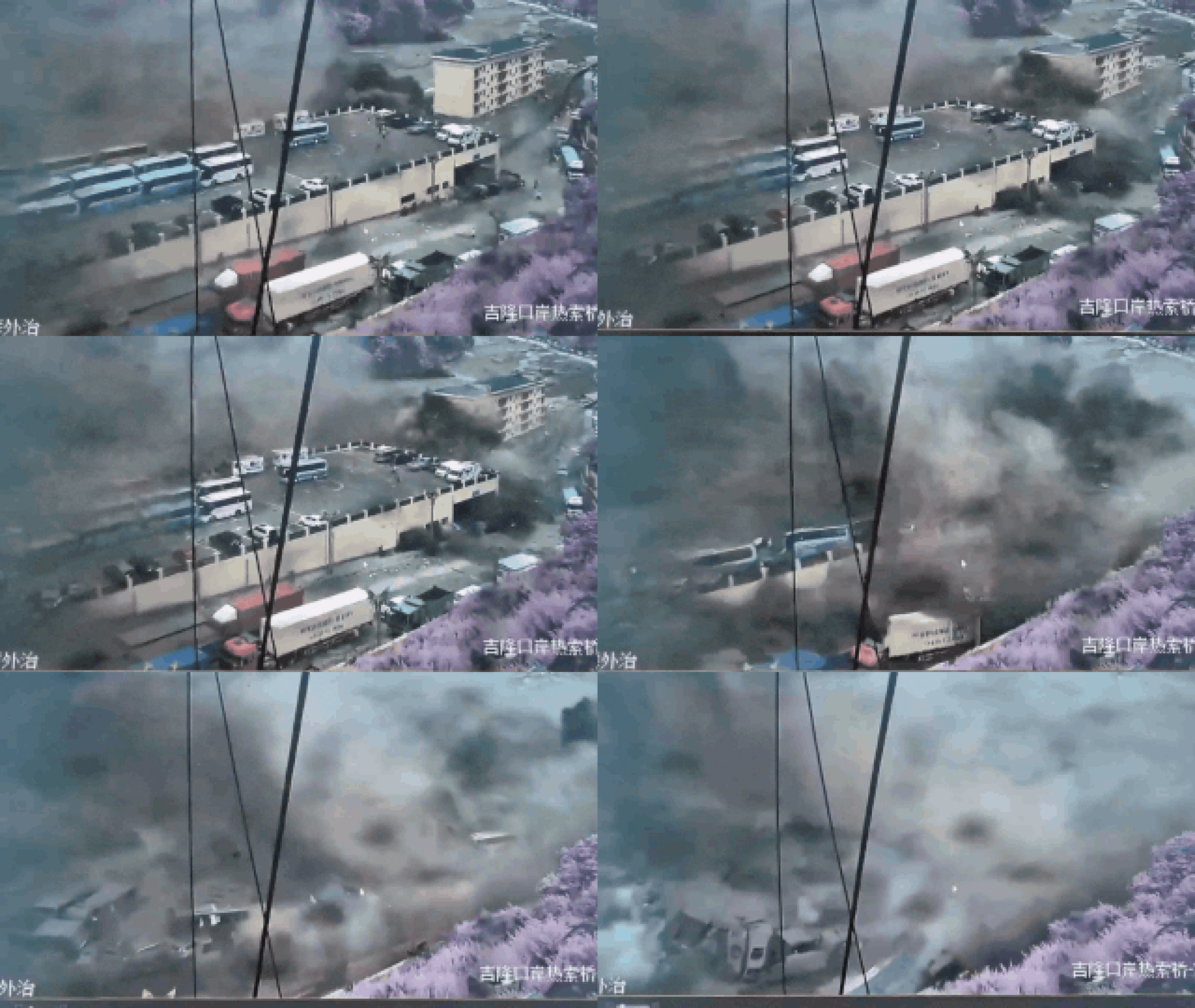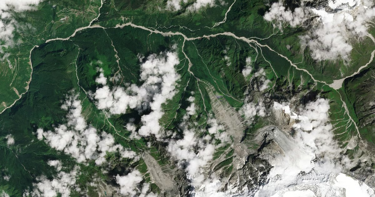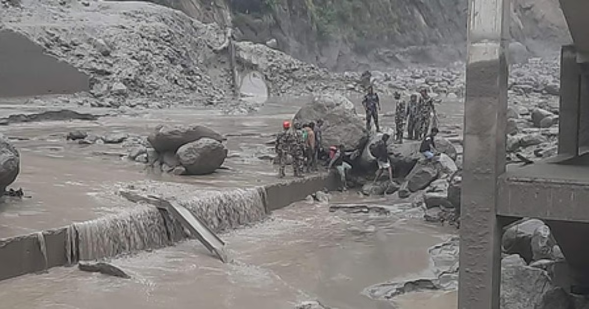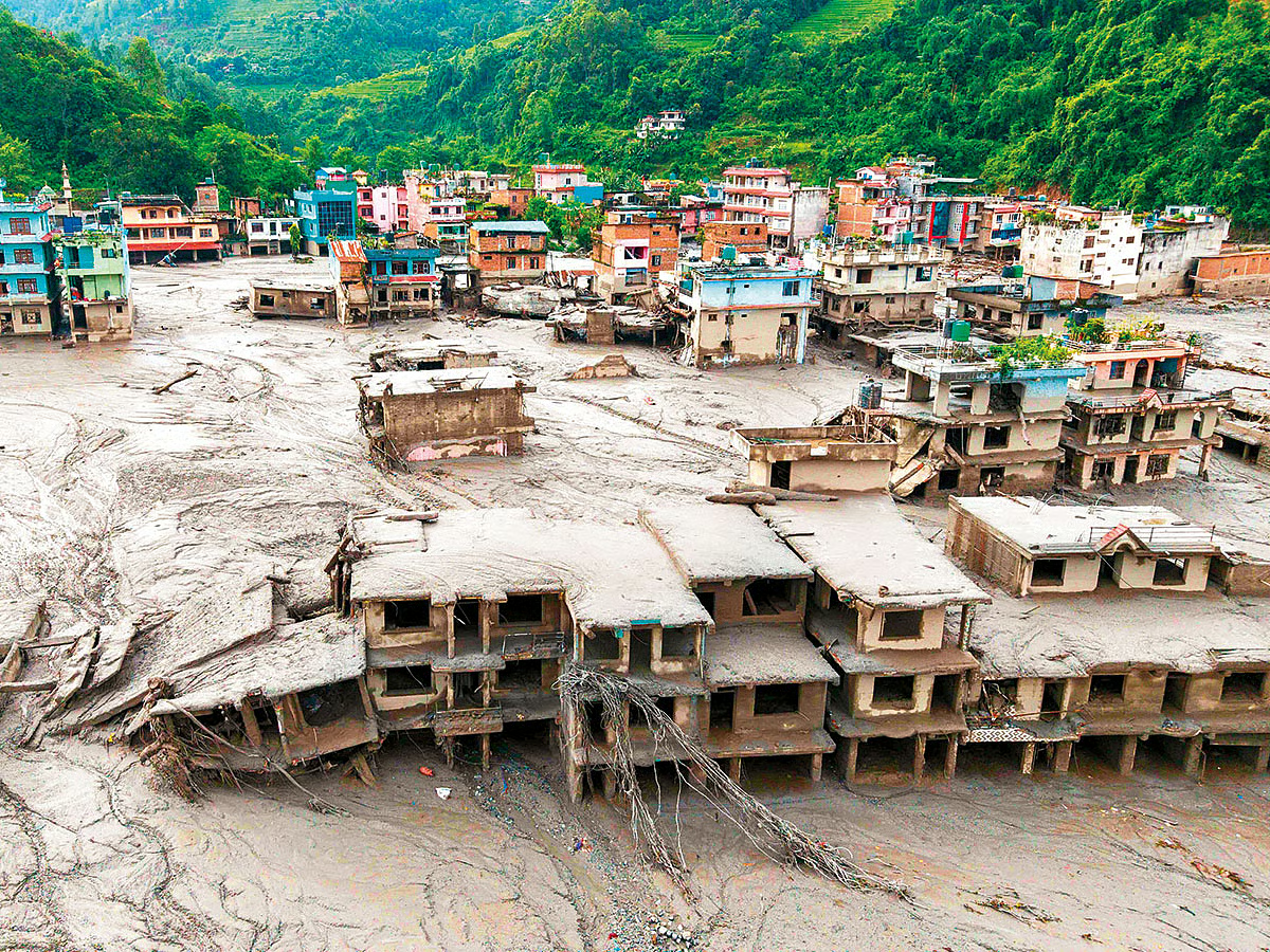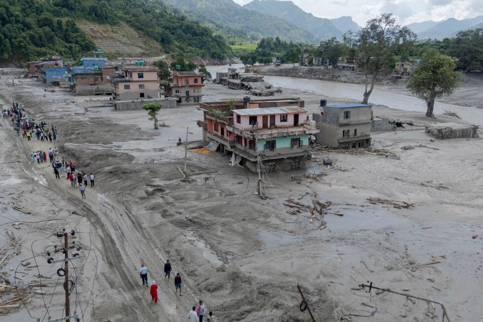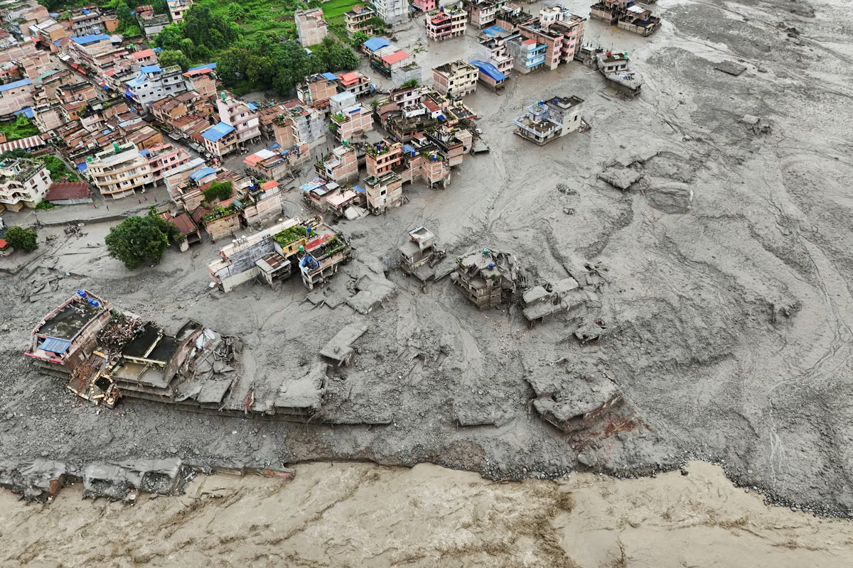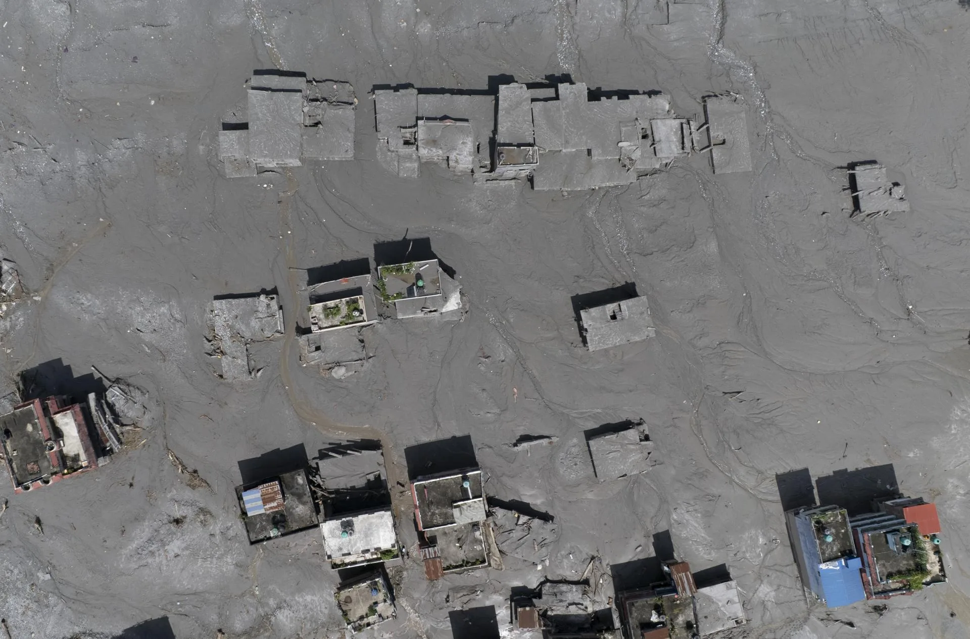
The death toll from catastrophic flash floods and mudslides at the Gyirong Port border crossing between China and Nepal continued to rise on Friday, as satellite images revealed the full scale of the destruction.As of Friday morning, three people were confirmed dead and 558 missing on the Chinese side of the border, with 469 dead and at least 644 missing in Nepal.Composite satellite images show the extent of the devastation at the China-Nepal border and checkpoint after flash floods and landslides hit the area on Wednesday. Photo: AFPThe tragedy unfolded on Wednesday morning when a massive Himalayan landslide triggered a fast-moving debris flow that swept down from the border area, leaving widespread devastation in its wake.According to state broadcaster CCTV, the torrent was travelling at up to 200km/h (124mph) and generated a wall of water as high as 15 metres (50 feet) when it slammed into the checkpoint.Satellite images released on Thursday by state news agency Xinhua showed extensive mud and debris burying the checkpoint at Gyirong county in Shigatse city and its surrounding residential areas.04:12Timeline of the China-Nepal border disasterThe Nepal-China Friendship Bridge was washed away, while large deposits of silt altered the river channel and surrounding terrain, obscuring roads and parts of original structures.
China-Nepal disaster death toll nears 500 as lake overflow threatens rescue work
Casualties mount as frantic hunt for survivors continues and barrier lakes formed by the debris torrent risk breaching.
206 words~1 min read