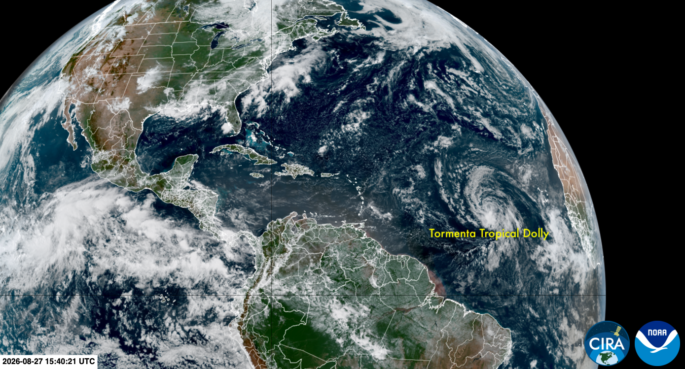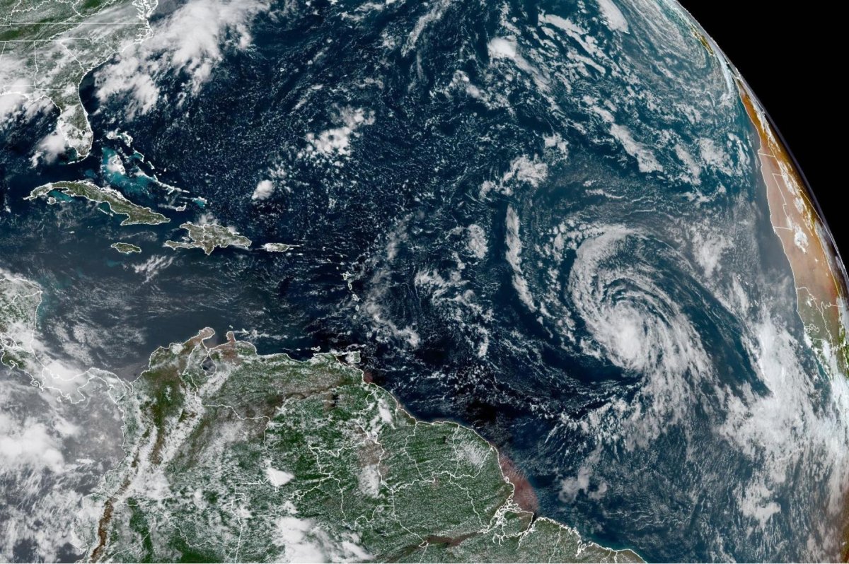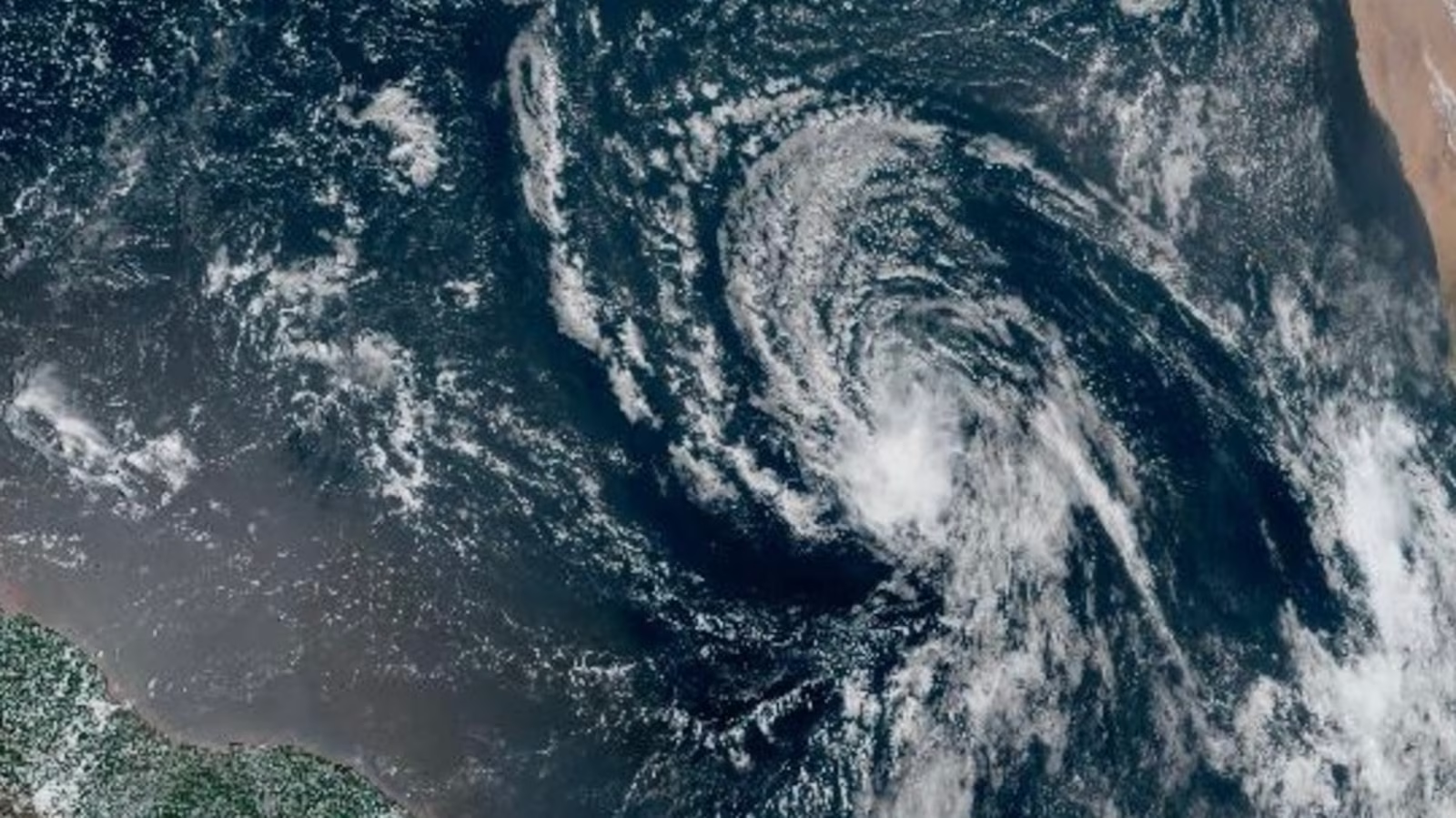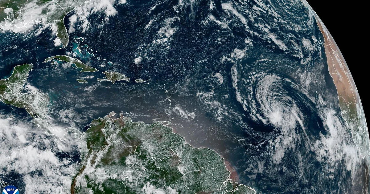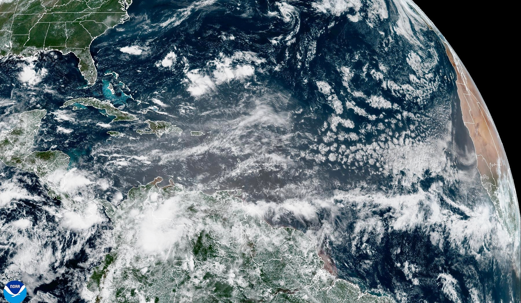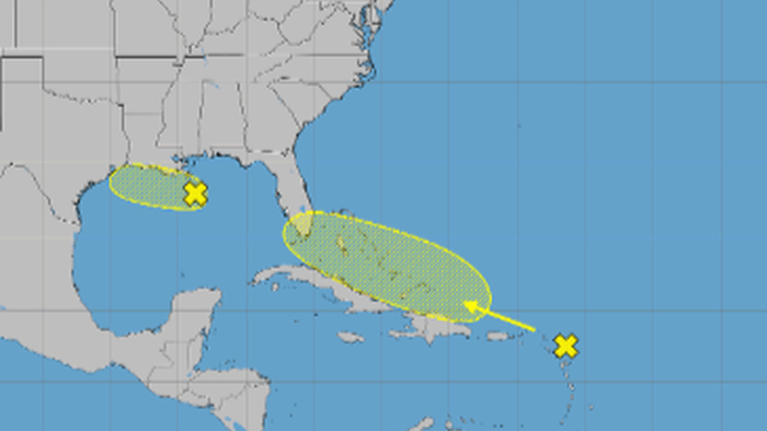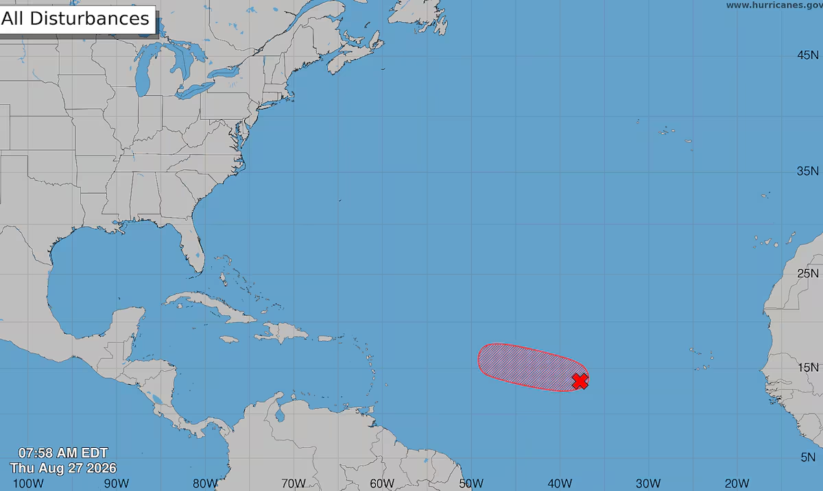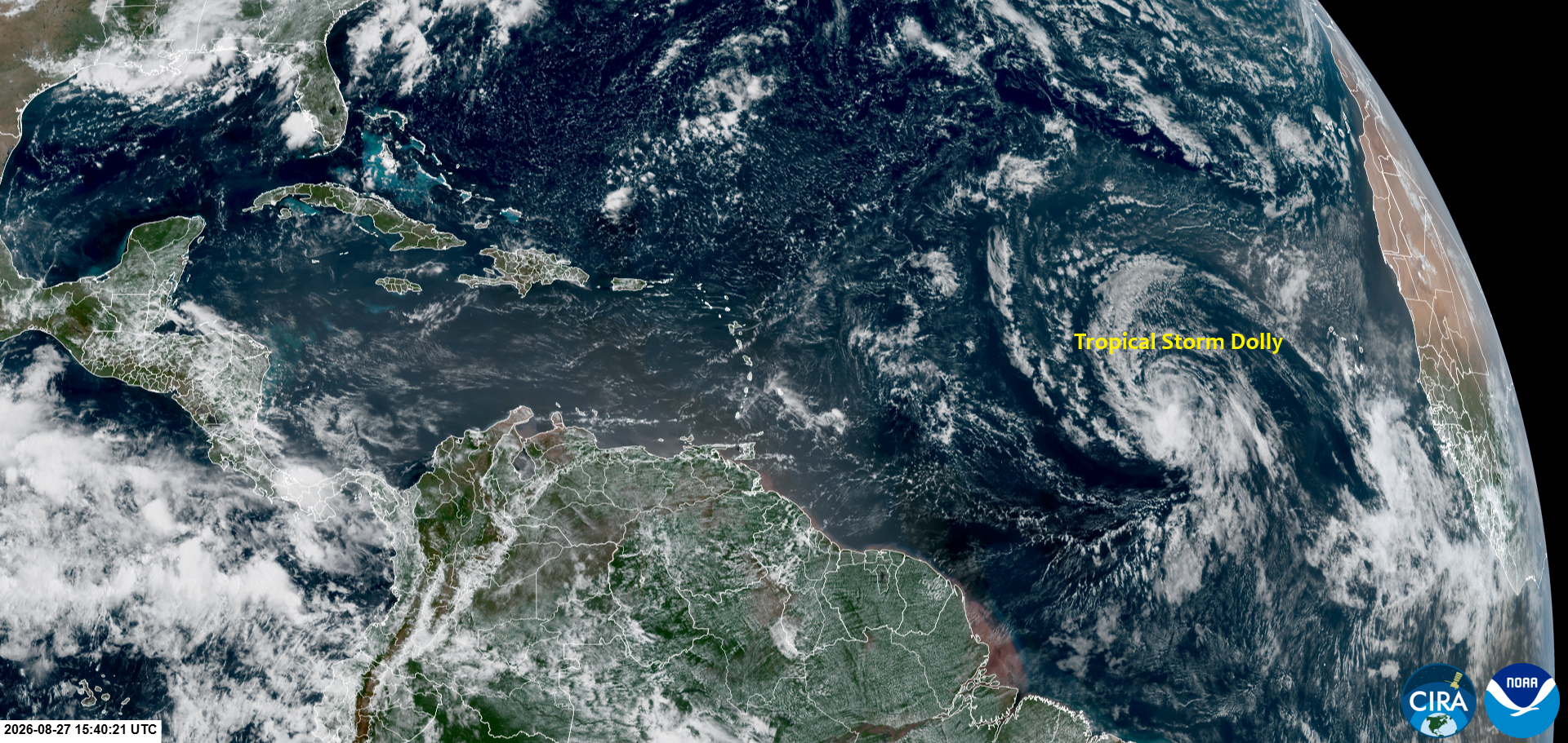
Tropical Storm Dolly formed in the tropical Atlantic on Thursday morning. After reviewing satellite imagery of Invest 96L, the National Hurricane Center determined that the system had developed a well-defined center of circulation on Thursday morning and had acquired tropical characteristics, with maximum sustained winds of at least 40 mph (65 km/h). Dolly is expected to continue moving quickly toward the west through the rest of this week. The naming of Tropical Storm Dolly so recently after the death of famed country singer Dolly Parton is purely coincidental; the name Dolly has been on the 6-year rotating list of Atlantic storms since 1996, and this is the 10th appearance of a storm named Dolly in the Atlantic (dating way back to 1953).
The Bermuda High is strong enough, and its southern periphery extends far enough south, to keep Dolly moving on a mainly west-northwest track during the next three days. The forecast cone extends out 72 hours instead of the usual 120 hours, suggesting that Tropical Storm Dolly is likely to be an open tropical wave just before reaching Puerto Rico.
Figure 1. The National Hurricane Center’s official track for Tropical Storm Dolly issued on Thursday at 11 a.m. EDT. (Image credit: NHC)