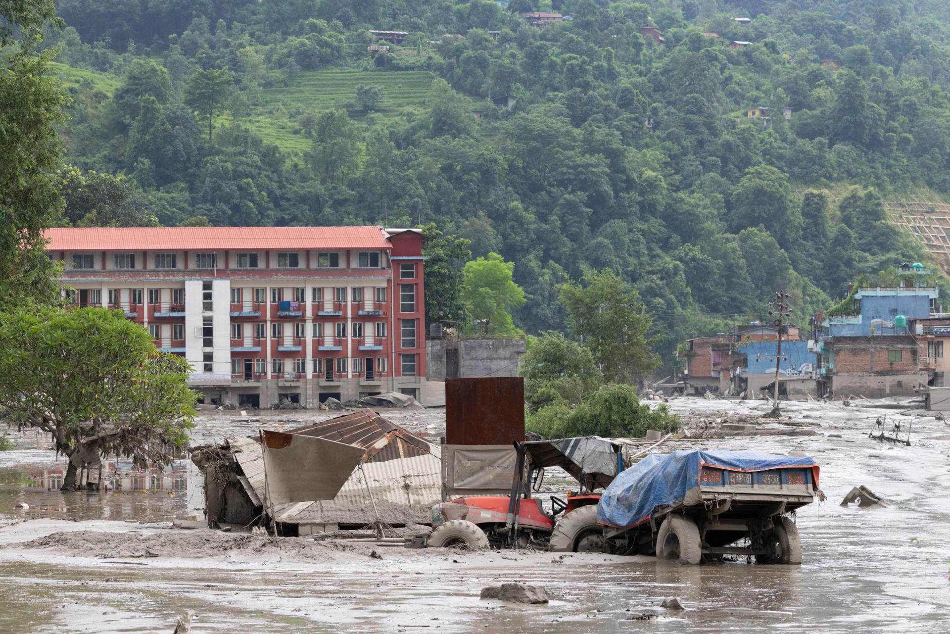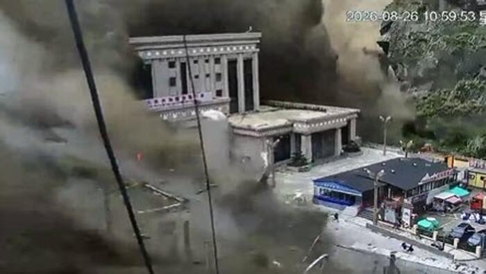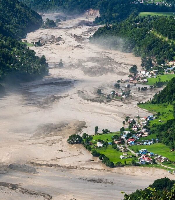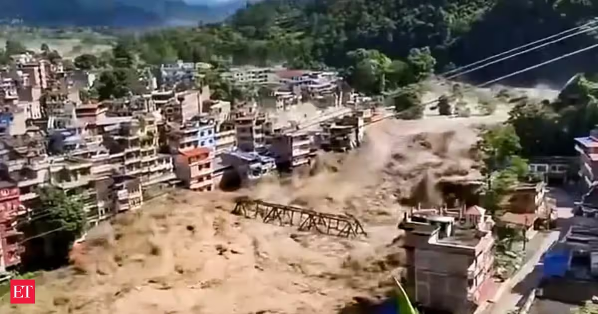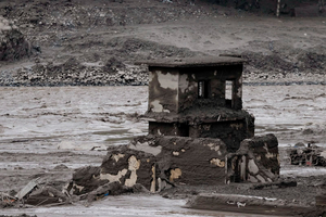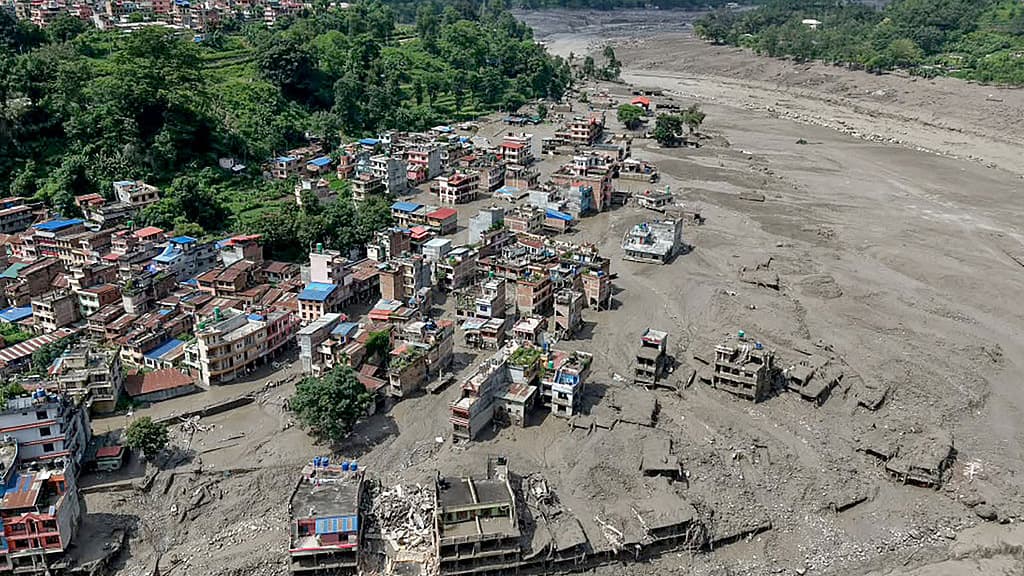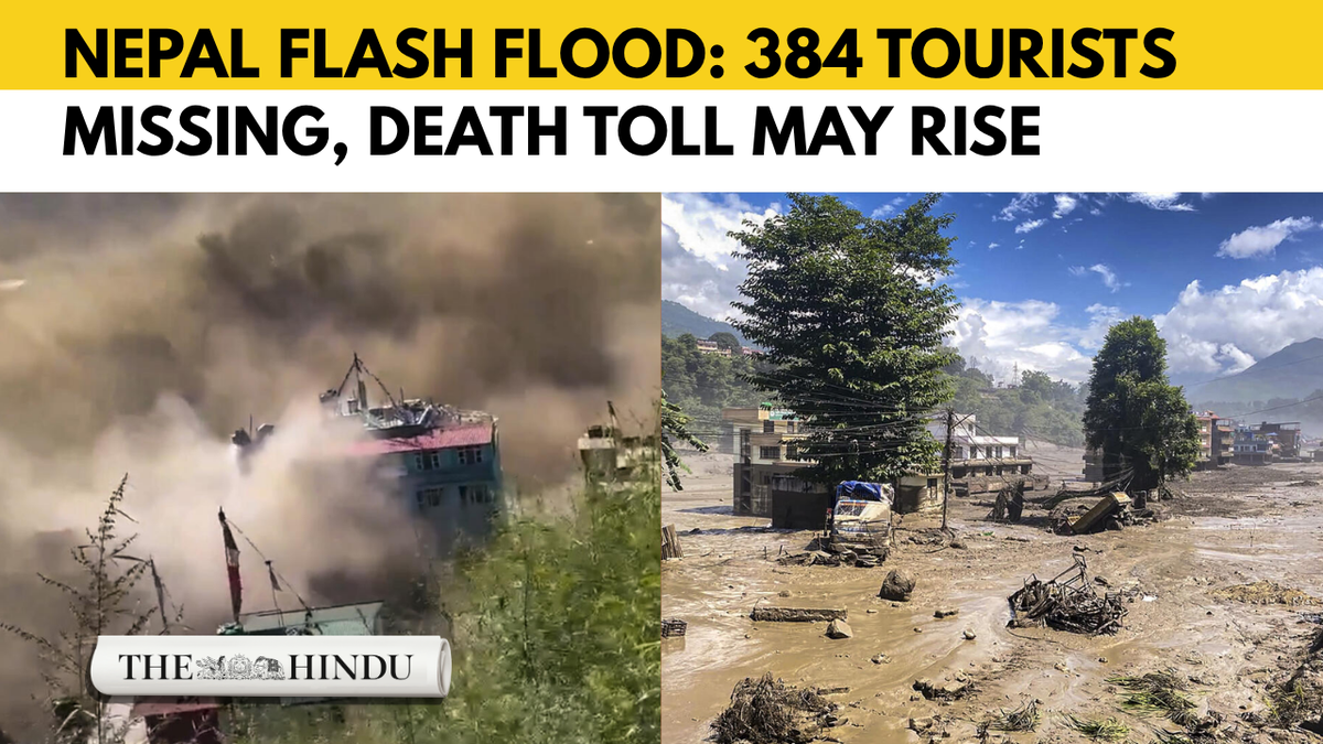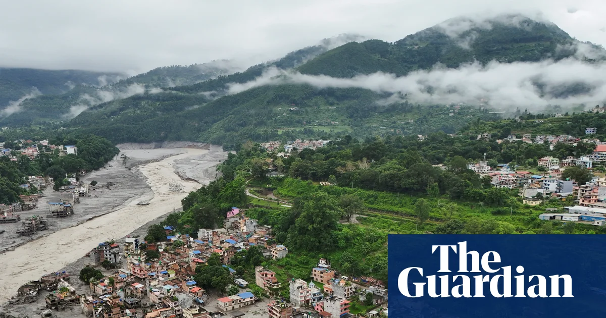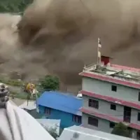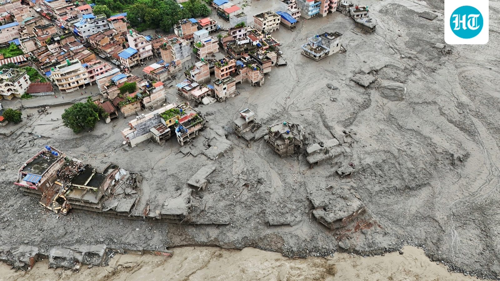
The flash floods that tore through Nepal’s Rasuwa district in the early hours of August 26, killing at least 100 but with hundreds and potentially thousands more missing on both sides of the Nepal-Tibet border, are among the deadliest in recent memory. The precise mechanism is still being investigated, but a picture is beginning to emerge — and one early assumption has already been overturned. Track Nepal floods live updates hereNepal's disaster was a fluvial flood — caused by rivers overflowing — and more than one likely interconnected river was involved. (Reuters)What is certainThis was a fluvial flood — caused by rivers overflowing — and more than one likely interconnected river was involved. The hydrological signature is clear from Nepal’s own gauge data. At Furke Khola on the Trishuli, the water level jumped from 3.35 metres at 11.10am to 10.48 metres at 11.40am — a seven-metre spike in half an hour. Twenty-nine kilometres downstream (as the crow flies) at Kali Khola, the level rose more gradually, from 6.74 metres at 1.10pm to 12.35 metres at 2.20pm.Further downstream still, at Devghat on the Narayani — 42km from Kali Khola — the rise was slower again, from 4.69 metres at 2.30pm (unchanged since 5am) to 6.57 metres by 4pm. At both Kali Khola and Devghat, the only stations transmitting through the day, water had receded by 6.30pm, as is typical in hilly terrain.What is almost certainThe flood was not caused by extreme rainfall. Establishing this with complete confidence would require a gauge at the exact site of any cloudburst, since such events can be too localised for modelled precipitation to capture. But neither global weather models nor anecdotal accounts point to any extreme rain preceding the event.Also Read I Satellite images show Nepal before and after devastating flash floodsWhat is still being investigatedWith rainfall largely ruled out, two hypotheses have been in play. Nepal’s Department of Hydrology and Meteorology, in an interim assessment relayed by the India Meteorological Department, suspected a Glacial Lake Outburst Flood (GLOF) — a flood caused when a moraine damming a glacial lake gives way. Nepalese officials cited by Reuters later suspected something mechanically different: the collapse of a glacier snout onto the valley floor hundreds of metres below. Before-and-after satellite images show lush green mountainside now buried under brown debris and sediment.The USGS, which had initially recorded a magnitude 4.4 earthquake at 8.22am IST in Tibet — the presumed trigger for the flood — later reclassified the event as a magnitude 5.2 landslide. “Additional analysis of long period seismic waves indicate that the seismic energy was instead generated by a landslide,” the agency said, adding that it had estimated the event’s location from satellite images.Also Read I Terrifying videos capture Nepal floods fury: Huge waves come crashing; buildings, people vanish in secondsIn other words, the tremor thought to have set off the disaster was the caused by the disaster when the mass of ice, rock and sediment broke off and fell to the valley floor.“It’s confirmed that a substantial portion of that glacier snout collapsed to initiate the event — probably including or entraining a fair amount of rock and sediment,” Vikram Gupta, who specialises in engineering geology at Sikkim University, told Reuters.
Glacial collapse in Tibet in focus of experts
The floods, which killed at least 100 with thousands more missing on both sides of the Nepal-Tibet border, are among the deadliest in recent memory. | World News
536 words~2 min read