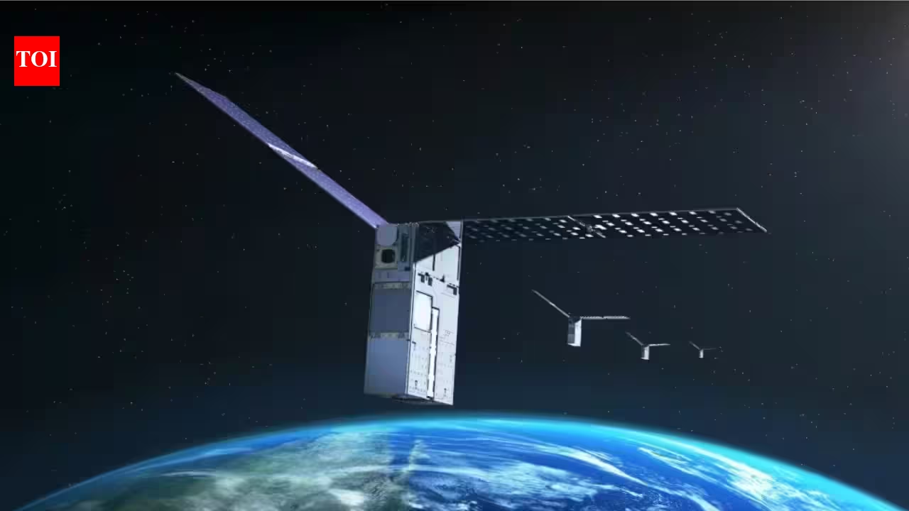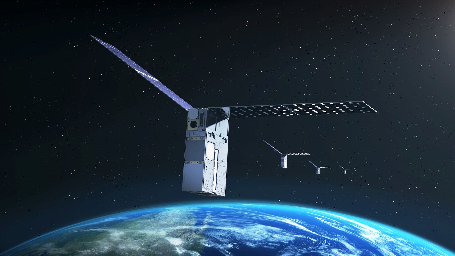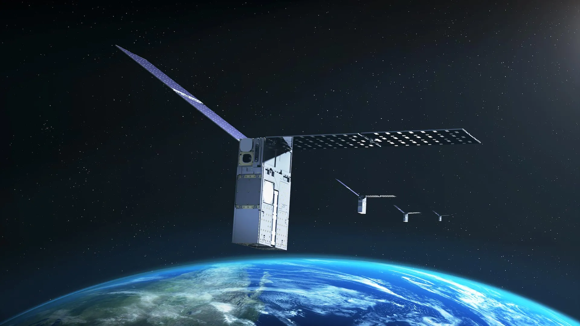
NASA's Starling mission has reached another milestone in autonomous spaceflight by demonstrating a system that can determine a satellite's orbital position using other objects in space as reference points rather than depending on an external navigation network.
The technology, called FALCON (Fast Autonomous Lost-in-space Catalog-based Optical Navigation), is designed to help spacecraft operate with greater independence. Such capabilities could become increasingly important as NASA pursues missions farther from Earth, including lunar satellite swarms, distributed science missions, and future human exploration.
Navigating Space Without GPS
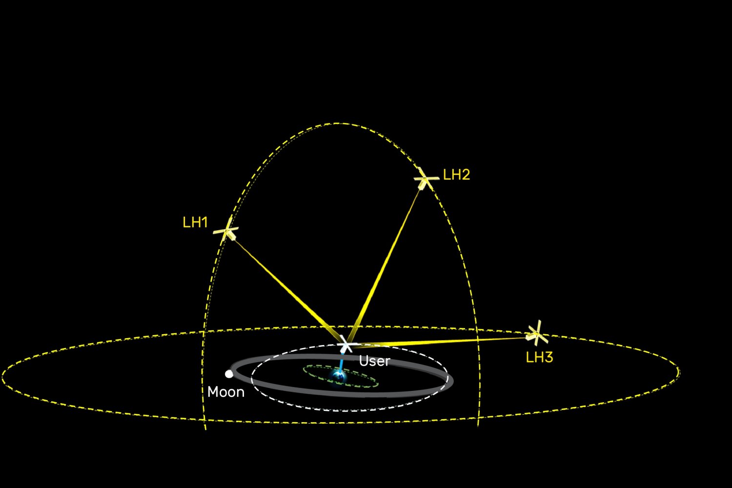
Satellites near Earth commonly rely on GPS for navigation, but those signals may be weak, unreliable, or unavailable around the Moon and in deep space. FALCON offers an alternative by allowing spacecraft to determine where they are using what they can observe around them.
The FALCON payload is a joint flight experiment developed by NASA and EraDrive, a startup that emerged from Stanford University. The system combines EraDrive's Era-Core flight software and embedded algorithms with Starling's cameras and an onboard catalog of known satellites. Together, these tools enable GPS-independent navigation while also helping the spacecraft track activity and objects in its surroundings.