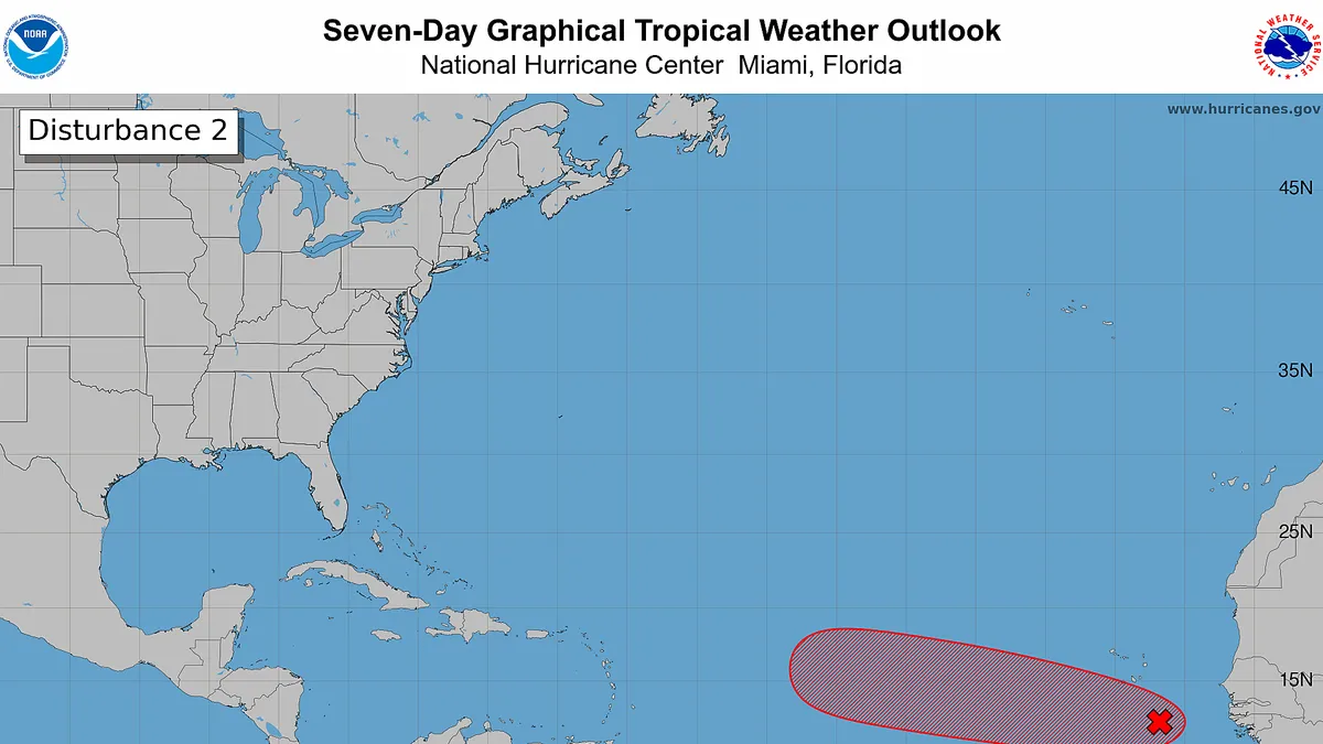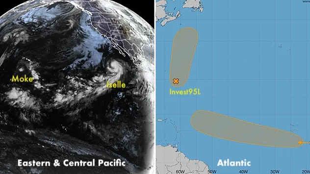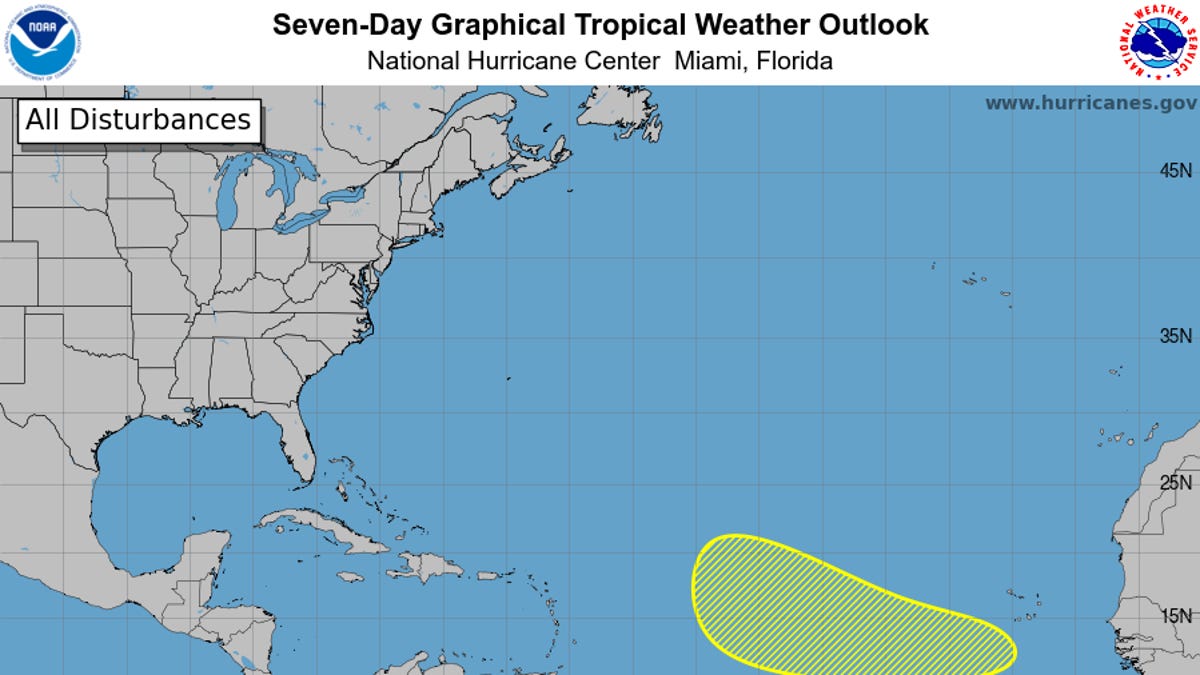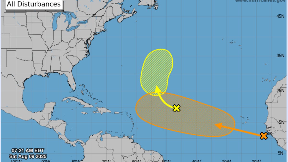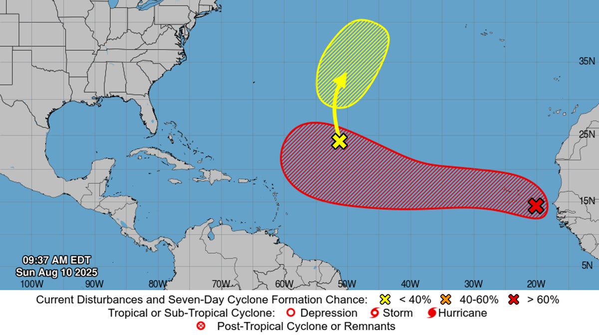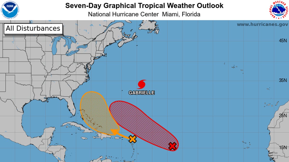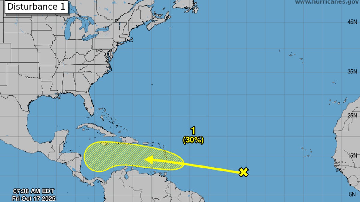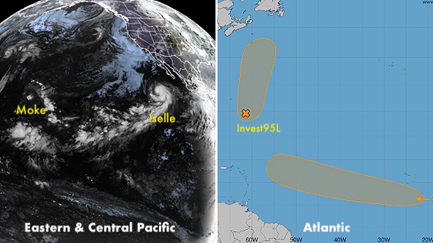
After almost a two-week break, the Atlantic is once again showing signs of life. This week, we’re monitoring Invest 95L in the central Atlantic southeast of Bermuda and another tropical wave emerging from Africa on Monday. Both disturbances were given seven-day odds of development of 50% by the National Hurricane Center in its 8 a.m. EDT Monday Tropical Weather Outlook.
Figure 1. Tropical outlook through Monday, August 31, 2026, from the 8 a.m. EDT Monday, August 24, Tropical Weather Outlook from the National Hurricane Center, shows two areas where there could be tropical development in the next seven days. Both areas have a medium (50%) chance of developing during the next seven days. (Image credit: NHC)
The outlook for 95L
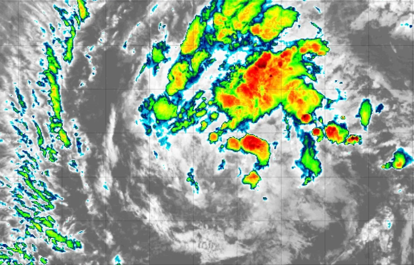
Invest 95L is a few hundred miles southeast of Bermuda in the subtropical Atlantic. Although the National Hurricane Center has highlighted a 50% chance of development during the next seven days, 95L is mainly moving north and is not expected to impact land.
The broad area of low pressure associated with 95L, which remains very disorganized, will continue to be pulled northward by a front that has exited the northeastern United States and southeastern Canada. This front will allow 95L to move away from the United States, regardless of whether it develops. The system will also enter cooler waters, which will inhibit further development. Even if 95L does develop into a tropical depression (or even a named storm) this week, this will likely be a system very much like Cristobal: short-lived, high-latitude, and steering clear of land areas.