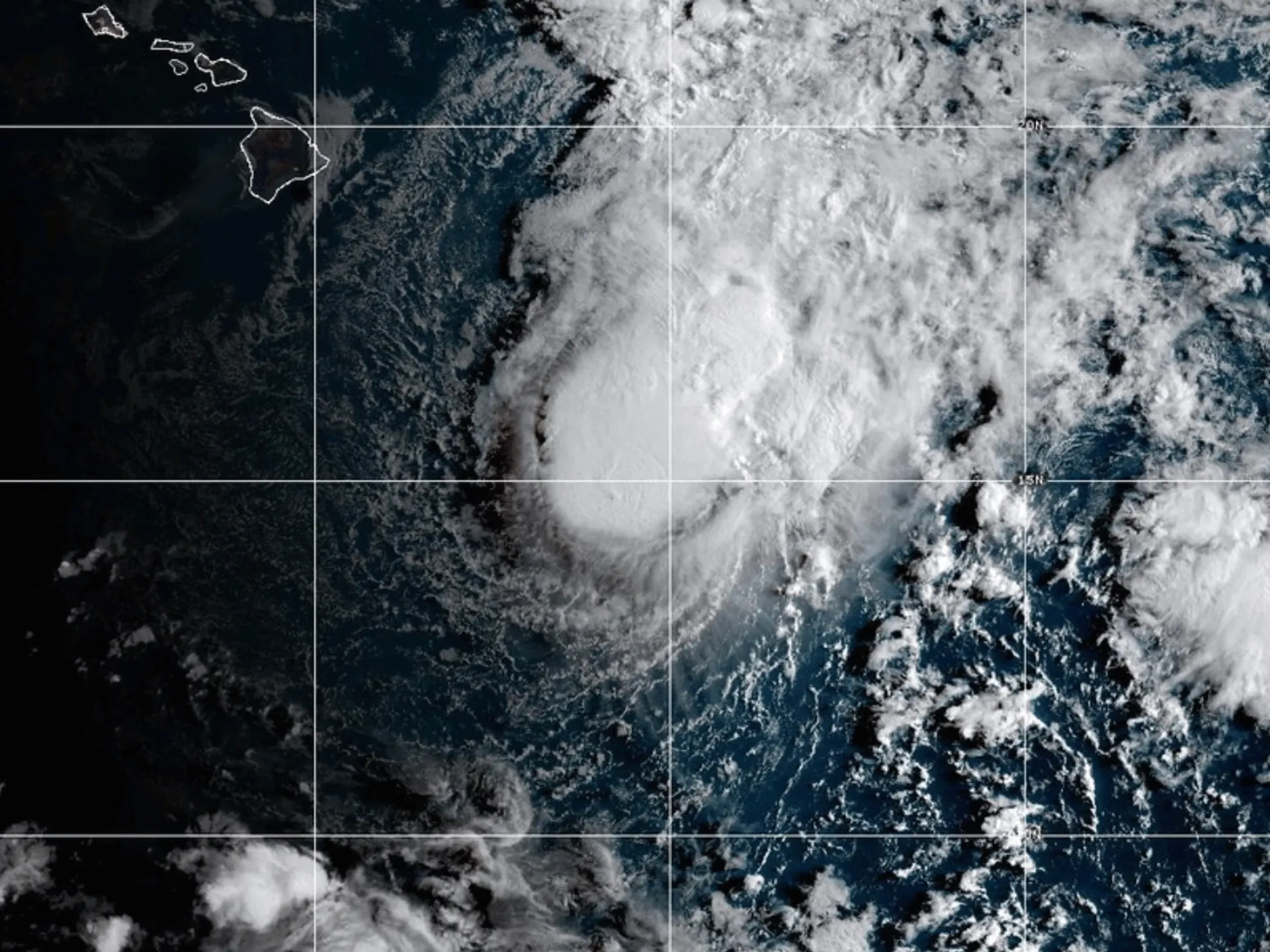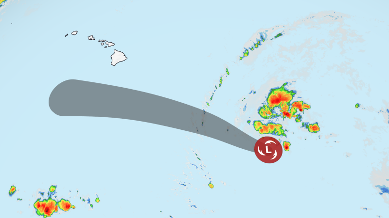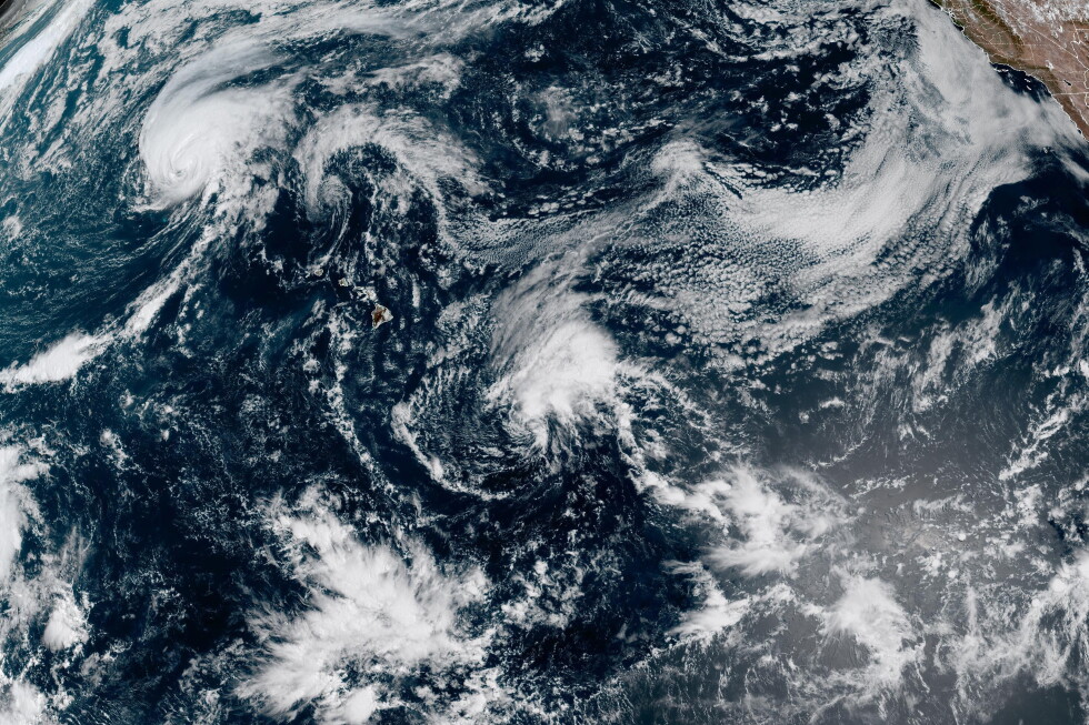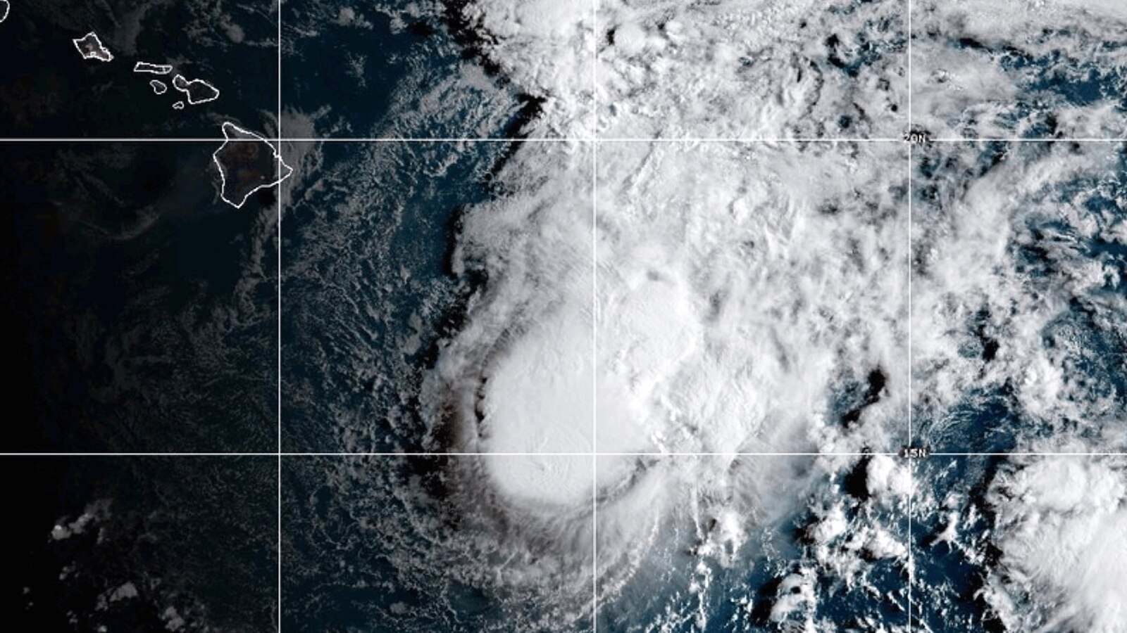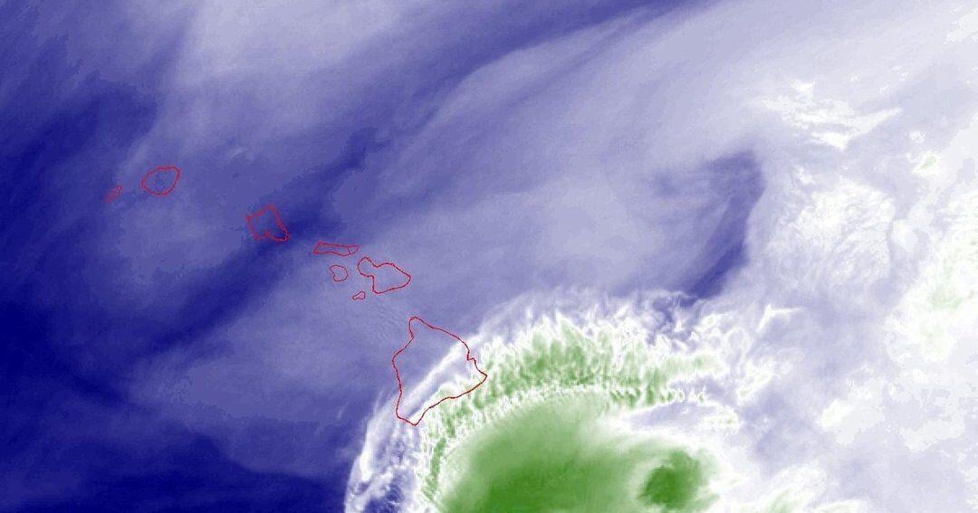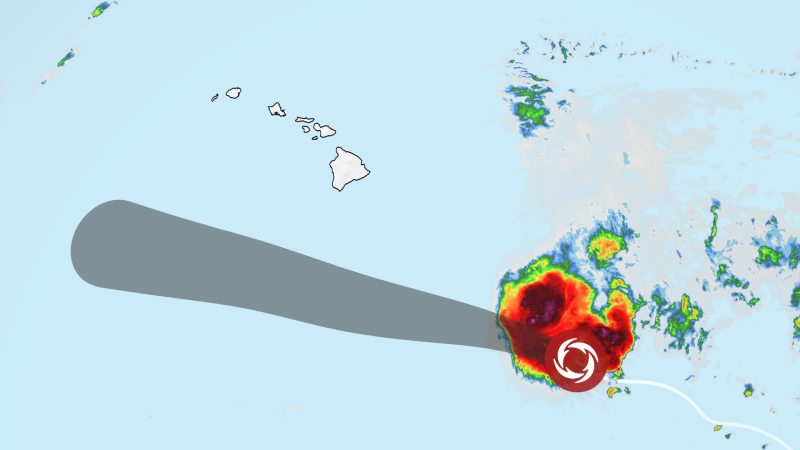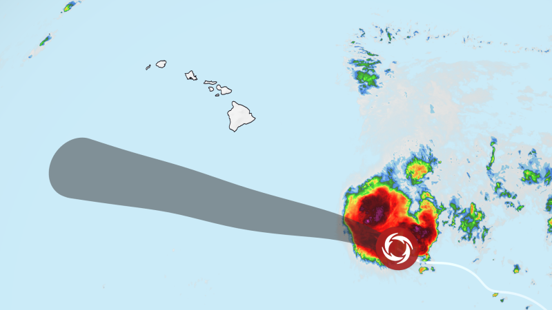
For the second week in a row, Hawaii is in the crosshairs of an intensifying tropical storm. As of 5 a.m. ET, Tropical Storm Moke was located 545 miles southeast of Hilo, Hawaii, with maximum sustained winds of 45 mph. The storm was moving to the west-northwest at 8 miles per hour.
While it is expected to remain a tropical storm and the center is predicted to pass well to the south of the Big Island of Hawaii, it will likely come close enough to bring heavy rains and gusty winds to an area just beginning to recover from the last storm.
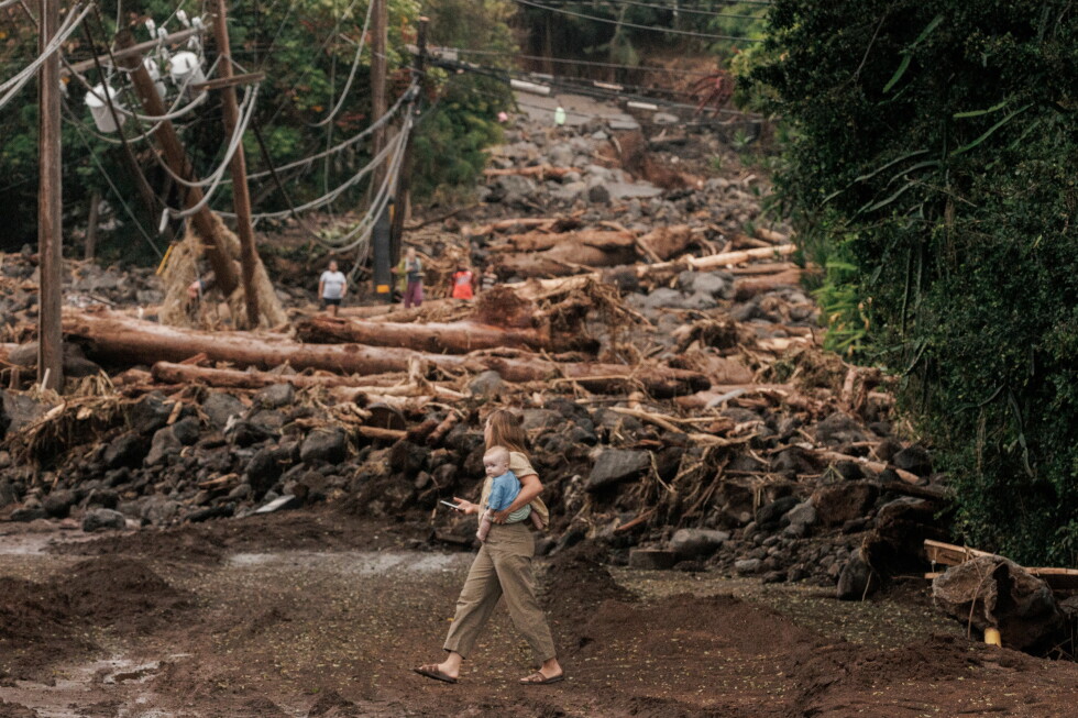
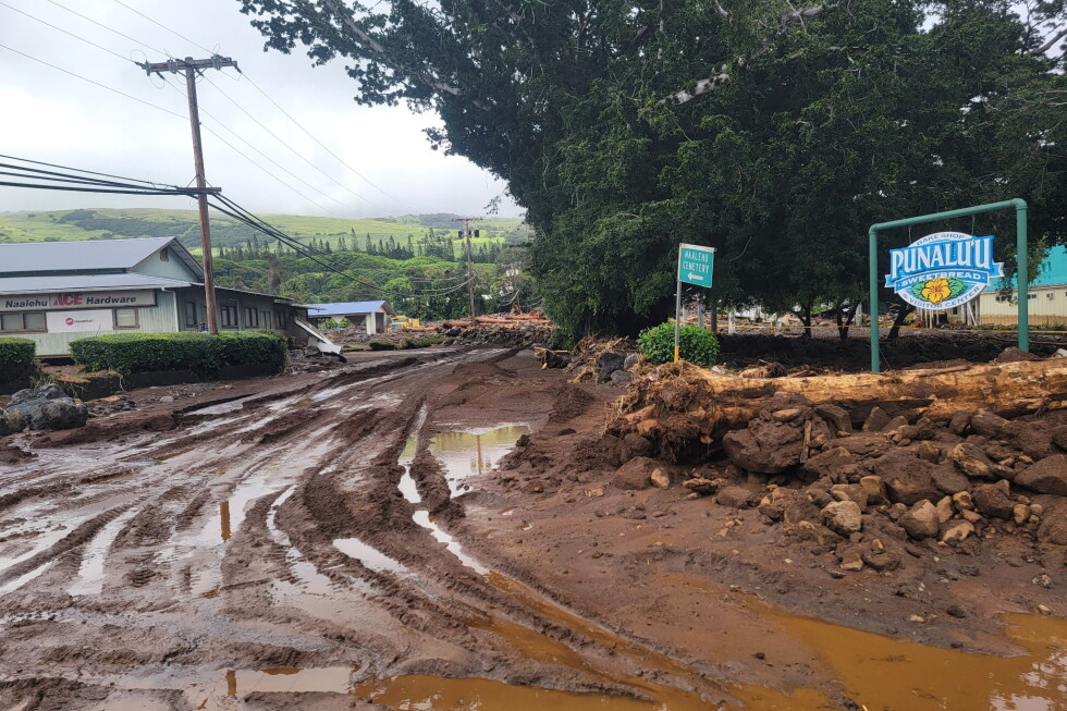
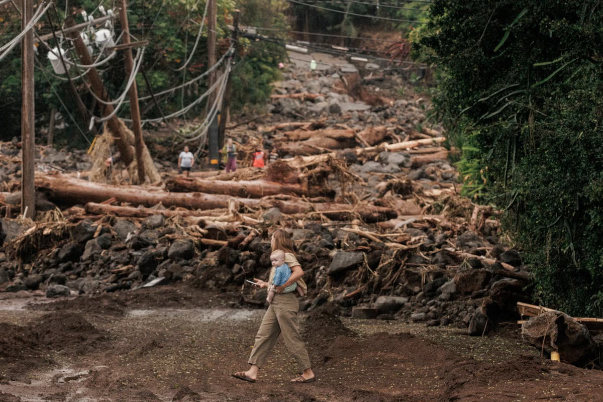
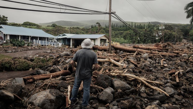
Last week, Hurricane Lala intensified while swirling just south of the Big Island. That storm dumped torrential rain — more than 3 feet in spots on the windward side of the island — that triggered damaging landslides and flash flooding that cut off small communities, destroyed homes and damaged critical infrastructure. At least one fatality has been blamed on the storm.
This devastation can be blamed in large part on El Niño. In normal years, Hawaii avoids tropical storm and hurricane damage so well it can almost feel like the islands are surrounded by an anti-hurricane force field. But that protective barrier, in the form of cooler ocean waters, is down now, and the impacts are visible for all to see.