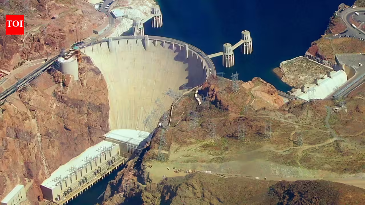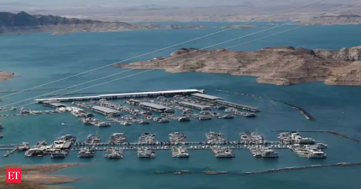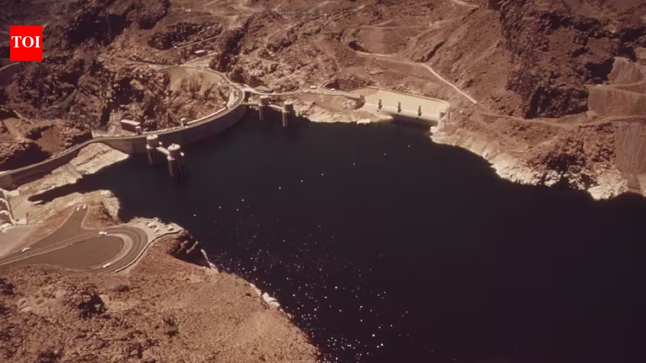
The construction of Parker Dam in the 1930s marked the beginning of progress along the Colorado River. Business visionary Robert McCulloch took the initiative to acquire land and even London Bridge to create a remarkable new community. Image Credits: Wikimedia CommonsDeserts are not usually where cities grow. Yet along the California-Arizona border, part of the Mojave Desert eventually became home to a planned city built around a man-made lake. NASA's Landsat mission has documented how the landscape changed over time, using historical maps alongside satellite imagery to show the transformation. The story begins with Parker Dam, built on the lower Colorado River in the 1930s as part of a major water and power project. The dam created Lake Havasu and helped regulate the Colorado River for water users downstream. Water from the reservoir was also diverted into the Colorado River Aqueduct, which carries supplies to Southern California.For decades after the reservoir was created, the valley around the lake remained largely undeveloped. During the Second World War, a small Army Air Corps rest camp operated along the shore, but there was little permanent development. That changed in the late 1950s when businessman Robert P. McCulloch arrived with plans to build a new community around the lake.How an empty valley became a proper cityMcCulloch began buying federal land around the lake, starting with a peninsula formed when the reservoir was created, an area still known locally as "the island." One of his boldest moves was buying London Bridge itself. The 1831 bridge was dismantled in England, shipped to Arizona and reconstructed in Lake Havasu City between 1968 and 1971. McCulloch paid $2.46 million for the bridge, while shipping it to Arizona cost about $240,000. Once finished, the bridge connected "the island" to the Arizona mainland and gave the new community an instant landmark. McCulloch also hired C.V. Wood, the planner behind Disneyland's road layout, to design the street network, giving Lake Havasu City its distinctive curving pattern rather than the grid common to many American desert towns. Together, the bridge and unusual road system helped establish the city as a planned tourist destination.NASA's Landsat report uses historical survey maps to show how quickly the landscape changed. A 1911 map shows little development: just a gravel road following the Colorado River and the natural contours of an alluvial fan running down from the mountains. By 1970, maps show the newly formed reservoir and an extensive road network already in place, although relatively few buildings had appeared. Within roughly two more decades, development had expanded dramatically, and a 1994 map needed a pink overlay to mark the growing city. Highway 95 now provides the main road connection through the area, while a small local airport serves the city.By 2010, Lake Havasu City had a permanent population of 52,527, according to the U.S. Census Bureau. The city also attracted a substantial seasonal population of winter visitors, commonly known as "snowbirds," from colder parts of the United States and Canada.This planned city showcased a distinctive road layout crafted by a Disneyland planner, evolving Lake Havasu City into a sought-after tourist hub and winter haven, thriving despite harsh desert conditions and minimal rainfall. Image Credits : Wikimedia CommonsLife in one of the hottest corners of AmericaNone of this growth happened because the climate was gentle. Lake Havasu City is one of the hottest places in the country, with summer temperatures typically reaching the 43°C to 50°C range, while the area receives only about 11 centimetres of rain in an average year. NASA's Landsat report points to these conditions as part of what makes the city's development unusual. Yet the large lake set against the surrounding desert provides opportunities for boating, fishing and other watersports in a landscape that was once largely undeveloped.Some of the most interesting changes around Lake Havasu are not the kind visible on a map or in a photograph, and NASA's Landsat report raises several of them as questions rather than settled conclusions. A reservoir of this size can alter water chemistry, change patterns of seasonal flooding downstream and affect aquatic life, from small invertebrates to fish populations. Whether the lake has changed local humidity or weather patterns remains an open question, as do the effects of decades of urban growth on groundwater levels and of planting greenery and lawns across a former desert on the local ecosystem.A dam created the lake, but it was deliberate planning that turned its largely undeveloped shoreline into a city. Over several decades, Robert P. McCulloch's development plans, the distinctive road network and the arrival of London Bridge transformed the landscape into Lake Havasu City. What began as a reservoir in the desert eventually became a permanent community built around one of the region's most striking artificial landmarks.
In the 1930s, Parker Dam created Lake Havasu for power and water; by 1994, Robert McCulloch's once-empty valley had filled with city blocks
Deserts are not usually where cities grow. Yet along the California-Arizona border, part of the Mojave Desert eventually became home to a planned city built around a man-made lake.
790 words~4 min read