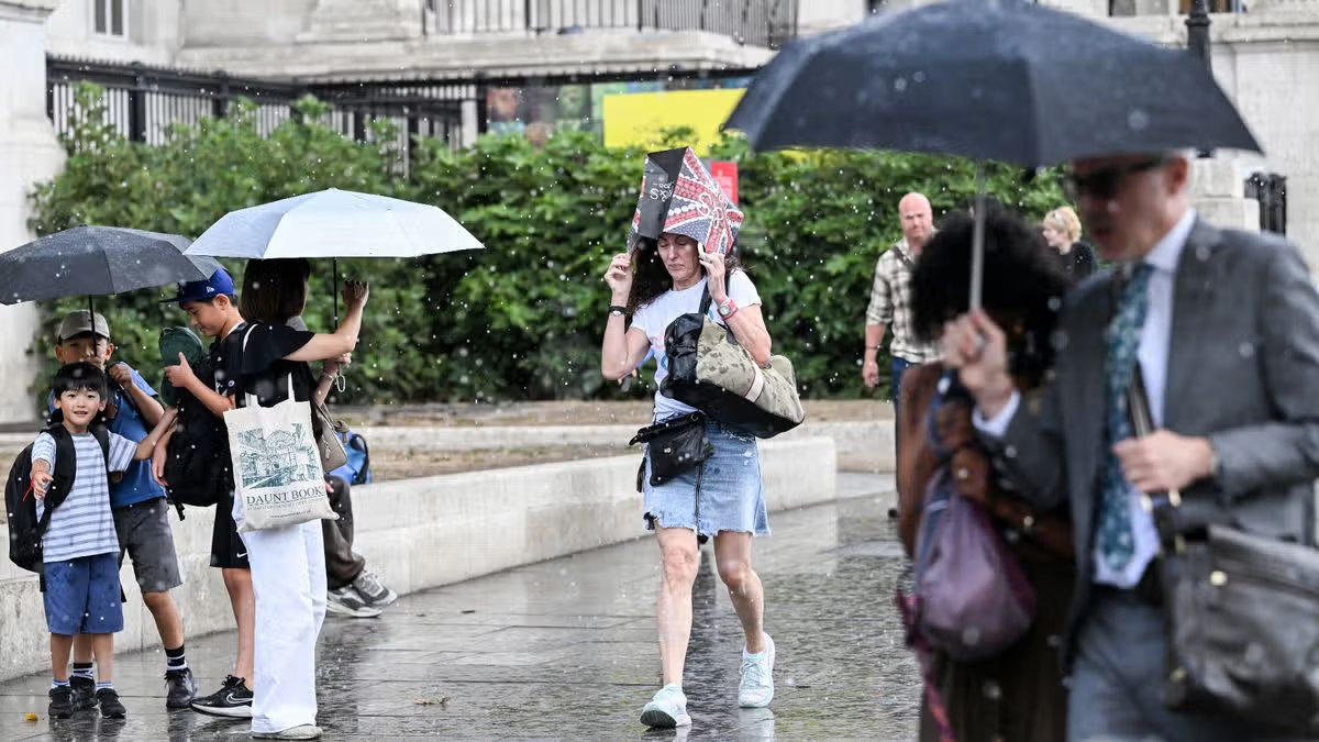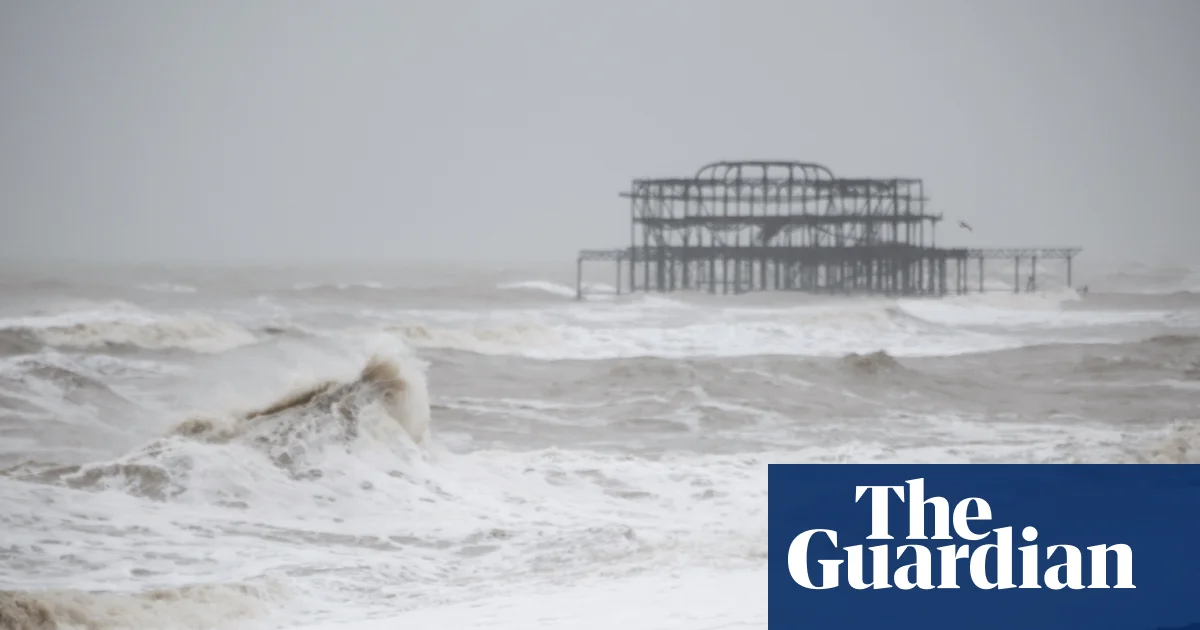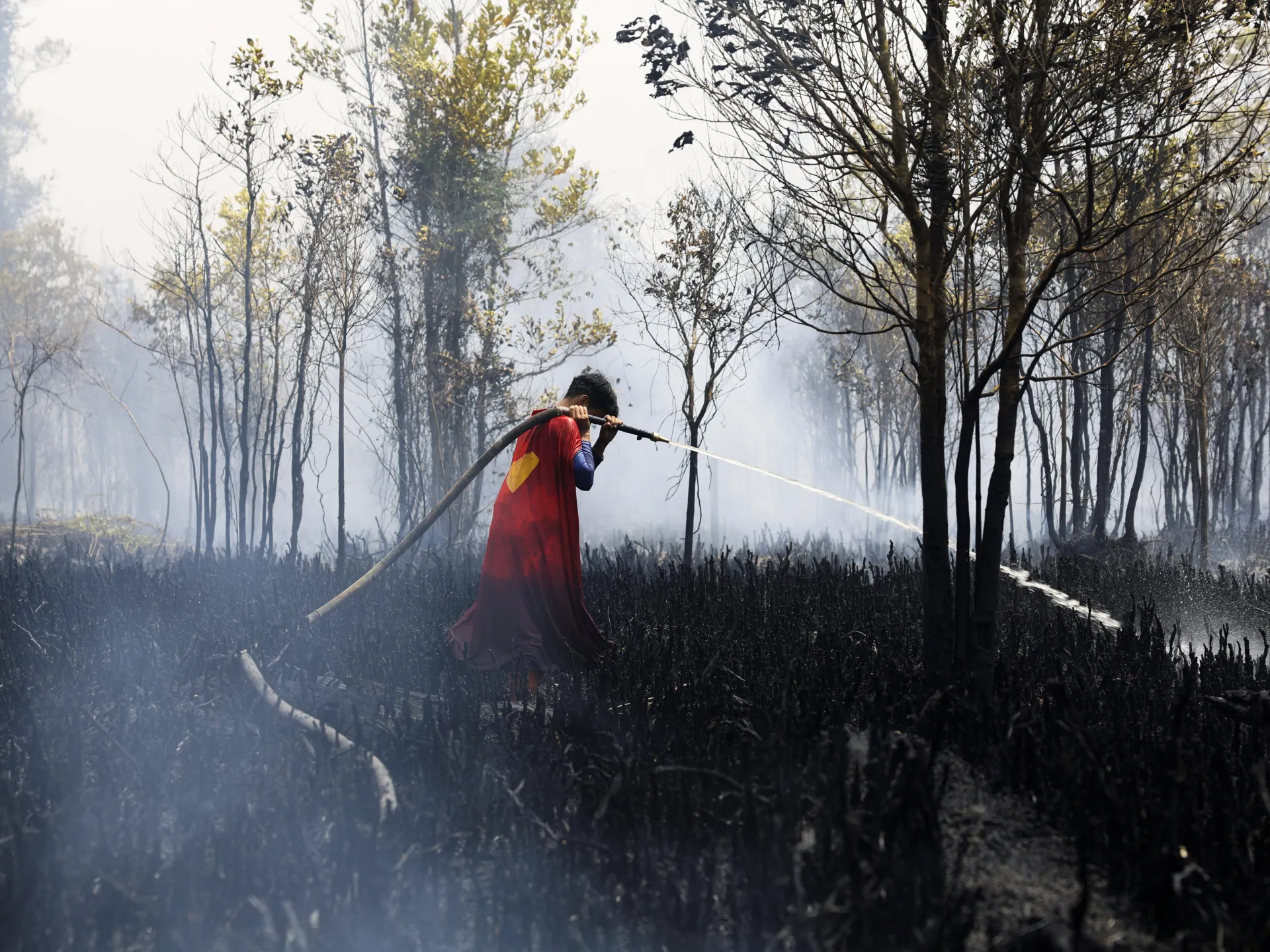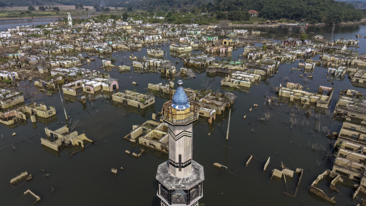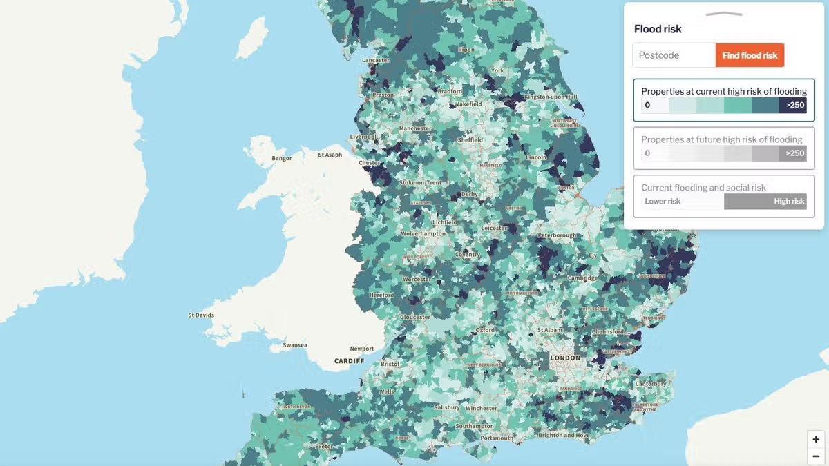
NewsUK NewsEl NinoThe strongest El Nino 'in centuries' is set to batter Britain with storms in the months ahead, meteorologists have warned, as the nation faces high flood risks this autumn and winter19:22, 21 Aug 2026Updated 19:26, 21 Aug 2026Britain has been told to prepare for flooding this autumn as an 'unprecedented' El Nino brings storms and wet weather.The weather system currently building in the Pacific ocean is expected to be the biggest in centuries, unleashing extreme weather around the world. And because of its location on the northern edge of Europe, the British Isles will likely be hit by knock-on impacts that send storms barrelling across the North Atlantic, the Met Office has warned.A Friends of the Earth map using Environment Agency data shows areas most at risk from river and sea flooding, revealing the long-term likelihood of one occurring in your area.Interactive mapCheck you area with the map from Friends of the Earth below:Areas most at risk of floodingThe maps highlight a few areas with a high - greater than 3.3% per year - chance of flooding.These include:The Somerset Levels - many of the low-lying moors surrounding Glastonbury and Street, such as The River Parrett Floodplain, are liable to flooding when the River Brue bursts its banks.Lincolnshire and the Fens - one of the flattest regions of the country, making it highly susceptible to inland and tidal flooding during periods of extreme rainfall.Yorkshire and The Humber - areas surrounding the Humber Estuary, such as Spurn Point and Winestead Outfall, are among the most flood-prone in England. North Sea coastal towns, such as Withernsea and Bridlington, also face tidal risks.Norfolk Broads & the East Coast - low-lying marshes between Norwich and Great Yarmouth regularly flood during high tides and river surges.Oxfordshire - across the Upper Thames catchment and into the Cotswolds.Mersey Estuary - high tides and storm surges push up the estuary from the Irish SeaLondon - the map also shows many high risk spots in Central and West London, although these are largely protected by the Thames Flood Barrier.Storms and more extreme weather on the way this yearHayley Fowler, professor of climate change impacts at Newcastle University, warned that though El Nino was a natural phenomenon that occurred every two to seven years, it is set to unfold in a "climate already loaded towards extreme heat", caused by burning of fossil fuels.She said this year Britain could witness weather events similar to Storm Desmond, which hit in late 2015 during the last strong El Nino. Three people died amid widespread flooding, and the storm caused an estimated £870 million in damage nationally.Article continues belowProf Bill McGuire, professor emeritus of geophysical hazards, University College London, said the Met Office and other in-depth forecasts "suggest that the world is in for one hell of a ride" in the months ahead."The astonishing and unprecedented amount of heat building across the eastern Pacific Ocean is all but certain to make this the most powerful El Nino in living memory - possibly even the biggest in several centuries" he said.Households have meanwhile been warned that El Nino could hike the price of everything from food to electrical gadgets as its impacts are felt at home and abroad, following on from a summer of record-breaking hot weather.Choose Daily Mirror as a 'Preferred Source' on Google News for quick access to the news you value.WeatherEl NinoFloods
Map shows UK areas most at risk of flooding ahead of 'unprecedented' El Nino
The strongest El Nino 'in centuries' is set to batter Britain with storms in the months ahead, meteorologists have warned, as the nation faces high flood risks this autumn and winter
561 words~3 min read