Stacked on top of long-term human-caused climate change, the temporary jolt will offer a glimpse of the heat the world can expect by the late 2030s, experts say.Here's what to know.What is El Nino?
Infographic explaining the El Nino phenomenon in the Pacific Ocean © Gal ROMA, Sophie RAMIS / AFP/File
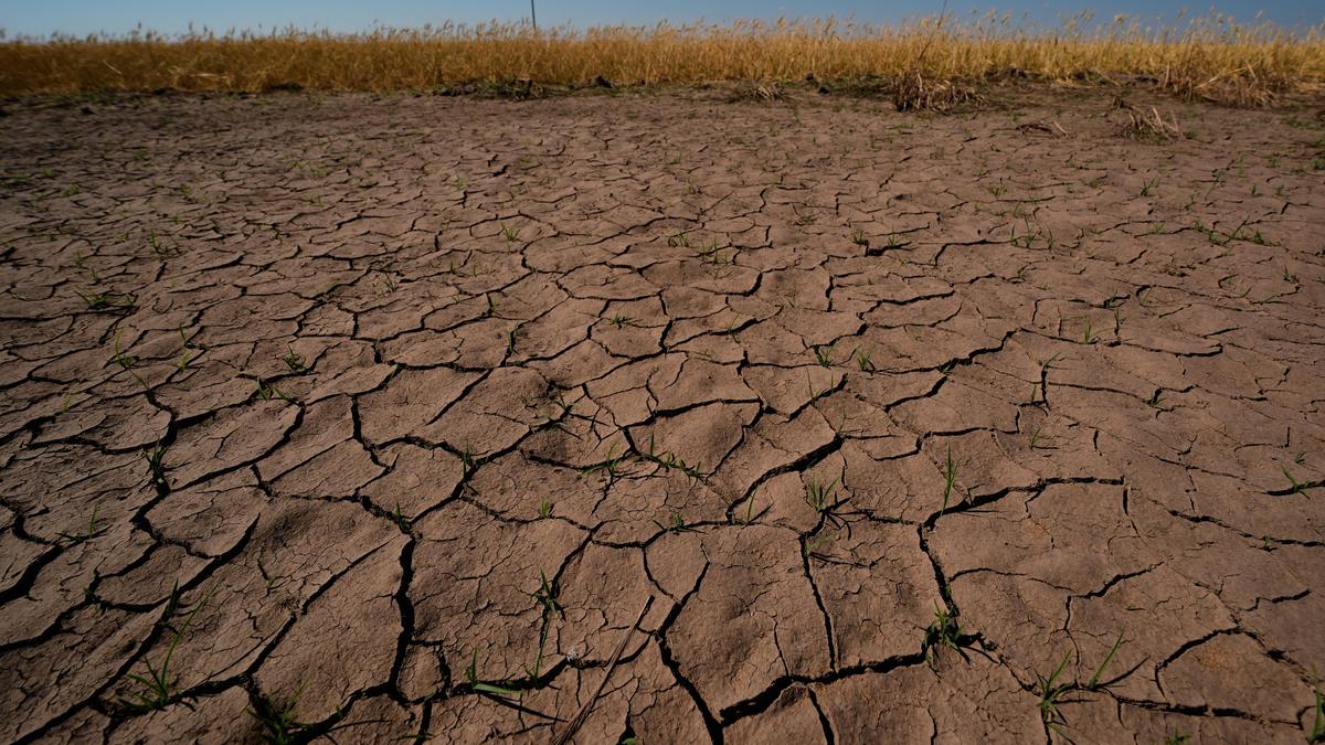
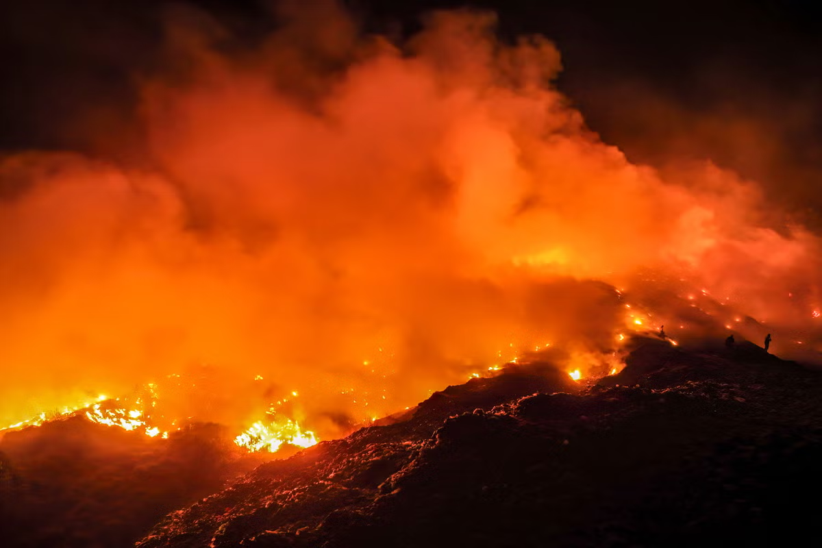
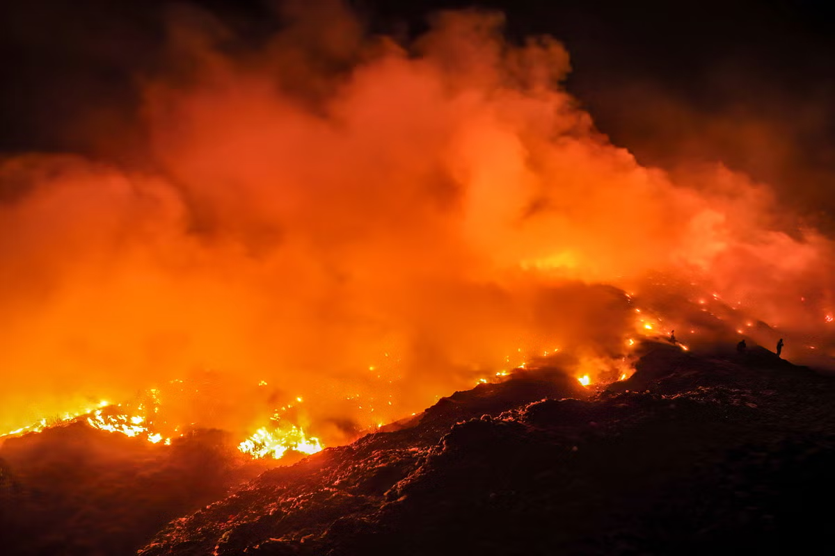
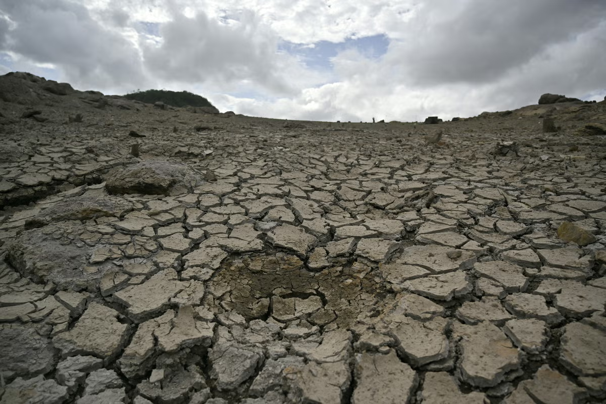
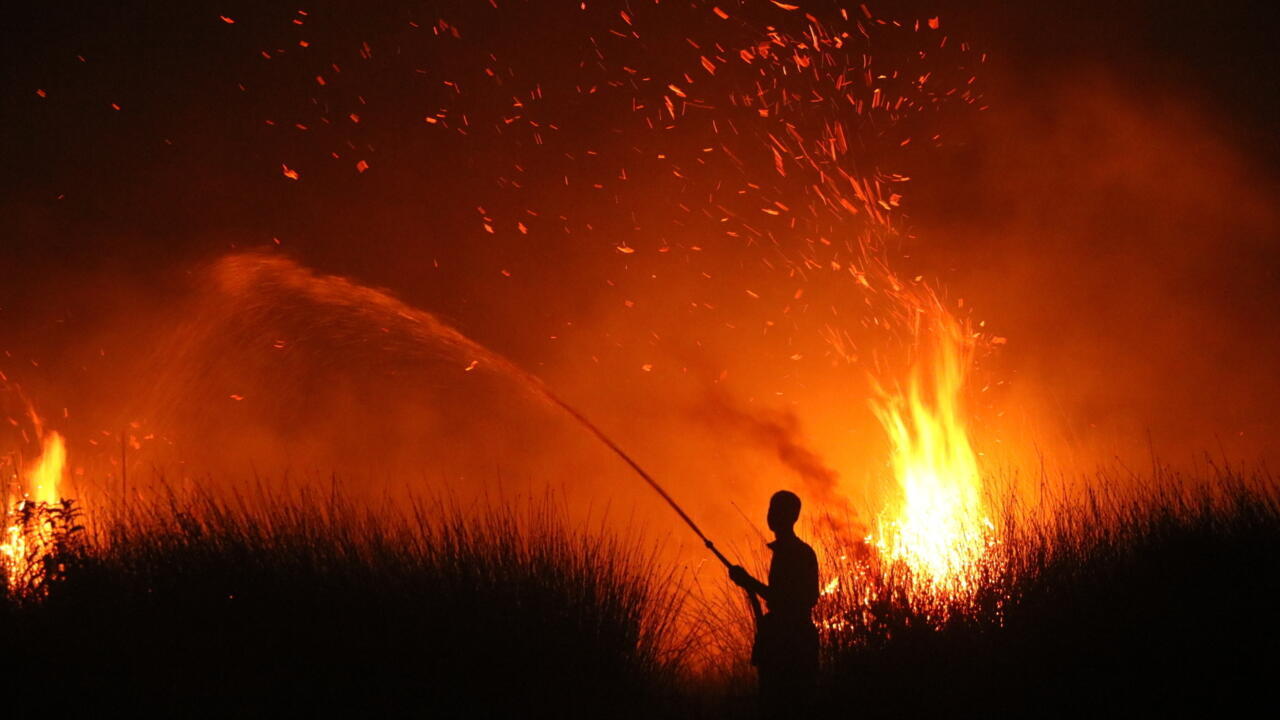
El Nino is the warming phase of a natural cycle in the tropical Pacific known as the El Nino-Southern Oscillation (ENSO).It sets in when trade winds that blow from east to west temporarily ease up, allowing warm water which normally piles up in the western Pacific Ocean to slide back east and rise to the surface.When those warmer-than-average surface temperatures last for a few months, they cause more storms and clouds over the region, "which cause ripple effects through the entire global atmosphere," explained Emily Becker, a climate scientist at the University of Miami.The upshot is hotter and drier conditions in some places, cooler and wetter in others. Some effects are already being felt. For example, Indonesia's long, intense dry season has fed wildfires that have burned hundreds of thousands of hectares."Stronger events mean that we can expect to see more of these expected El Nino impacts," Michelle L'Heureux, ENSO team lead at the National Oceanic and Atmospheric Administration (NOAA)'s Climate Prediction Center, told AFP, though she cautioned none are guaranteed.What's going on this year?