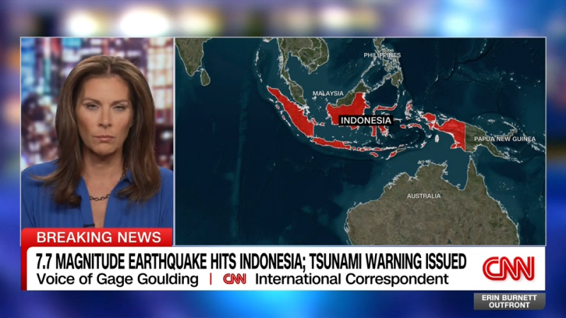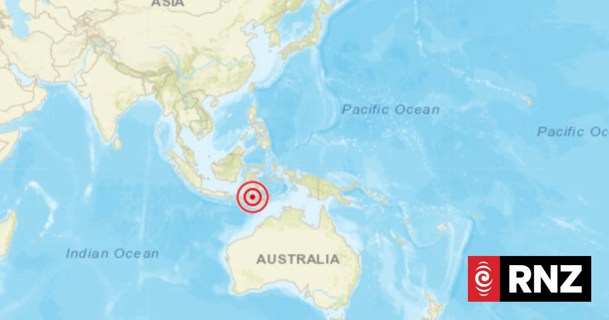
A magnitude 7.7 earthquake struck along the northern coast of Indonesia on Saturday morning local time, according to the US Geological Survey (USGS). Three aftershocks — of magnitude 5.9, 5.6 and 6.1 — followed, according to USGS.
The country’s meteorological agency said an early tsunami warning is in place.
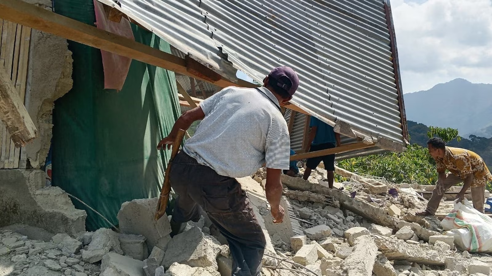
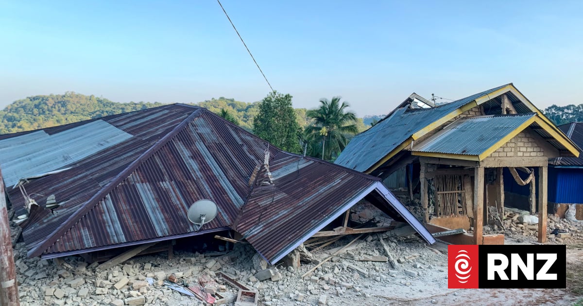
Initial estimates from the USGS based on the earthquake shaking indicate casualties and damage are possible, though the Indonesian government has not yet commented on this.
The USGS pager suggests about 500,000 people were exposed to very strong or severe shaking, which is capable of slight to moderate damage in well-built structures and great damage in poorly built structures.
Indonesia has seen several devestating earthquakes in the past. The country sits on the Ring of Fire, a band around the Pacific Ocean that sets off frequent earthquakes and volcanic activity. It is one of the most seismically active areas in the world and spans from Hapan and Indonesia on one side of the Pacific to California and South America on the other.