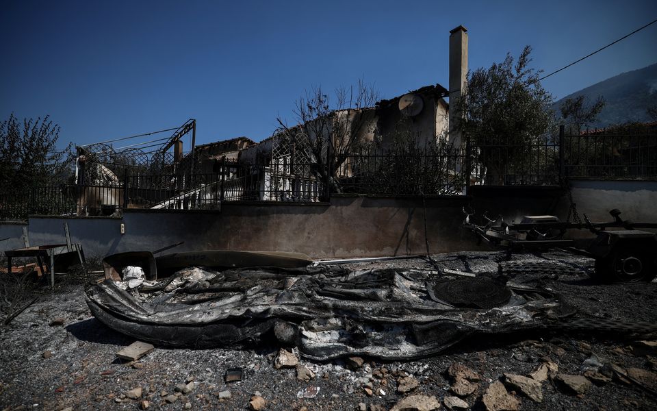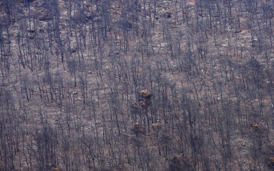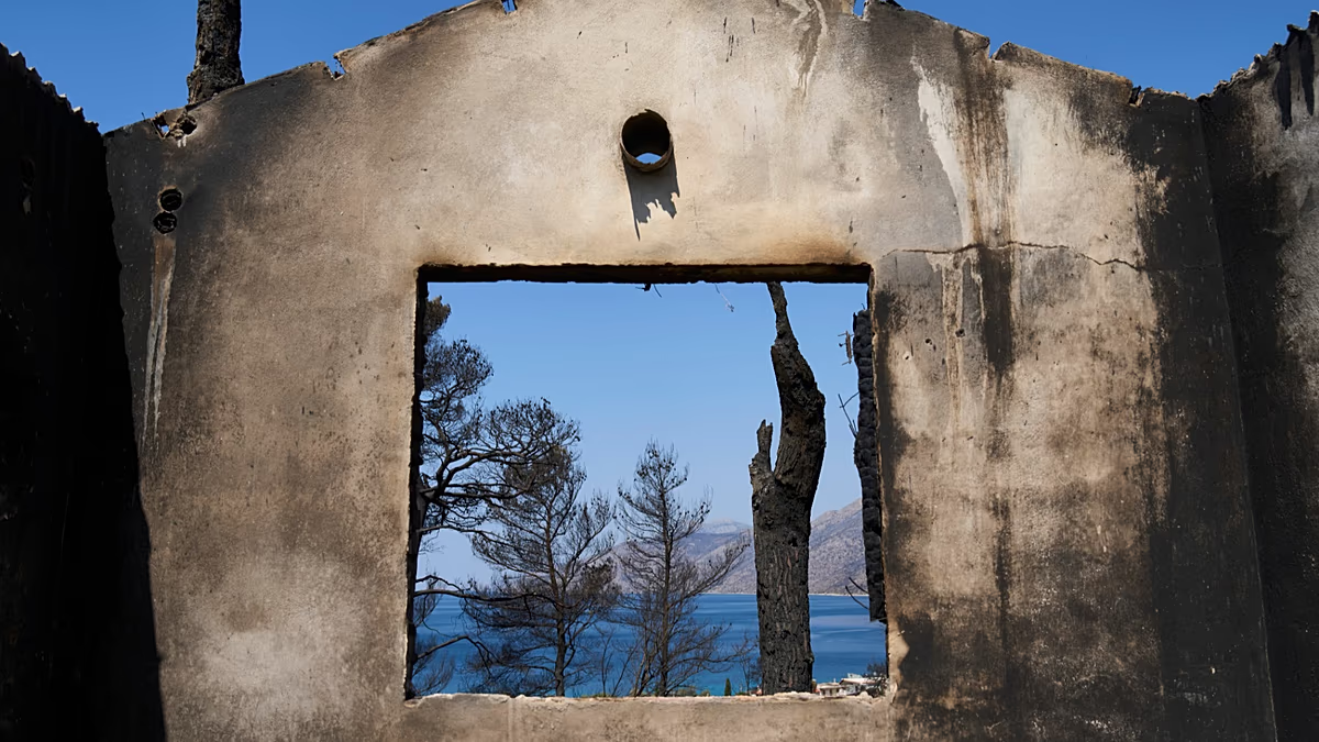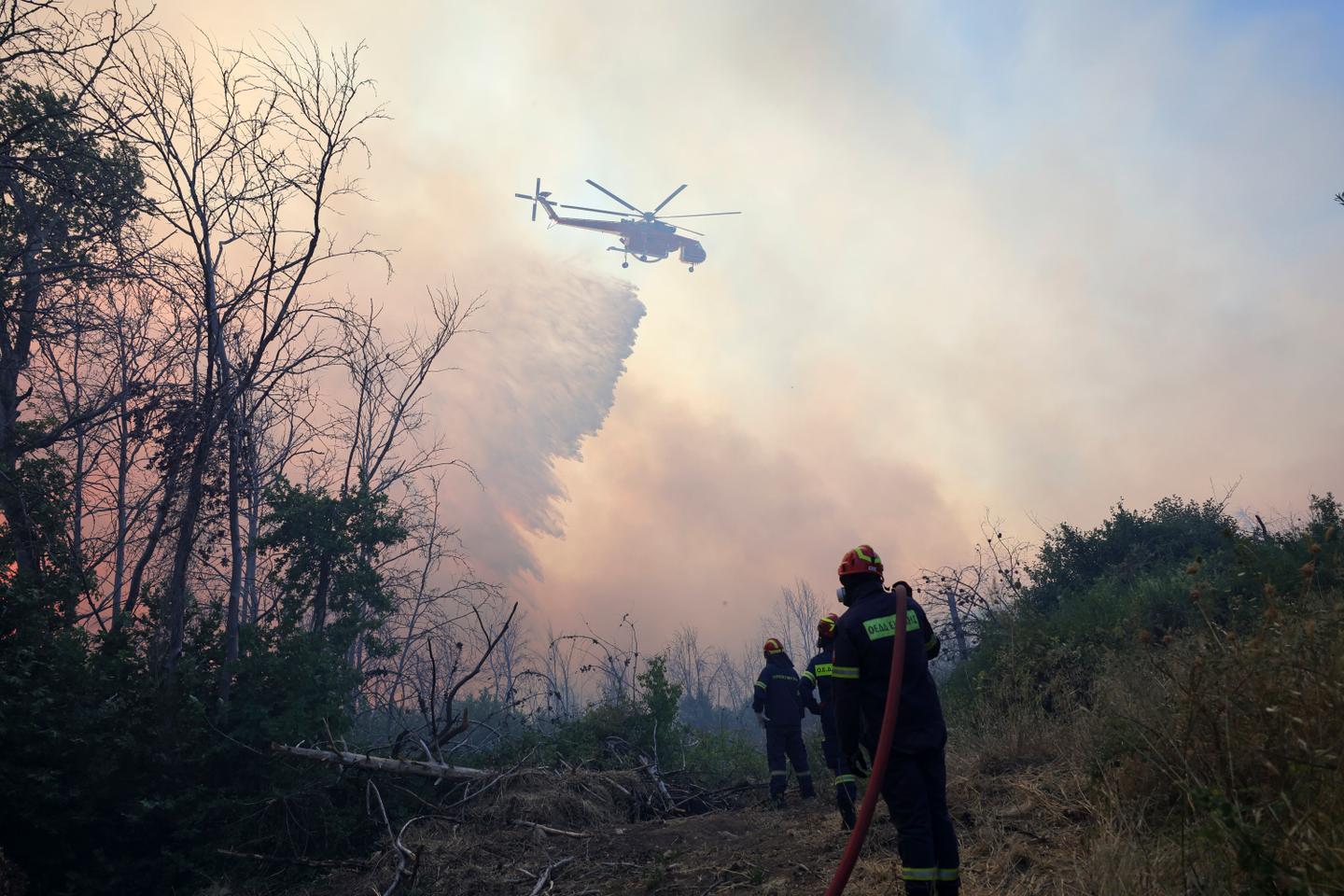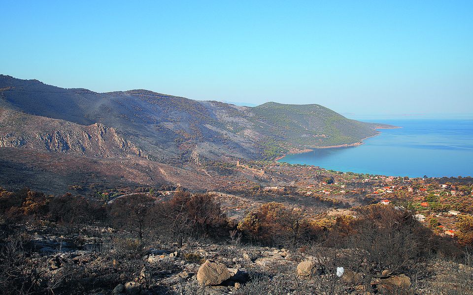
Burnt areas in Porto Germeno. [Socrates Baltagiannis]
The Environment and Energy Ministry has completed mapping burned areas in western Attica following the July 31 wildfire, clearing the way for erosion-control and initial flood-protection works that the ministry says will begin before September 15.
The interventions will focus on critical locations to stabilize soil, retain debris and reduce the risk of flooding in affected areas and downstream communities. The mapping was carried out by the Forest Maps Department of the ministry’s General Directorate of Forests and Forest Environment.
The ministry also announced the designation of Piraeus Bank as restoration contractor for areas under the jurisdiction of the Egaleo Forest Service. Under the arrangement, the bank will finance the required study and the immediate implementation of erosion-control and first-stage flood-protection works. The total budget is estimated at €1.5 million, excluding VAT.
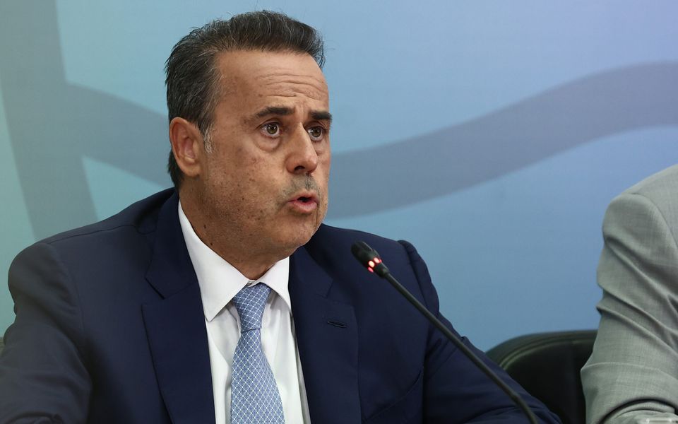
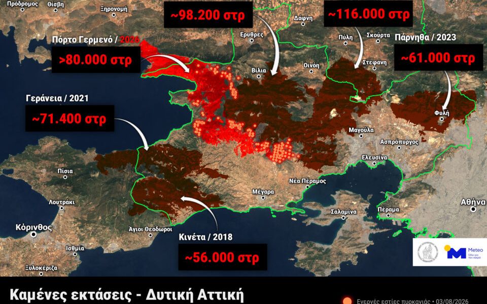
Environment and Energy Minister Stavros Papastavrou said last week that the wildfire affected about 11,300 hectares, roughly 9,500 of them within the Attica region. The ministry noted that western Attica has repeatedly suffered major fires. From 2018 through this year, six large wildfires burned more than 48,000 hectares, according to data previously published by the Copernicus Rapid Mapping Service and the European Forest Fire Information System.