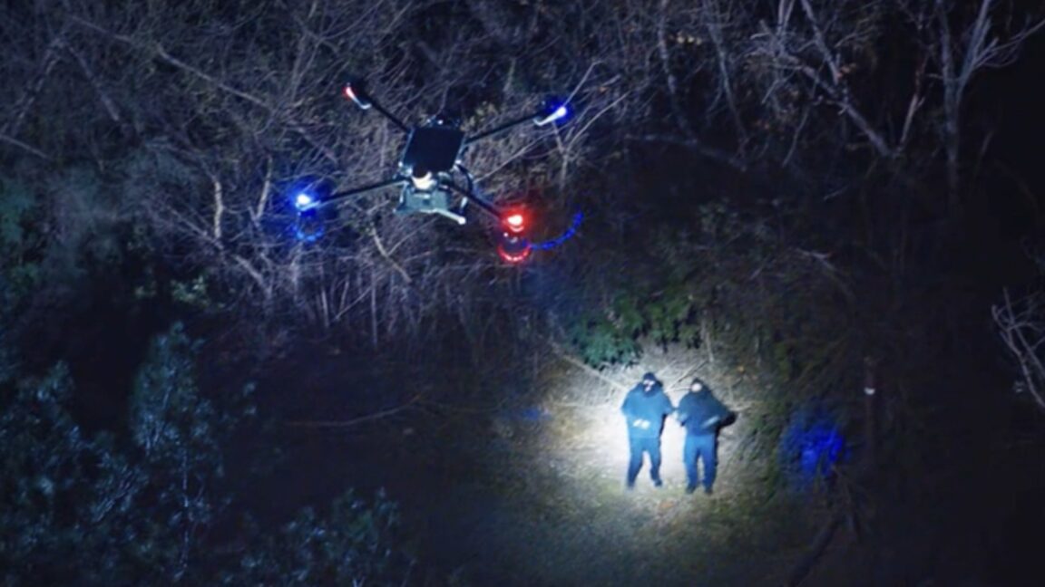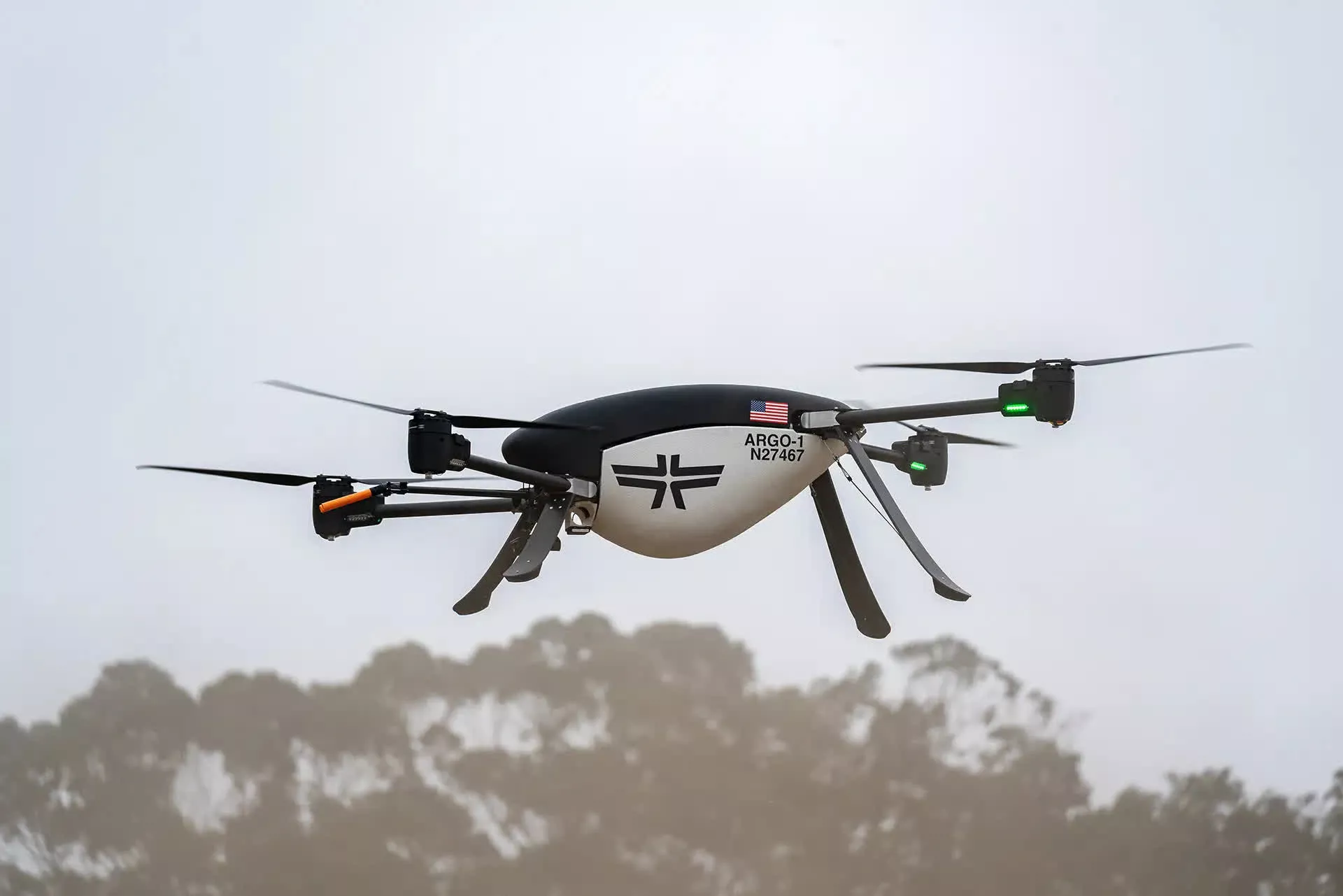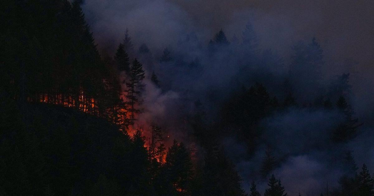
Wildfire response can get complicated fast. There are drones in the air, crews on the ground, dispatch information coming in, and, increasingly, huge areas of smoke making it harder to see what is happening. BRINC is now trying to put at least one more piece of that puzzle in the same place.
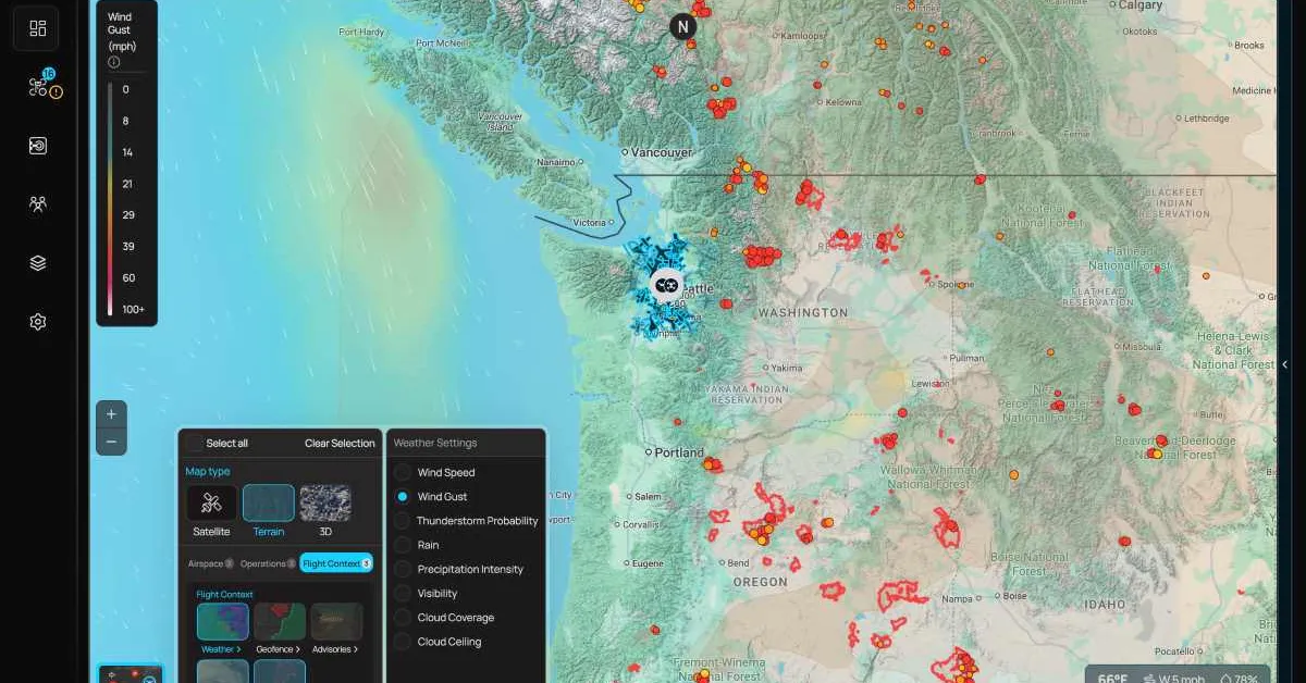
The public safety drone company has added two new map layers to its LiveOps platform, giving agencies real-time information on active wildfires and smoke conditions without requiring another application or screen. The layers became available to all BRINC customers on August 7 at no additional cost.
What makes the rollout particularly interesting is how quickly it came together. The feature reportedly started as an engineer’s prototype, built while he was tracking fires ahead of a camping trip. Within days, it had gone from a personal tool to a capability available to every agency running LiveOps.
The timing was deliberate. With agencies across the US West actively battling wildfires, BRINC wanted to get the information into responders’ hands immediately. Fire detections and smoke conditions now appear directly on the same map as an agency’s drone operations, with each layer independently toggleable.