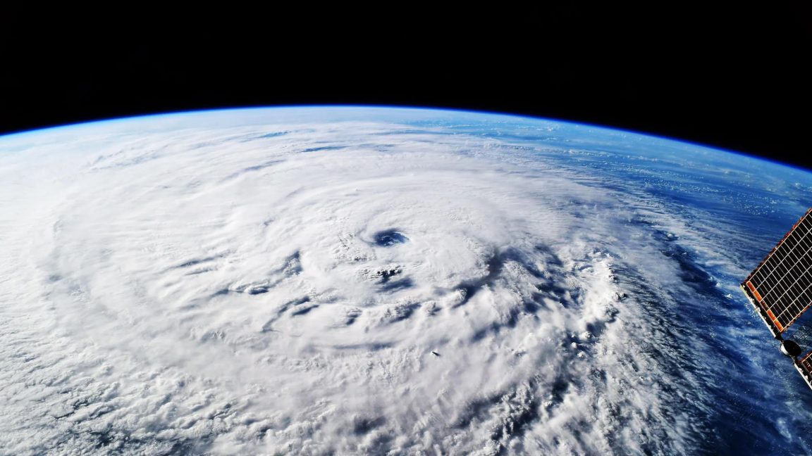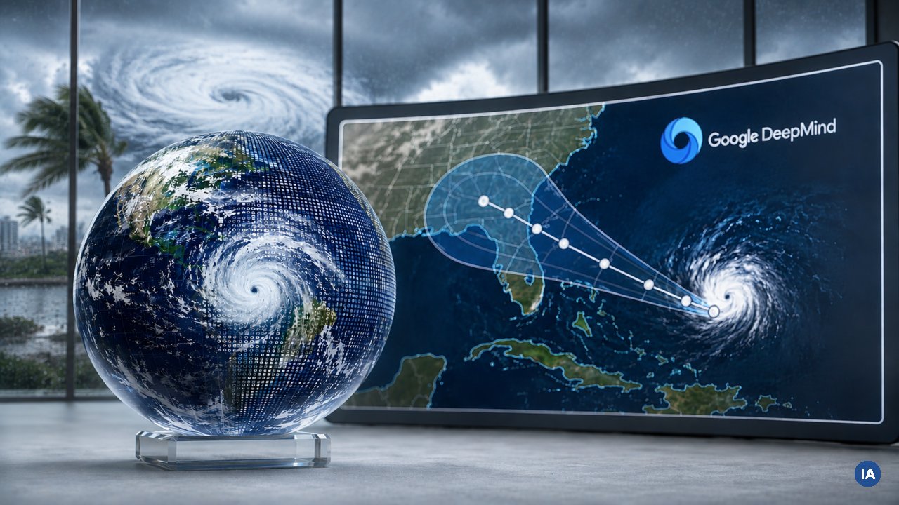
The model was built with the National Hurricane Center (NHC), the Cooperative Institute for Research in the Atmosphere, and the UK Met Office. Since June 2025, forecasts have been running live on Google's Weather Lab. During Hurricane Melissa, which made landfall in Jamaica in 2025, the model helped the NHC predict the storm's rapid intensification in time, according to Deepmind. That's when a storm gains at least 30 knots (about 34 mph) in wind speed within 24 hours.
WN-C solves a decades-old tradeoff
Cyclone forecasting has long suffered from a tradeoff. Global models like ECMWF's ensemble system (ENS) are strong on track prediction but too coarse for intensity. Specialized regional models like NOAA's Hurricane Analysis and Forecast System (HAFS) deliver more precise intensity readings but lose accuracy on the track. WN-C handles both in a single system, according to a paper published in Nature.
For a five-day forecast, the estimated storm center position is off by an average of 230 kilometers, compared to 370 kilometers for ENS and 335 kilometers for Deepmind's predecessor model GenCast. On three-day intensity forecasts, WN-C is 3.75 knots (about 4.3 mph) more accurate than HAFS.
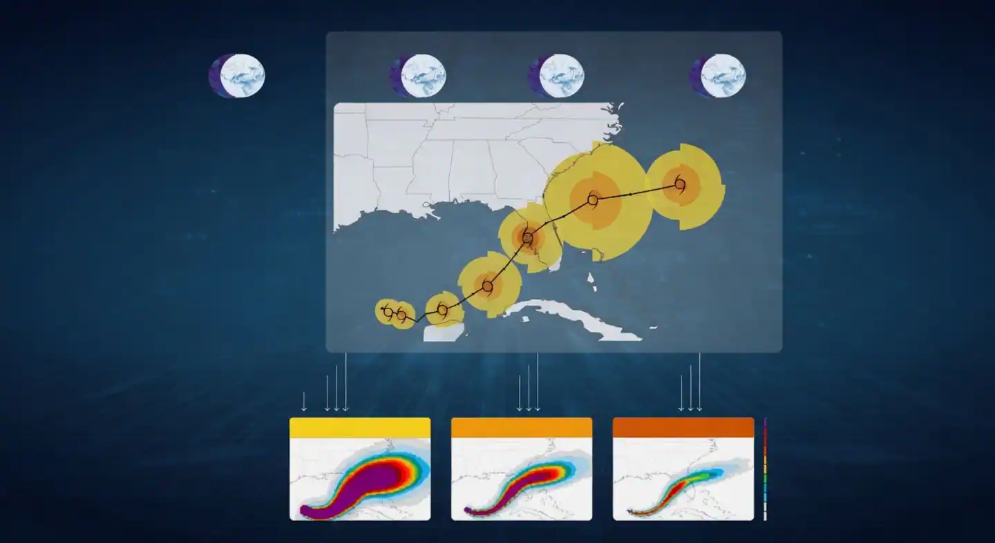
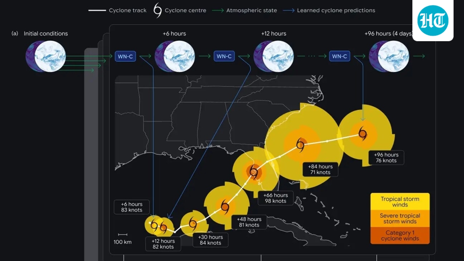
The model advances the global atmospheric state in 6-hour steps and derives the cyclone track directly, shown here for Hurricane Milton. From 1,000 runs, the maps below show the probability at each location of winds reaching 34, 50, and 64 knots. | Image: Google Deepmind