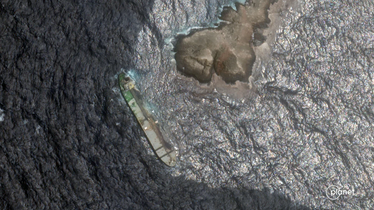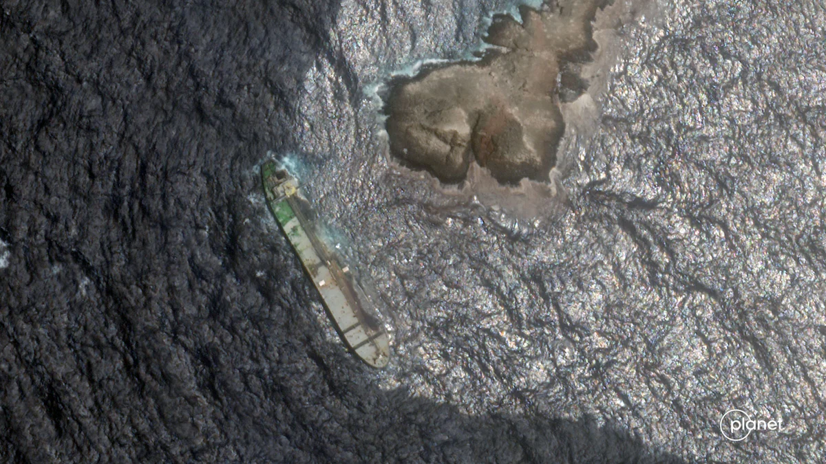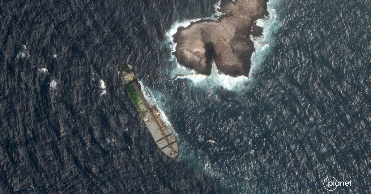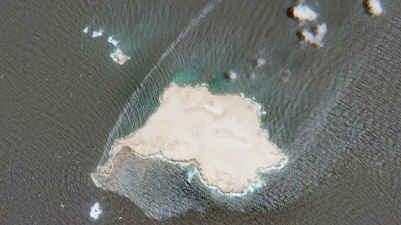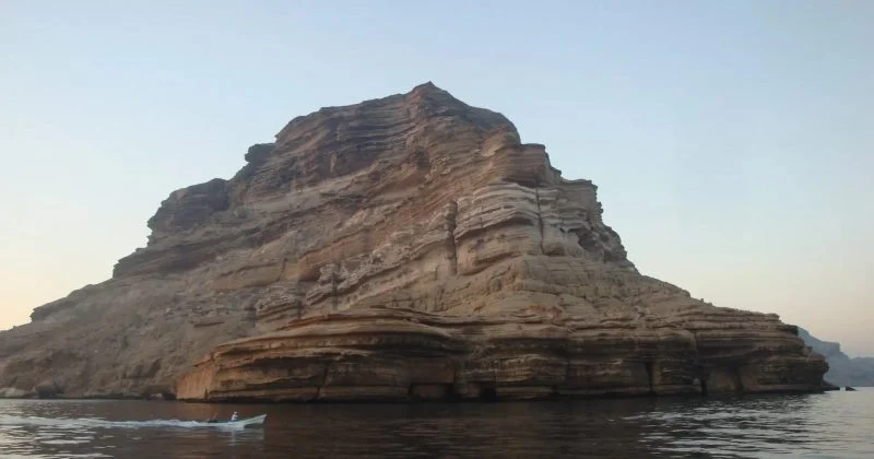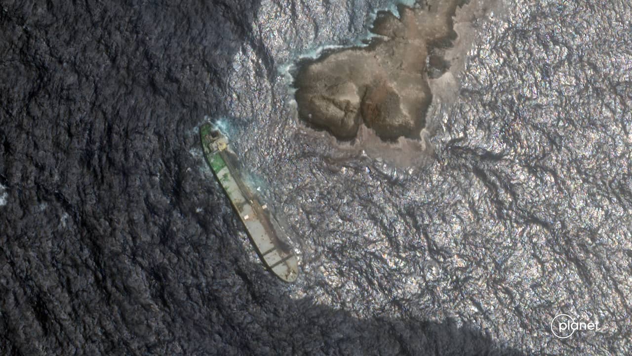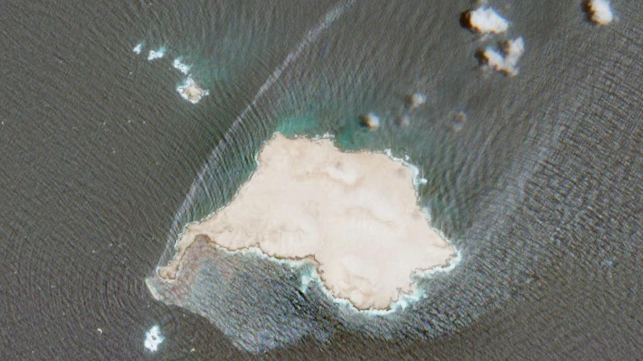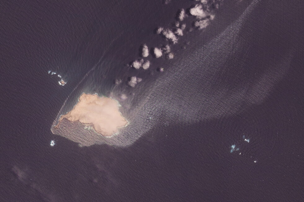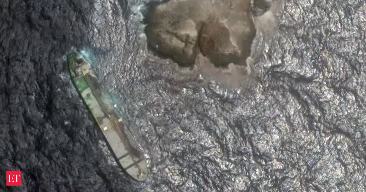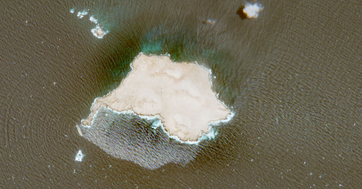
BEIRUT (AP) — Satellite images reviewed by The Associated Press show that a sanctioned tanker carrying nearly a million barrels of oil appears to be increasingly submerged in water off the coast of Oman, where it has been grounded for weeks, while leaking ever more oil into the surrounding sea. Crude oil has been leaking and spreading quickly in recent days from the tanker Caroline Bezengi, reaching the shores of Qibliyah Island off Oman’s southwest coast. By Aug. 7, the spill was covering nearly 800 square kilometers (309 square miles), according to Wim Zwijnenburg, an environmental expert for PAX, a Dutch organization that tracks environment in conflicts. Greenpeace Germany has also said the spill is drastically increasing, indicating deterioration of the vessel’s condition. “Satellite imagery analysis suggests that the oil spill covered 45 square kilometers (17 square miles) up until July 26. By Aug. 2, it had expanded to around 150 square kilometers (58 square miles), and imagery from Aug. 4 indicates that it now extends across roughly 600 square kilometers (232 square miles),” said Nina Noelle, an environmental disaster expert at Greenpeace Germany.
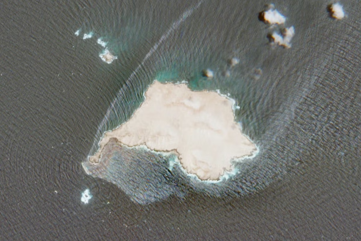
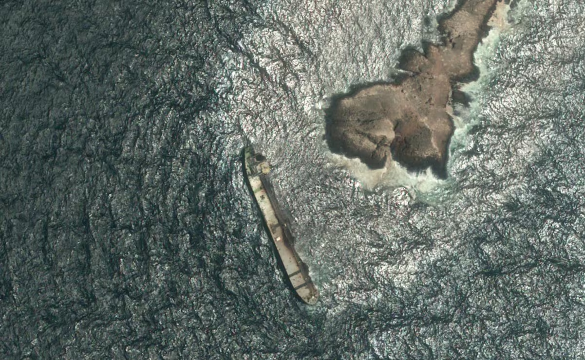
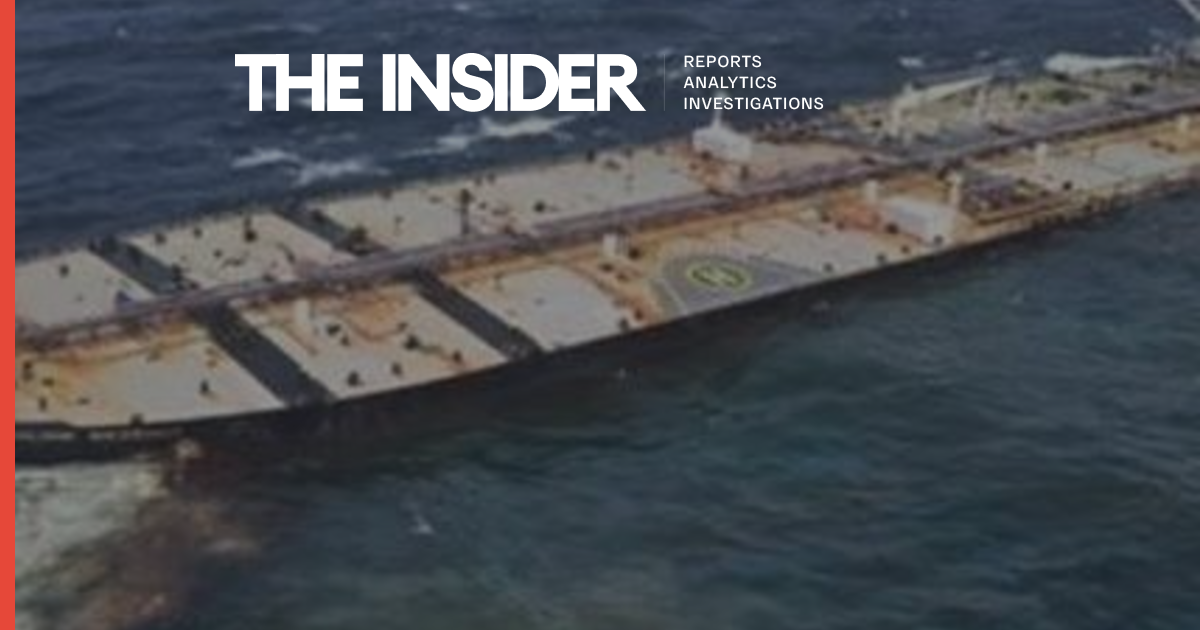
The oil spill affects a protected area that is host to endangered wildlife The affected area is part of the Arabian Sea reserve, a marine protected area and host to wildlife, including endangered petrels and the rare Arabian Sea humpback whale. The 247-meter (899-foot) Caroline Bezengi has been grounded off Qibliyah Island in southwest Oman for two months. The tanker’s crew reported an explosion on board on June 8, according to media reports. It is believed to be part of Russia’s “shadow fleet” and has been sanctioned by the British government and the European Union for carrying Russian oil. It had left the Black Sea port of Novorossiysk, in Russia, in May, according to geospatial data tracking company SynMax Maritime. The vessel’s owners are believed to be Shanghai-based, according to Greenpeace and other reports. Satellite images dated Aug. 5 show an oil sheen trailing northeast of the tanker, aground off the rocky coastline, and surrounding the island. In the images, the vessel appears to be partly submerged, noticeably more so than on a photo taken on July 31. July and August are peak monsoon season in the area.