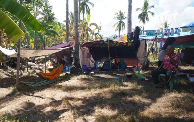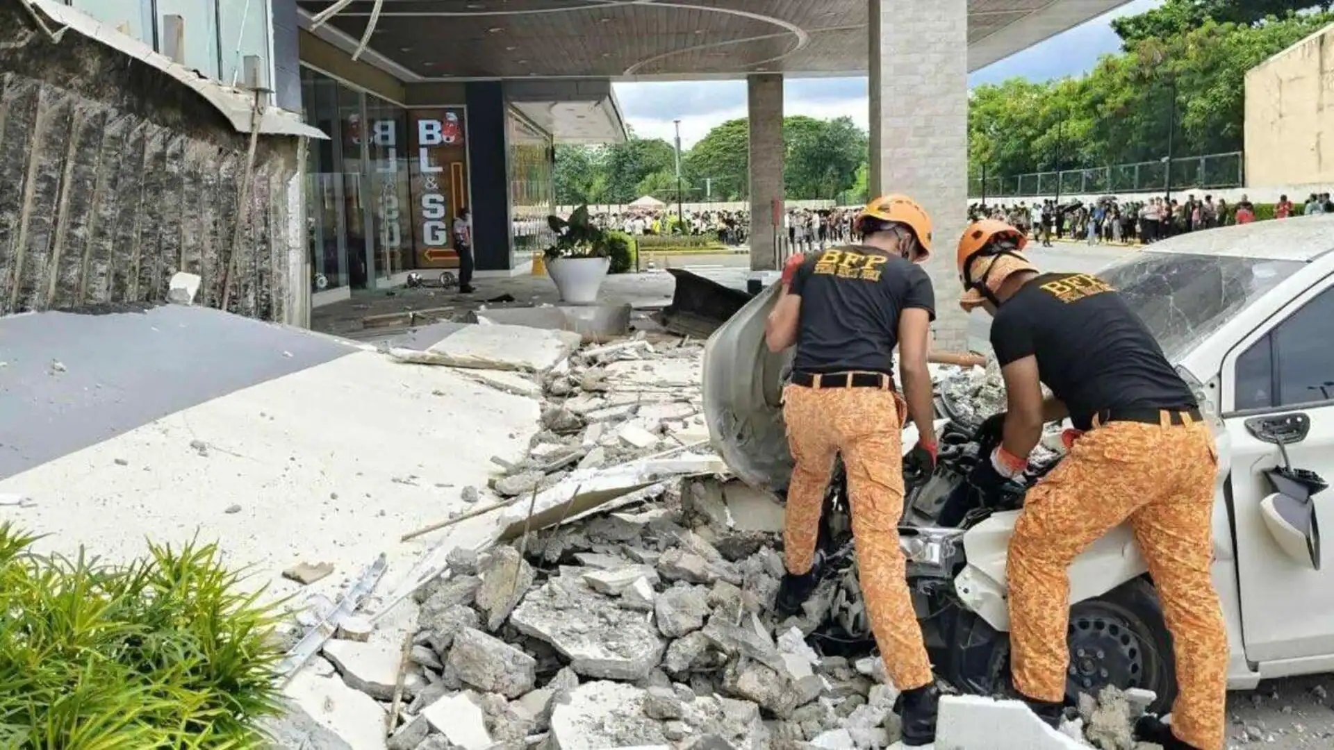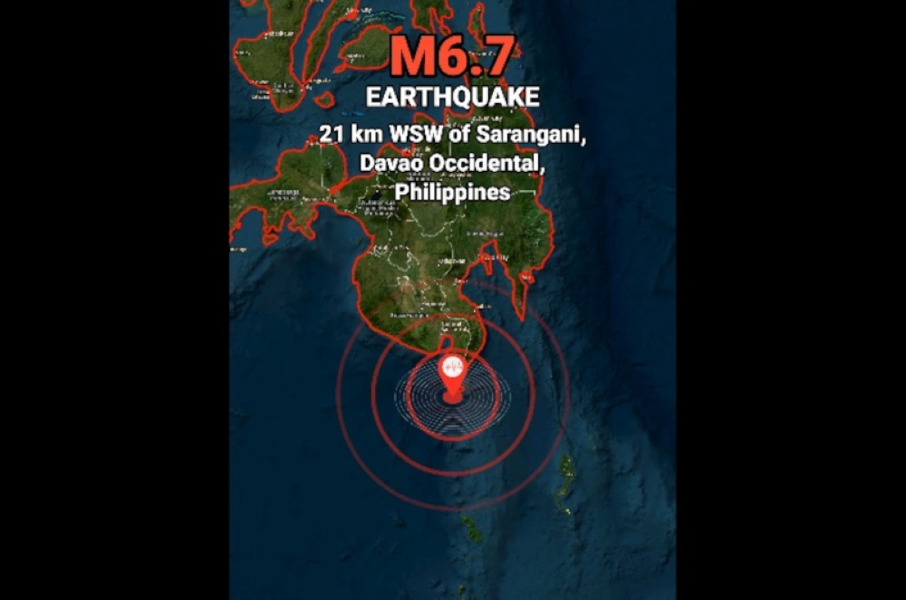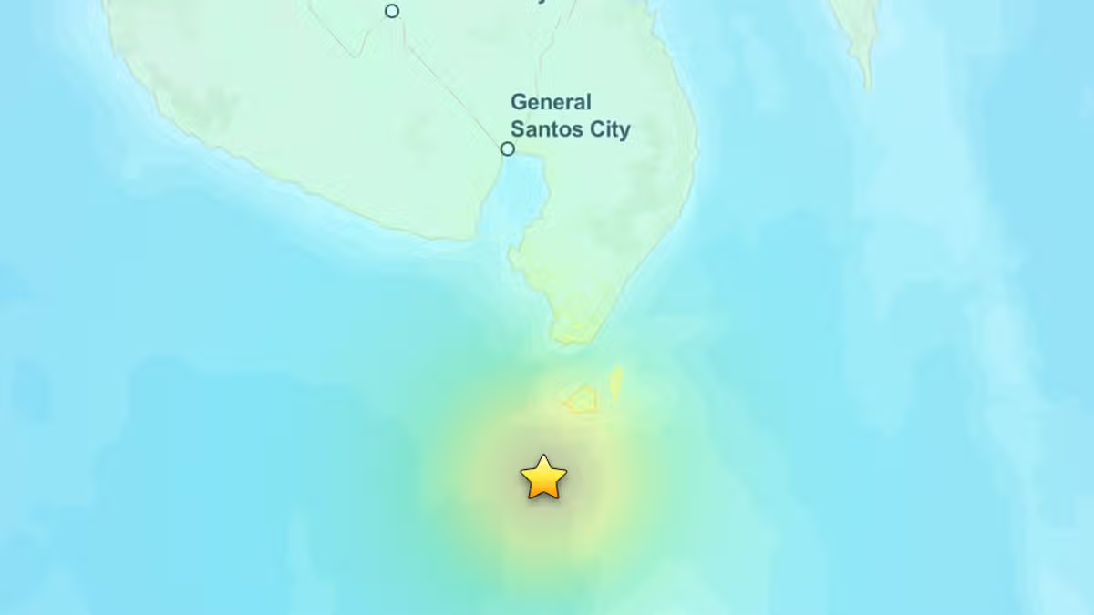
A magnitude 6.3 earthquake struck off the southern Philippines on Wednesday, with the United States Geological Survey (USGS) locating the tremor southwest of Sarangani Island.According to USGS data cited by Singapore-based CNA, the earthquake struck 32km southwest of Sarangani at 12:14 pm local time. The tremor did not trigger a tsunami warning. There were also no immediate reports of casualties or major damage.The German Research Centre for Geosciences (GFZ) also recorded the earthquake at magnitude 6.3, placing its depth at 10km (6.2 miles).The shaking was felt on Sarangani Island, where a large number of people had gathered to receive a government subsidy. Rescuer Harly Sauro told AFP, “The shaking was quite strong. I saw people in panic. They were running and shouting.”There were no immediate reports of casualties or structural damage following the quake, although authorities are expected to assess affected areas.The Philippines lies along the Pacific “Ring of Fire”, one of the world's most active seismic zones, where several major tectonic plates meet. The region experiences frequent earthquakes and volcanic activity.
Southern Philippines jolted by powerful 6.3-magnitude earthquake
A magnitude 6.3 earthquake struck off the southern Philippines on Wednesday, with the United States Geological Survey (USGS) locating the tremor southwest of Sarangani Island.
172 words~1 min read