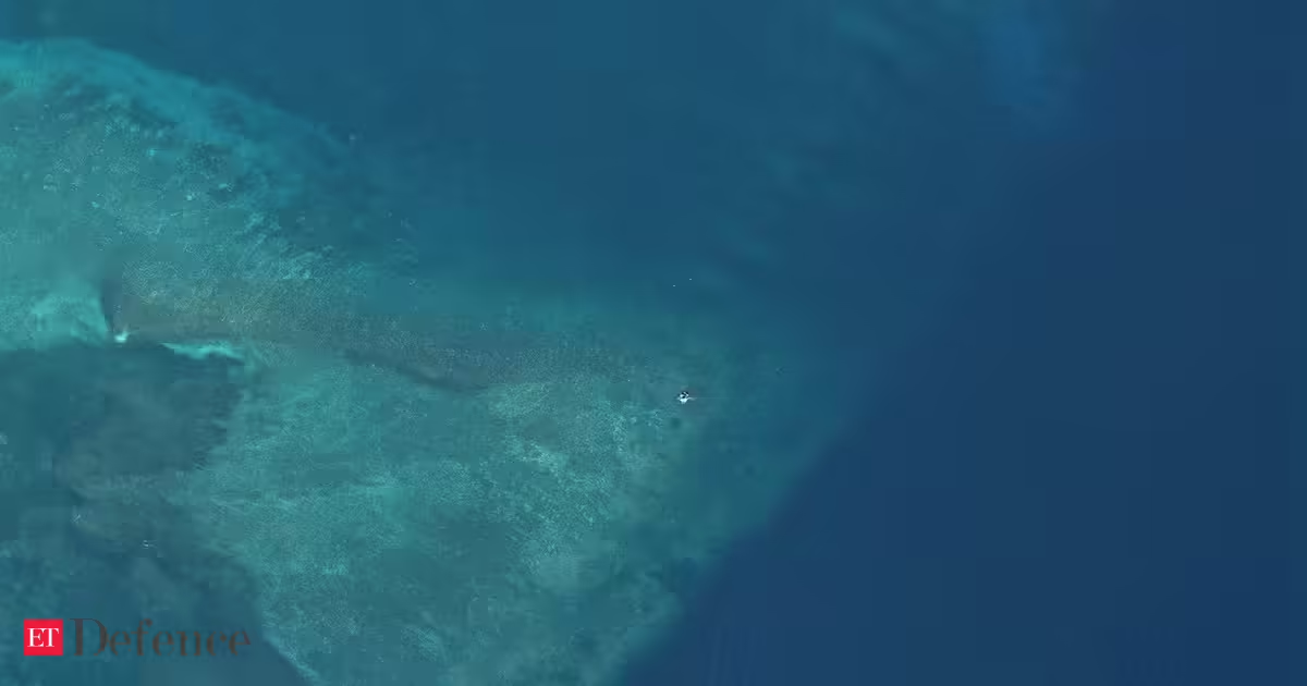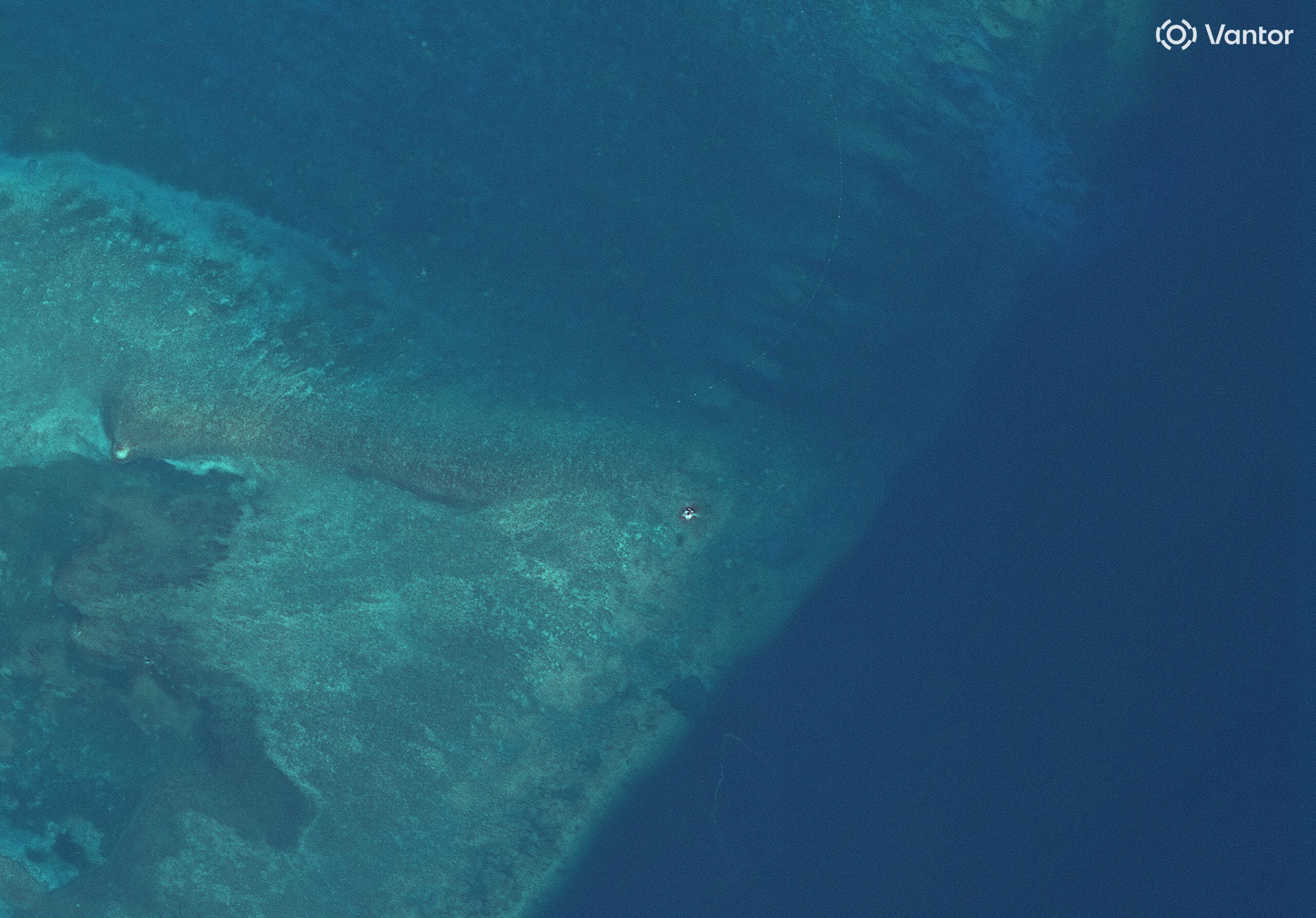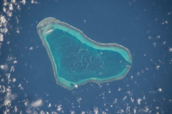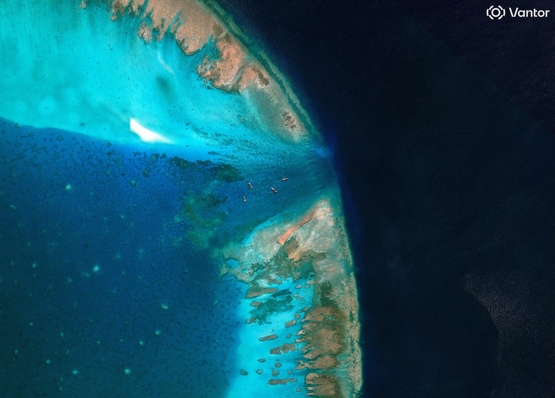
BLOCKED. A satellite image of fishing vessels at the entrance, which is blocked by a floating barrier, to the disputed Scarborough Shoal, in the South China Sea, April 11, 2026.
Vantor/Handout via Reuters
China has controlled access to the shoal since 2012, following a tense standoff between Manila and Beijing
MANILA, Philippines — The Philippines on Wednesday, July 29 (in New York) submitted before the United Nations its official nautical chart of Bajo de Masinloc (Scarborough Shoal), feature in the West Philippine Sea that’s been controlled by China since 2012.
Depositing the Philippines’ official nautical chart of the high-tide elevation, said the Department of Foreign Affairs (DFA), “ensures that its official maritime information forms part of the public international record.”