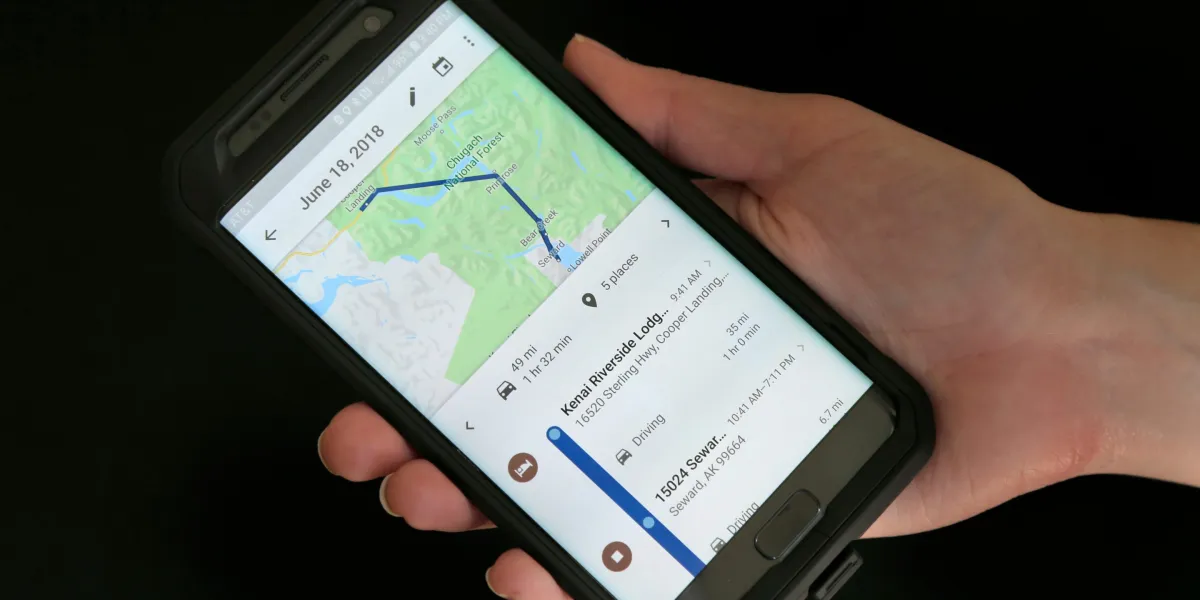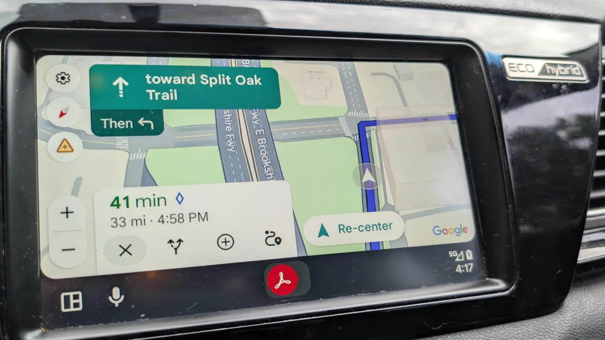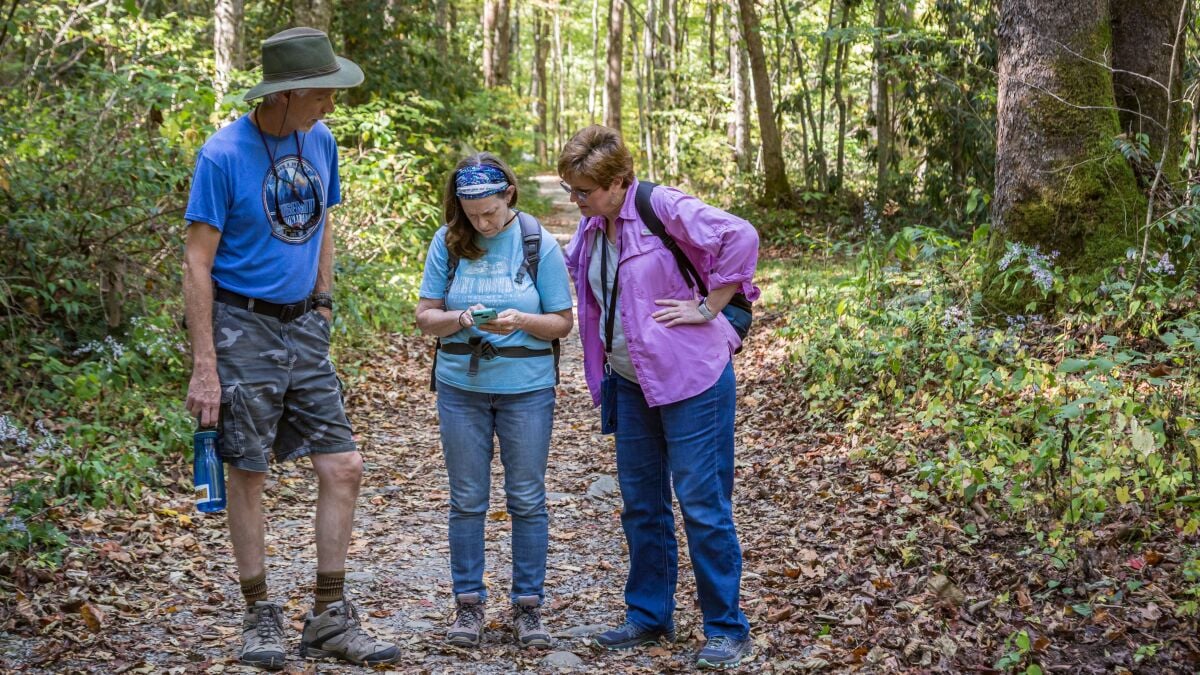
Google Maps recently launched its biggest upgrade in years, filled to the brim with Gemini-powered features like Ask Maps and immersive, 3D navigation — it can recommend the best parking spots and suggest the top spots to check out while you travel around the world. But even with all of AI's help, the digital map still lacks in one area: Outdoor navigation.
A group of teenagers hiking Canada's Howe Sound Crest Trail in British Columbia recently found that out the hard way. The group, made up of 17-year-old novice hikers, was evacuated by local search-and-rescue teams after trusting a five-hour walk estimate from Google Maps.
You May Also Like
Experienced hikers would have caught the app's mistake and come more prepared than the teens — Howe Sound Crest is an 18-mile hike with a 6,000-foot elevation gain, and is considered a two-day trip for beginners. But the novice hiker, relying solely on the map estimate, may not know its limitations. Why is Google Maps not recommended for hiking? On city roads, Google Maps combines live traffic estimates with historic averages, posted speed limits, tolls, and other street data to generate the most accurate travel time for a standard vehicle. With integrations across the transportation landscape, it's fairly accurate. For walking, the process is a little more complex — humans and natural landscapes, obviously, are hard to standardize into an algorithm. The app uses an average human walking speed that might not match your own, and while it will adjust that time based on elevation, it won't account for important things like trail terrain or type.