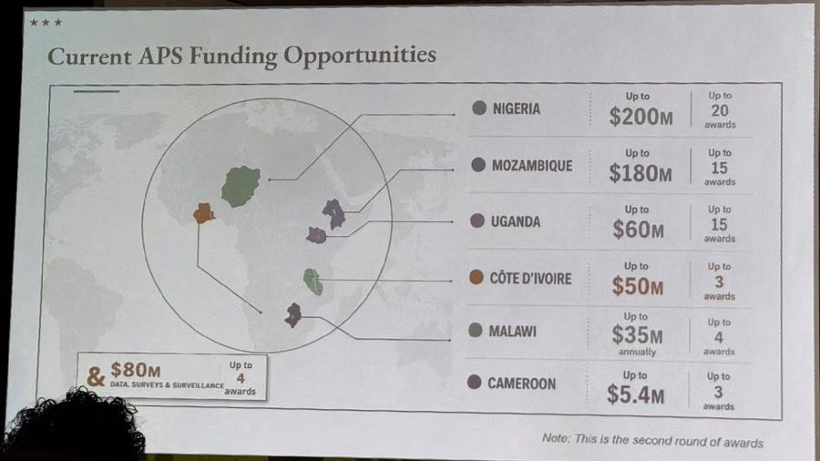
The US State Department on Thursday said its use of a map that incorrectly labeled all the countries it identified on a map of Africa at an international conference this week was “an unfortunate error.”
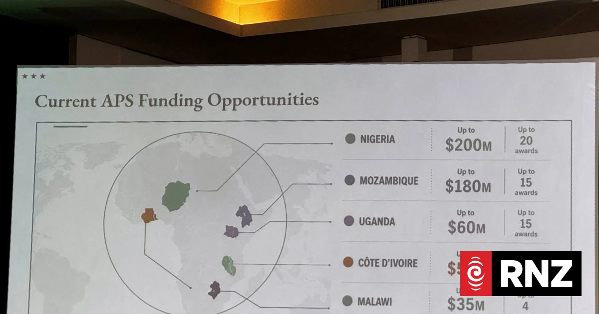
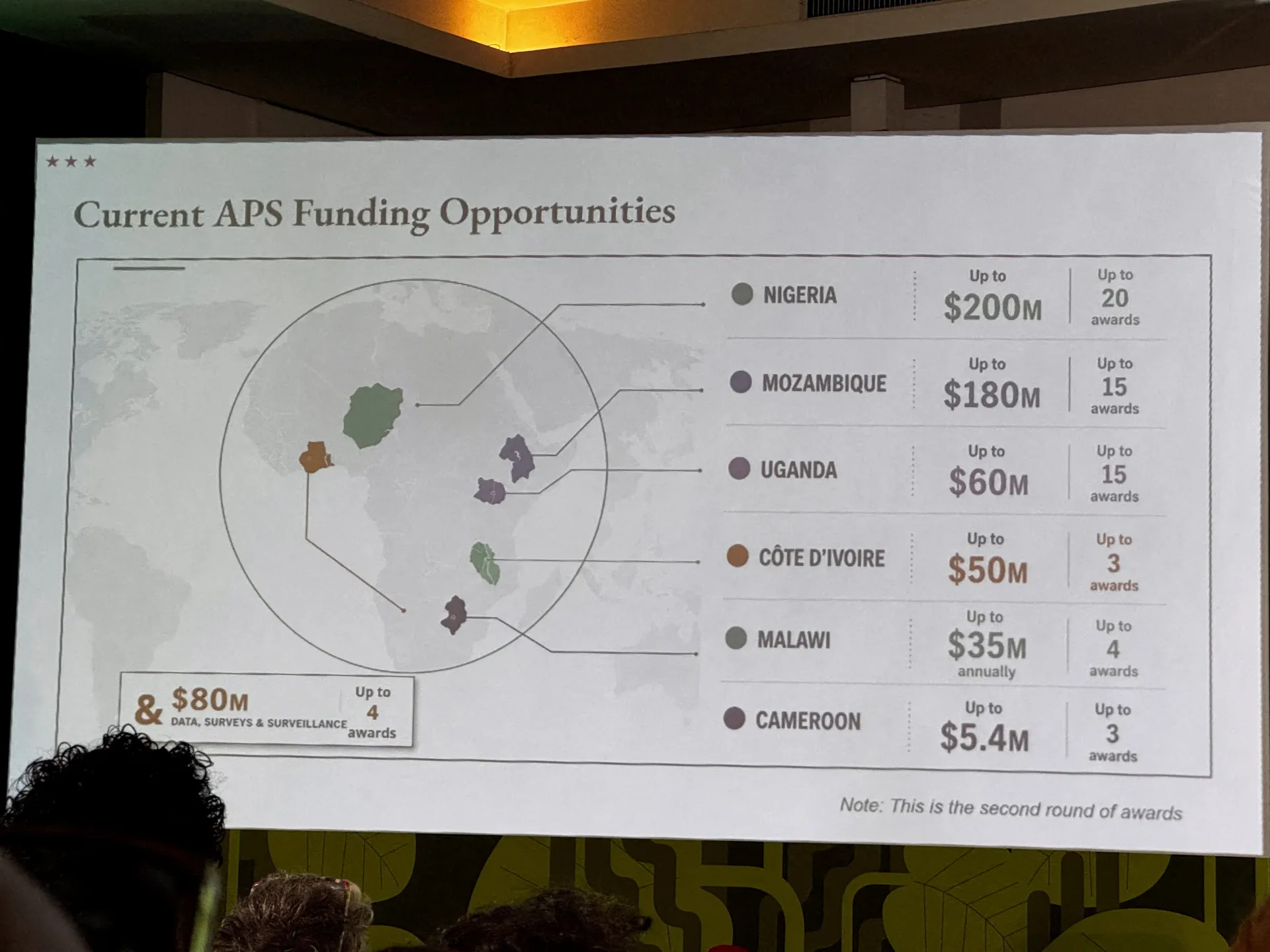
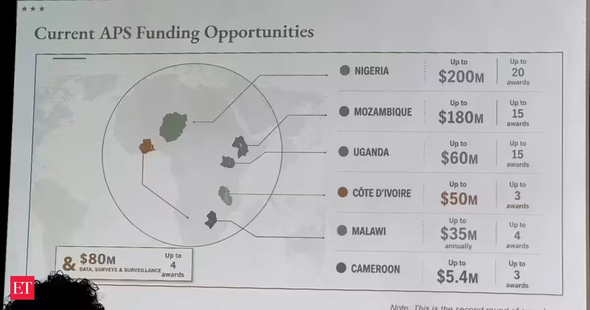
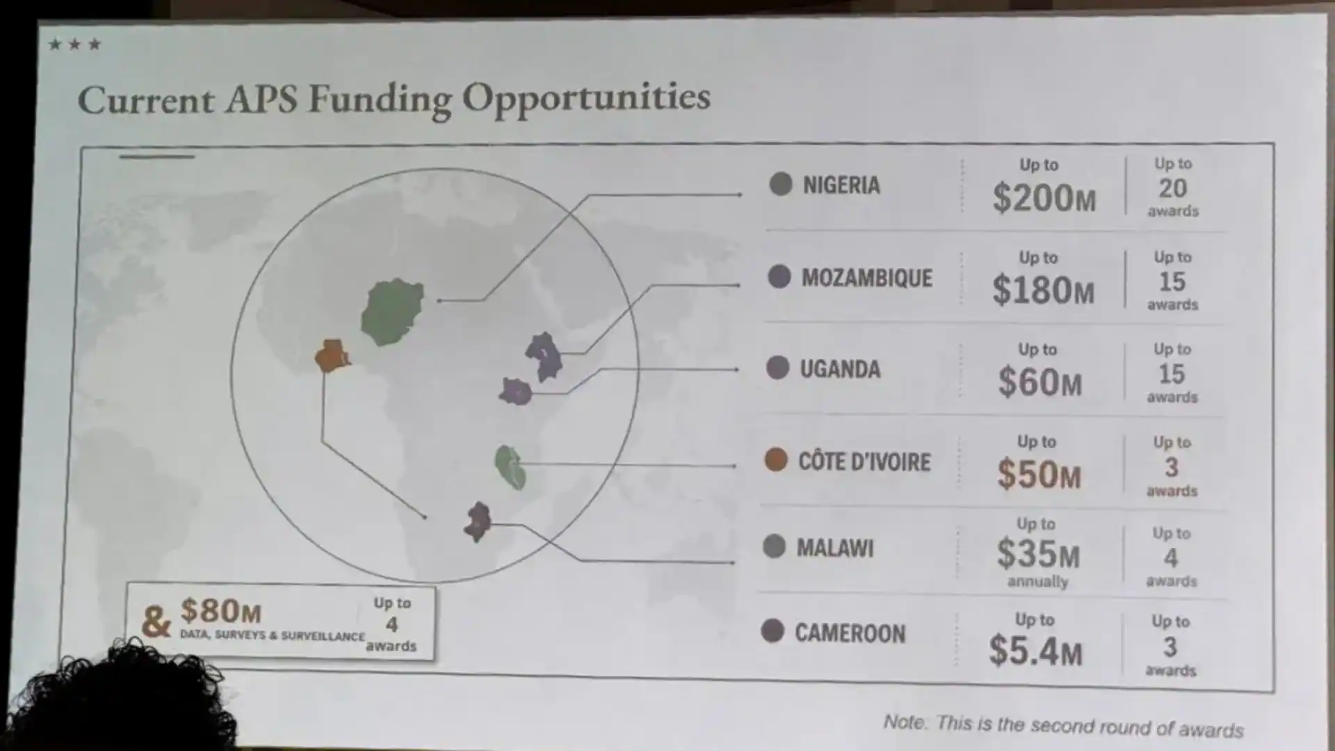
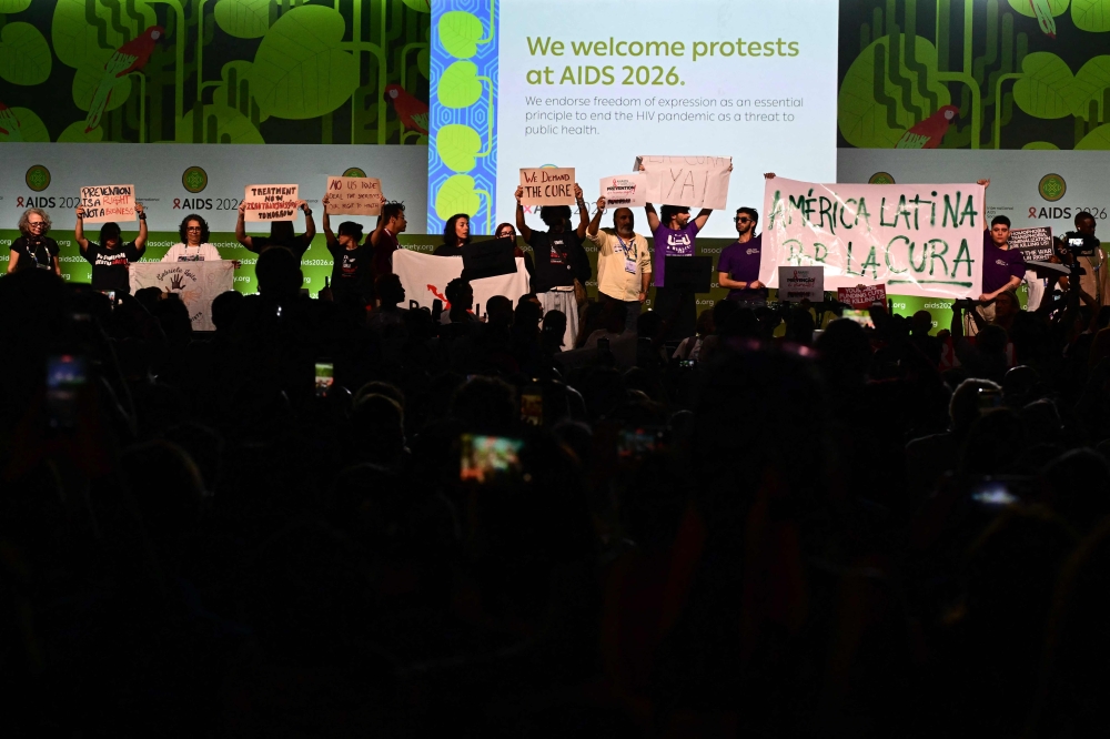
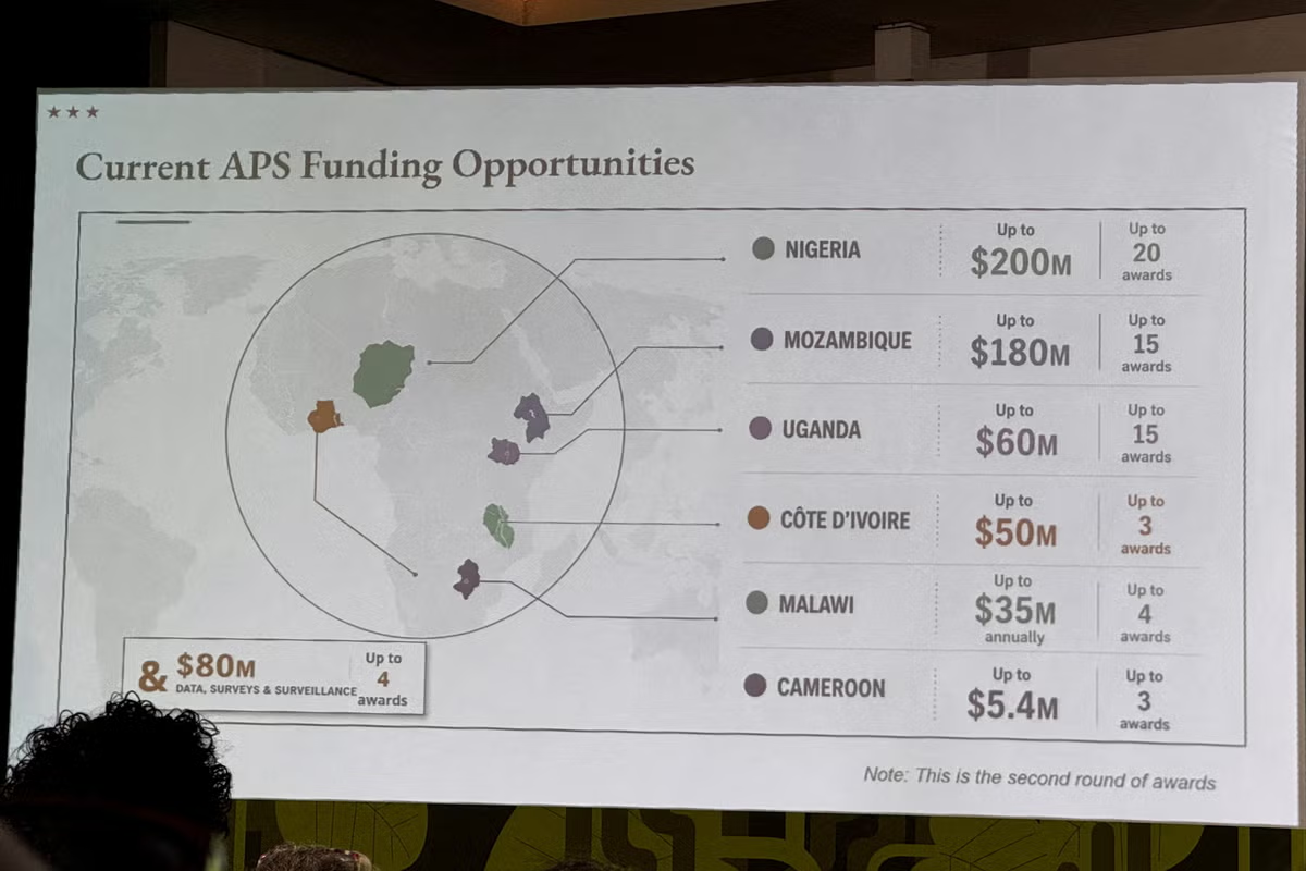
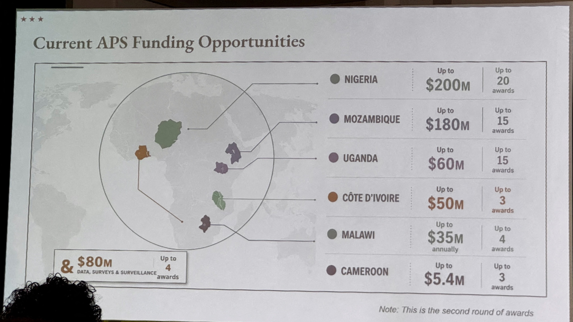
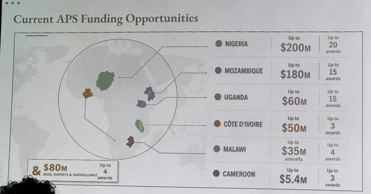
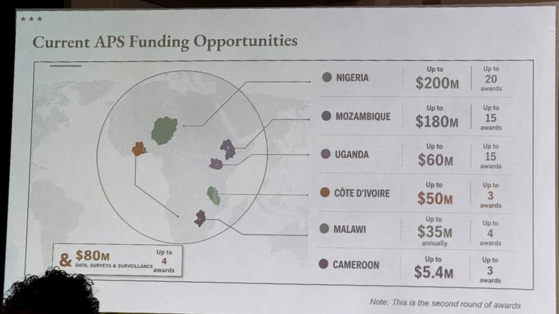
The map was shown during an event at the AIDS 2026 conference in Rio de Janeiro. It highlighted six countries on the continent: Nigeria, Mozambique, Uganda, Cote d’Ivoire, Malawi, and Cameroon. Not one of them was correctly identified by lines pointing from the names to the positions on the map. It showed coastal Nigeria as landlocked. Mozambique, which is in the southeast of the continent, was shown in the Horn of Africa. Cote d’Ivoire was shown on the wrong side of the continent.
A photo of the errant map was shared in a Substack post from AIDS expert Emily Bass. According to an analysis from Reuters, the map contained “an artificial intelligence watermark that signals it was made with OpenAI tools.”
A State Department spokesperson said Thursday that “this was an unfortunate error caused by a team member who hastily altered the slide deck immediately before the presentation at the AIDS 2026 Conference.”
“We take full responsibility for the confusion and misrepresentation it caused for attendees, including our African partners,” the spokesperson said.