Show Caption
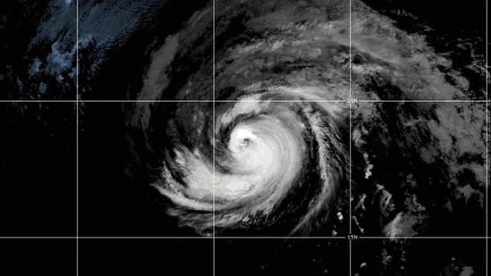
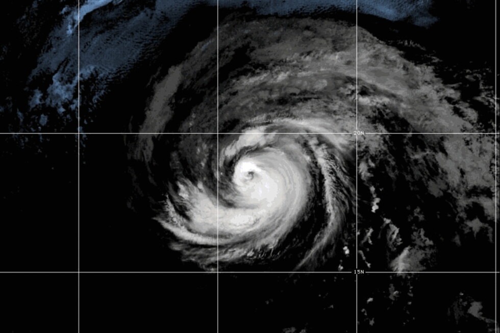
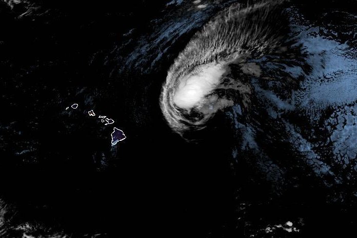
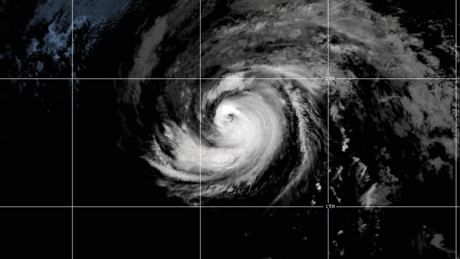
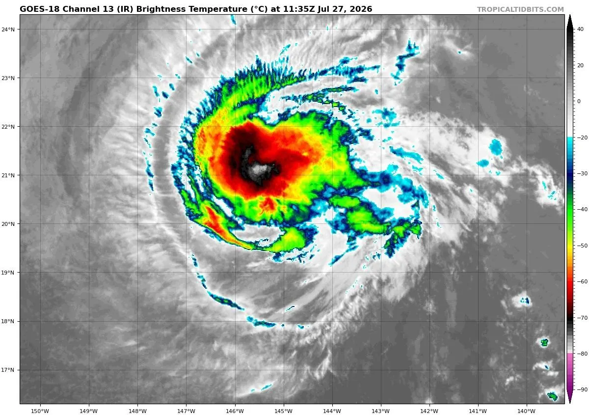
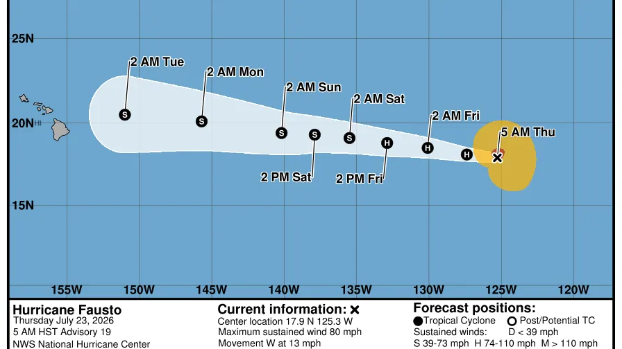
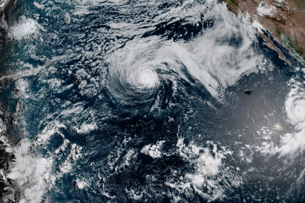
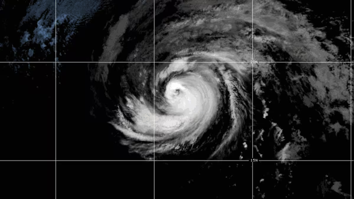
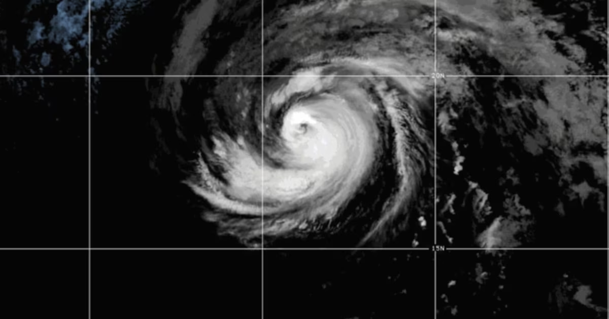
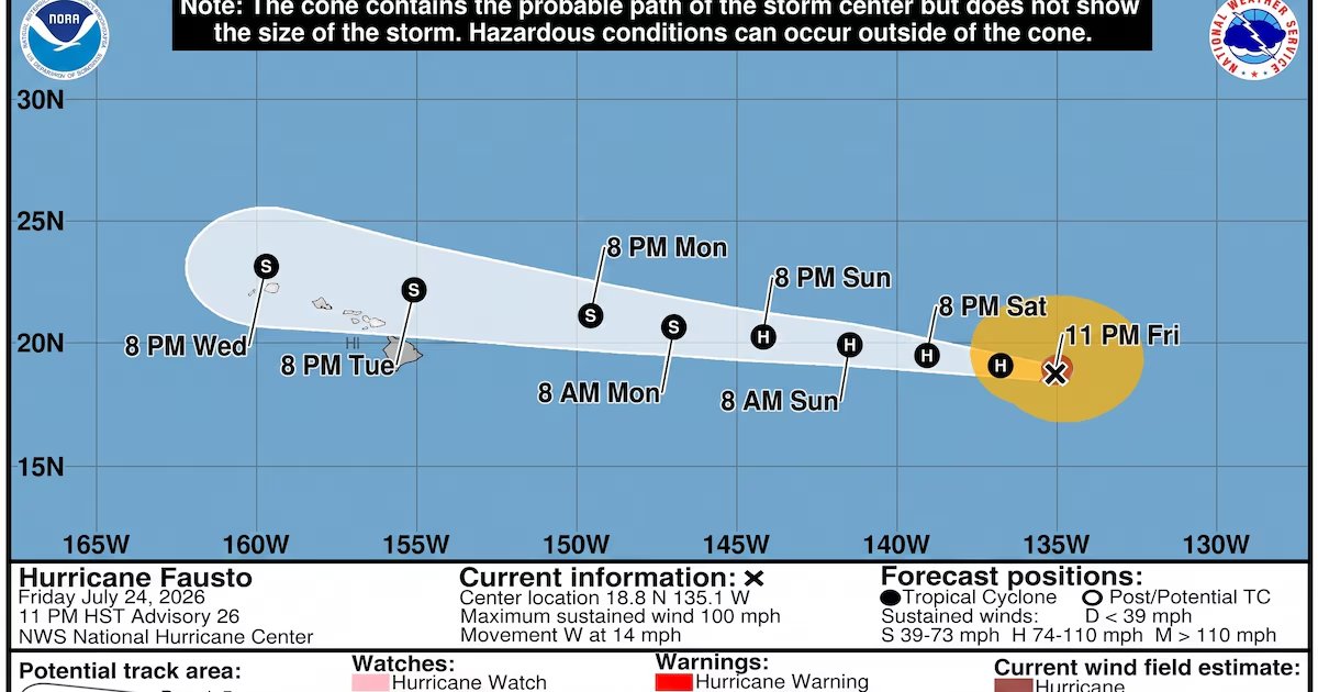
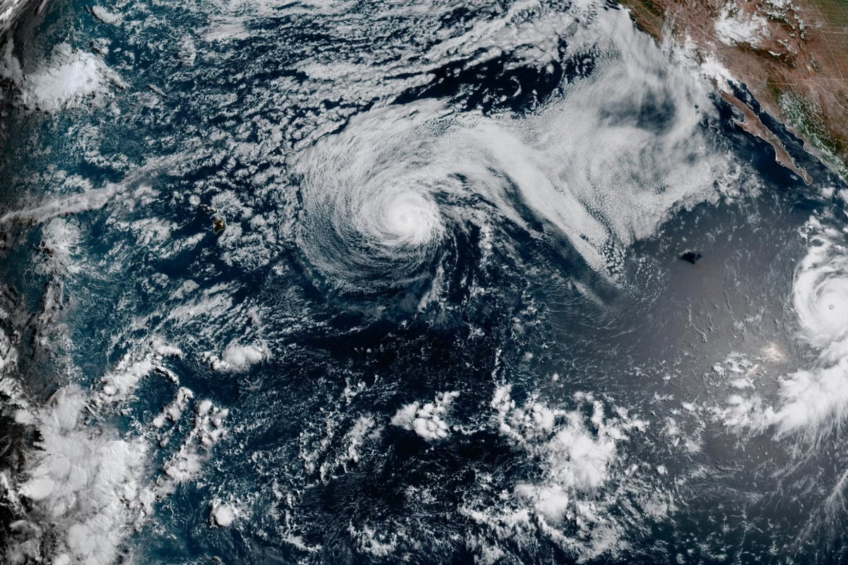
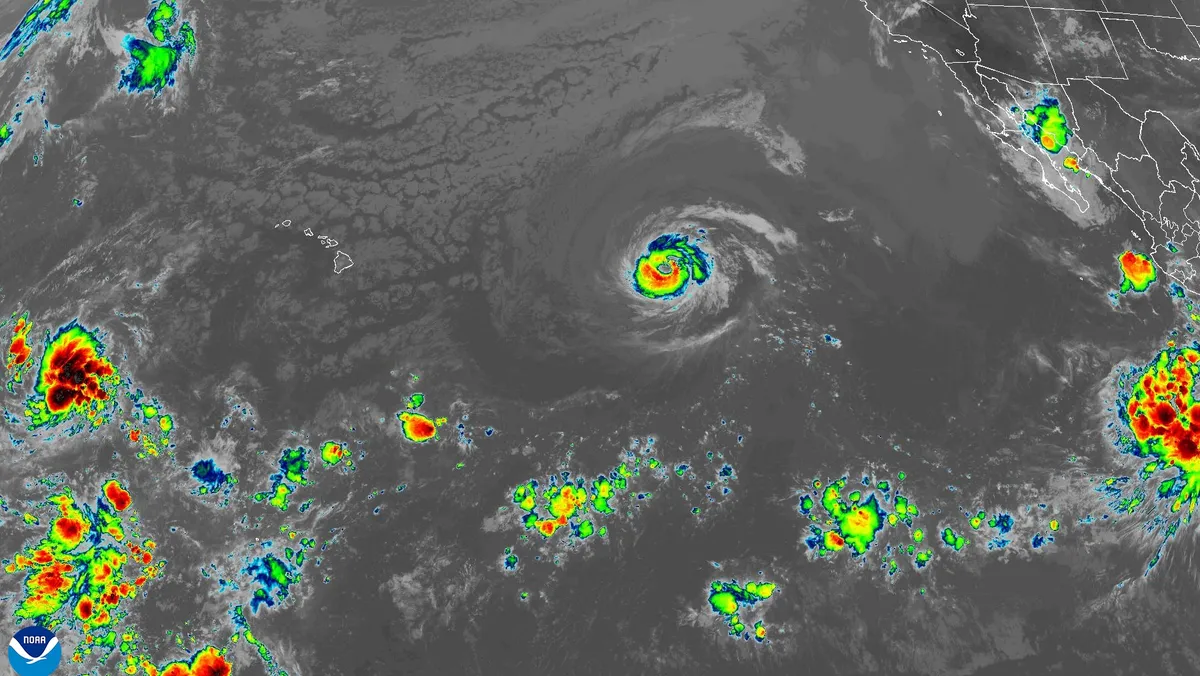
Several Hawaiian islands, including Maui, Molokai, Oahu and Kauai, have been included in the forecast cone graphics from the National Hurricane Center for Category 2 Hurricane Fausto.Fausto was about 1,300 miles east of Hilo, Hawaii, with 100 mph winds on the morning of July 25. It's one of three systems federal forecasters are watching in the eastern and central Pacific Ocean.Tropical Storm Genevieve formed on July 24 and is the seventh storm of the 2026 hurricane season in the Eastern Pacific. A third area of disturbed weather is likely to become a tropical storm in the Western Pacific as it moves westward over the next five days, the center said.The already-weakening Fausto is expected to be downgraded to a tropical storm on July 27 before it approaches the Hawaiian Islands, and the hurricane center's forecast map suggested that the center of the storm could move just north of the islands.However, "uncertainty remains regarding its exact track and intensity," the hurricane center said. "A track farther south would result in a greater risk of stronger winds and heavier rainfall."Hawaii's emergency management agency said in a social media post that it is monitoring the system. The islands could see damaging winds and heavy rainfall as early as Monday night, July 27, the agency stated. Residents were advised to review family emergency management plans, including how to communicate and what supplies to have ready.Confidence is high that Fausto's swells will reach the islands well in advance of the center of the storm – as early as Sunday on the eastern end of the state – increasing surf and dangerous rip currents, the forecast stated. The current forecast track listed the probability of the islands experiencing tropical storm-force winds at 5% to 10%.The hurricane center's tropical analysis and forecast branch on Friday said seas near the center of Fausto were an estimated 36 feet.Genevieve expected to rapidly intensifyMuch farther to the East, Tropical Storm Genevieve formed on July 24 and is forecast to be a major hurricane with winds of more than 111 mph by July 27.Genevieve's swells are expected to arrive along portions of Mexico's southwest coast over the weekend and reach the southern extent of the Baja California Peninsula on the 27th, creating "life-threatening surf and rip current conditions."El Niño strengthens in the PacificHurricane seasons during El Niño years typically produce more storm activity than normal in the Pacific. The National Oceanic and Atmospheric Administration confirmed an El Niño in June and said in a May seasonal outlook that it expected an above-normal season in the Eastern Pacific. The outlook calls for 15-22 named storms, including 9-14 hurricanes, of which 5-9 could become major hurricanes.Sea surface temperatures in much of the region are warmer than normal, a classic El Niño signature.Dinah Voyles Pulver, a national correspondent for USA TODAY, writes about violent weather, climate change and other news. Reach her at dpulver@usatoday.com or @dinahvp on Bluesky or X or dinahvp.77 on Signal.