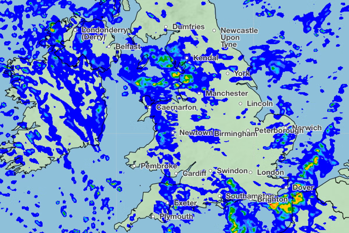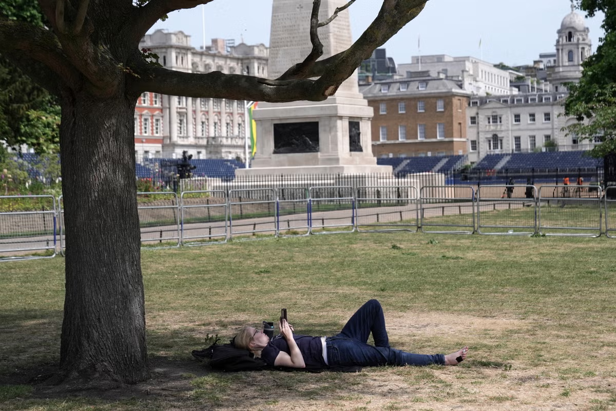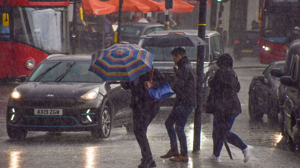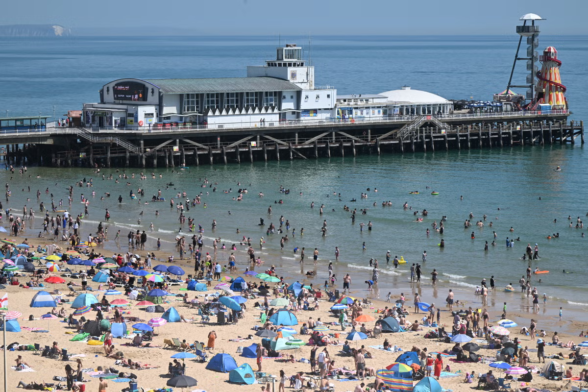
Jump to contentThank you for registeringPlease refresh the page or navigate to another page on the site to be automatically logged inPlease refresh your browser to be logged inAllNewsSportCultureLifestyleFollowing three consecutive heatwaves, the driest spring on record, and widespread hosepipe bans, the Met Office has forecast a spell of "much-needed" rain and potential thunder across the UK. Showers are expected to commence in Scotland, Wales, and Northern Ireland on Saturday evening, before spreading across the rest of the country on Sunday, with some regions like Manchester and Birmingham potentially experiencing up to 32mm of rainfall per hour. Met Office chief forecaster Steve Willington indicated that a weak weather front will move south, initially bringing light rain to the North and West, followed by potentially heavy and thundery showers. Despite the impending rainfall, Met Office deputy chief forecaster Greg Wolverson cautioned that the precipitation is unlikely to be widespread or substantial enough to significantly alleviate the prevailing dry conditions, especially in southern England. This forecast comes after a record-breaking June, which saw over 150 weather stations record new highest maximum temperatures, including a national record of 37.7C, and eight water providers, including Thames Water, implement hosepipe bans. In fullRain to finally hit parts of the UK after dry spell and heatwavesMore bulletinsThank you for registeringPlease refresh the page or navigate to another page on the site to be automatically logged inPlease refresh your browser to be logged in
When it will finally rain as Met Office forecasts heavy downpours for parts of UK
Jump to contentThank you for registeringPlease refresh the page or navigate to another page on the site to be automatically logged inPlease refresh your browser to be logged inAllNewsSportCultureLifestyleFollowing three consecutive heatwaves, the driest spring on record, and widespread hosepipe bans, the Met Office has forecast a spell of "much-needed" rain and potential thunder across the UK. Showers are expected to commence in Scotland, Wales, and Northern Ireland on Saturday evening, before spreading across the rest of the country on Sunday, with some regions like Manchester and Birmingham potentially experiencing up to 32mm of rainfall per hour. Met Office chief forecaster Steve Willington indicated that a weak weather front will move south, initially bringing light rain to the North and West, followed by potentially heavy and thundery showers. Despite the impending rainfall, Met Office deputy chief forecaster Greg Wolverson cautioned that the precipitation is unlikely to be widespread or substantial enough to significantly alleviate the prevailing dry conditions, especially in southern England. This forecast comes after a record-breaking June, which saw over 150 weather stations record new highest maximum temperatures, including a national record of 37.7C, and eight water providers, including Thames Water, implement hosepipe bans. In fullRain to finally hit parts of the UK after dry spell and heatwavesMore bulletinsThank you for registeringPlease refresh the page or navigate to another page on the site to be automatically logged inPlease refresh your browser to be logged in