If you’ve ever wondered whether drones can do more than capture stunning mountain footage, DJI’s latest Mount Everest case study offers a pretty compelling answer.
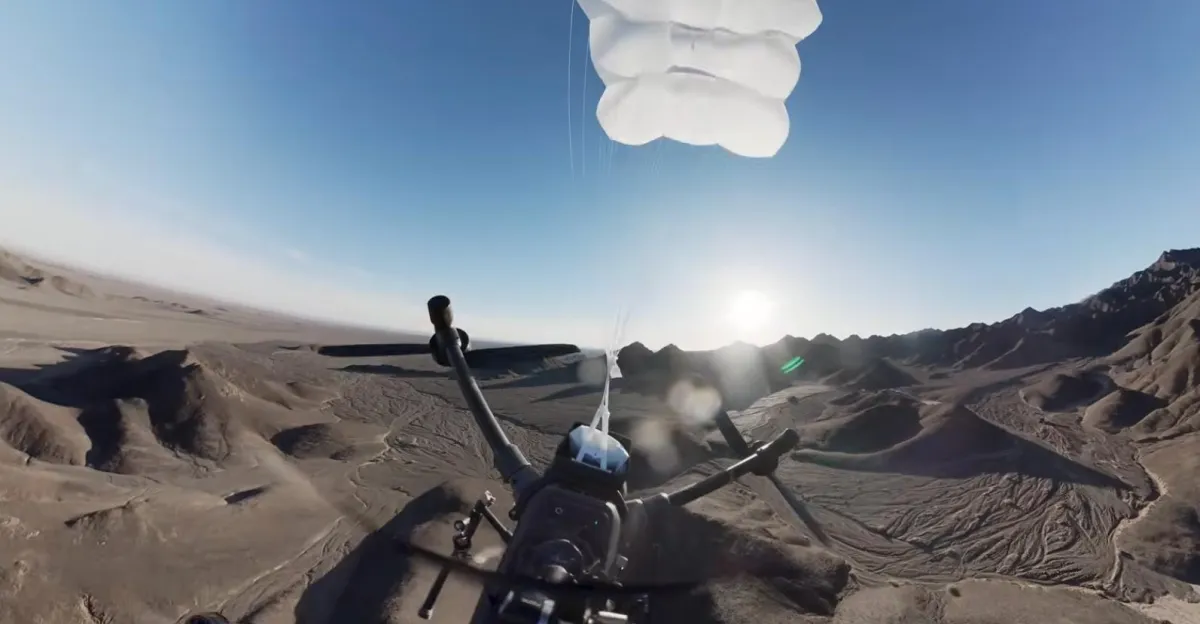
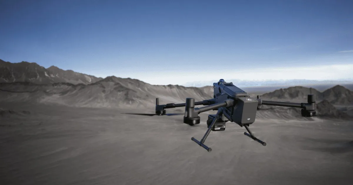
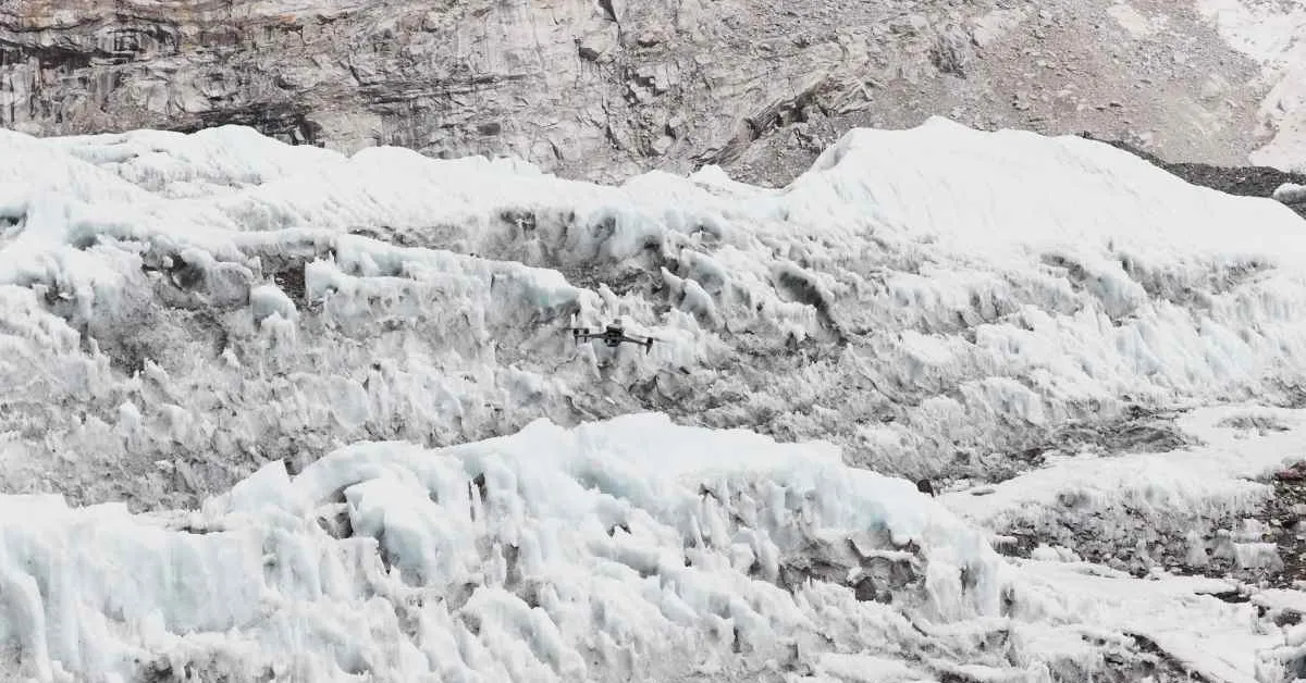
The company has released new footage showing how Nepal-based Airlift Technology used the DJI Matrice 4E and DJI Terra to map the notorious Khumbu Icefall during the 2026 Everest climbing season. The project wasn’t just about creating beautiful aerial imagery. It gave the Sherpas responsible for opening Everest’s climbing route a detailed 3D map of one of the world’s most dangerous landscapes, before anyone had to step onto the ice.
For anyone attempting to summit Mount Everest from the Nepal side, the Khumbu Icefall is unavoidable. Stretching between Everest Base Camp at about 17,600 feet (5,364 meters) and Camp 1 at roughly 21,300 feet (6,500 meters), the constantly shifting glacier is filled with deep crevasses, unstable towers of ice known as seracs, and massive blocks that can collapse without warning.
Every climbing season, specially trained Sherpas known as “Icefall Doctors” cross this dangerous terrain on foot to install ladders and ropes that thousands of climbers will later rely on. Traditionally, that process has involved days — or even weeks — of navigating unstable ice while searching for the safest route. This year, drones changed that workflow.