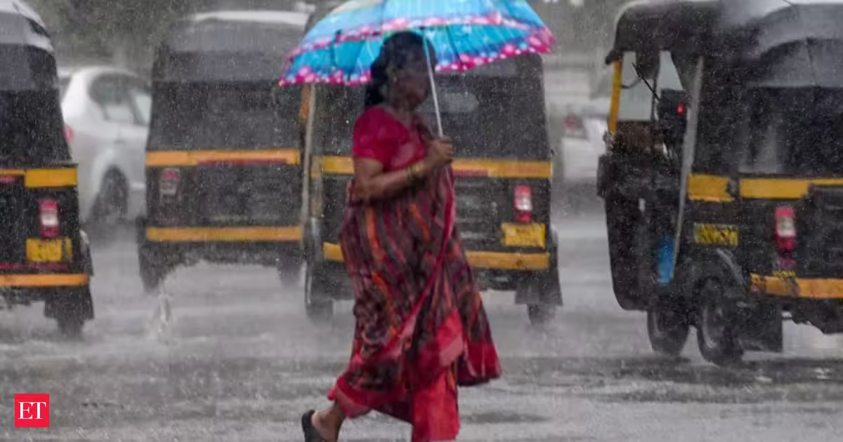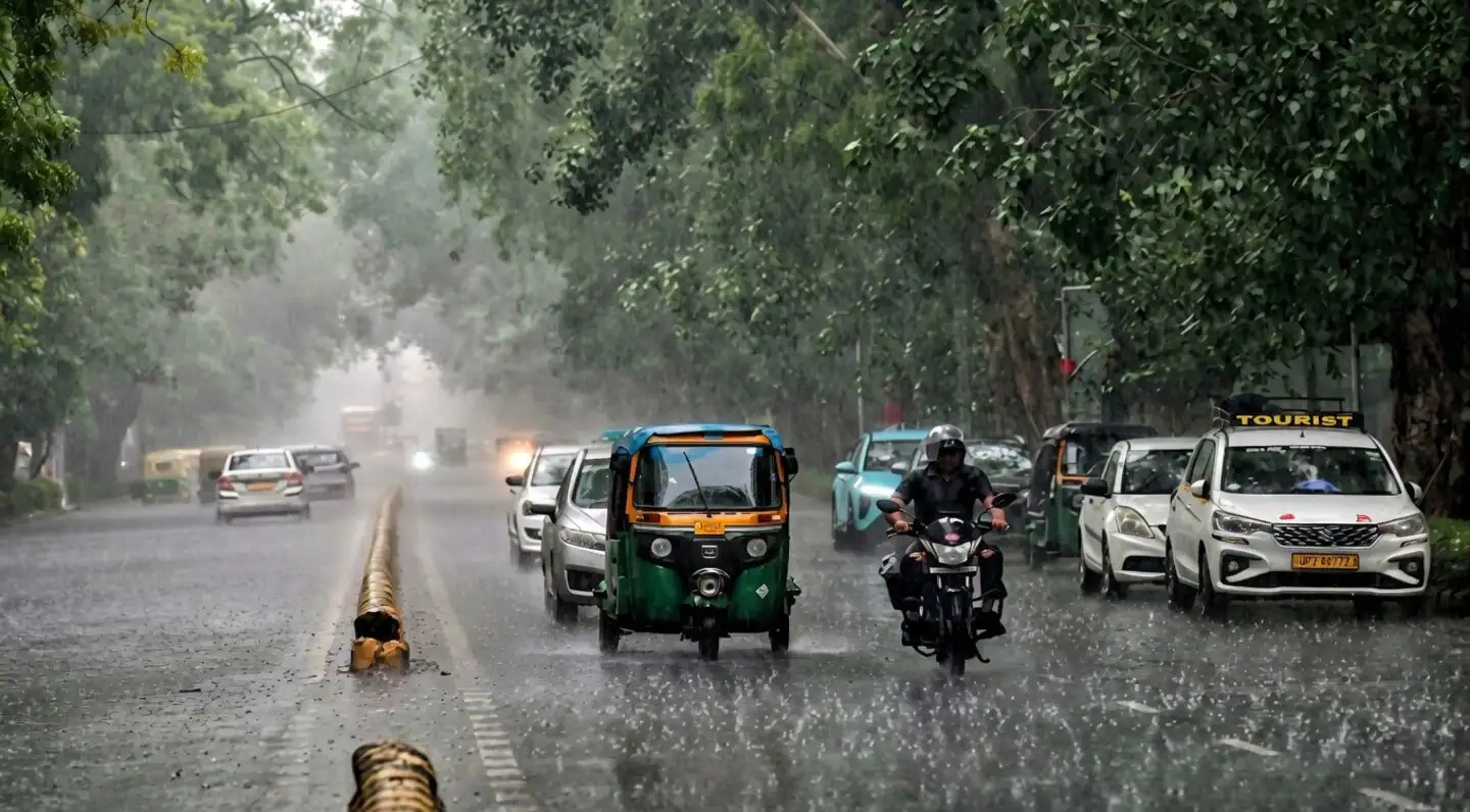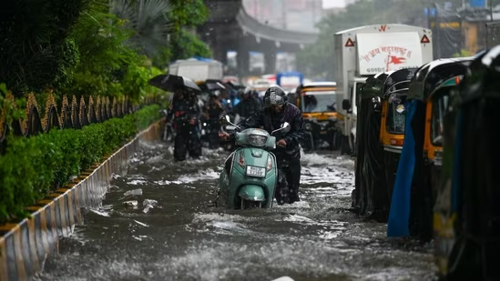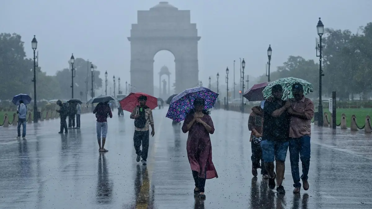
Lucknow, The India Meteorological Department (IMD) on Monday issued a red alert for parts of Uttar Pradesh, warning of "extremely heavy rainfall" in several districts over the next 24 hours as monsoon activity intensifies across the state.According to the regional meteorological centre in Lucknow, widespread monsoon activity triggered by a strengthened monsoon flow from the Bay of Bengal is expected to persist over the coming days, with heavy to very heavy rain likely across large parts of the state.The red alert will remain in force for Monday, while a yellow alert has been issued for parts of southern Uttar Pradesh from July 21 to July 25, it said.The weather office has forecast very heavy to extremely heavy rainfall in Balrampur, Shravasti, Bahraich, Lakhimpur Kheri, Kasganj, Etah, Rampur, Bareilly, Pilibhit, Shahjahanpur, Sambhal and Budaun districts and adjoining areas on Monday.Heavy to very heavy rainfall is also likely in Ghazipur, Azamgarh, Mau, Ballia, Deoria, Gorakhpur, Sant Kabir Nagar, Basti, Kushinagar, Maharajganj, Siddharthnagar, Gonda, Sitapur, Hardoi, Farrukhabad, Kannauj, Kanpur Dehat, Barabanki, Ayodhya, Ambedkar Nagar, Saharanpur, Hathras, Agra, Firozabad, Mainpuri, Etawah, Auraiya, Bijnor, Amroha, Moradabad and Jalaun, the Met office said.The weather office has also warned of heavy rainfall in Prayagraj, Pratapgarh, Sonbhadra, Mirzapur, Chandauli, Varanasi, Sant Ravidas Nagar, Jaunpur, Kanpur Nagar, Unnao, Lucknow, Rae Bareli, Amethi, Sultanpur, Shamli, Muzaffarnagar, Meerut, Hapur, Bulandshahr, Aligarh, Mathura, Hamirpur, Mahoba, Jhansi and Lalitpur.Thunderstorms accompanied by lightning are likely at isolated places across most parts of the state during the period, it said, advising residents in vulnerable areas to remain alert.The weather office said temperatures are likely to remain below normal over the next two to three days, providing relief from humid conditions due to the widespread rainfall.The IMD forecast widespread rainfall with thunderstorms across almost all divisions of eastern and western Uttar Pradesh on Monday and Tuesday. While the intensity of rainfall is expected to gradually reduce thereafter, heavy rain is likely to continue at isolated places in both regions till July 24.The weather office said the active monsoon conditions have been caused by the weakening of a low-pressure system over the Bay of Bengal and a strengthening of the monsoon current over north India.Despite the recent spell of rain, Uttar Pradesh has recorded 204.2 mm rainfall so far this monsoon, against the normal 266.2 mm, leaving the state with an overall rainfall deficit of 23 per cent. Eastern Uttar Pradesh has recorded a 33 per cent deficit, while western Uttar Pradesh has received 214 mm rainfall against the normal 226.8 mm, a deficit of 6 per cent, according to IMD data updated till July 20.During the 24 hours ending at 8.30 am on Monday, the highest rainfall in the state was recorded at Bardahi (Bareilly) with 174 mm, followed by Musmari (Bijnor) 160 mm, Kalinagar (Rampur) 152.4 mm and Pawayan (Shahjahanpur) 150.3 mm, the IMD said.
IMD issues red alert for extremely heavy rain in parts of UP; warns of widespread monsoon activity till July 24
The India Meteorological Department issued a red alert for Uttar Pradesh. Extremely heavy rainfall is expected across several districts over the next 24 hours. Widespread monsoon activity will persist across the state for several days. Temperatures are expected to remain below normal, providing relief from humidity.
470 words~2 min read