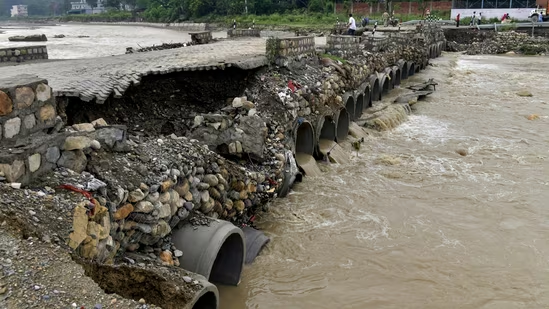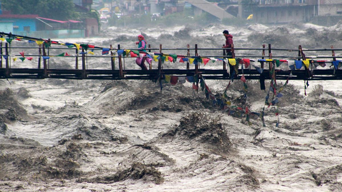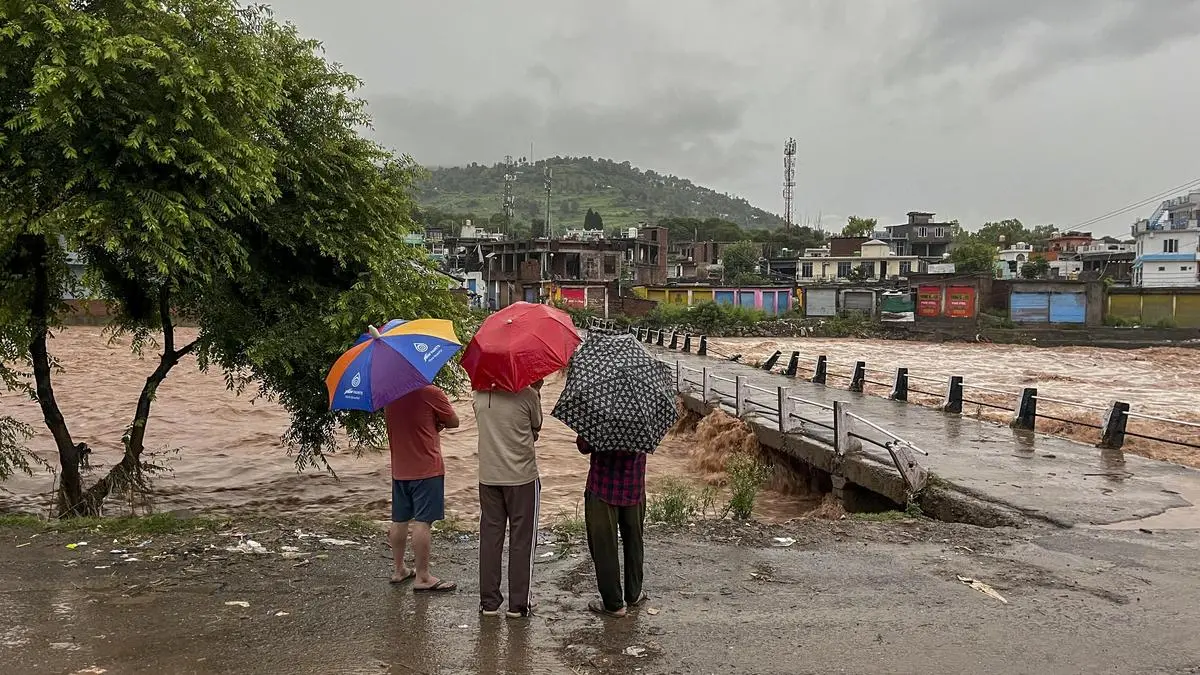
Mendhar: People watch the swollen Mendhar river flowing above the danger level following heavy rains, in Mendhar, Poonch district, Jammu and Kashmir, Monday, July 20, 2026
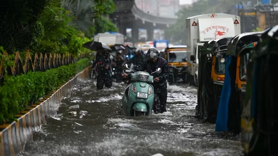
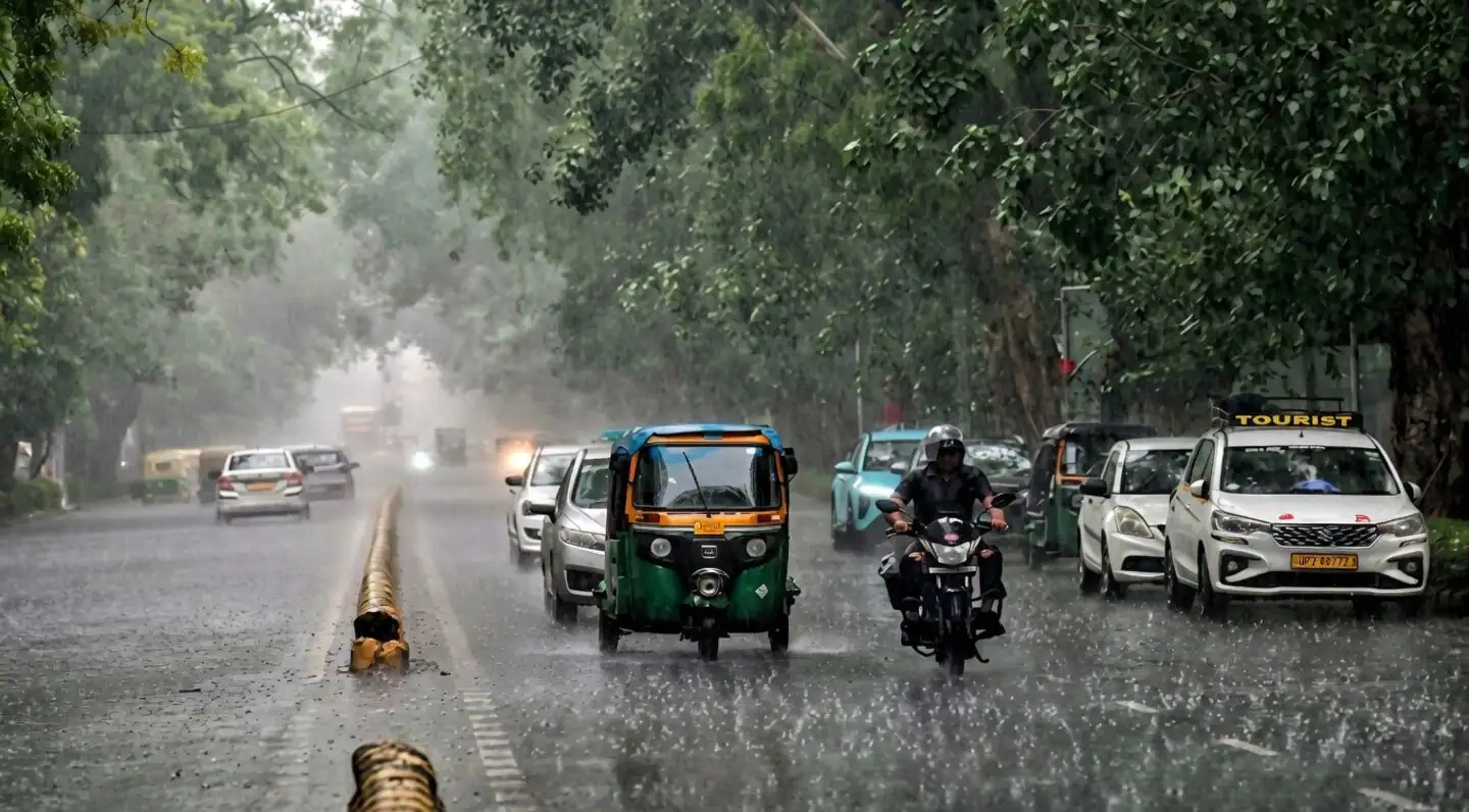
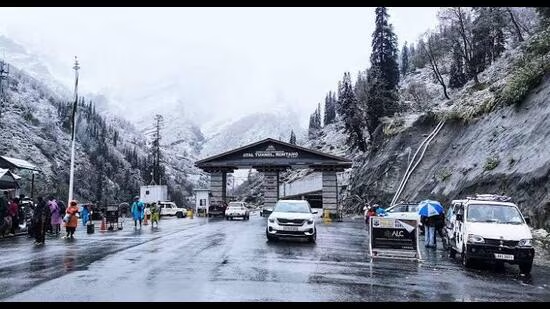
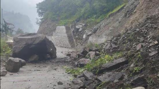
A rare alignment of eight cyclonic circulations straddling northern India, backed by a favourably positioned seasonal monsoon trough, is set to keep the monsoon firing over North-West India and East and North-East India through the week, even as rain-triggered disasters continue to claim lives in the Himalayan region.Rains claim 16 lives across the nationAt least 16 people were killed in rain-related incidents in Jammu & Kashmir, Uttarakhand and Nagaland on Sunday, according to agency reports.Jammu and Kashmir bore the brunt, with 11 deaths after torrential rain unleashed flash floods and landslides in Poonch and Rajouri districts.India Meteorological Department (IMD) has warned that the threat is far from over, forecasting more heavy to extremely heavy rainfall over the vulnerable Himalayan States in the coming days.More rain to comeThe IMD has issued alerts for heavy to very heavy rainfall with isolated extremely heavy falls over Uttarakhand on Monday, Jammu & Kashmir during the next three days, and Himachal Pradesh for the next two days, raising the spectre of fresh landslides, flash floods and river swelling.The eastern flank of the monsoon is equally active. Till 5.30 a.m. on Monday, extremely heavy rainfall lashed isolated parts of Assam and Meghalaya, while heavy to very heavy rain drenched the hill districts of the North-East. Bihar also reported isolated heavy rainfall.Monsoon season revs upThe immediate trigger is an unusually favourable synoptic pattern. An upper-air cyclonic circulation over the west-central Bay of Bengal and adjoining coastal Andhra Pradesh has locked into a well-aligned seasonal monsoon trough - the atmospheric spine of the monsoon - stretching from Ganganagar in Rajasthan through Delhi, Lucknow, Ranchi and Digha before dipping into the north-east Bay of Bengal.Together with a cluster of cyclonic circulations spread across northern India and adjoining regions, the system has opened an uninterrupted moisture corridor from the Bay deep into the northern plains and the Himalayan foothills.The set-up is also conducive to the birth of another low-pressure area, potentially the third in the current series, ensuring that the monsoon remains active over eastern and north-western parts of the country.El Niño casts a long shadowYet, the current burst of activity masks a broader shift emerging in seasonal forecasts. Global weather models increasingly indicate that the monsoon may have already reached its peak during the first week of July. Beyond the present spell, rainfall is expected to revert to normal or even below-normal over large parts of the country.The moderation is being linked to the strengthening El Niño, whose suppressing influence on the monsoon appears to be becoming firmly established. Even if fresh low-pressure systems continue to form over the Bay, forecasters do not expect the kind of widespread nationwide revival witnessed during the first week of July.Overall rain outlookNorth-West India: Fairly widespread to widespread rainfall is forecast over Himachal Pradesh, Jammu-Kashmir-Ladakh and Uttarakhand during next seven days; Haryana, Chandigarh, Delhi and Punjab during next four days; Uttar Pradesh for five days; and East Rajasthan from Thursday. Isolated very heavy rainfall is likely over Jammu-Kashmir-Ladakh on Thursday, Himachal Pradesh on Wednesday, Uttarakhand on Tuesday, and Haryana, Chandigarh, Delhi, Punjab and Uttar Pradesh during next three days.Central India: Rain activity will gradually strengthen over Madhya Pradesh, Chhattisgarh and Vidarbha, with widespread rainfall expected over East Madhya Pradesh and Chhattisgarh through the week.East and North-East India: Very heavy rainfall is likely over Assam, Meghalaya and the hill districts of West Bengal on Monday. Heavy rainfall is forecast over Bihar later this week, Odisha during next three days, and across Arunachal Pradesh and the other North-Eastern States through most of the week.West India: Konkan and Goa will continue to receive widespread rainfall through the week, with heavy showers also likely over Madhya Maharashtra and east Gujarat.South Peninsula: Kerala, Mahe and Lakshadweep are in for widespread rain, while scattered to fairly widespread showers will persist over Coastal Andhra Pradesh, Rayalaseema, Telangana, Tamil Nadu and interior Karnataka over the next seven days.The week’s rainfall will provide a fresh boost to kharif crops and replenish reservoirs across several regions. But for Himalayan States, where saturated slopes remain highly unstable, the immediate concern is the heightened risk of flash floods, landslides and infrastructure damage as the monsoon enters another intense phase.Published on July 20, 2026