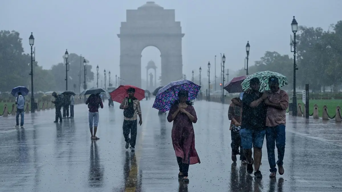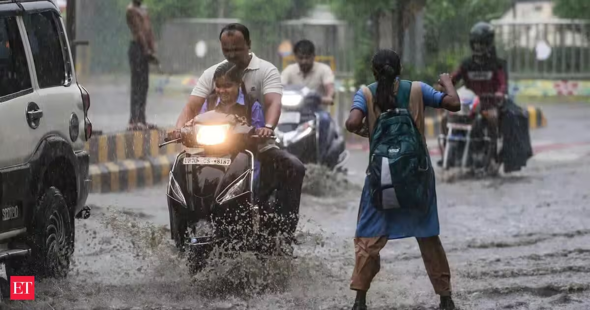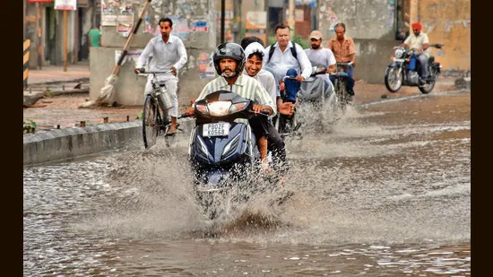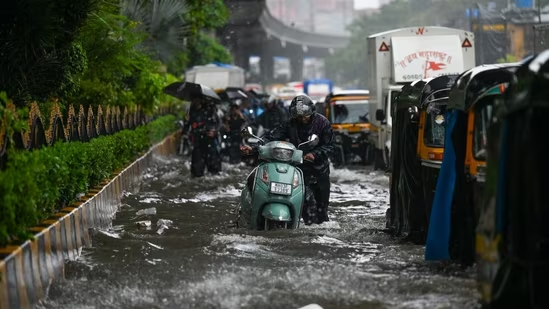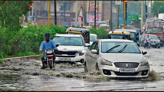
Having remained subdued for over a week, monsoon is set to make a fierce return in Punjab, driven by two powerful systems becoming active together.Commuters make their way through a waterlogged road in Ludhiana following heavy rain on Sunday. (Gurpreet Singh/HT)Forecasting heavy to very heavy rainfall across the state from July 20 to 22, the India Meteorological Department (IMD) has issued an orange alert, cautioning residents about flash floods and water logging in low-lying areas, along with disruption in transport and civic utilities.Over the past week, the monsoon trough had moved away from Punjab, and shifted towards Himachal Pradesh, Uttarakhand, Bihar, West Bengal and northeastern states. As the monsoon axis moved away from the plains, dry westerly winds came in, driving up temperatures and humidity.But the monsoon activity is now on course for revival, which the weather office attributed to the monsoon axis shifting westwards again towards Punjab and Haryana.In addition, an upper air cyclonic circulation has developed over north Punjab and adjoining Pakistan, while another cyclonic circulation persists over north Haryana and adjoining areas. These weather systems are expected to enhance moisture incursion and trigger widespread rainfall across the region.The IMD has forecast light to moderate rainfall at many to most places across Punjab over the next five days, with isolated heavy rainfall likely from July 19 to 23. The most intense spell is expected between July 20 and 22, when heavy to very heavy rain is likely at isolated places.IMD Chandigarh director Surender Paul said the monsoon was expected to revive after a brief inactive phase and that fairly widespread rainfall with isolated heavy spells was likely between July 20 and 24.Northern, central districts brace for intense spellThe district-wise forecast indicates that northern and central districts, including Pathankot, Gurdaspur, Hoshiarpur, Rupnagar, SBS Nagar and Fatehgarh Sahib, are likely to receive the heaviest rainfall, with heavy to very heavy showers expected at isolated locations over the next three days.Districts such as Amritsar, Tarn Taran, Kapurthala, Jalandhar, Ludhiana, Patiala and Mohali are also likely to receive widespread rain, accompanied by thunderstorms and lightning.Southern districts, including Bathinda, Mansa, Muktsar and Fazilka, are expected to receive comparatively lighter rainfall.The IMD has advised residents to remain cautious during periods of intense rainfall, particularly in areas prone to waterlogging and poor drainage. Localised flooding, reduced visibility and traffic disruptions are possible in urban centres during heavy downpours. Thunderstorms accompanied by lightning are also expected at isolated places during the forecast period.May help in recovery from rainfall deficitAs Punjab has already been reeling under a significant rainfall deficit, this comeback is likely to help recover from that shortfall while also bringing relief from humidity and sweltering weather.According to the IMD’s special weather bulletin, the state received only 88.7 mm rain against the normal 150.4 mm between June 1 and July 19, resulting in a 38% deficiency. The upcoming wet spell will, therefore, boost recovery, say experts.On Sunday, Bathinda was the hottest place in Punjab, sizzling at 40.8°C. Ferozepur also experienced hot weather, registering a high of 37.3°C. Patiala recorded a maximum of 36°C, while Mohali logged a high of 36.4°C. Amritsar and Ludhiana recorded maximum temperatures of 34.7°C and 34.8°C, respectively. Chandigarh, which received light rain, recorded a high of 36°C.
Monsoon coming back to Punjab with full force, IMD sounds orange alert
After changing course in northeast direction, monsoon axis shifting westwards again towards Punjab, Haryana, says IMD
536 words~2 min read