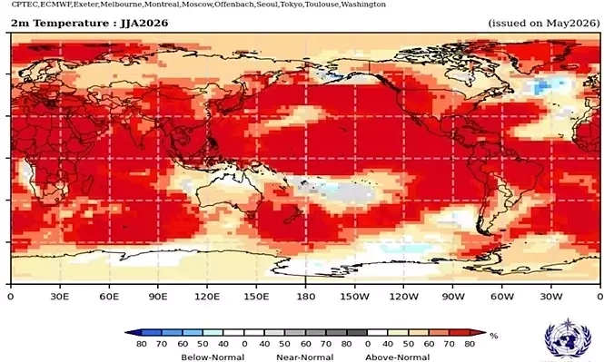
Our planet’s long-term, human-driven heating trend is almost certain to push into new record territory in 2027 – perhaps even this year – as an emerging El Niño event is on track to propel a vast storehouse of oceanic heat into the atmosphere. New results this month from an array of the world’s top climate models have only strengthened the outlook for a potential record-smashing El Niño event, most likely peaking toward year’s end.
In a detailed post at The Climate Brink on Substack, and in summary threads on Bluesky and X, climate scientist Zeke Hausfather, who has contributed to Yale Climate Connections, paints a stark picture of top-end climate models hurtling into truly uncharted territory – and of El Niño conditions now taking shape even more quickly than the jaw-dropping multi-model forecast.
According to Hausfather: “With the July runs now in from 667 ensemble members across 14 different seasonal forecast models, it looks like this year’s El Niño is not only very likely to be the strongest event since reliable records began – it may end up the strongest by a truly mind-blowing margin.”
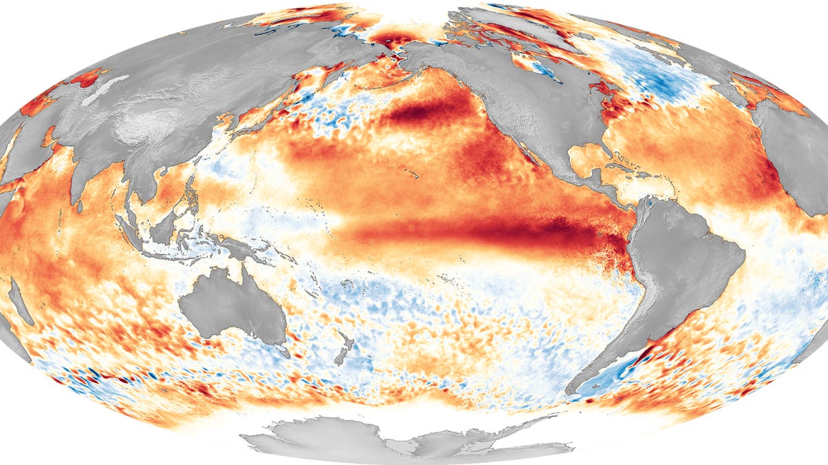
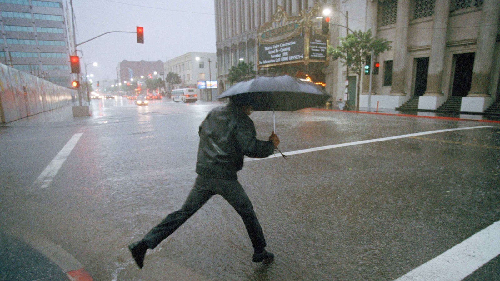
El Niño – a periodic warming of the waters of the eastern tropical Pacific – is the world’s single biggest shaper of global temperature and regional climate over periods of a few months to a year or more. Heat that’s stored in the ocean during the cool counterpart phenomenon, La Niña, rises from the eastern tropical Pacific during El Niño. The result is a spike in global temperature, as well as climatic reverberations that typically include drought over Indonesia and parts of South America and Africa, wet winters over the southern U.S., and a shift away from Atlantic hurricanes toward North Pacific hurricanes and typhoons (a shift already in progress).