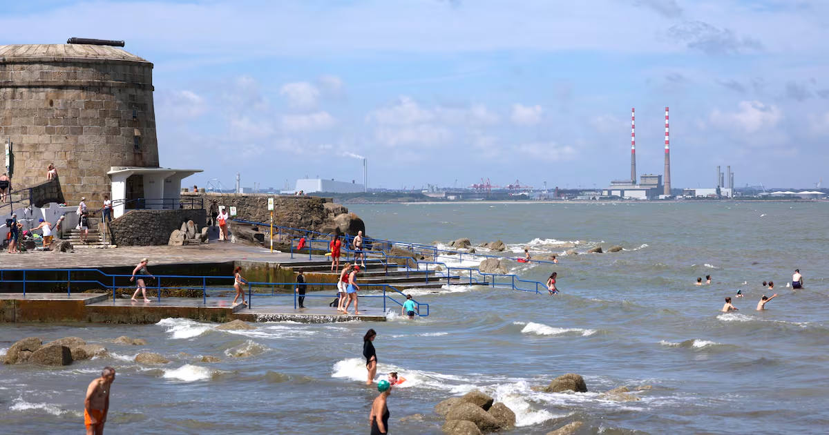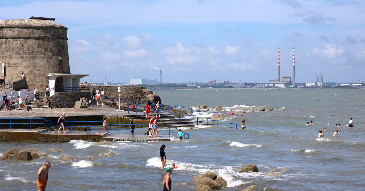
A yellow weather warning has been issued for most of the country as the hot weather continues into the coming days, and possibly into next week, albeit with a chance of thunderstorms later in the week.A yellow high temperature warning is currently in place for counties Cork, Kerry, Limerick, Galway and Mayo until 7am on Wednesday.Another yellow high temperature warning has also been issued for Carlow, Kildare, Kilkenny, Laois, Longford, Offaly, Westmeath, Cavan and Donegal as well as all of Munster and Connacht.It will come into effect at noon on Wednesday, lasting until 6am on Friday.Met Éireann said maximum temperatures will be in excess of 27 degrees, while temperatures at night will be more than 15 degrees.Potential impacts include water safety issues due to increased use of lakes, beaches and waterways, uncomfortable sleeping conditions, heat stress, forest fires and drought.With high pressure continuing to dominate Tuesday will be mostly dry and sunny with highest temperatures of 23 to 29 degrees, Met Éireann said.Early indications suggest that the hot temperatures will remain throughout next week.Water restrictions have been introduced for all of Dublin and parts of surrounding counties as Uisce Éireann warns of dwindling supplies. A formal “water conservation order”, commonly known as a hosepipe ban, will be in effect for six weeks, beginning a minute past midnight on Thursday and running until midnight on August 26th. It applies to Dublin and south Tipperary as well as parts of Wicklow, Kildare, Meath, Wexford. Hosepipe bans specifically prohibit the use of hosepipes for watering gardens, washing cars or privately owned leisure boats, and filling or maintaining a domestic swimming pool or paddling pool except where the latter is small enough to be filled using “hand-held containers filled directly from a tap”.Domestic ponds and ornamental fountains also come under the ban except for fish ponds.It will be warmest in the west on Tuesday though with some cloud developing in the southwest in late afternoon. It will be a little fresher in the east light to moderate breezes. Tuesday night it will be dry in most of the country, with clear skies. Warmest in the south with temperatures falling to between 14 and 19 degrees.Wednesday will be another dry, very warm day with lots of sunshine, though the risk of heavy showers and thunderstorms will increase – most likely in parts of the south, midlands and west. Highest temperatures 23 to 28 degrees, staying a little cooler near the east coast.Thursday will continue very warm or hot for most, though there is a chance of heavy showers and thunderstorms developing, most likely affecting parts of the south and west. Highest temperatures of 24 to 28 degrees in light breezes.At this stage, Friday also looks set to be sunny and very warm or hot for many with temperatures in the mid to high 20s. A northerly breeze may bring cooler conditions to the north and northwest. Heavy showers or thundery downpours possible in parts too.The continuing dry spell can have potential impacts on people’s comfort and safety, Met Éireann said.
High temperature warning issued for most of country as water restrictions introduced
Hosepipe ban issed in several areas by Uisce Éireann
505 words~2 min read