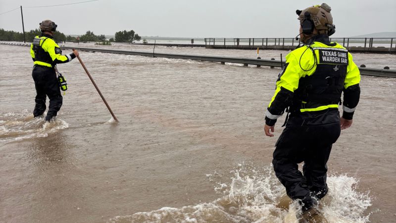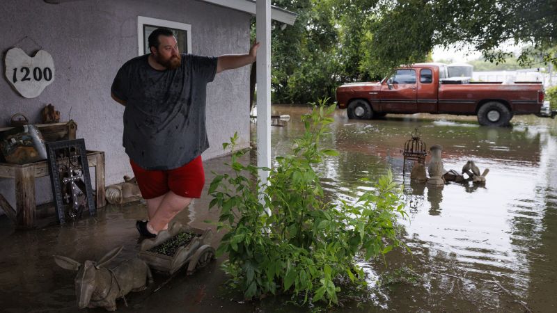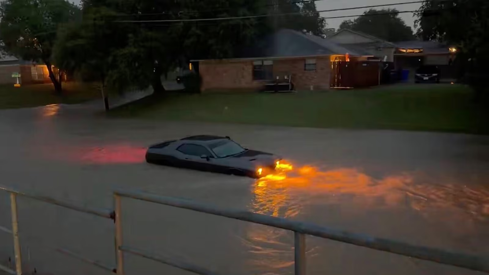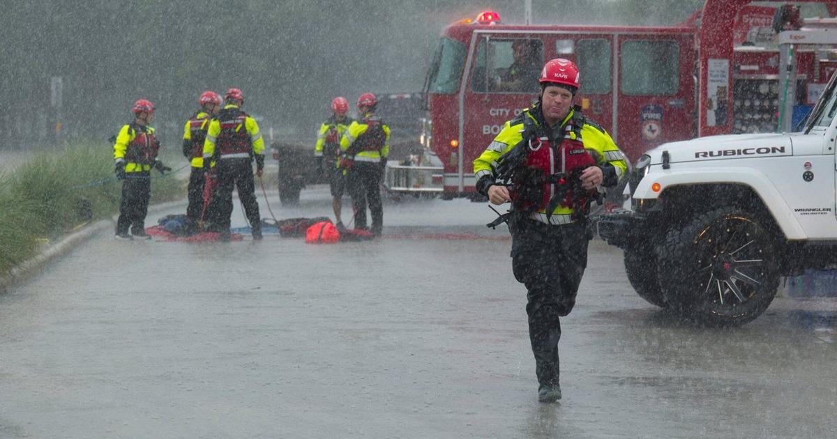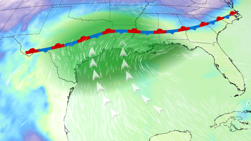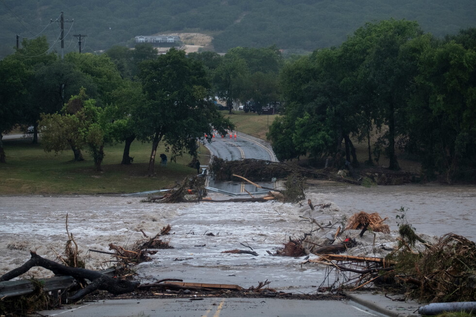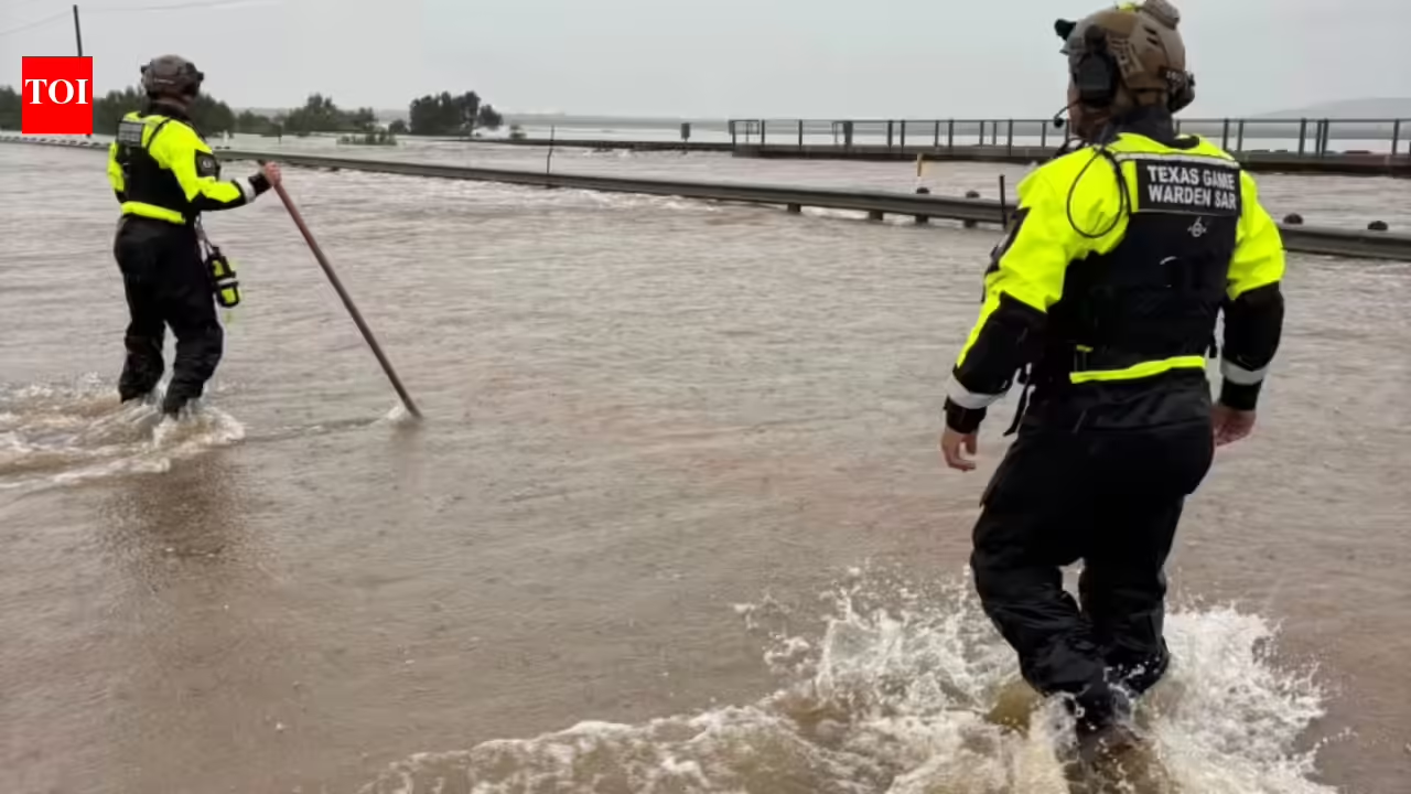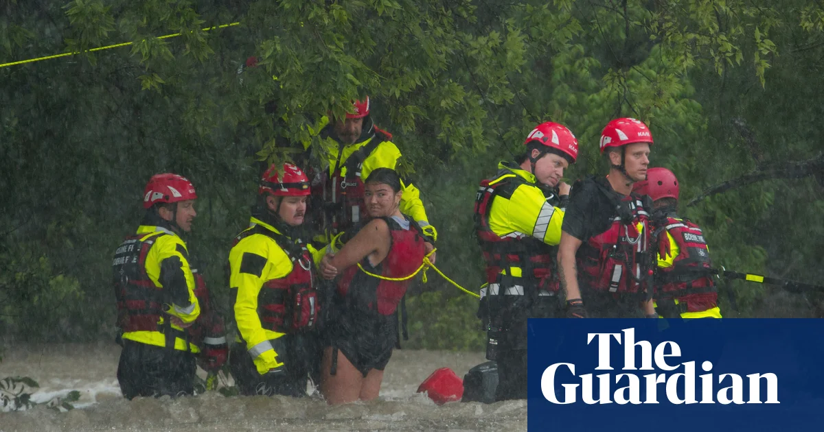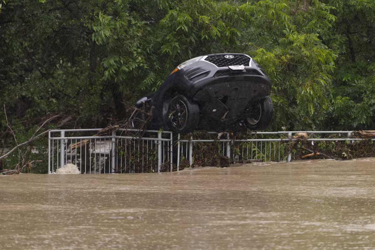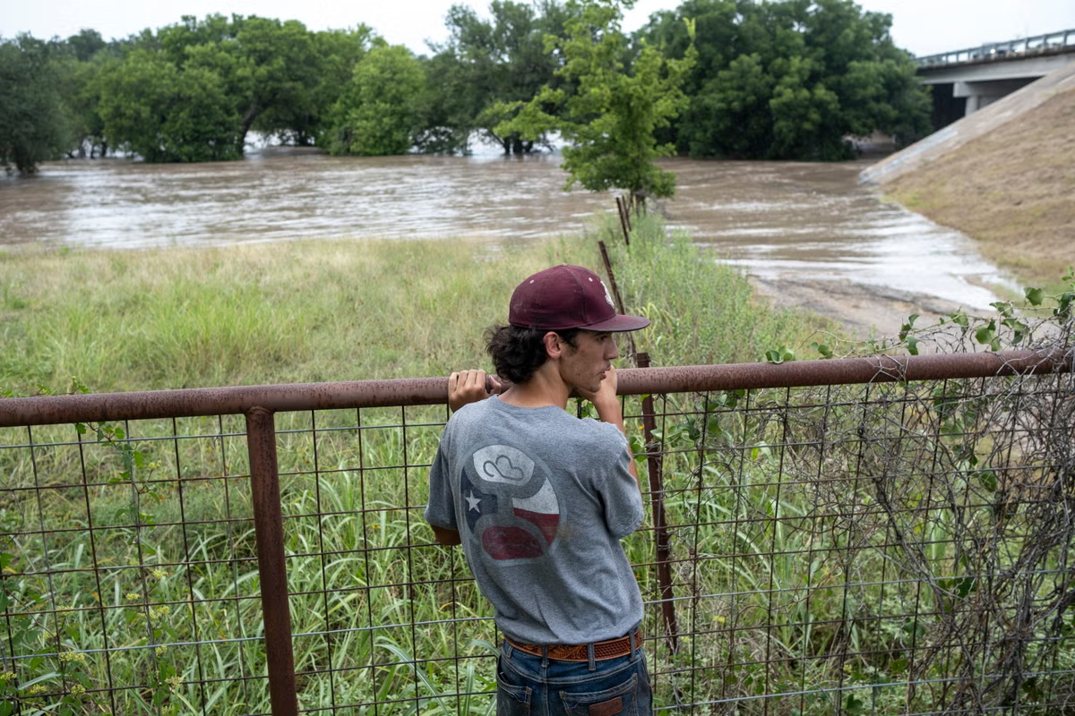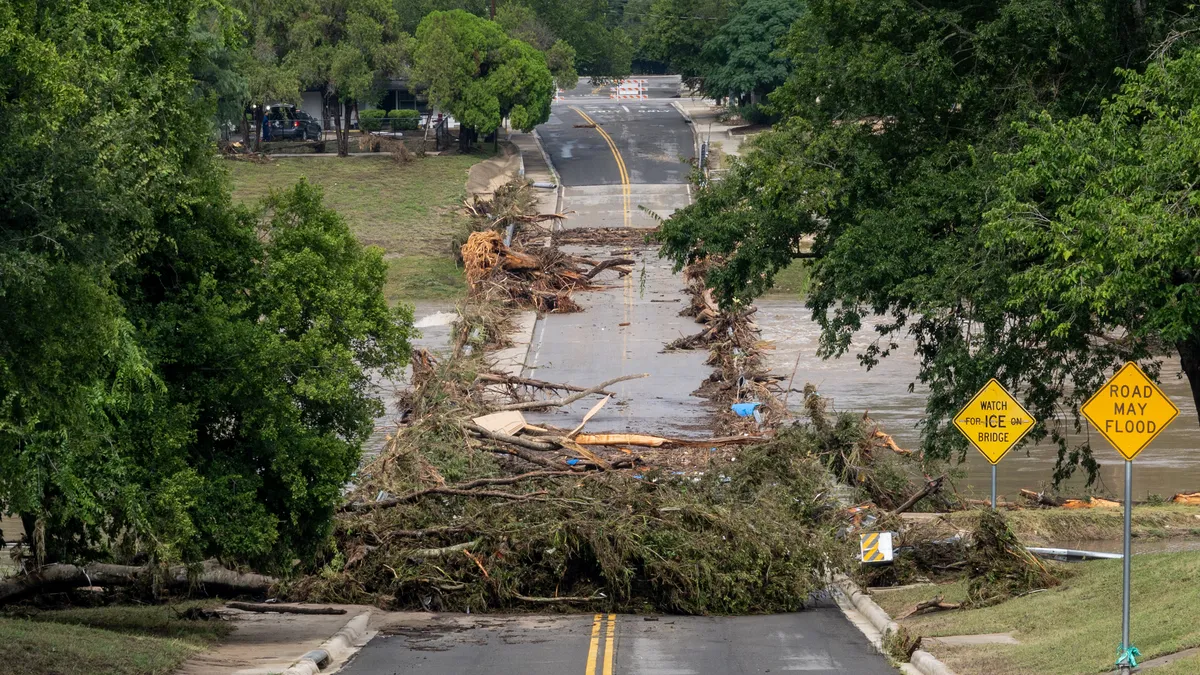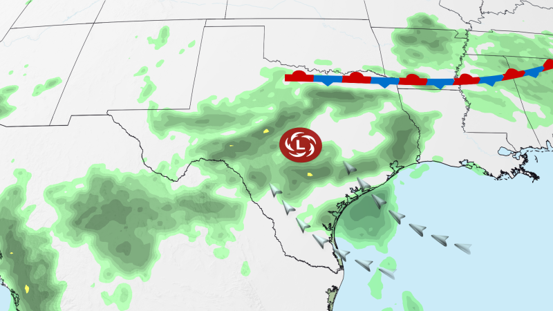
Parts of southern Texas are under back-to-back days of a rare “high risk” of flooding rain, spurring dozens of water rescues, as more rounds of slow-moving storms set off life-threatening and potentially catastrophic floods.
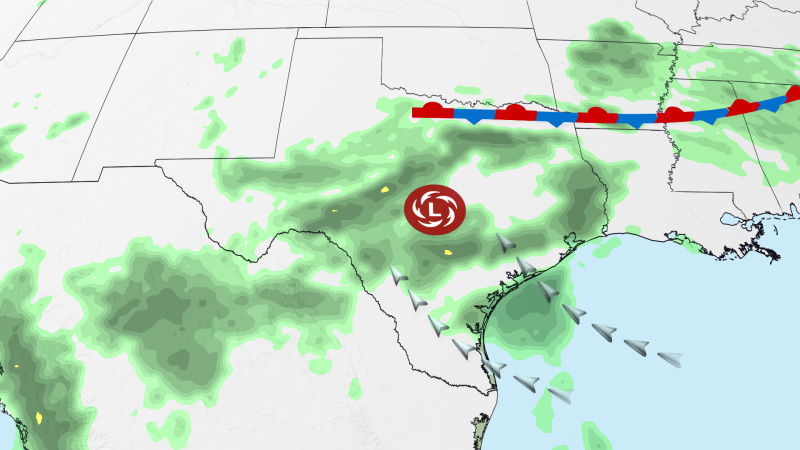
The Level 4 of 4 risk areas include parts of the western Hill Country, the Edwards Plateau and the Rio Grande Valley near the US-Mexico border, according to the Weather Prediction Center. Wednesday’s high-risk area is slightly more expansive than Tuesday’s.
“Significant to locally catastrophic flash flooding” is forecasted Tuesday into Wednesday, the center said. An additional 10 or more inches of rain could fall in some locations into Wednesday morning, with storms bringing rainfall rates of 2 to 4 inches per hour — and even more rain is possible in the region through the end of the week.
Some of these areas already saw flooding on roads and water rescues Tuesday after 6 to 12 inches of rain fell overnight into Tuesday morning.
This is the first time since April 2025 that the WPC has issued high risks on back-to-back days. It’s hard to overstate just how significant these high-risk flooding events are. They are issued on fewer than 4% of days per year on average but are responsible for more than 80% of all flood-related damage and 36% of all flood-related deaths, WPC research shows.