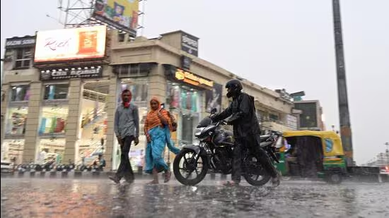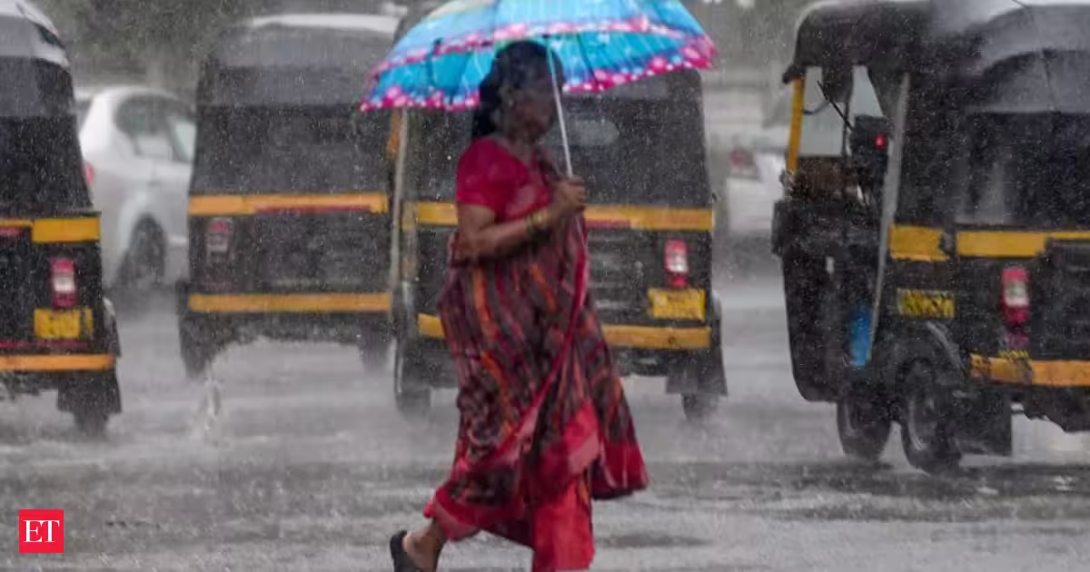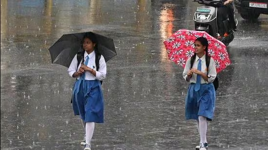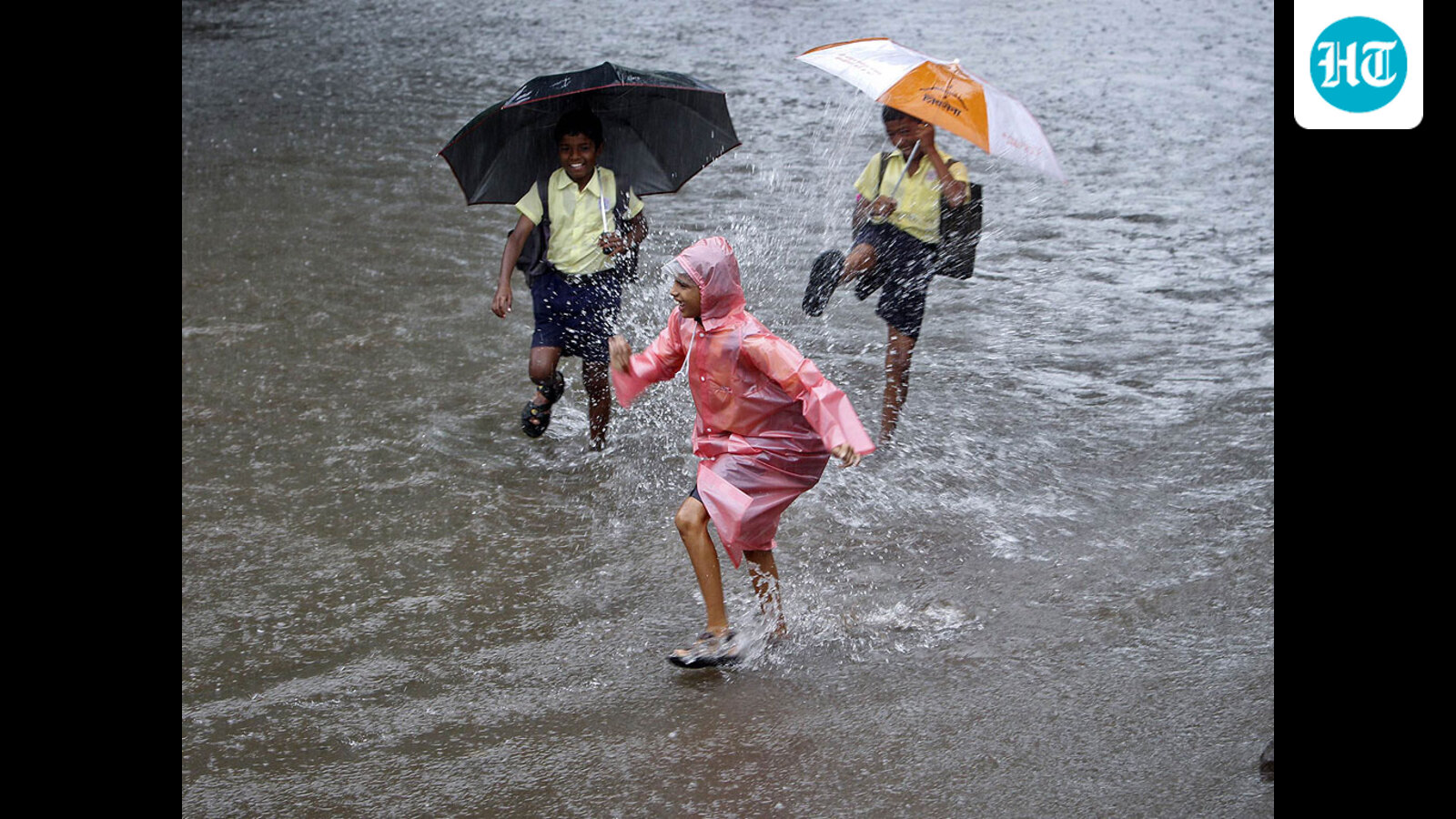
Rainfall activity reduced substantially on Saturday and is expected to weaken further in the coming days. As a result, the temperature is very likely to rise from Sunday onwards. As of now, monsoon activity is expected to remain confined to extreme parts of East Uttar Pradesh. Even West UP, which received brisk rain during the last few days, may experience scattered rain, a weatherman said.During the last 24 hours, Uttar Pradesh recorded an average rainfall of 10.3 mm. (For Representation)A depression formed in the Bay of Bengal had reached southwestern Uttar Pradesh as a well-marked low-pressure area before turning and moving towards eastern Uttar Pradesh while progressively weakening.“Consequently, despite a renewed rise in temperature, light to moderate rainfall—with isolated heavy spells—is likely to continue in eastern Uttar Pradesh over the next 3–4 days,” said Atul Kumar Singh, a senior scientist at Regional Meteorological Centre, LucknowDuring the last 24 hours (between Friday 8:30 am and Saturday 8:30 am), the state capital received 20.8 mm of rainfall. The maximum and minimum temperatures were recorded at 34.4 and 25.4 degrees Celsius respectively. Since June 1, Lucknow received 95.8 mm of rain against a normal of 158.3 mm. The district still remains in the “deficient” category (below normal) with a 40% shortfall.The forecast for Lucknow is a partly cloudy sky. The maximum and minimum temperatures will be around 35 and 27 degrees Celsius, respectively, with relative humidity at 95%. The state forecast is that rain/thundershowers are very likely at a few places over the state. Heavy to very heavy rain is very likely at isolated places over the east UP.Monsoon activity remained vigorous across Uttar Pradesh this week following widespread showers that brought pleasant weather to most parts of the state and narrowed the state’s overall rain deficit for the season from 59% (as on June 29) to 16% on Saturday.During the last 24 hours, Uttar Pradesh recorded an average rainfall of 10.3 mm; East UP received 13.3 mm and West UP 6.1 mm. In the last 24 hours, Fatehpur Tehsil, Barabanki, received 160 mm of rainfall; Nakur in Sahranpur received 99 mm, Baheri in Bareilly 87 mm, Lambhuaa in Sultanpur 82 mm, and Katraniaghat in Bahraich 72.4 mm.Since June 1, UP has recorded 151.5 mm of rain against a normal of 179.8 mm. West UP witnessed a 23% surplus, having received 186.9 mm against a normal of 152.4 mm. Conversely, east UP continues to face a significant deficit of 36%, having received 126.8 mm against a normal of 199.3 mm.Eight districts in West UP now fall into the “large excess” rainfall category (60% or more above normal): Meerut (226%), Muzaffarnagar (210%), Sambhal (128%), Etah (126%), Hathras (97%), Firozabad (72%), Agra (60%) and Auraiya (60%).Additionally, seven districts—Bijnor (53%), Bulandshahr (51%), Etawah (50%), Baghpat (42%), Badaun (39%), Hamirpur (23%) and Lalitpur (28%)—recorded “excess” rainfall (20% to 59% above normal).As many as 21 districts reported average rainfall (ranging from 19% surplus to 19% deficit), including Balrampur, Banda, Barabanki, Chitrakoot, Farrukhabad, Gonda, Hardoi, Kannauj, Kanpur City, Mirzapur, Sultanpur, Bareilly, Hapur, Jalaun, Kasganj, Mahoba, Mathura, Moradabad, Rampur and Shahjahanpur.The remaining districts continue to struggle with shortages, with 29 recording “below normal” rainfall (20% to 59% deficit) and 10 reporting “large deficient” rainfall (60% to 99% deficit).
Rain activity weakens in Uttar Pradesh, temp likely to rise
39 districts continue to struggle with rain deficit, with 29 recording below normal shower (20% to 59% deficit)
538 words~2 min read