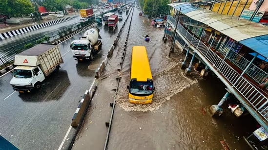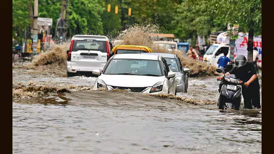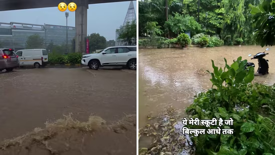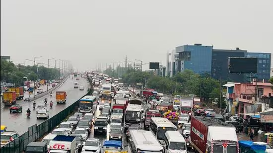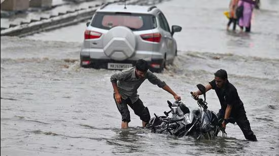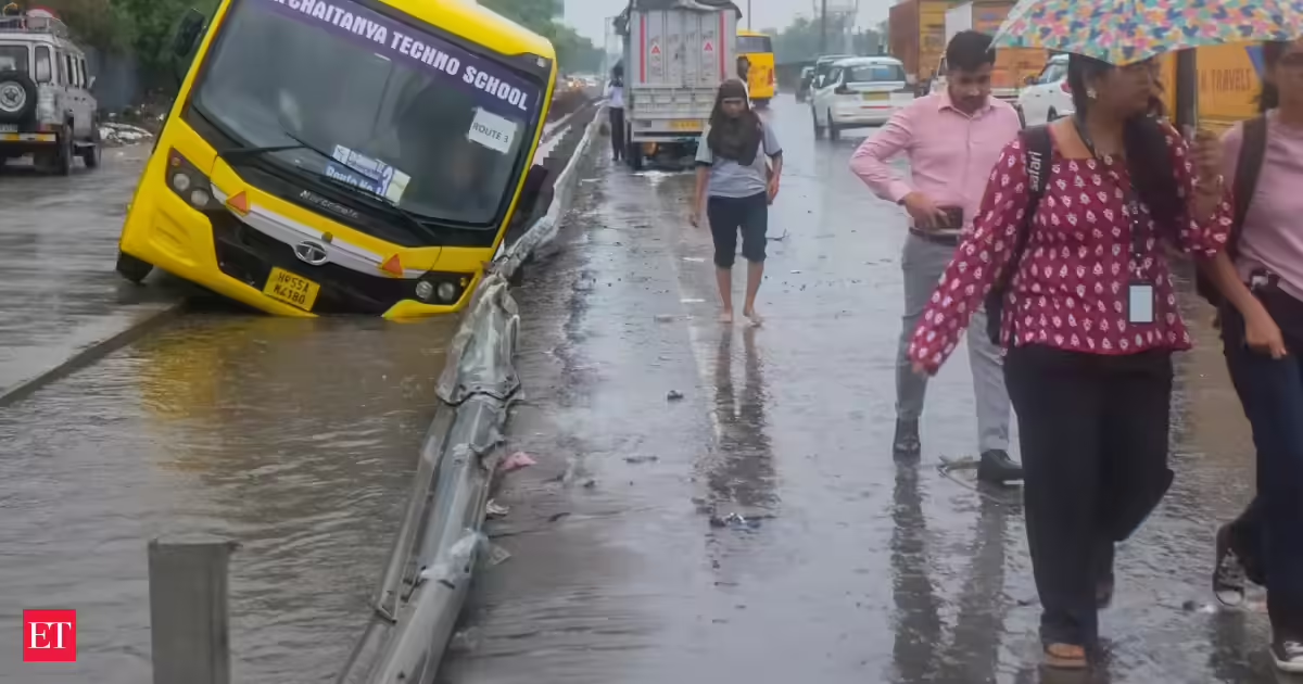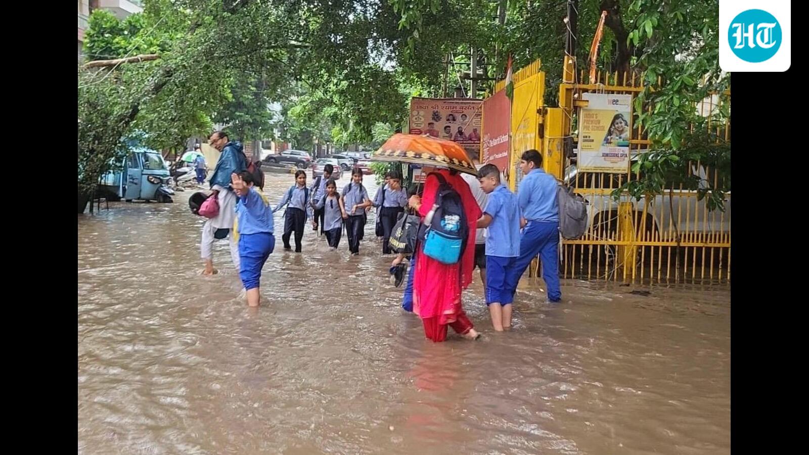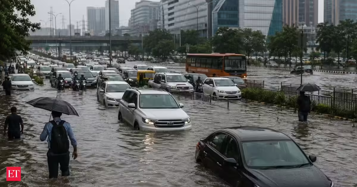
Gurugram remained inundated for the second consecutive day due to heavy monsoon rain. The city was inundated with 115mm of rain in just 33 hours and the fallout was immediate, waterlogged roads, crawling traffic and a string of rain-related incidents across the city’s busiest stretches on Wednesday. On some of Gurugram's busiest roads including the NH-48 service lane near Narsinghpur, Basai, Kadipur and Sohna Road, traffic came to a standstill leaving commuters stranded for hours. “Several vehicles reportedly got stuck in the standing water and broke down. Sectors 29, 31, 45 and 56 have flooded before in basements. None of this was new. And that's the real story.Gurugram doesn't flood because it rains too much. It floods because the city has spent decades methodically dismantling the systems that used to carry that water away, its slopes, its ponds, its drains, and its green cover. What looks like bad luck every monsoon is actually a long, slow structural failure, and Monday was just the latest bill coming due.A hill city that forgot how to drain itselfGurugram sits right up against the Aravallis, and that geography used to work in its favour. The city tilts from high ground near Gwalpahari in the east, about 290 metres above sea level, down to roughly 200 metres near the Najafgarh drain in the west. That's a 90-metre drop across the city, taller than a multi-storey building, and it once gave rainwater a clear, fast route out.To manage that steep runoff, the British built around 100 check dams across the city, along with four major bunds, Ghata, Jharsa, Wazirabad and Chakkarpur, feeding into a network of ponds. Heavy rain would collect in these ponds first, and the bunds would then release it gradually, so low-lying areas were never hit with the full force of the water all at once.That buffer system barely exists anymore.The ponds are gone, and so is the safety netGhata bund once covered roughly 370 acres. Today it's down to about 2 acres, swallowed by high-end residential towers built right where the water used to collect. Jharsa bund is faring no better, encroachment there is currently the subject of litigation before the National Green Tribunal.With the ponds paved over and the bunds broken up, there's nothing left to slow the water coming down from the Aravallis. It simply rushes straight into the city at full speed the moment rainfall crosses average levels, which is exactly what happened on Monday.A concrete skin over a rain-fed cityTopography only explains about 30% of Gurugram's flooding problem. The bigger issue is concrete, a lot of it. Under the 2031 Master Plan for the Gurugram-Manesar Urban Complex, more than 60% of the city's land is slated to be built over. Green cover has already shrunk to less than 5 square metres per person, among the lowest in the region.Concrete doesn't absorb rain. It redirects it. And in Gurugram, it's redirecting rain straight onto roads that were never designed to double as rivers.Roads built on top of old water channelsSome of the city's worst flooding spots aren't unlucky, they're engineered wrong. Golf Course Road, one of Gurugram's most prominent office and residential addresses, was built directly along a natural water channel. It started flooding within a year of opening. Every monsoon since has just confirmed the design flaw.Columnist Suhel Seth summed up the daily experience of driving that stretch in the rain with a dry joke about it teaching more patience than any meditation retreat could.Seven drains, one city, nowhere near enoughGurugram's entire drainage load rests on just seven major drains. One, near Ambience Mall, empties straight into the Najafgarh drain. A second carries runoff from DLF Phases 1, 2 and 3, Sushant Lok-1, MG Road and nearby areas through Iffco Chowk before joining the same drain. The remaining five all converge into the Badshahpur drain near Khandsa — which is precisely why that junction turns into a flashpoint every time it rains hard.The Badshahpur drain itself tells the story of the city's neglect. It was once 45 metres wide. In several stretches, it has now narrowed to under 10 metres, choked further by silt and garbage at the sector level.Officials point to ₹500 crore spent on drainage upgrades over the last nine years, according to a TOI report, money residents say they haven't seen reflected on the ground. On Monday alone, traffic police fielded roughly 200 distress calls, mostly from vehicles stranded in flooded stretches, and had officers stationed at over 100 known waterlogging points across the city.The pattern isn't breaking on its ownStrip away the headlines and the pattern is the same every year: a natural drainage slope blocked by construction, ponds and bunds erased by real estate, green cover replaced by concrete, and a drainage network too narrow and too clogged to cope. Until Gurugram restores its water bodies, redesigns its storm drains around its actual geography, and rebuilds some of its lost green cover, every monsoon will produce the same photographs, stalled cars, wading pedestrians, and a global business hub brought down by a few hours of rain.
Gurgaon Waterlogging: Why does the Millennium City of Fortune 500 firms flood every time it rains? The answer has nothing to do with weather
Gurugram's corporate corridor became a swamp after recent heavy rainfall. The city floods due to dismantled natural drainage systems over decades. Ponds and bunds, which once managed runoff, have largely disappeared. Extensive concrete development redirects rainwater onto unprepared roads. Restoring water bodies and green cover is essential to prevent future flooding.
843 words~4 min read