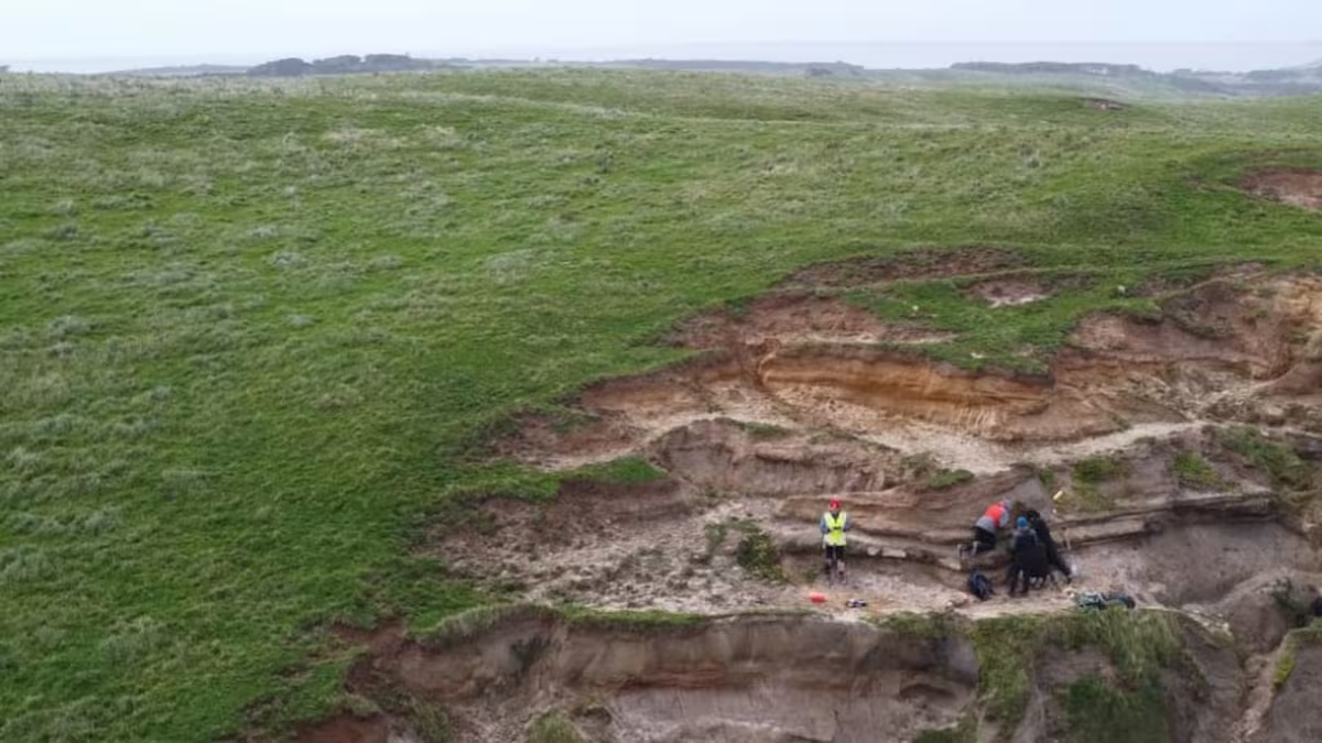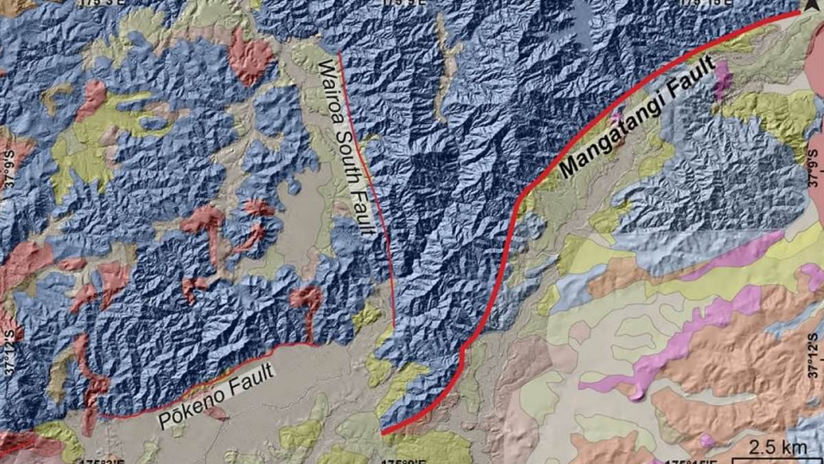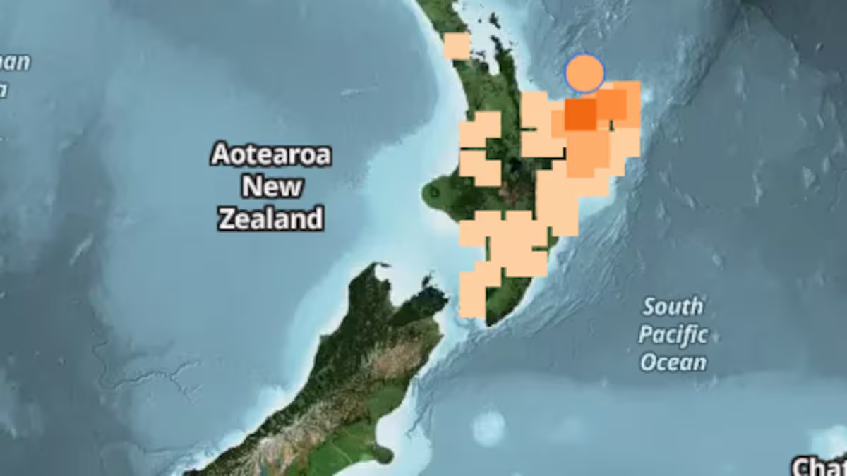
Around 350,000 years ago, the centre of New Zealand's North Island looked nothing like the mountainous, scrub-covered landscape familiar today. Vast beech and podocarp forests covered the region during a cold glacial period, providing habitat for abundant native birdlife, right up until one of the most explosive volcanic events ever recorded on Earth tore through the landscape without warning. Known as the Whakamaru supereruption, the blast released enough material to bury much of the country, yet for decades scientists struggled to reconstruct exactly how such an enormous eruption actually unfolded. A team of researchers led by Anna Miller at Te Herenga Waka Victoria University of Wellington has now pieced together the clearest picture yet of the event, using scattered volcanic deposits found across New Zealand and the wider South Pacific.Just how big the Whakamaru eruption really wasThe Whakamaru supereruption stands as the single largest eruption ever produced by New Zealand's Taupo Volcanic Zone, an area stretching from Whakaari, also known as White Island, down to Mount Ruapehu. According to the study published in the Journal of Volcanology and Geothermal Research, researchers refined their calculations of both the fall deposits and the ignimbrites left behind by the eruption to confirm a total volume exceeding roughly 1,500 cubic kilometres of dense rock equivalent, a scale that places Whakamaru firmly among the largest volcanic events of the entire Quaternary period, the roughly 2.6 million year geological era that includes the present day.Why piecing this eruption together took so longReconstructing an eruption of this size and age is a genuinely difficult scientific puzzle, since the ash and rock it produced were scattered across huge distances and deposited in wildly different environments, from marine sediment cores in the Tasman Sea to layers found as far away as Chatham Island. The research team drew on a widespread volcanic deposit known as the Rangitawa Tephra, analysing samples from 25 separate localities and comparing them against more proximal, welded ignimbrite deposits closer to the eruption's source. This combination of near source analysis alongside medial, distal and very distal tephra samples allowed the researchers to correlate more than 30 individual sites across New Zealand and the south Pacific back to this single, colossal eruption, finally connecting scattered puzzle pieces that had been studied separately for years.How the eruption actually began, underwaterOne of the most striking findings to emerge from the reconstruction concerns exactly how the eruption started. The researchers determined that a large lake likely occupied the central North Island at the time, not unlike Lake Taupo does today, and when rising magma first reached the surface, it erupted directly into this standing body of water. This triggered extremely violent interactions between magma and water that drove the earliest and most explosive phase of the entire eruption, a process volcanologists refer to as phreatomagmatic activity. As the eruption progressed, the lake was gradually destroyed and filled in with volcanic debris, and the eruption style shifted toward a much drier form of volcanism as the surrounding water was steadily consumed.Why the underlying magma system turned out to be so complexBeyond simply confirming the eruption's scale, the study revealed genuine complexity in how the underlying magma system behaved as the eruption unfolded. The earliest phase of the eruption appears to have been driven by the evacuation of a single, distinct magma body sitting beneath the volcano, but as the eruption evolved, it grew into a considerably larger and more complicated event playing out deep underground, involving the tapping of multiple separate magma bodies rather than a single, straightforward eruption from one continuous source. Understanding this kind of internal complexity matters significantly for volcanologists, since it directly shapes how scientists interpret warning signs and precursor activity at similarly built up volcanic systems elsewhere in the world.Why this ancient eruption still matters for New Zealand todayThe Taupo Volcanic Zone remains one of the most active volcanic regions on the planet, and throughout its roughly two million year history it has produced four separate eruptions large enough to be formally classified as supereruptions, only a few dozen of which have ever been identified anywhere on Earth. The much more recent Oruanui eruption, which took place around 25,300 years ago, carved out the basin that Lake Taupo now fills, and the same volcanic system also produced the far smaller but more recent Hatepe eruption roughly 1,800 years ago. Understanding how a supereruption like Whakamaru assembles itself, and how its underlying magma chambers behaved in the run up to eruption, feeds directly into how scientists interpret the restless ground still monitored beneath the central North Island today.Why none of this should cause alarmDespite the dramatic scale of the ancient eruption, researchers are clear that supereruptions of this kind remain extraordinarily rare events, and there is no suggestion whatsoever that another Whakamaru style eruption is imminent. New Zealand's official geological agency, GNS Science, continuously monitors the Taupo Volcanic Zone through its GeoNet network, tracking earthquakes, ground movement and volcanic gas output on an ongoing basis, and the region periodically experiences unrest without any eruption ever following. What studies like this one add is not cause for concern but genuine scientific depth, offering researchers a clearer sense of the patterns that tend to precede the very largest volcanic events, insight that ultimately helps New Zealand better prepare for whatever its restless volcanic foundations might eventually produce again, however far off that day may be.
One of Earth's biggest supereruptions that could have buried New Zealand finally makes sense
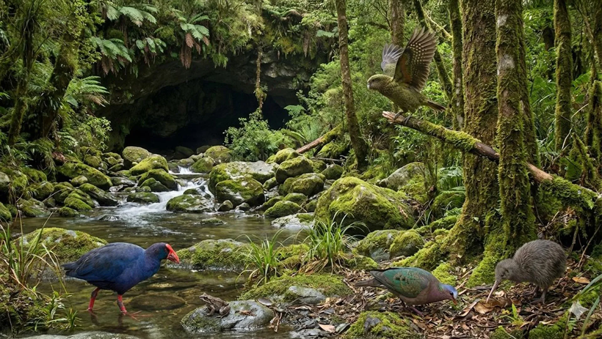
Around 350,000 years ago, the centre of New Zealand's North Island looked nothing like the mountainous, scrub-covered landscape familiar today. Vast beech and podocarp forests covered the region during a cold glacial period, providing habitat for abundant native birdlife, right up until one of the most explosive volcanic events ever recorded on Earth tore through the landscape without warning.
896 words~4 min read