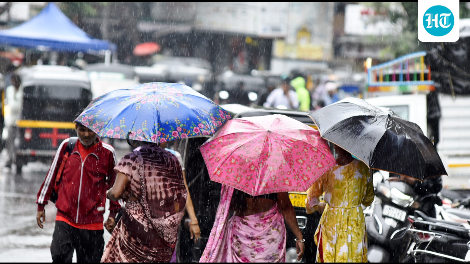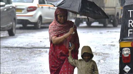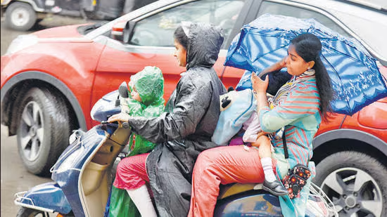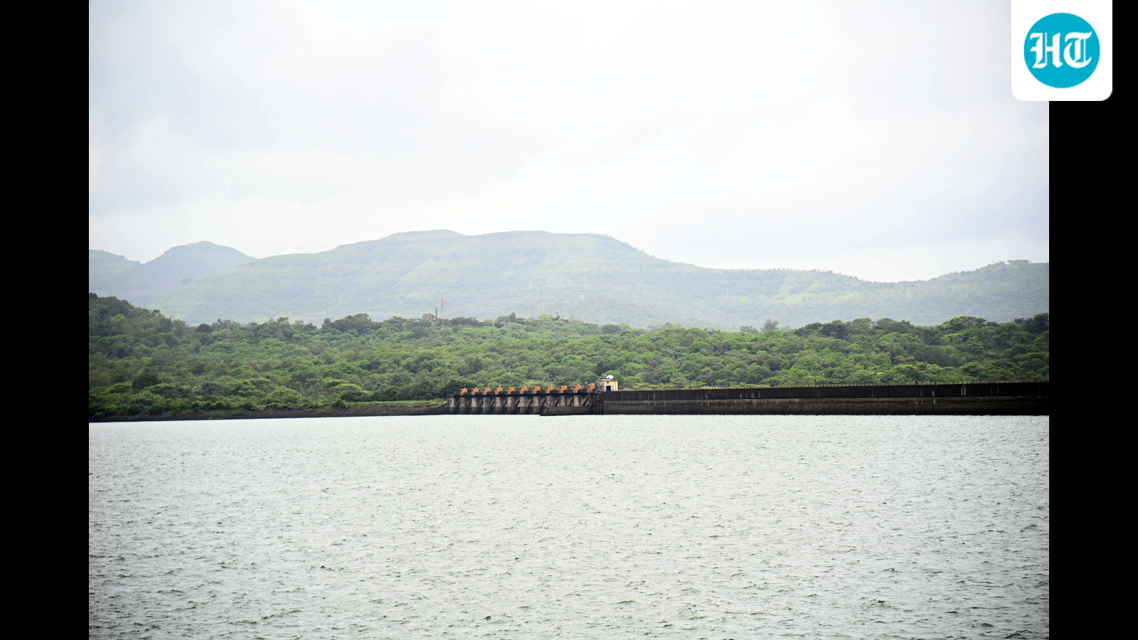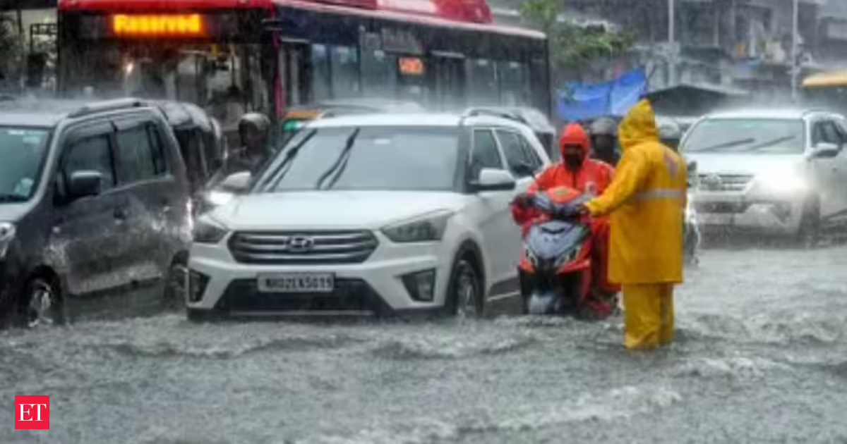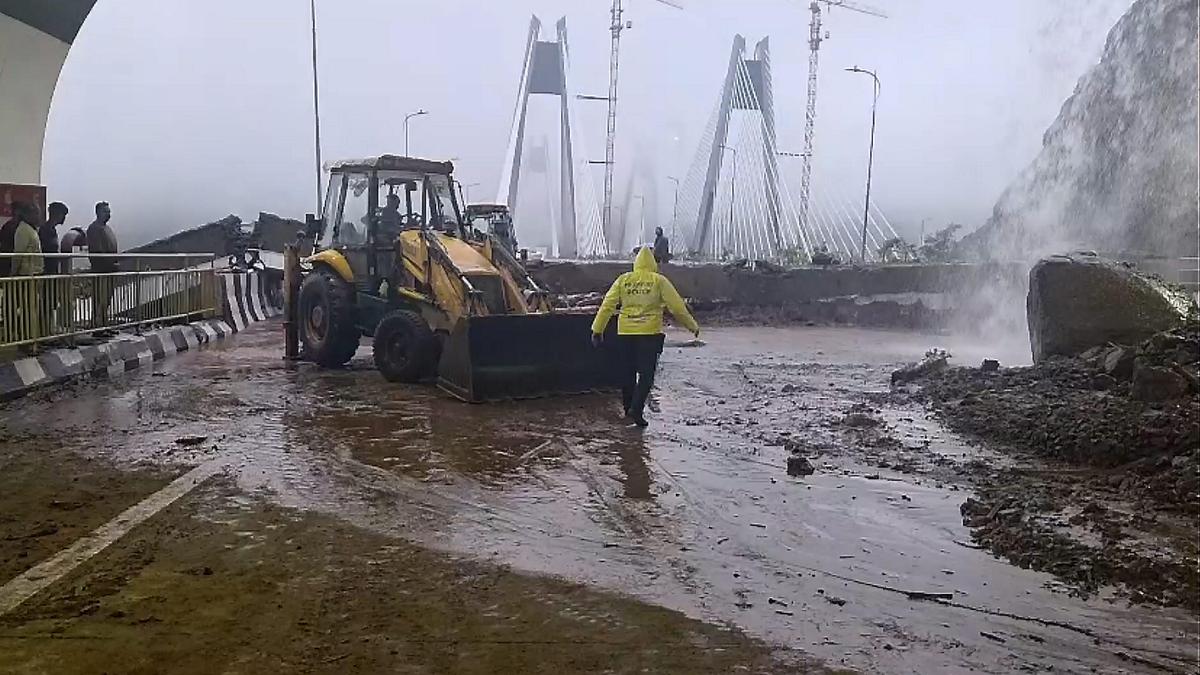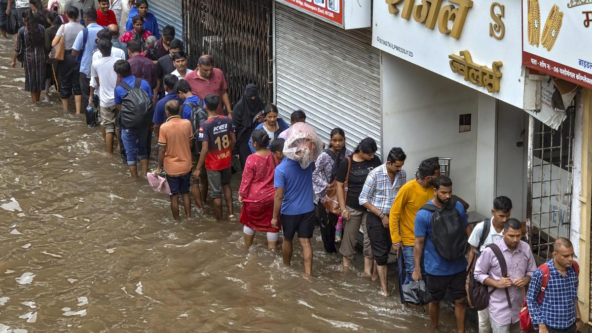
Continuous heavy rainfall over the past six days has pushed the city’s cumulative July rainfall well above the monthly normal.Explaining the prevailing weather conditions, SD Sanap, senior meteorologist at IMD Pune, said the active monsoon phase is likely to continue for another day before gradually weakening. (MAHENDRA KOLHE/HT)According to the India Meteorological Department (IMD), the Shivajinagar observatory, considered the representative weather station for Pune city, recorded 264.8 mm of rainfall between July 1 and July 6 (till 5.30 pm). This has already surpassed the city’s normal July rainfall of 189.1 mm, placing Pune in the above-normal category with nearly 40% surplus rainfall in just the first week of the month.The remarkable recovery comes after Pune experienced one of its driest months of June, raising concerns over drinking water availability and prompting the Pune Municipal Corporation (PMC) to introduce alternate water supply.Rainfall has been recorded every day since July 1. The month began with light showers before rainfall intensity gradually increased. The most significant spell occurred on July 5, when the Shivajinagar observatory received 161.6 mm of rainfall by 5.30 pm, making it one of the heaviest single-day rainfall events of the season.Of this, 108 mm was recorded during the 24-hour period ending at 8.30 am on July 6, while another 53.6 mm fell between 8.30 am and 5.30 pm, leading to widespread waterlogging, disruption of road and rail traffic, and a sharp rise in reservoir inflows.The heavy spell has also elevated July 2026 among the wettest July months in recent years. Based on IMD records, this year’s cumulative rainfall till July 6 is the third-highest recorded during the corresponding period. The highest rainfall during the first week of July was recorded in 2024 (394 mm), followed by 2022 (386.2 mm).More showers over next 24 hoursExplaining the prevailing weather conditions, SD Sanap, senior meteorologist at IMD Pune, said the active monsoon phase is likely to continue for another day before gradually weakening.“The active monsoon conditions are bringing widespread rainfall across Maharashtra, including Pune. The situation is likely to persist for the next 24 hours, after which rainfall is expected to reduce gradually over both Pune city and the ghat areas,” Sanap said.According to the IMD’s weather bulletin issued on Monday, multiple weather systems are influencing rainfall activity across the country. The seasonal monsoon trough extends from southwest Rajasthan to the east-central Bay of Bengal in the lower tropospheric levels. A shear zone persists along latitude 21°N between the lower and middle tropospheric levels, while an offshore trough stretches from south Gujarat to the north Kerala coast. In addition, a western disturbance remains active in the middle and upper tropospheric westerlies north of latitude 30°N.The combined influence of these systems has resulted in widespread moderate to heavy rainfall across Maharashtra, with Konkan and parts of central Maharashtra witnessing heavy to extremely heavy rainfall at several places.Red alert for Pune ghat section till July 8 Considering the prevailing weather pattern, the Regional Meteorological Centre (RMC), Mumbai, has continued the red alert for Pune district’s ghat sections till July 8, warning of heavy to extremely heavy rainfall over the next 48 hours.For Pune city, however, weather conditions are expected to improve gradually. The orange alert has been downgraded to a yellow alert for July 7, indicating the likelihood of light to moderate rainfall. No significant warning has been issued for the city beyond July 7. In the ghat areas too, the alert level is expected to be lowered to yellow from July 9 onwards, signalling a gradual decline in rainfall intensity even as monsoon conditions continue.
Pune records 264.8 mm rain in 6 days, surpasses July normal quota
Red alert has been issued for Pune district’s ghat sections till July 8, warning of heavy to extremely heavy rainfall over the next 48 hours
592 words~3 min read