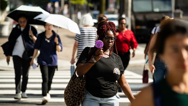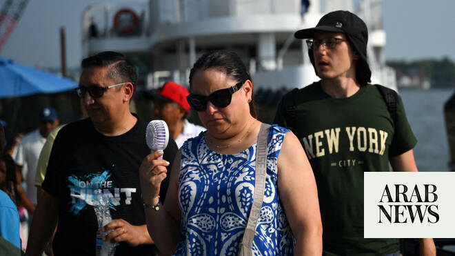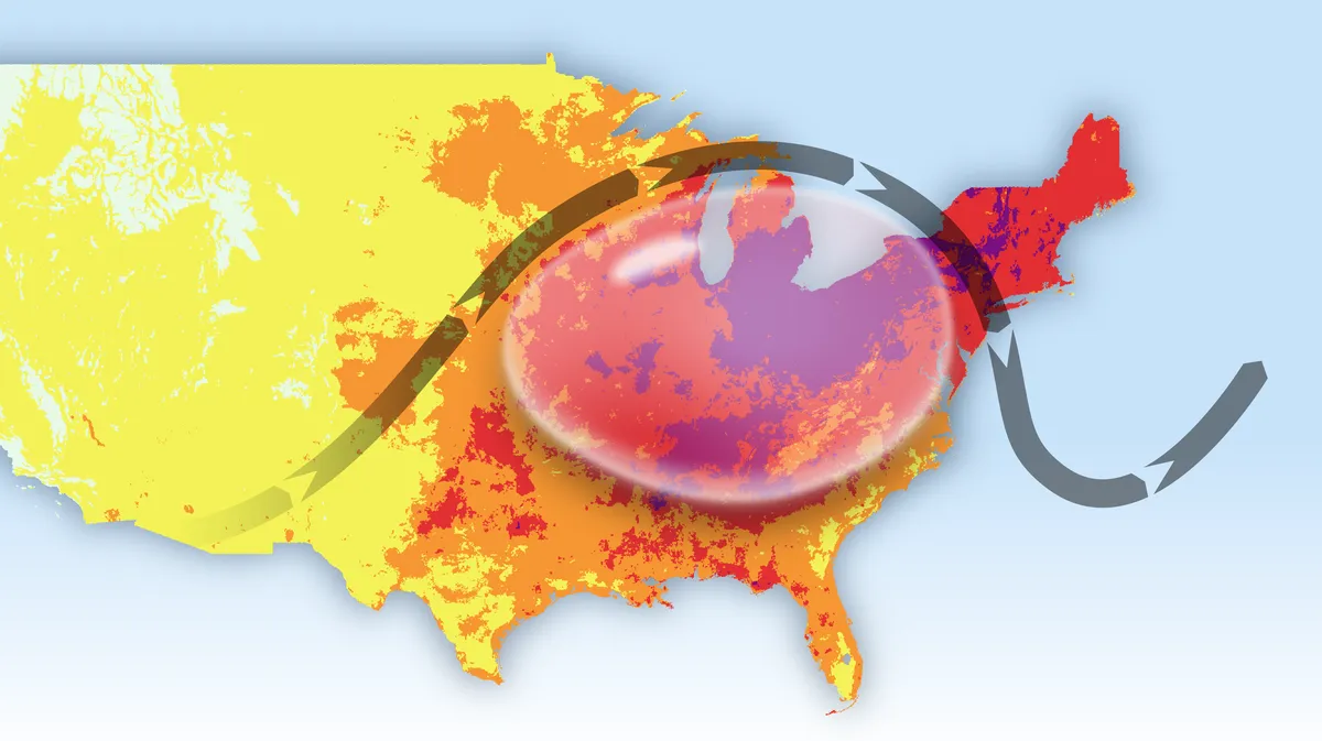
A dangerous heat wave is tightening its grip on the East Coast and straining the electric grid as people seek to cool off in their air conditioned homes and businesses. The worst conditions are now underway as millions prepare to celebrate the Fourth of July outdoors.
While record-breaking heat scorched parts of the Midwest on Wednesday, the most intense heat shifted into the Interstate 95 corridor Thursday and will persist through Friday. Temperatures both days are forecast to climb into the upper 90s and low 100s from Washington, DC, to Boston, with humidity pushing the heat index — what the air actually “feels like” to the body — above 110 degrees in spots.
Intense heat got off to a fast start Thursday and won’t let up anytime soon: Heat indices had topped 100 degrees by 10 a.m. Thursday in every major metro from Washington, DC, to New York City. Heat indices have only continued to soar, with parts of Washington, DC, and Philadelphia hitting 110 degrees at noon.
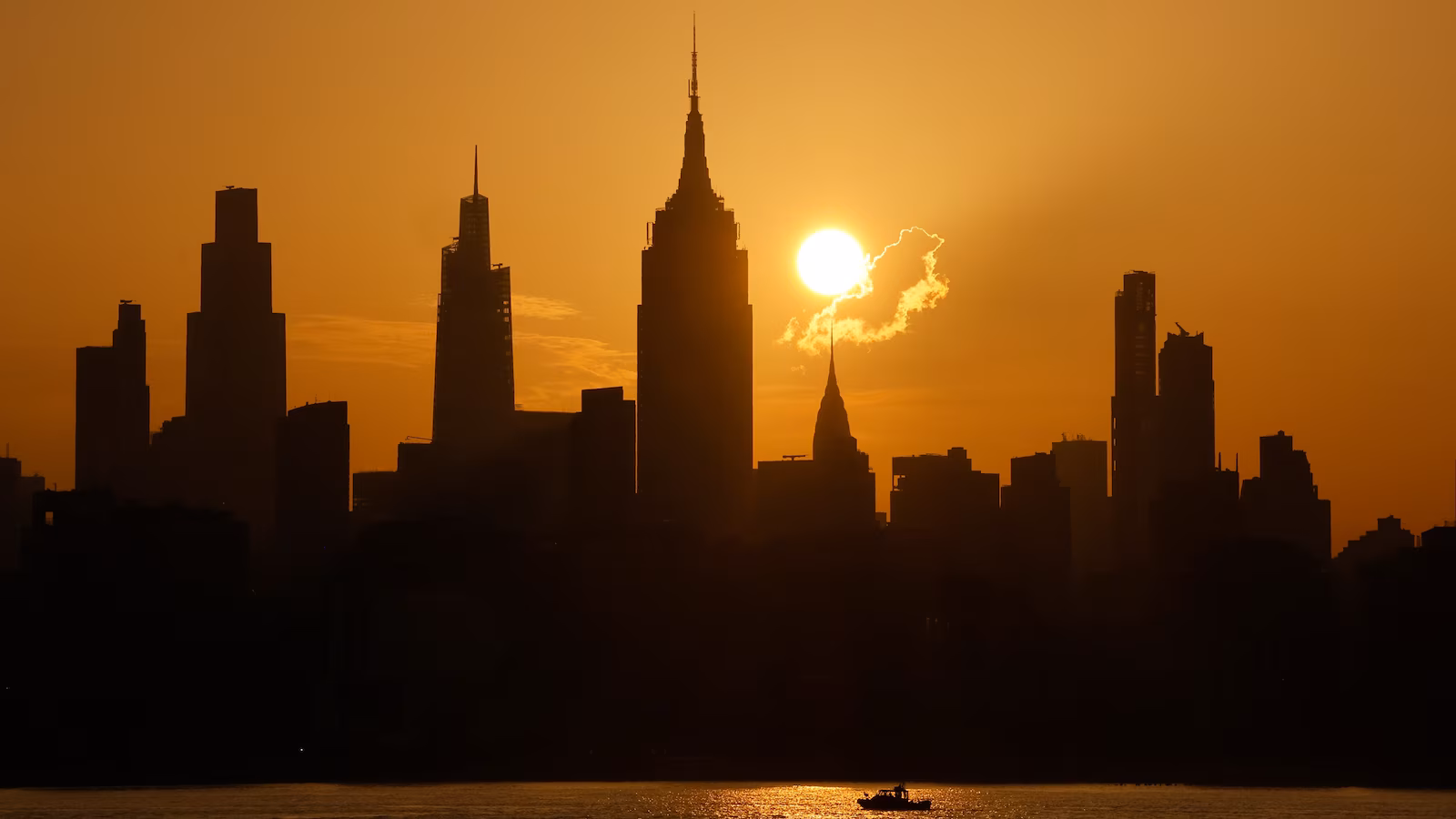
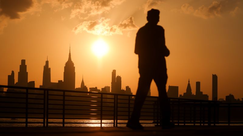
Air temperatures also pushed into the triple-digits early Thursday afternoon, including in Washington, DC; Philadelphia; Newark, New Jersey; and New York City, and could get hotter in the coming hours. New York City’s Central Park reached 100 degrees just before 2 p.m. ET. It’s the first triple-digit reading there since July 2012 and also ties the high temperature record for the day.