The current Iran war has been described as a contest of advanced military technology. And by that measure, the United States and Israel possess overwhelming advantages. Their air forces dominate the skies, their intelligence networks provide unprecedented surveillance, and their strike capabilities can reach deep inside Iranian territory.
But military superiority alone is unlikely to decide this war. Iran is not a target that can be pounded into submission from the air. The deeper logic of the conflict lies in geography.
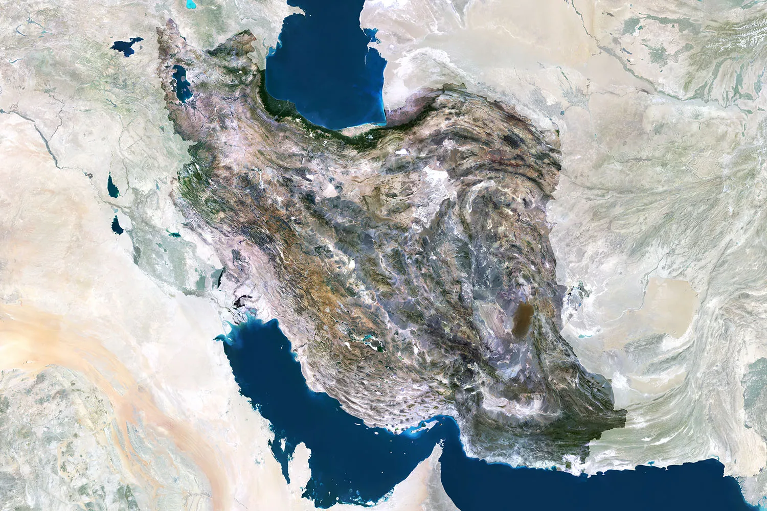
Iran’s current strategy, with its emphasis on endurance and imposing costs on its adversaries over time, reflects the structural realities of its territory. Unlike many regional states whose strategic options are constrained by their limited territory, Iran has vast interior space and formidable natural barriers. Smaller states in the Gulf region, whose economic infrastructure sits directly along the coast, remain far more exposed to rapid military pressure.
By contrast, Iran’s mountainous interior—dominated by the Zagros and Alborz ranges and the plateau that runs between them—creates natural defensive barriers that would complicate a large-scale ground invasion. Historically, these mountain chains have served as strategic shields, slowing and exhausting invading forces for centuries, from the difficulties faced by Mark Antony’s Roman armies in 36 B.C. in penetrating the Iranian plateau to the stalling of Iraq’s advances along the Zagros front during the 1980-88 Iran-Iraq War.