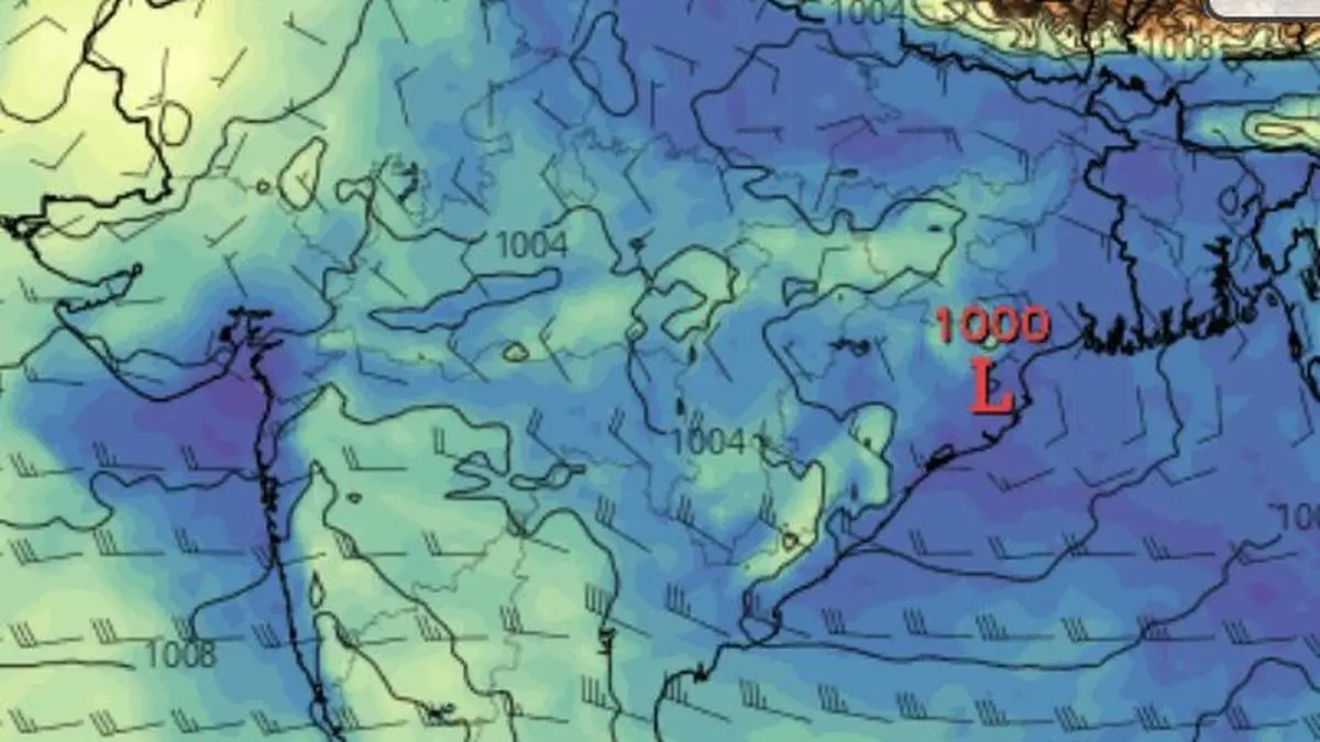
Monsoon moisture is densest (in blue) over south Gujarat and Mumbai; Bihar; Uttar Pradesh; and Central India as a low-pressure area (marked L) is brewing over north-west Bay of Bengal-Odisha on Thursday morning.
| Photo Credit:
www.tropicaltidbits.com
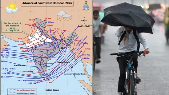
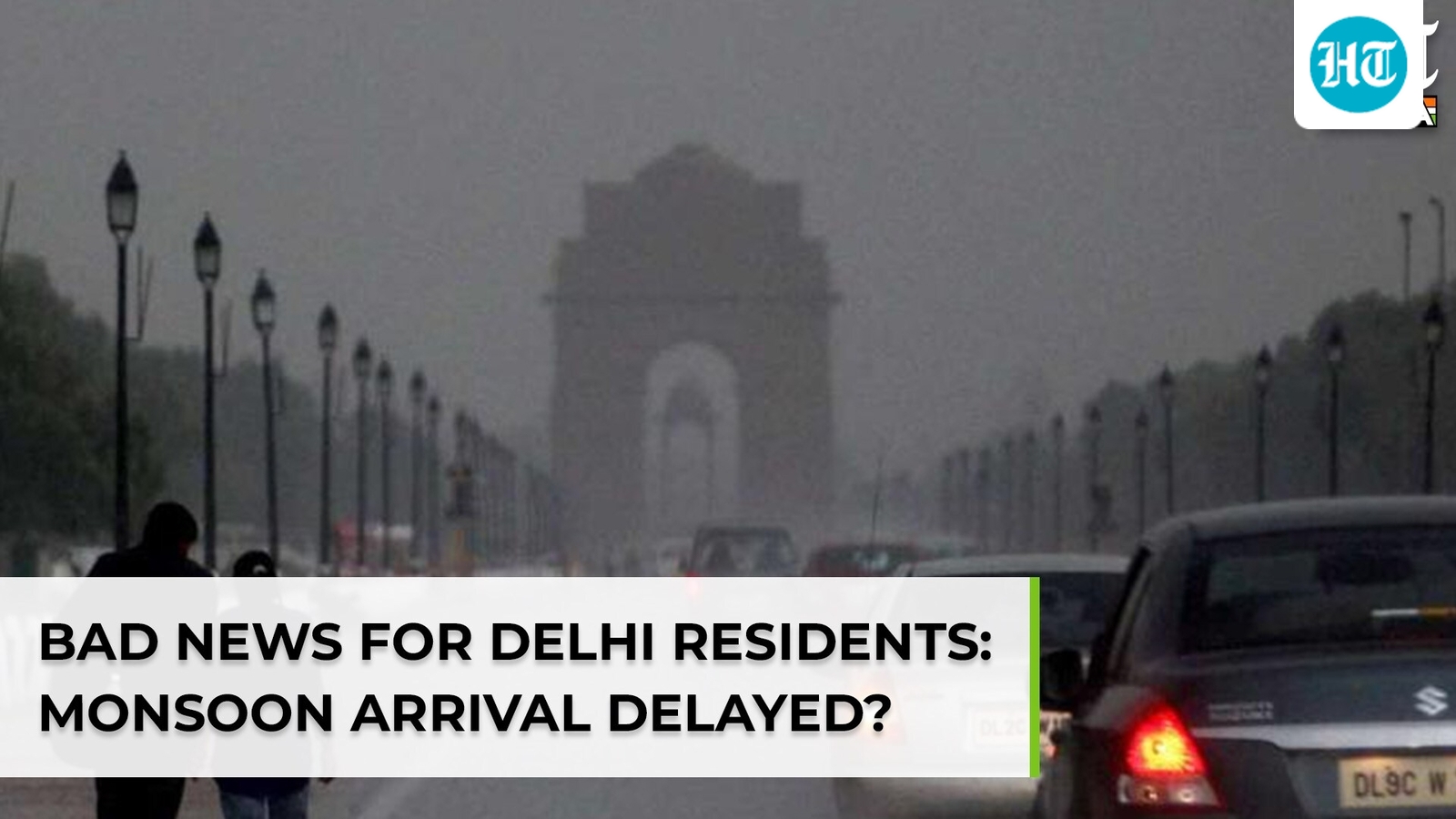
The south-west monsoon reached Delhi on Thursday, five days later than its normal onset date of June 27, the India Meteorological Department (IMD) announced in a morning update.It also advanced into more parts of Gujarat, remaining parts of Uttar Pradesh, most parts of Madhya Pradesh, Haryana and Punjab, and parts of Rajasthan. The northern limit passes through Porbandar and Vallabh Vidyanagar in Gujarat, Neemuch in Madhya Pradesh, Tonk in Rajasthan, Bhiwani in Haryana, and Bhatinda in Punjab.Vigorous onset spellConditions are favourable for further advance into more parts of Gujarat, remaining Madhya Pradesh, Haryana and Punjab, and more of Rajasthan over next two to three days, setting the stage for a vigorous onset spell across North-West India, the last geographical region of the country to come under the monsoon’s sweep.The seasonal trough over North-West India is now ideally positioned to receive strengthening monsoon currents. On Thursday morning. It extended from Rajasthan to the north-east Bay of Bengal, where a cyclonic circulation over adjoining north-west Bay and adjoining Odisha coast was pumping moisture deep into the subcontinent.Low-pressure areaThe circulation is expected to consolidate into a low-pressure area by Friday, potentially ushering in a fresh and productive phase of the monsoon across the agricultural heartland of Central and North-West India. Even so, the evolving monsoon will have to contend with developments over the South China Sea and the western Pacific. Two tropical systems in these oceanic spaces are drawing upon the same reservoir of tropical moisture that sustains the Indian monsoon. The first, a depression over the South China Sea, is projected by global models to intensify into a minimal typhoon (cyclone) while tracking north-west towards southern China. Pacific typhoonsThe second is tropical storm Bavi over the central Pacific located 4,000 km away from Taipei. It is forecast to turn westward into the Philippine Sea, where exceptionally warm waters could fuel its rapid intensification into a super typhoon early next week before recurving towards the Ryukyu Islands, north-east of Taiwan.Although both systems are likely to tap monsoon moisture, their projected inward tracks should help limit their impact on the Indian monsoon, if not add incrementally to the flows. Had they tracked farther away and east of South China Sea, they would have posed a greater risk of diverting moisture away from the subcontinent. Published on July 2, 2026