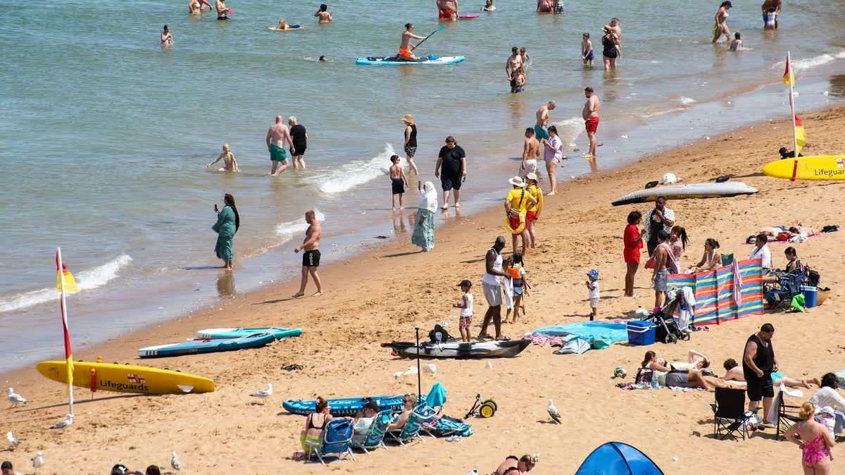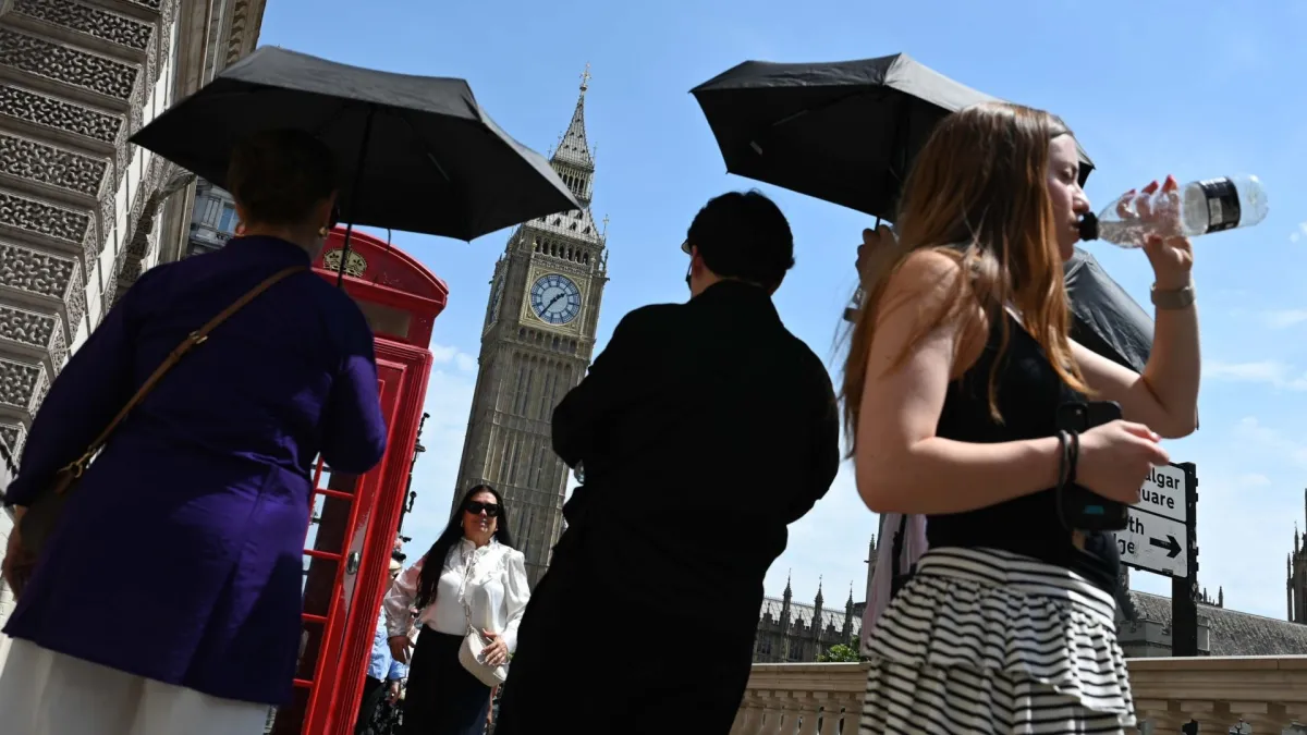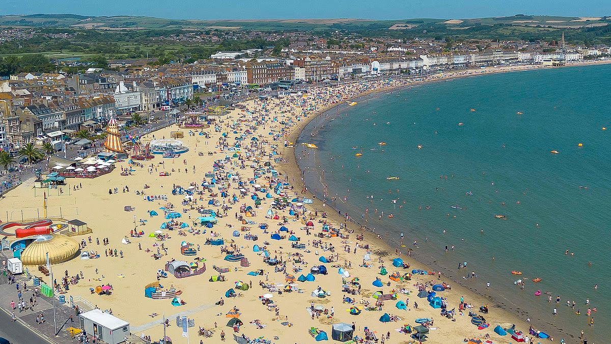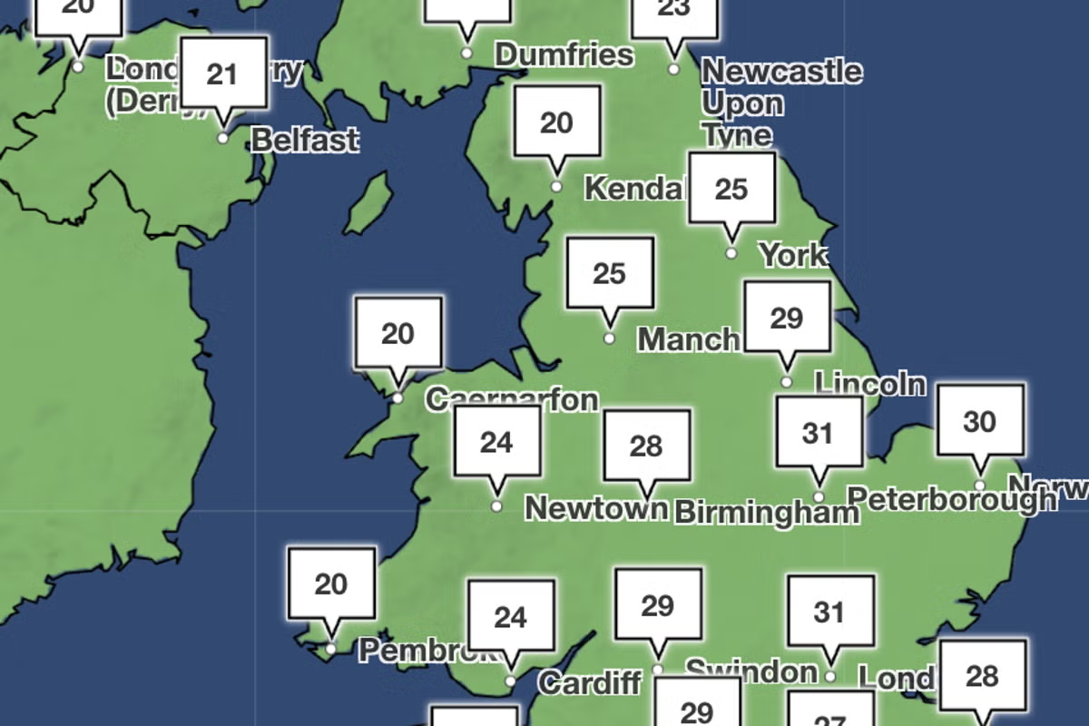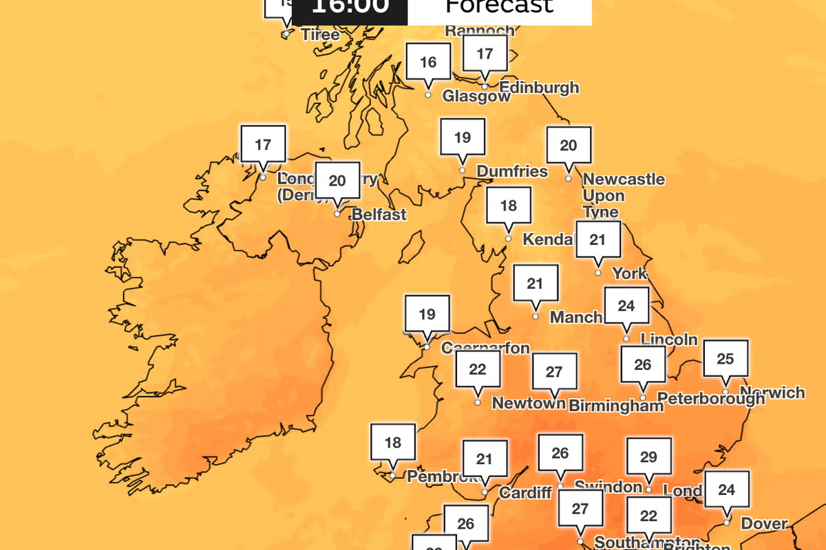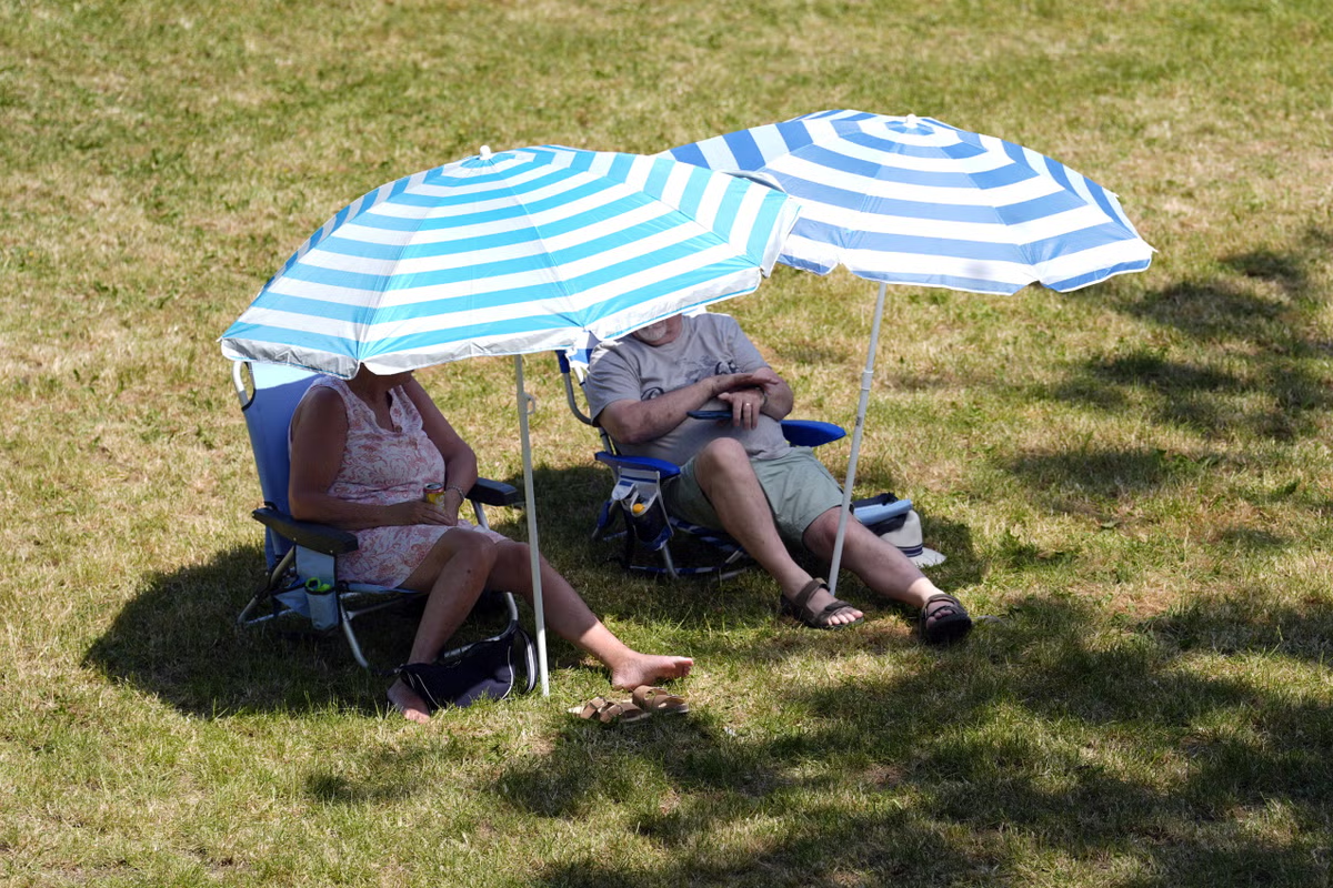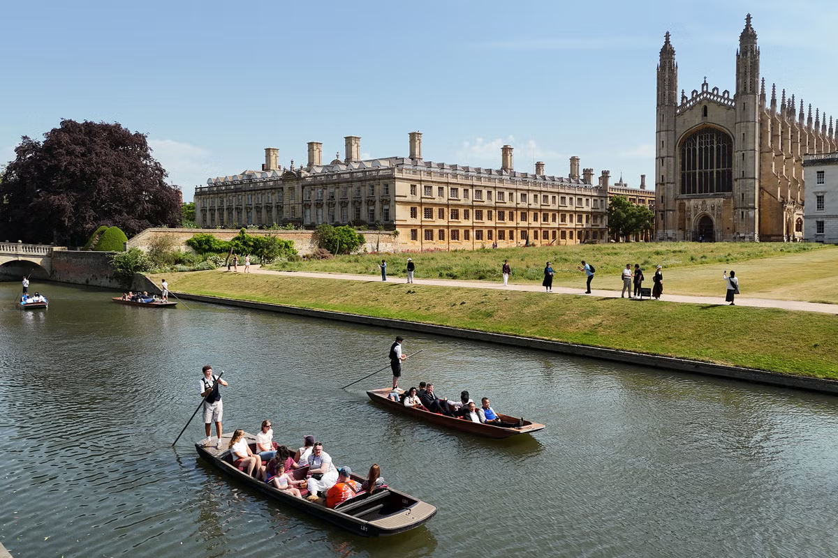
The next summer heatwave could sink its teeth into London for 10 consecutive days, starting this weekend. While the week opened with much-needed breeze and cooler temperatures, the balmy weather is not expected to last for long, as temperatures will heat up again from Saturday, quickly rising to 28C or 29C. Tony Wisson, Met Office deputy chief forecaster, said: “Toward the weekend, high pressure will continue to build in across most of the UK as it extends from the Azores. This will lead to more settled, warm or very warm conditions for many, especially across England and Wales, though some rain may still affect the far North.”He added: “The forecast for this weekend suggests that temperatures could approach high twenties across parts of England, perhaps 30C in parts of the southeast, with values of mid- to high-twenties in Wales.”Temperatures will heat up by next week to 31C (Met Office)Saturday’s forecast shows temperatures hanging around 28C in the capital by 4pm, but this looks to increase daily as temperatures hit 31C by 4pm on Monday. BBC Weather suggests highs between 28 and 32C that will last for 10 days from Saturday onwards. A heatwave occurs when a location records a period of at least three consecutive days with daily maximum temperatures meeting the heatwave temperature threshold.The temperature threshold is 27C for much of south-east England, and 28C in London and its surrounding areas.A hot summer is in store for the UK after a record-breaking June (AFP/Getty)The UK has already endured two heatwaves this year and smashed the record for the hottest spring ever in England and Wales. England marked the hottest June on record and the second warmest in Wales, with a new record temperature provisionally set in Lingwood, in Norfolk, last Friday as the mercury climbing to 37.7C.Mr Wisson said: “Although a return to heatwave conditions is looking increasingly likely for some areas, the likelihood of such extreme high temperatures or high levels of humidity as last week is currently low.”Already, the mercury is predicted to peak at 30C in the capital next week from Monday to Thursday as the high pressure dominates across England and Wales with dry and warm conditions. The south west and midlands will also soak up some heat across the same period with temperatures fluctuating between 28 and 30C in Birmingham and 27C in Exeter.Northern Ireland and western Scotland are expected to see more variable weather with more cloudy and breezy weather and outbreaks of rain, although the high pressure is expected to extend into the north with warm and dry conditions. Temperatures look set to peak at 20C for both areas, while fluctuating into the late teens next week.In its three-month summer outlook, the Met Office said temperatures during the period of 16 to 30 July are “likely to be above average overall, with a greater than normal chance of hot conditions developing at times, especially in the south.”Met Office forecastThursday:Cloud and patchy rain will clear from southern England to leave many places dry, though breezy, with some warm sunshine. However, it will be cooler with blustery showers across the north and west of Scotland and parts of Northern Ireland.Thursday night:It will remain breezy in the north with patchy rain, mainly affecting the west of Scotland. Elsewhere there will be clear periods with a few fog patches. A mild night.Friday:Friday looks breezy in the northwest with cloud and patchy drizzle, giving way to some more persistent rain later. Mostly fine elsewhere with lighter winds and some very warm sunshine.Outlook for Saturday to Monday:Scotland, Northern Ireland and the northwest of England will often be rather cloudy and breezy with outbreaks of rain. Mostly dry further south with some sunshine. Turning hot in places.
Next UK heatwave could last 10 days with temperatures to rise this weekend
High pressure from the Azores will build across the UK as temperatures are set to rocket again
618 words~3 min read