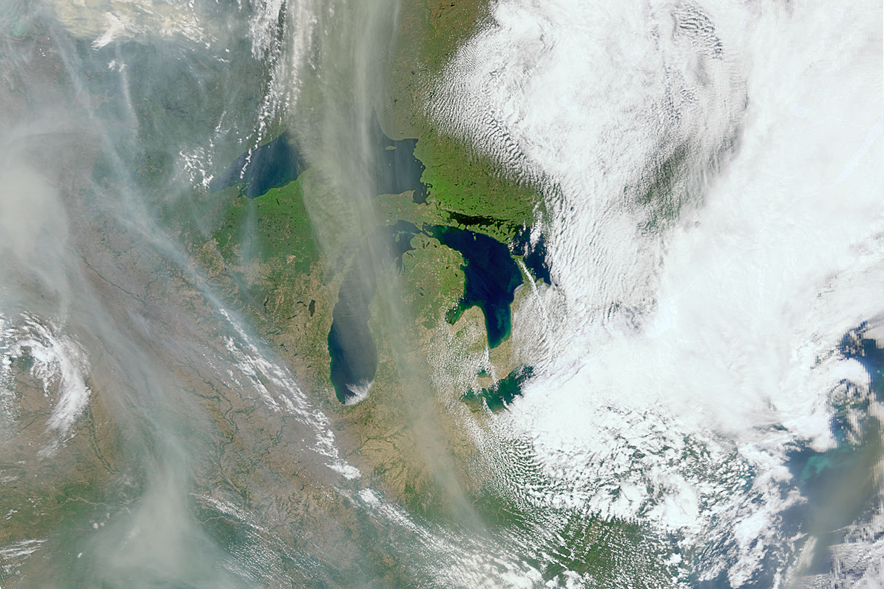
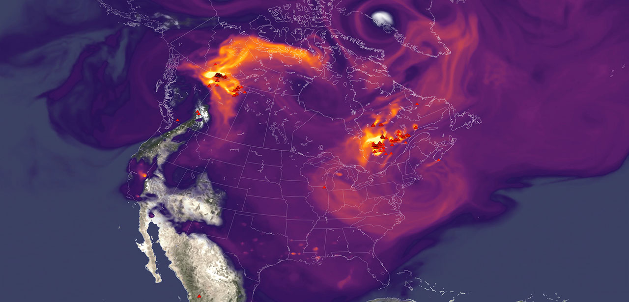
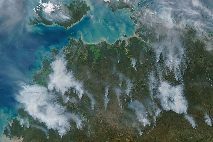
Wisps of smoke coming from fires in multiple provinces and territories in Canada travel over the Great Lakes. This image was taken by the Ocean Color Instrument aboard NASA's PACE satellite on May 31, 2025. Credit: NASA
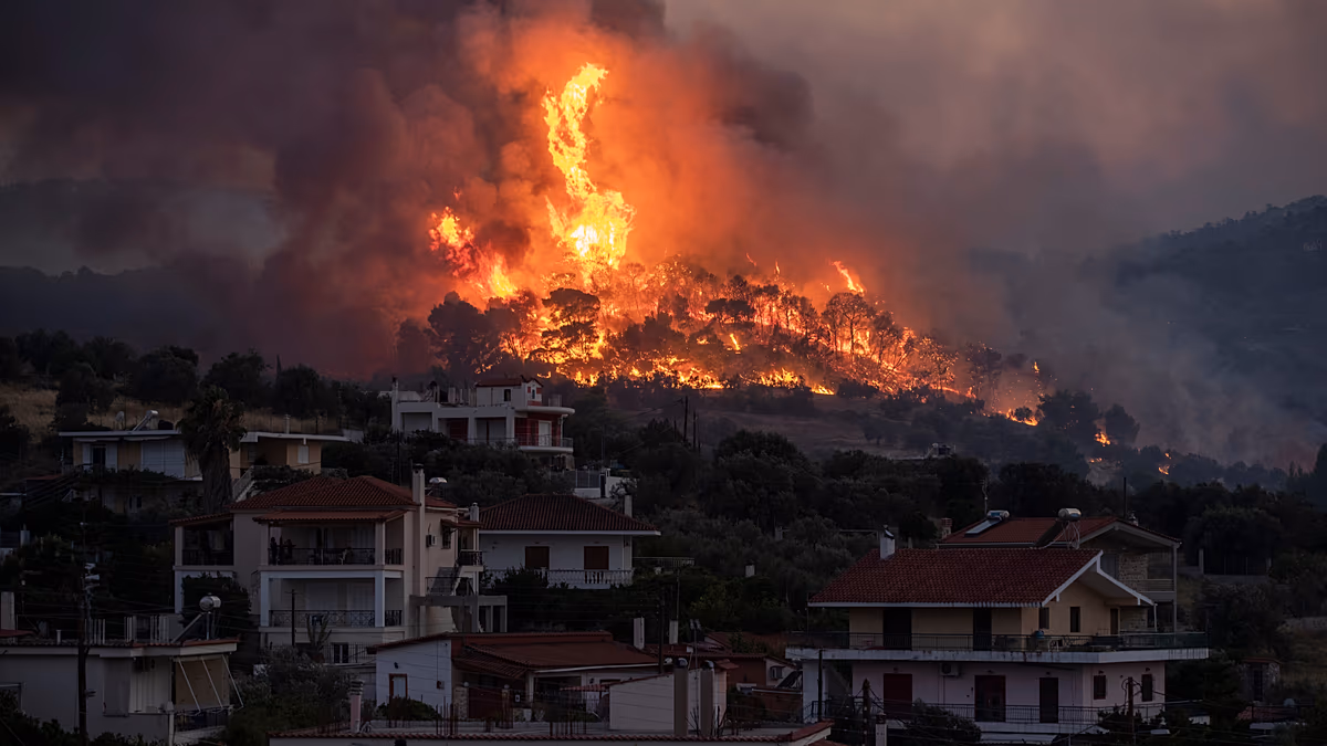
With the North American fire season underway, and a record number of acres already burned nationwide, NASA's Plankton, Aerosol, Cloud, and ocean Ecosystem (PACE) satellite's three instruments are observing vegetation precursors to fires, along with plumes of smoke and their movement. These data will help scientists piece together clues that deepen their understanding of wildfires.
"The challenge that we have is to take those clues and use them in a meaningful way, so our models of Earth properly represent what's happening," said Kirk Knobelspiesse, a remote sensing scientist working on the PACE mission at NASA's Goddard Space Flight Center in Greenbelt, Maryland.
While the satellite, which launched in February 2024, was designed to study Earth's ocean and atmosphere, it has an unexpected capability: monitoring changes to vegetation. It can also tell us about burn scars, the charred area of land left behind after a wildfire.
"The PACE satellite observes land too, and does it really well," said Skye Caplan, terrestrial lead for the PACE mission at NASA Goddard. "There is so much to explore with a new hyperspectral data set."